Pros & cons
PROS
- Iconic “Gates” passage between Boreal Mountain and Frigid Crags
- Classic remote float with clear water and big Brooks Range views
- True solitude on a designated Wild & Scenic river
CONS
- Fly-in only with no facilities; logistics are complex
- Mosquitoes can be intense and water levels fluctuate
Overview
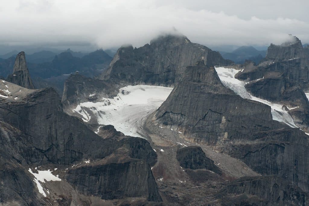
The North Fork Koyukuk is the wild heart of this park: a clear, free‑flowing river winding roughly 100 miles through broad, glacial valleys in the Endicott Mountains. It literally passes between Frigid Crags and Boreal Mountain—the famous “Gates of the Arctic” coined by Robert Marshall—before joining the Middle Fork. It’s protected as a National Wild and Scenic River, which fits: no roads, no signs, no campgrounds, just big country and silence.
Why it’s special
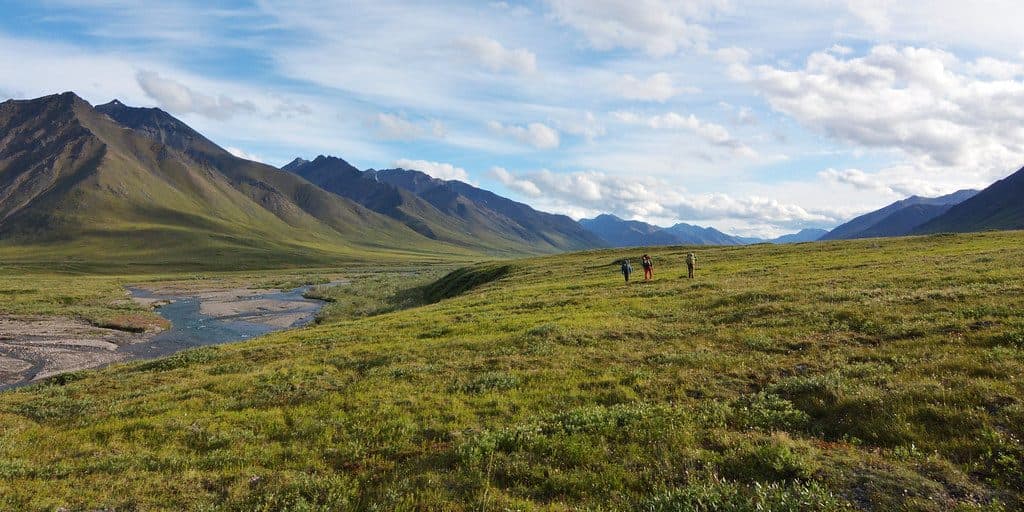
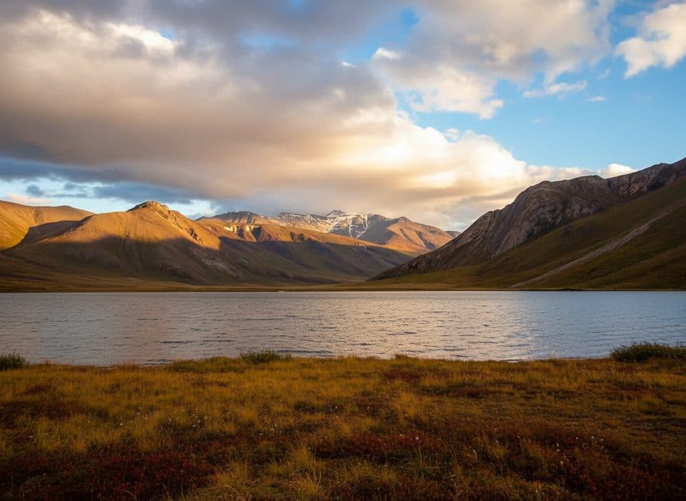
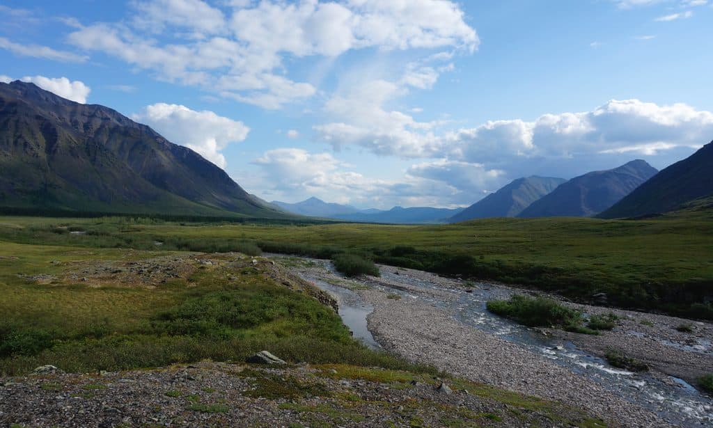
Few places deliver such a pure mix of scenery and solitude. Expect U‑shaped valleys carved by ancient ice, alternating fast, rocky riffles and calm, sandy stretches, and constant mountain backdrops. The Gates themselves are the showstopper—a narrow portal dividing stark peaks as the river slips south.
On the water
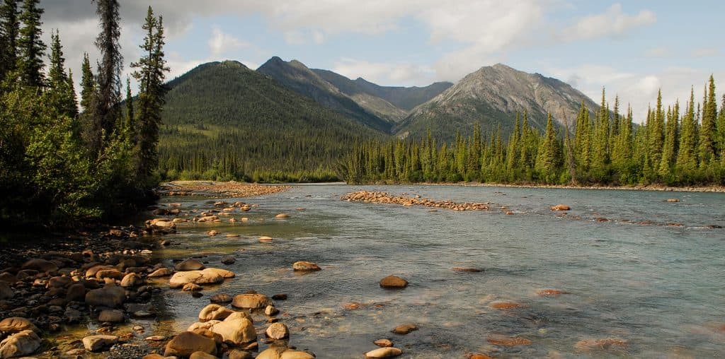
Most visitors experience the North Fork as a multi‑day float. It’s a small, clear river with character: quick, stony sections demand attention; mellow reaches invite you to drift and watch the ridgelines. Guided itineraries often plan a layover day near the Gates to hike the surrounding valleys or cast a line.
Wildlife
This corridor supports a full cast of Arctic fauna: moose and caribou in the valleys, Dall sheep on the high slopes, and both wolves and bears (grizzly and black) roaming widely. Birders can watch for golden eagles and hardy tundra species. Keep your distance and keep food locked down—bear awareness isn’t optional out here.
Access and logistics
There’s no road access. Typical trips charter a small plane to a gravel bar near or below the Gates, then float roughly 90 miles toward Bettles. Ambitious packrafters sometimes hike in from Anaktuvuk Pass via Ernie Pass before dropping to the river. Navigation is all on you—bring detailed maps and the skills to use them.
Conditions and preparedness
This is true wilderness. There are no trailheads, restrooms, or developed camps. Bugs can be fierce in summer, and weather can swing quickly even on bluebird days. Water levels vary and shape the difficulty of the paddle. Bring bear‑resistant food storage, a satellite communicator, and a full self‑supported kit.
Best time to visit
Summer is the practical window when the river is running and daylight is long. Aim to start early in the day for softer light at the Gates, and build in a layover—both for weather and to explore on foot. Crowds aren’t a concern; flight schedules and river levels are.

A note on history and landscape
People have moved through this valley for thousands of years; archaeology points to deep Indigenous history here. Geology tells an older story still—glaciers sculpted the broad valleys and left a landscape that feels oversized even by Alaska standards.
Where it is
67.0469, -151.0739Tips for North Fork Koyukuk River
- 01Book bush flights from hubs like Bettles or Coldfoot well in advance.
- 02Bring a head net and strong repellent—mosquitoes can be fierce in summer.
- 03Carry a satellite communicator; you won’t have service and help is far away.
- 04Plan a layover day near the Gates for hiking, fishing, and weather buffers.
- 05Use bear‑resistant food storage and practice strict Leave No Trace.
Near North Fork Koyukuk River
All places →All trails →
14.9 mi awayBettles Ranger StationThe essential hub for briefings before flying into the wildernessExhibit · Visitor Center
14.9 mi awayGates of the Arctic National Park Sign at Bettles Visitor CenterA quick photo op beside the park’s backcountry launchpad in BettlesRestroom · Exhibit
27.7 mi awayArctic Interagency Visitor Center (Coldfoot)Arctic hub for exhibits, expert trip advice, and free WiFiVisitor Center · Exhibit
27.9 mi awayColdfoot CampRemote Brooks Range base with beds, fuel, hot meals, and toursLodging · Restaurant
Arrigetch Peaks Mountaineering RouteRemote off-trail trek to Alaska’s fiercest granite spiresChallenging · 27.7 mi · 72 hr