Pros & cons
PROS
- True solitude in a pristine, roadless Brooks Range valley
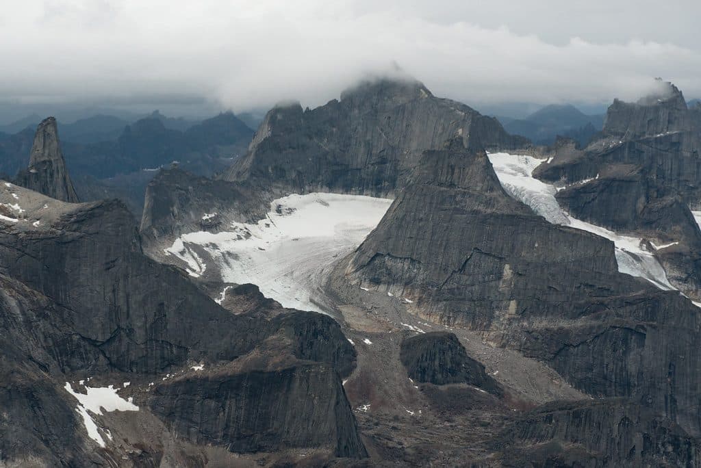
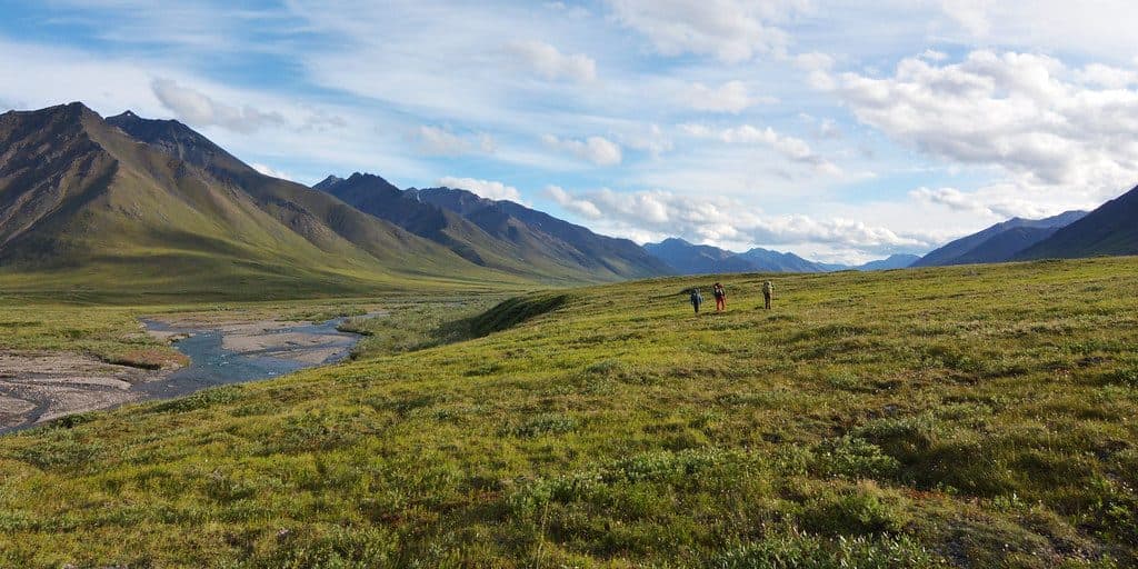
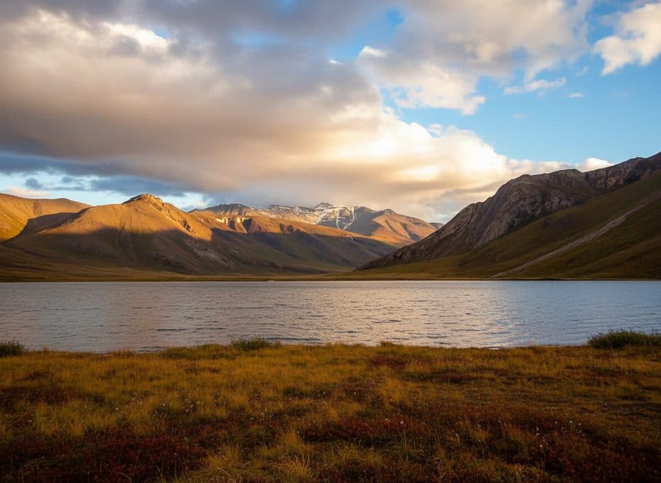
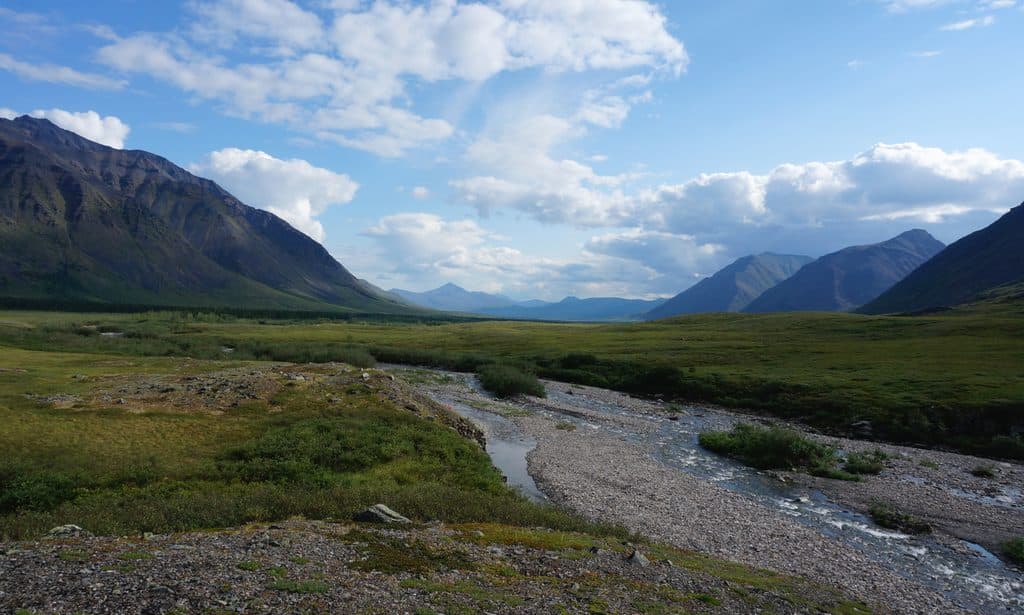
- Scenic glacial valleys, rolling tundra, and mountain backdrops
- Generally packraft-friendly Class I–II float when levels cooperate
CONS
- Access usually requires a chartered bush plane; zero on-site services
- Cold, changeable water with potential logjams and sudden level spikes
Overview
The Tinayguk River is a remote tributary of the North Fork of the Koyukuk, flowing entirely within the park’s wild heart. A designated Wild & Scenic segment (about 44 miles) winds through an untouched Brooks Range landscape with no roads, no trails, and no infrastructure—just big country and silence.
Scenery & Character
Expect glacially carved valleys, rolling tundra benches, occasional canyons, and steady mountain horizons. As you near the confluence with the North Fork, you’re entering one of the park’s classic river corridors with dramatic views and that unmistakable “edge-of-the-map” feel.
On the Water
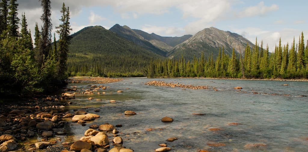
Most parties come to float it: the Tinayguk typically runs Class I–II, but it’s still serious Alaska—ice-cold water, wood hazards, and levels that can jump with rain or melt. There are no developed camps, so you’ll choose dispersed gravel bars and tundra benches, practicing strict Leave No Trace. In low, stable water it’s a mellow packraft drift; in high water it can feel like a different river.
Wildlife
This is prime habitat for caribou, moose, Dall sheep, wolves, and grizzly bears. Raptors and migratory birds work the river corridor and surrounding tundra. You’re in their home—keep food secured in bear-resistant containers and give all wildlife a wide berth.
Access & Logistics
Reaching the Tinayguk takes commitment. Most travelers charter a bush plane for drop-off/pickup; others link it via cross-country hiking or packraft traverses from nearby drainages. There are no trailheads, airstrips, restrooms, or facilities on the river. Bring full backcountry navigation (maps, GPS), a satellite communicator, robust cold/rain layers, and the mindset for complete self-sufficiency. Treat all water.

When It’s Best
Rivers typically come free of ice by mid-June, with the main travel season running late June through August. Water can rise quickly after rain, and bugs can be fierce—especially early to mid-summer. There are no crowds or hours to worry about, but the price of solitude is careful weather and water-level planning.
Is It Worth It?
If you’re after a guided, easy win—skip it. If you crave a quiet, low-key float framed by big Brooks Range scenery, and you’re comfortable solving problems far from help, the Tinayguk delivers one of the park’s purest wilderness experiences.
Where it is
67.5689, -151.0417Tips for Tinayguk River
- 01Arrange bush-plane drop-off and pickup well in advance and build weather buffers.
- 02Carry a satellite communicator plus paper maps and GPS—there’s no cell service.
- 03Plan for cold rain and river immersion; dress and pack for swift temperature swings.
- 04Use bear-resistant food containers and practice strict food odor control.
- 05Expect mosquitoes; bring proven repellent and headnets for early–mid summer.
Near Tinayguk River
All places →All trails →
14.7 mi awayWild LakeRemote floatplane lake ringed by Brooks Range peaks and solitude
19.2 mi awayBoreal MountainHalf of the park’s namesake gateway, above the Koyukuk River
25.6 mi awayMount DoonerakRemote Brooks Range peak, the Matterhorn of the Koyukuk
31.5 mi awayArctic Interagency Visitor Center (Coldfoot)Arctic hub for exhibits, expert trip advice, and free WiFiVisitor Center · Exhibit
Arrigetch Peaks Mountaineering RouteRemote off-trail trek to Alaska’s fiercest granite spiresChallenging · 27.7 mi · 72 hr