Pros & cons
PROS
- Highest point in the park
- Expansive 360-degree Brooks Range views
CONS
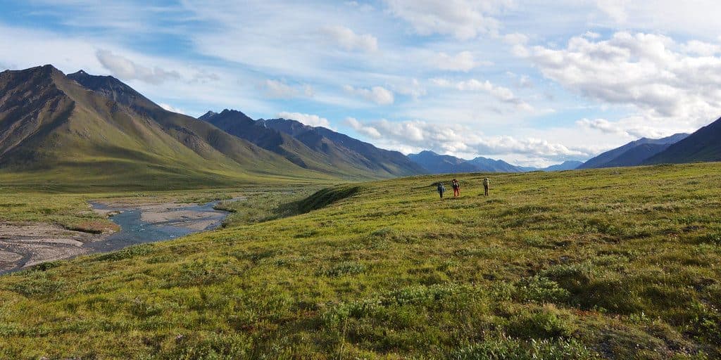
- Extremely remote with no roads or trails
- Technical mountaineering and serious navigation required
- Unpredictable arctic weather and frequent cloud cover
Overview
The summit of Mount Igikpak is the highest point in the park and the Schwatka Mountains of the Brooks Range. It sits near the headwaters of the Noatak River and not far from the Arrigetch Peaks. This is true wilderness—no roads, no marked trails, and no facilities—so the draw here is raw remoteness and the pride of standing on the park’s roof.
What You'll See
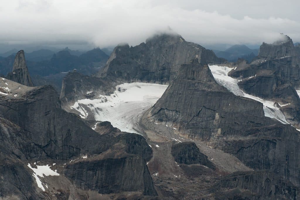
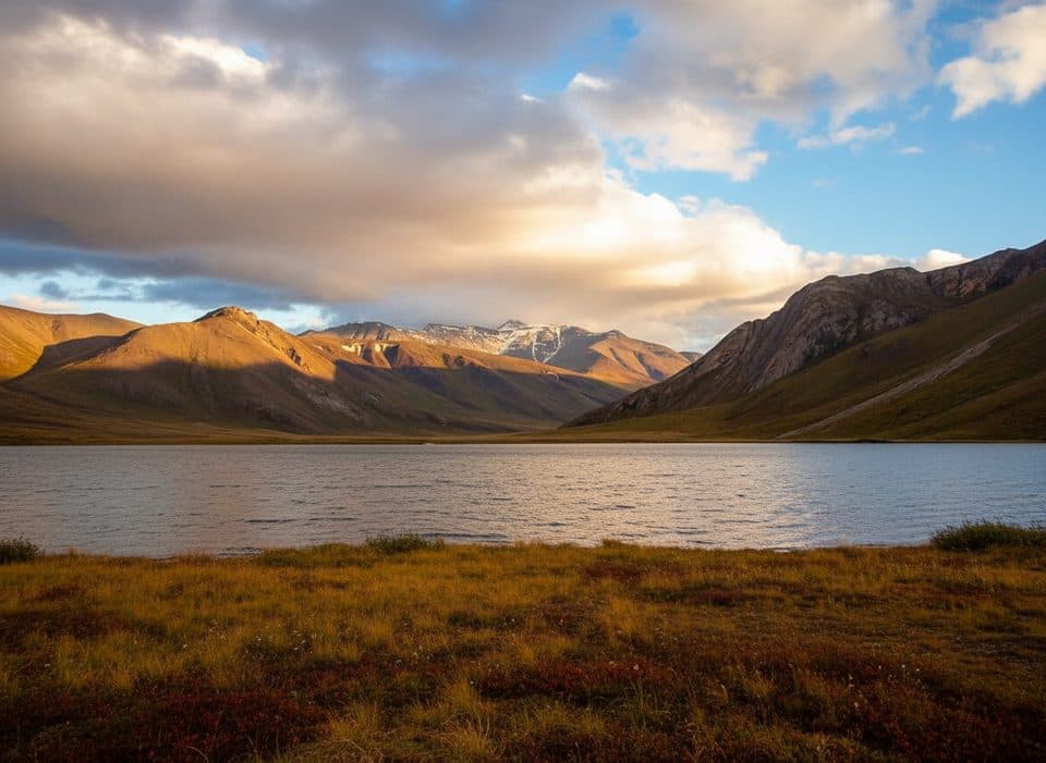
From the summit, expect sweeping 360-degree views across untouched valleys and jagged ridgelines. Igikpak is known for dramatic granite spires and glaciated cirques that feel otherworldly in clear weather. On rare bluebird days, you can take in a grand panorama of the Brooks Range and the beginnings of the Noatak watershed.
Getting There and Difficulty
Reaching Igikpak is an expedition. Access typically involves a bush flight followed by multi-day, off-trail travel through trackless terrain. The mountain has routes with technical rock climbing (reports mention up to 5.8 and some aid moves), so a capable team, solid route-finding, and full self-sufficiency are essential. There is no cell service and no on-the-ground rescue infrastructure.
History
First ascent: August 9, 1968, by David Roberts, Chuck Loucks, and Al De Maria. Their account underscores both the logistical complexity and the magnetic pull of this remote Arctic summit.
Conditions and Safety
Weather here is fickle: clouds, wind, and sudden storms are common. There are no developed services of any kind—no restrooms, campgrounds, or trailheads. Plan a self-contained trip with technical gear as needed, robust navigation tools (maps/compass/GPS), satellite communication, emergency shelter, and bear-safe food storage.
Wildlife
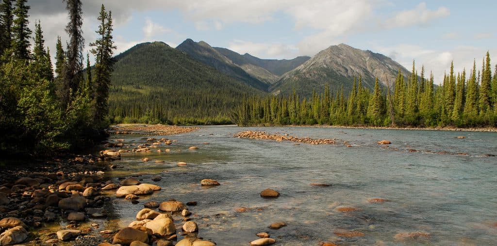
While you’re unlikely to see much at the exposed summit, the broader park is home to grizzly bears, wolves, Dall sheep, caribou, arctic foxes, and raptors. Expect sightings to be more likely in valleys and lower slopes than on the peak itself.
Best Time to Visit
There are no crowds or hours to worry about—this is among the least-visited park interiors. Aim for a stable weather window and monitor dedicated mountain forecasts for Igikpak. If the clouds lift, early and late light reward photographers; otherwise, flexibility around weather is your best friend.

Where it is
67.4050, -154.9670Tips for Summit of Mount Igikpak
- 01Plan an air taxi or bush flight; there’s no road access.
- 02Use dedicated mountain weather forecasts for Igikpak and wait for a safe window.
- 03Carry satellite communication—there’s no cell service or on-site help.
- 04There are no trails; expect cross-country travel and technical climbing.
- 05Pack fully self-sufficient: navigation, emergency shelter, and bear-safe food storage.
Near Summit of Mount Igikpak
All places →All trails →
19.9 mi awayArrigetch PeaksRemote granite spires for serious wilderness hikers and climbers
27.4 mi awayWalker LakeRemote Brooks Range lake for paddling, solitude, and big views
40.6 mi awayLake MatcharakRemote Brooks Range lake and Noatak float hub with deep history
66.7 mi awayKurupa LakeFly-in wilderness lake and gateway to Brooks Range solitude
Arrigetch Peaks Mountaineering RouteRemote off-trail trek to Alaska’s fiercest granite spiresChallenging · 27.7 mi · 72 hr