Pros & cons
PROS
- Remote, classic valley‑glacier scenery with big, wild views
- Far from cruise routes, so solitude comes standard
CONS
- No facilities, roads, or marked trails
- Backcountry access and conditions can be challenging and hazardous
Overview
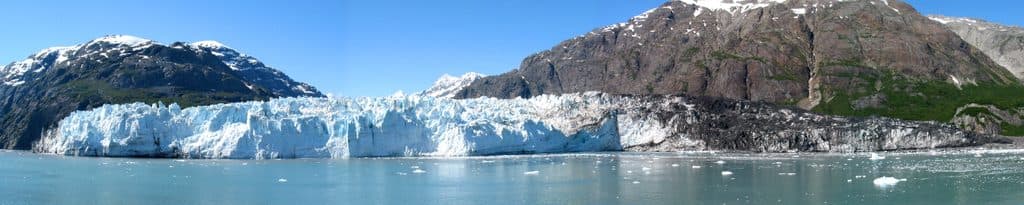
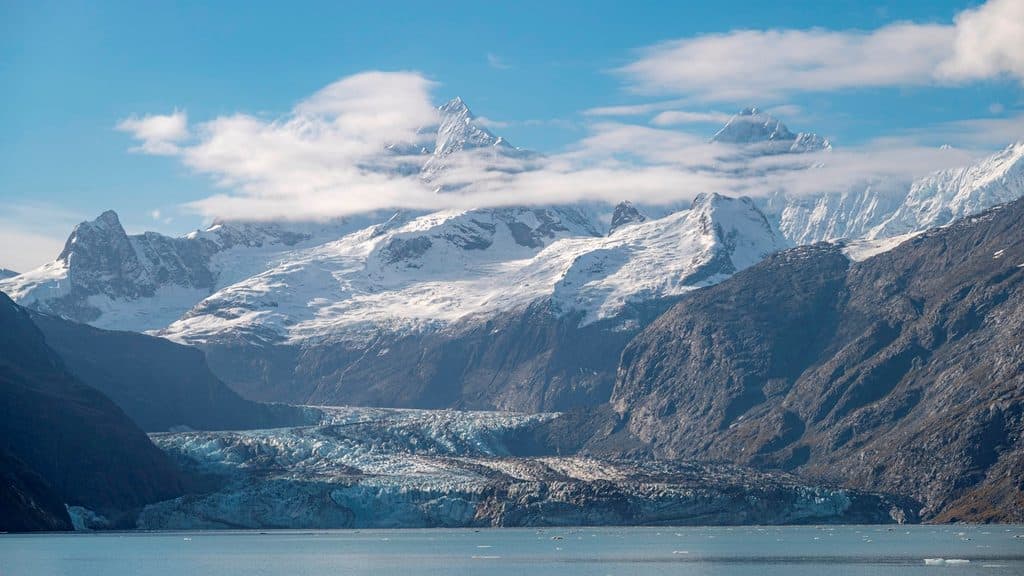
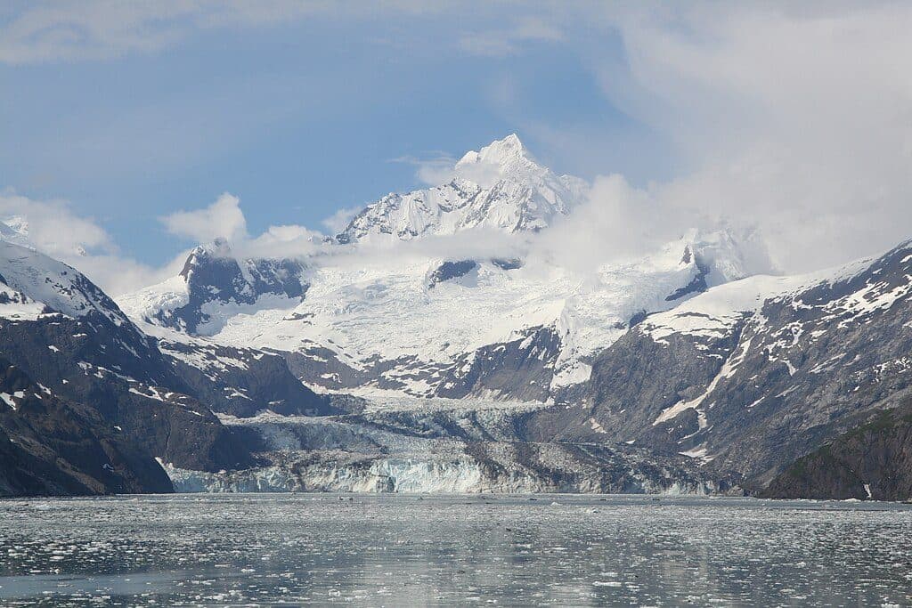
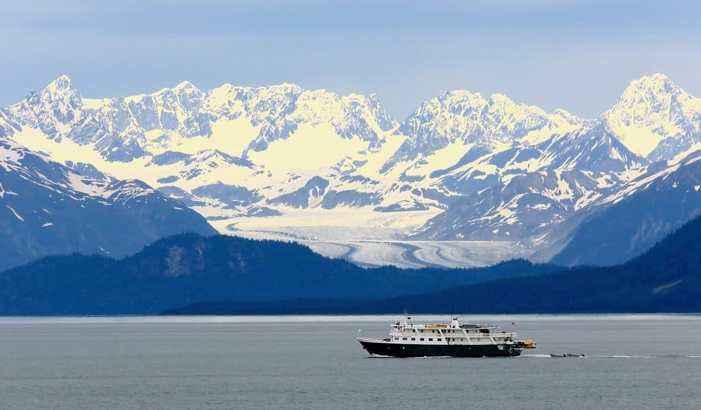
Casement Glacier is a 14‑mile valley glacier tucked in the park’s East Arm, draining south toward Adams Inlet rather than calving into the bay. It’s about raw ice, rugged ridgelines, and an inland terminus that feels worlds away from the cruise‑ship circuit. Named in 1890 for R. L. Casement during the Reid expedition era, it once fed Muir Glacier but has since become detached [wikipedia.org](https://en.wikipedia.org/wiki/Casement_Glacier).
What makes it different
Most Glacier Bay headliners are tidewater glaciers; Casement isn’t. Its inland ending and long, sinuous valley form make it a clean read of glacial flow—seracs, crevasses, and icefalls without the constant boom of tidewater calving. That, plus its outflow to Adams Inlet, sets a quieter, more backcountry tone than the West Arm showpieces [wikipedia.org](https://en.wikipedia.org/wiki/Casement_Glacier).
Access and what to expect
There are no roads, no trailheads, and no front‑country services anywhere near Casement Glacier. On official bay maps, this zone is blank wilderness between ice and inlet—plan on expedition‑style logistics and complete self‑reliance. If you’re not already comfortable with marine or air approaches and backcountry travel, pick an easier target first [nps.gov](https://www.nps.gov/glba/planyourvisit/maps.htm).
Conditions and safety
Expect rapidly changing weather, cold, and typical glacier hazards (crevasses, unstable ice, swift meltwater). This is bear country; standard food storage and wildlife awareness apply. There’s no quick help out here—your preparation is your safety net.
Best time to visit
Summer is the practical window for most parties, aligning with the park’s backcountry operations. If you plan to camp in the backcountry between May 1 and September 30, an in‑person Backcountry Camping Orientation at the Visitor Information Station is required [nps.gov](https://www.nps.gov/glba/planyourvisit/camp.htm).
Who will love it (and who won’t)
Glacier geeks, wilderness photographers, and seasoned backcountry travelers will find a quiet, textbook glacier in a grand setting. Casual visitors looking for easy calving shows and ranger talks should prioritize the West Arm tidewater glaciers instead.
Sources: [wikipedia.org](https://en.wikipedia.org/wiki/Casement_Glacier), [nps.gov](https://www.nps.gov/glba/planyourvisit/maps.htm), [nps.gov](https://www.nps.gov/glba/planyourvisit/camp.htm)
Where it is
59.0217, -135.9303Tips for Casement Glacier
- 01There are no services—plan for full self‑sufficiency and carry a satellite communicator.
- 02If backcountry camping May 1–Sep 30, complete the required in‑person orientation at the Visitor Information Station.
- 03Carry detailed topo maps and navigation; this area has no marked trails.
- 04Plan access carefully; there is no road or trail approach to the glacier.
Near Casement Glacier
All places →All trails →
7.6 mi awayMcBride GlacierRemote tidewater glacier with calving ice and harbor seals
11.7 mi awayAdams InletRemote fjord arm with big scenery and storied glacial geology
12.1 mi awayMuir InletQuieter east arm fjord favored by kayakers, rich in glacial history
17 mi awayMuir GlacierRemote, rapidly retreating glacier at the head of Muir Inlet
39.2 mi awayTlingit TrailA gentle bayside stroll into Huna Tlingit culture and Bartlett CoveEasy · 1 mi · 1 hr
Bartlett River TrailQuiet rainforest walk to a wildlife-rich river estuaryEasy · 5 mi · 4.5 hr
Forest Loop TrailRainforest loop with pond views, beach detour, and spring birdsongEasy · 1 mi · 1 hr
Bartlett Lake TrailLong, soggy rainforest trek to a quiet lake—bring rubber boots.Moderate · 8 mi · 7 hr