Pros & cons
PROS
- Classic fjord scenery framed by steep, rugged mountains
- A clear, on-the-water look at Glacier Bay’s rapid glacier retreat story
CONS
- No facilities or services of any kind
- Access is by water only and conditions can change fast
Overview
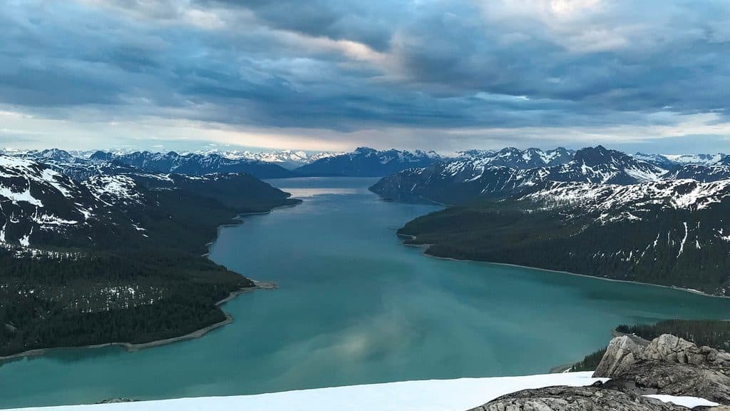
Geikie Inlet is a remote side arm of Glacier Bay—quiet, dramatic, and very much wilderness. Expect a narrow, fjord-like waterway hemmed in by steep slopes and big relief, with little to no sign of development. It’s the kind of place you come for silence, scenery, and geology.
What You’ll See
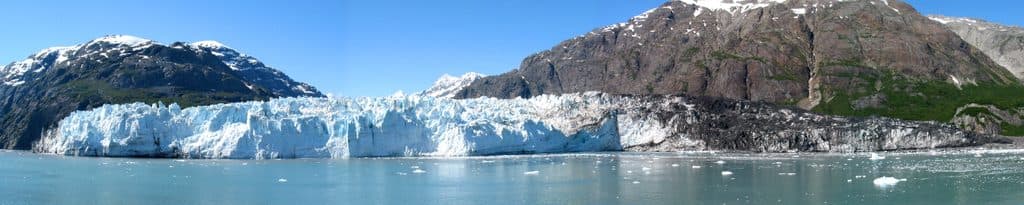
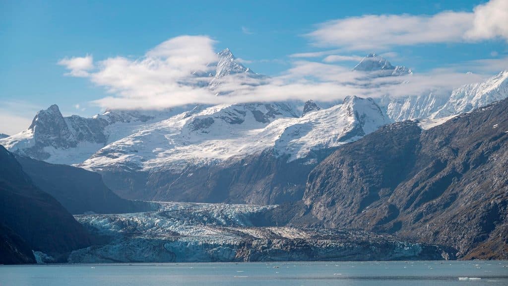
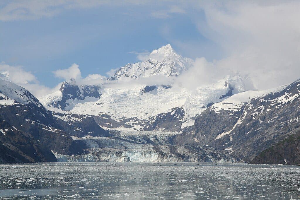
From the water, you’re looking at classic glacial terrain: dark bedrock walls rising sharply from tidewater and a backdrop of named peaks like Fossil Peak and Mount Wood. The inlet sits among a cluster of side coves and inlets—Charpentier, Hugh Miller, Tidal, and more—so the scenery changes bend by bend. You’re also seeing the aftermath of big ice: the modern Geikie Glacier now lies inland from the head of the inlet, leaving a deep, quiet fjord where ice once filled the waterway.
Glacial History in Plain View
This inlet tells one of Glacier Bay’s clearest glacier-change stories. John Muir wrote about the Geikie Glacier here in the late 1800s; by 1892, H. F. Reid found it split into two—keeping “Geikie” for the northern remnant and naming the southern one “Wood Glacier.” Wood Glacier has since vanished. That timeline makes Geikie Inlet a living exhibit of how fast this landscape has changed.
Geology Highlights
USGS work in this area documents substantial bedrock complexity, including thick sequences of limestone with fossil-bearing layers. Even if you’re not a geologist, you’ll notice the stark contrasts—layered rock, sharp ridgelines, and sheer walls shaped by ice.
Access and Expectations
This is a boat-or-kayak destination. There are no docks, no trails, no restrooms, no picnic tables—nothing developed. Navigation requires your own charts and judgment, and weather can turn quickly. Plan like you’re on your own, because you are.
Wildlife
Specific wildlife notes for this inlet are limited, but Glacier Bay’s inlets often host marine mammals and seabirds, with the possibility of bears along the shoreline. Keep distance and follow park guidance if you encounter wildlife.
Best Time to Visit
There are no hours and essentially no crowds—your “best time” is when the marine forecast gives you a safe window. For photos, the inlet’s steep walls often look best in softer light; plan your approach for early or late angles if skies cooperate.

Where it is
58.6328, -136.4251Tips for Geikie Inlet
- 01Access by small boat or kayak only; bring charts and a GPS.
- 02There are no services—pack all food, water treatment, and emergency gear.
- 03Weather shifts fast; build extra time for wind, waves, and visibility.
- 04Bear-aware practices apply if you land on shore; secure food and trash.
- 05Expect dynamic shorelines and changing hazards due to glacial retreat.
Near Geikie Inlet
All places →All trails →
10.8 mi awayBlue Mouse CoveSheltered cove for quiet anchoring and whale watching
13.3 mi awayNorth Marble IslandBoat-only wildlife hotspot with a roaring sea lion and seabird chorus
13.4 mi awayBrady GlacierVast, remote ice field best seen from the water
13.6 mi awayTidal InletRaw fjord with a colossal landslide scar and moody solitude
23 mi awayTlingit TrailA gentle bayside stroll into Huna Tlingit culture and Bartlett CoveEasy · 1 mi · 1 hr
Bartlett River TrailQuiet rainforest walk to a wildlife-rich river estuaryEasy · 5 mi · 4.5 hr
Forest Loop TrailRainforest loop with pond views, beach detour, and spring birdsongEasy · 1 mi · 1 hr
Bartlett Lake TrailLong, soggy rainforest trek to a quiet lake—bring rubber boots.Moderate · 8 mi · 7 hr