
Place · 5.4 mi away
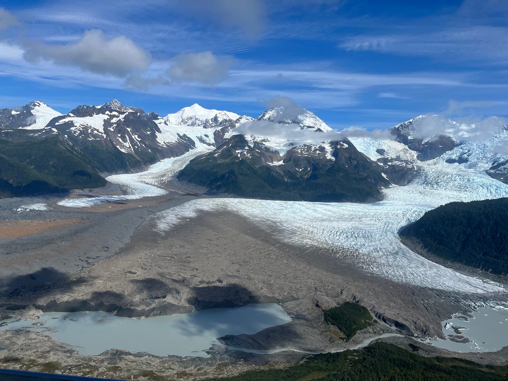
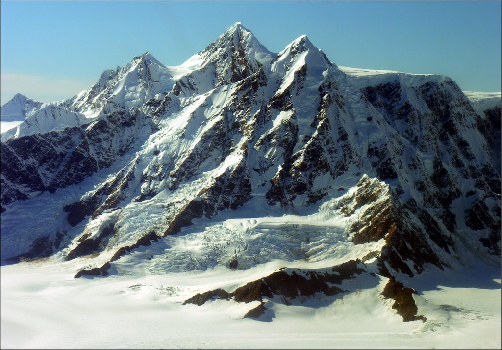
La Perouse Glacier is the park’s wild outer‑coast showpiece—a rare tidewater glacier that flows straight into the Gulf of Alaska. Picture a three‑mile‑wide, near‑vertical ice face rising 200–300 feet above surf, periodically thundering into the Pacific. It’s spectacular, raw, and utterly undeveloped.
This is prime bear country—both black and brown bears use the area. Birdlife is active (reports even note hummingbirds). Offshore marine life is possible, but this coast is remote and sightings are less documented.
This isn’t on cruise itineraries or standard tours. Reaching it typically means chartering a flight or boat and then true backcountry travel. There are no roads, trails, or services—just ocean, ice, weather, and your preparation. Plan for solitude and self‑reliance.
The calving face is dangerous—keep a very wide berth from land or sea. Weather is fickle, surf can be rough, and the terrain is unforgiving. Bears are common; rigorous food storage and camp hygiene are non‑negotiable. There are no facilities of any kind.
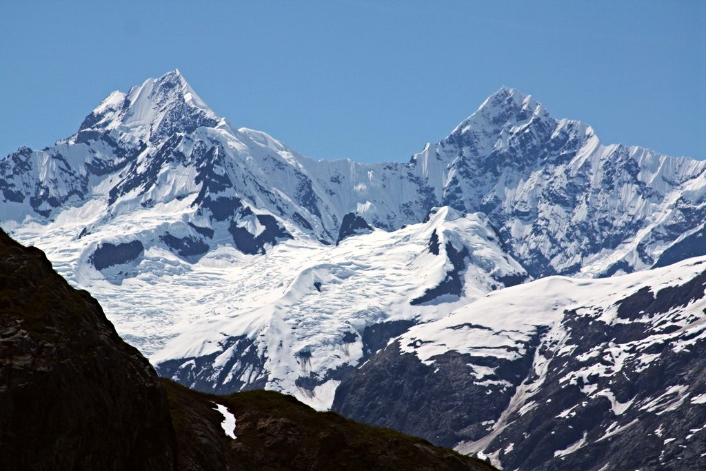
The glacier drops south from Mount Crillon to the Pacific, bulldozing beaches and forests as it goes—hence those sand ridges and the ghost forest. It was named in 1874 for the French navigator Jean‑François de La Pérouse, who explored this coast in 1786. Its direct connection to the open ocean and dynamic movement have long fascinated scientists.
There are no hours or crowds here—just the window when ocean and weather allow you to get in and out safely. Build generous buffer days into any plan. If conditions line up, you’ll have the place to yourself.
Place · 5.4 mi away
Place · 8.6 mi away
Place · 13.6 mi away
Place · 14.2 mi away
Easy · 48.7 mi away
Easy
Easy
Moderate

Parkwolf Tour Guide
