Place · 11.5 mi away

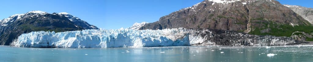
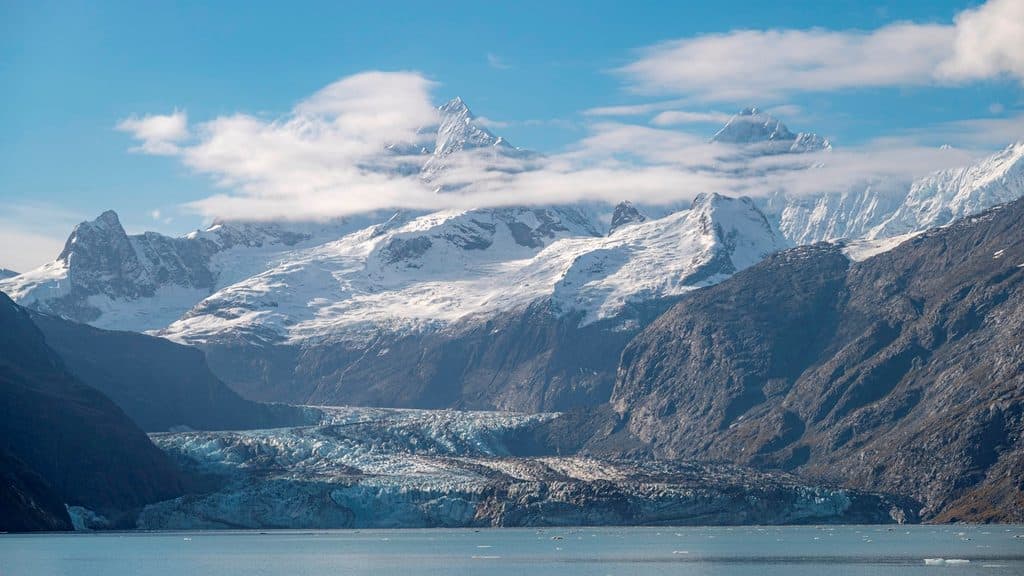
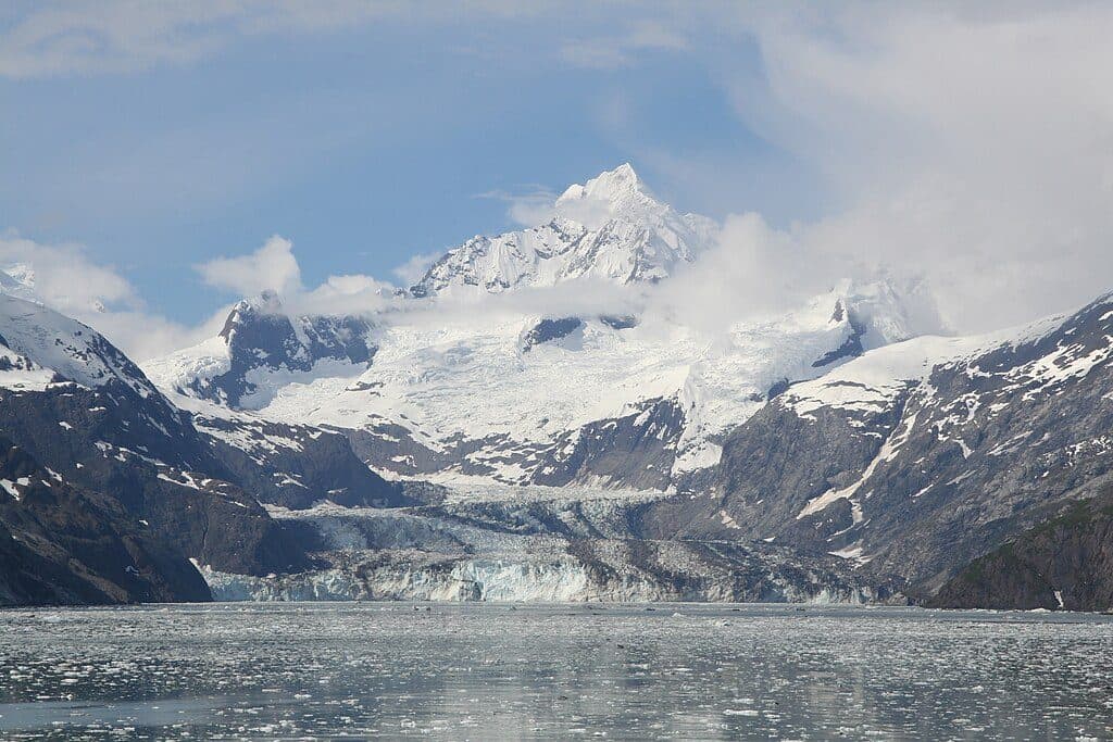
Lituya Bay is a dramatic, almost landlocked fjord on the park’s outer coast—think steep walls, a deep glacial basin, and a tight, hazardous entrance only seasoned mariners should even consider. Cenotaph Island anchors the middle of the bay, while multiple glaciers—including Lituya Glacier—feed the landscape at its head. Most people who “visit” do it by air for the sweeping views, and that’s the smart call here.
On July 9, 1958, an earthquake-triggered landslide at the head of the bay produced the largest recorded wave runup on Earth—about 1,720 feet—stripping trees and reshaping shorelines in an instant. You can still read that story on the slopes as a stark trimline between older forest and younger growth.
The surrounding coast and forests support brown bears, wolves, and bald eagles. Productive waters and streams draw salmon, while whales, harbor seals, and marine birds move along this outer-coast corridor during migrations. Bring binoculars and keep your distance—this is true wilderness.
This place is remote, exposed, and unforgiving. The entrance is narrow and notoriously tricky, with strong tidal currents and ocean swell—absolutely not for casual boating. There are no facilities, no easy landings, and no backups if something goes sideways. Scenic flights are the low-stress way to appreciate the bay’s geology and scale.
There are no crowds or operating hours here—your window is whenever weather and conditions line up. Aim for clear-weather flightseeing days for the best views and photos. Mariners should time any approach for the most favorable sea state and currents; otherwise, admire it from the air.