
Place · 9.9 mi away
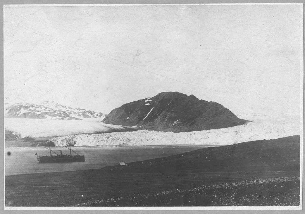
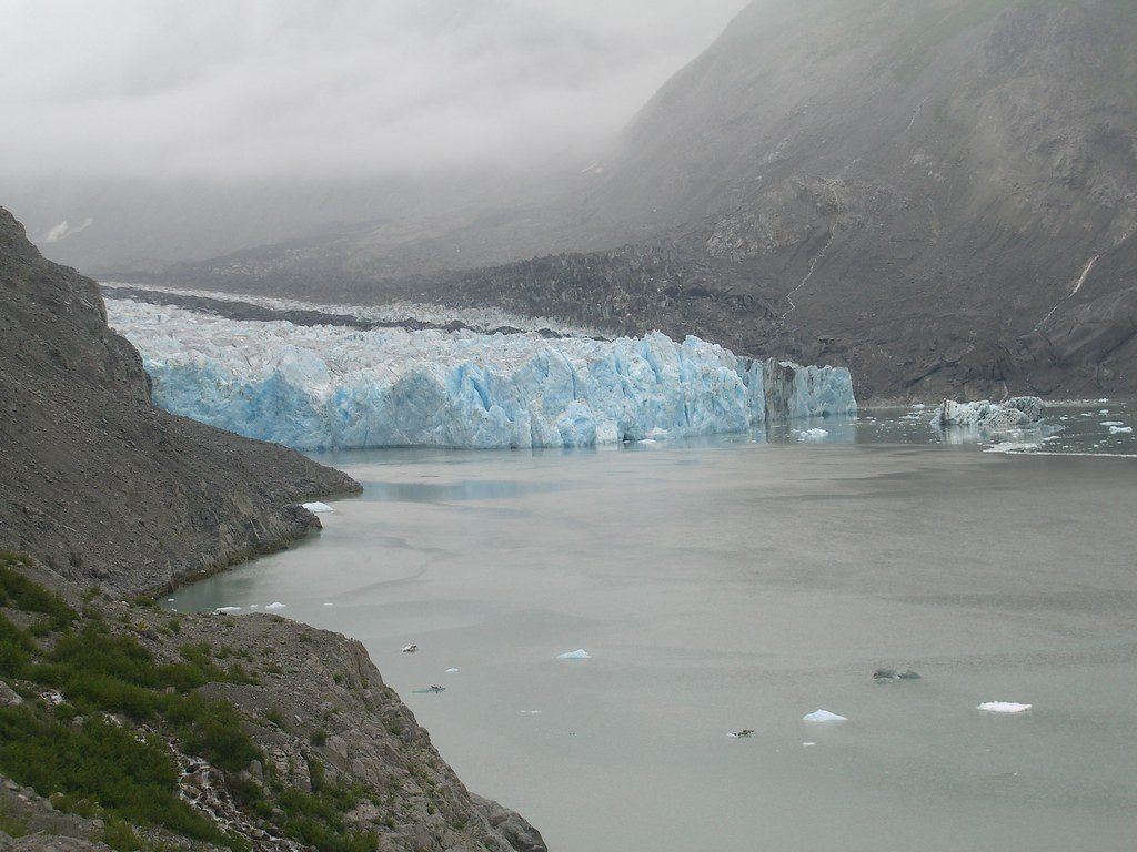
Muir Glacier is a valley glacier at the head of Muir Inlet, long central to the park’s story but transformed by rapid retreat. Once a tidewater giant that calved icebergs into the bay, it’s now land‑terminating—an eye‑opening case study in how quickly Glacier Bay’s landscape changes.
Muir’s dimensions are modest today (roughly 11–13 miles long, about 0.7 km wide at the terminus), but the setting remains powerful: stark new bedrock, moraines, and freshly revealed terrain framing a glacier that’s pulled back from the water.
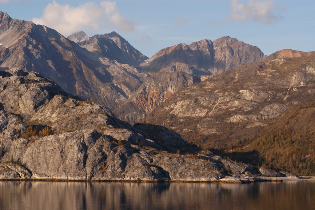
Expect a receded, land‑based ice front rather than a towering, calving wall. You’ll travel up a long, quiet fjord with big mountain backdrops (including Mount Harris) and wide sightlines to the ice. The foreground is all about geology—scoured rock, outwash, and a landscape still settling into its new shape.
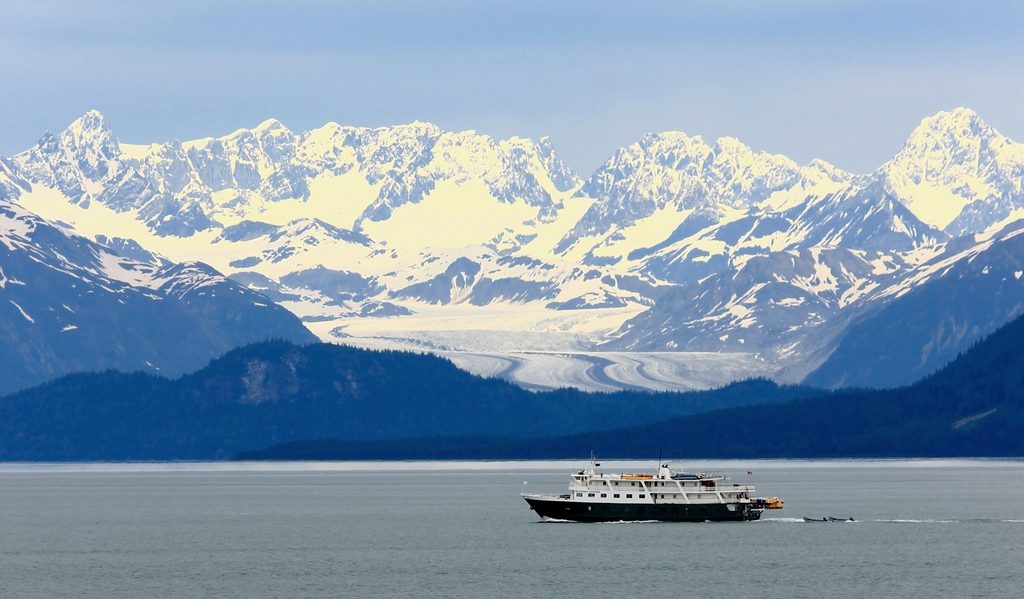
There are no roads or developed sites here. Visits happen by water—charter, private boat, or expedition kayak—and far fewer tour boats come up Muir Inlet than in decades past. There are no restrooms, parking, stores, or other services; come fully self‑sufficient. Bring layers for cold, potentially wet marine weather, and bring binoculars or a zoom lens to appreciate details from typical viewing distances. Check with the park on current access details and any guidance for the inlet.
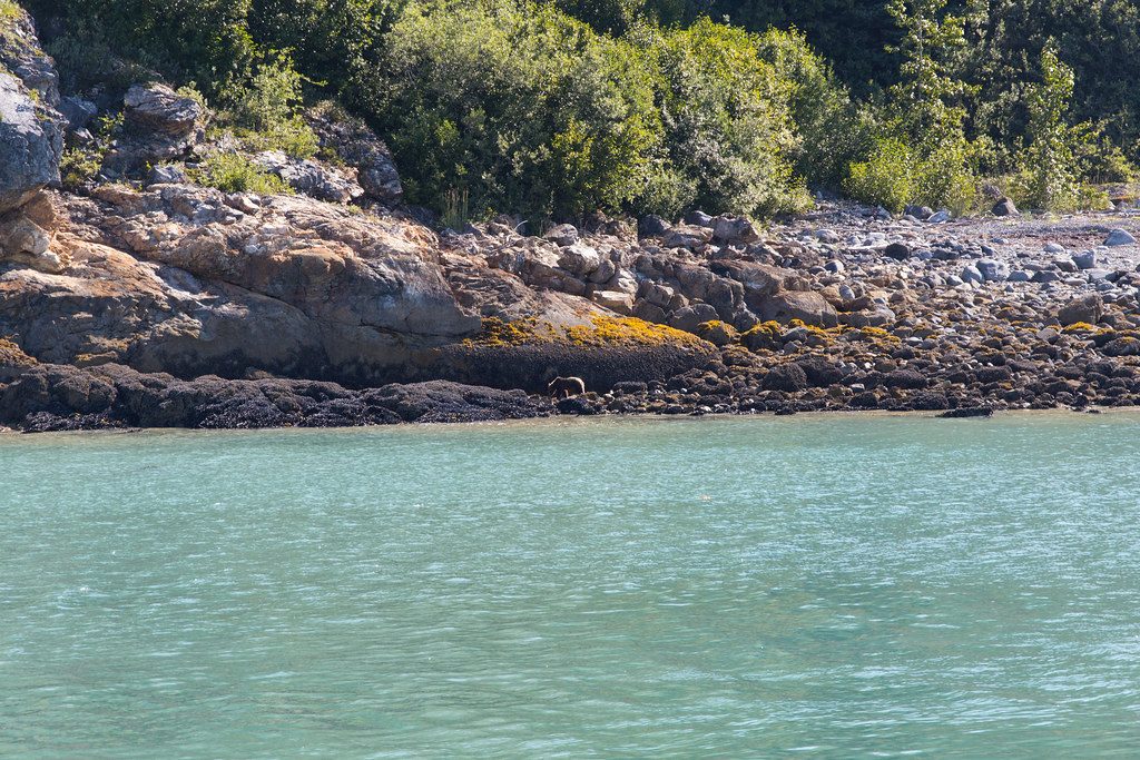
Muir Glacier itself isn’t the wildlife magnet it once was, but the broader area can offer seabirds and eagles overhead, marine mammals elsewhere along the bay, and terrestrial wildlife in the surrounding mountains. Think of this stop primarily for its scenery and geology, with wildlife as an occasional bonus.
Most boats now favor more active tidewater glaciers elsewhere in the bay. Muir is the quieter, more reflective alternative—less spectacle, more context—rewarding those interested in glaciology and the park’s natural history.
There are no set hours; timing hinges on your boat or kayak plan and weather. With few tour boats venturing up Muir Inlet, crowds are rarely an issue. Aim for a clear-weather window for the broadest views across the inlet to the ice.
Place · 9.9 mi away
Place · 13.3 mi away
Place · 17 mi away
Place · 18.7 mi away
Easy · 48.3 mi away
Easy
Easy
Moderate

Parkwolf Tour Guide
