Queen Inlet in Glacier Bay National Park

Sight · Glacier Bay National Park

Queen Inlet

Quiet fjord with Carroll Glacier views and true wilderness vibes

Photo: Flickr

Overview

About Queen Inlet

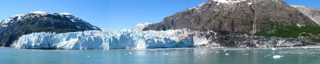
Queen Inlet is a narrow side fjord on the east shore of the bay, just north of Composite Island. It’s quiet, wild, and very much off the standard cruise route. The inlet was carved by ice and, until relatively recently in geologic time, was completely filled by glacier ice. It’s named after the steamship Queen, which brought some of Glacier Bay’s earliest visitors in the late 1800s.

Why stop

  • Secluded fjord with classic glacier-carved scenery
  • Potential views of nearby Carroll Glacier

Heads up

  • No facilities or services of any kind
  • Access by watercraft only; tides and weather change quickly
If you value solitude and raw fjord scenery over amenities, Queen Inlet delivers. It’s not a guaranteed glacier-front spectacle, but the hush, scale, and wildlife potential make it a rewarding detour for self-sufficient boaters and paddlers.
Parkwolf’s verdictIs It Worth It?

Map

Where it is

Loading the Glacier Bay map
Full map
SightQueen Inlet58.93359, -136.55290
Keep this map with you offline in the Parkwolf app

Local know-how

Tips for visiting Queen Inlet

  1. Enter only when tides and weather align; have a conservative exit plan.

  2. Bring all food, water treatment, and a human-waste solution; pack everything out.

  3. Carry binoculars and a zoom lens for distant wildlife and glacier views.

  4. Expect rain and fog; dress in layers and keep gear dry and secure.

  5. Download the official park waters map for offline use before launching.

Plan your stop

Before you go

Best time to visit

There are no set hours or crowd patterns here—the inlet sees light traffic compared to the major arms of the bay. Aim for stable weather and good visibility; early and late in the day can bring calmer water and softer light, but always plan around tides and forecasts.

Getting There & Logistics

There are no roads; you reach Queen Inlet by boat or kayak. There are no developed amenities—no restrooms, no campgrounds, no tables, no potable water—so you must be fully self-sufficient and pack out all waste. Navigation is straightforward on a clear day but fog and rain can roll in fast, and tidal currents and glacial runoff can make conditions changeable. Carry reliable charts/GPS and be conservative with weather windows.

A park ranger sits on a dash-mounted phone, talking, as Parkwolf’s Tour Guide plays “Army Cutworm Moths: A Grizzly Bear Buffet” on Grand Loop Road below Dunraven Pass in Yellowstone
Parkwolf Tour GuideThe highest, rockiest slopes around here are a summer buffet for grizzly bears.

Glacier Bay Tour Guide

Your drive to Queen Inlet, narrated.

Parkwolf is a GPS audio tour guide for Glacier Bay National Park. As you drive, it chimes in with what’s ahead: hidden gems, upcoming stops, history, geology, and wildlife, right through your car’s speakers.

  • 37 audio storiesacross Glacier Bay’s roads, triggered by GPS as you drive
  • Wildlife heatmapsfor Humpback Whale, Orca, Brown Bear, and 13 more
  • Works offlinemaps, 3 trails, 45 places, and audio download before you lose signal
  • CarPlay readysimple controls built for the drive
★★★★★
“Fantastic app with many points of information… It’s great to just turn on while you’re driving and it gives you an audio tour of the national Park. We love it!!!!”
JMJamesApp Store review
Download Parkwolf on the App StoreGet Parkwolf on Google Play

4.7 from 8,600+ ratings

Guide

More about Queen Inlet

What You’ll SeeExpect steep, glacially sculpted walls and a classic fjord feel.

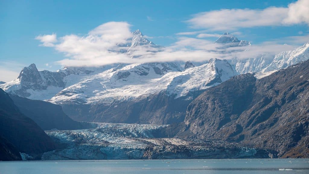
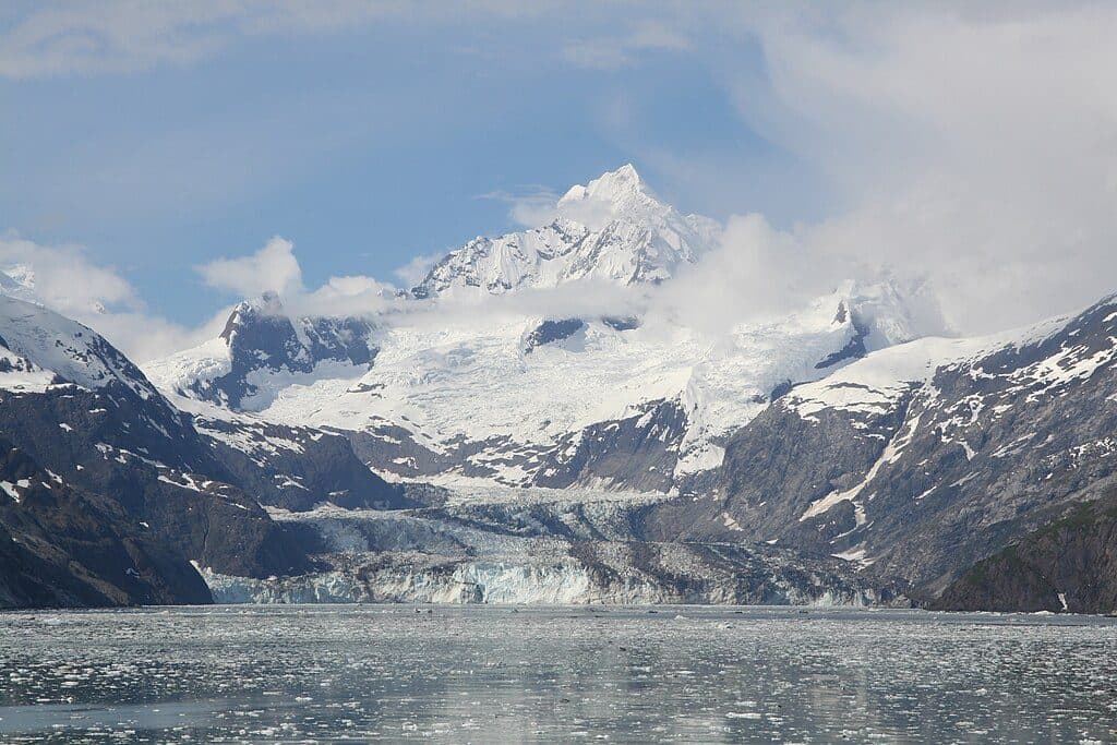
Expect steep, glacially sculpted walls and a classic fjord feel. From within the inlet you can get views toward Carroll Glacier, one of the prominent glaciers in this part of the bay. Depending on conditions, you may encounter floating ice, silty water from glacial runoff, and moody light that makes for dramatic photos.

WildlifeLike much of the bay, the waters and shores here can host marine mammals such as harbor seals…

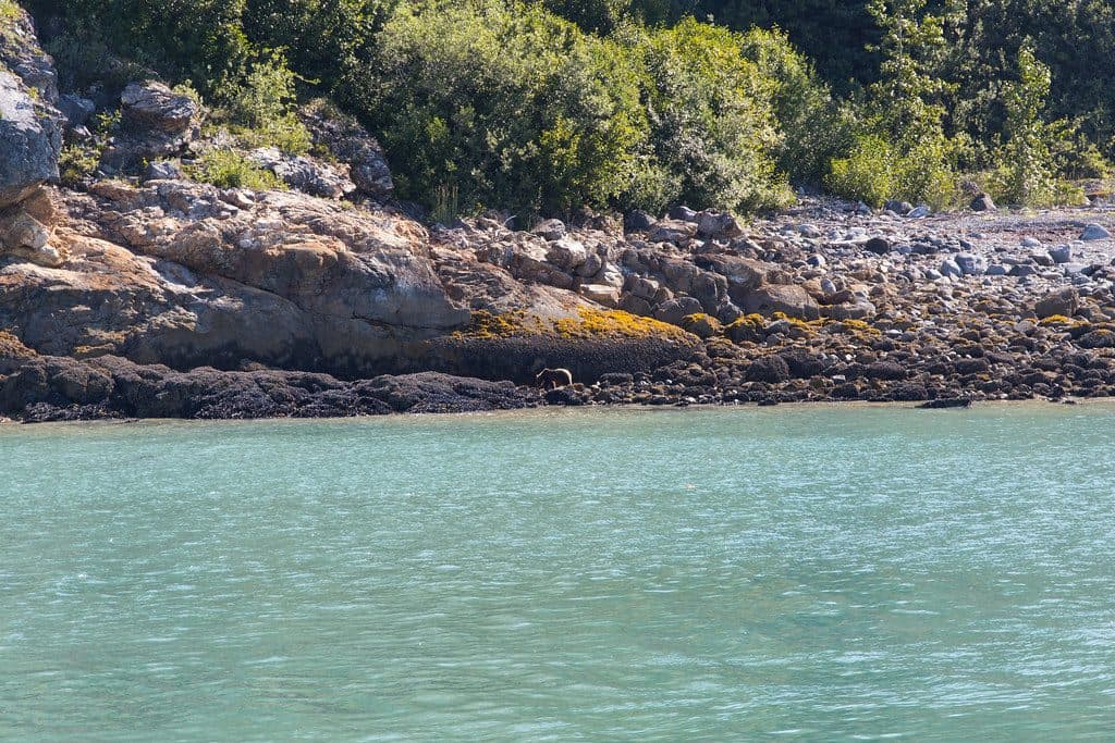
Like much of the bay, the waters and shores here can host marine mammals such as harbor seals and sea otters, with the chance for passing whales. Bald eagles and other seabirds patrol the shoreline, and it’s possible to glimpse bears or mountain goats along remote beaches and cliffs. Bring binoculars—most wildlife is spotted at a distance.

Regulations to KnowGlacier Bay’s marine waters have area-specific boating rules (speed limits, seasonal notes, and…

Glacier Bay’s marine waters have area-specific boating rules (speed limits, seasonal notes, and access considerations) that apply within inlets like Queen. Review the park’s official boating guidance and use the park’s downloadable map for on-water navigation before heading in.

History & GeologyThis fjord showcases the bay’s rapid deglaciation story: ice once filled Queen Inlet end-to-end…

This fjord showcases the bay’s rapid deglaciation story: ice once filled Queen Inlet end-to-end before a dramatic retreat over the last two centuries. The silt-rich waters you may see are the direct fingerprint of active glaciers in the watershed, including Carroll Glacier.

Wildlife

Wildlife in Glacier Bay

All Glacier Bay wildlife maps

Sighting maps show where each species has been reported across Glacier Bay. Wildlife moves, so no sighting is guaranteed.

Parkwolf’s Glacier Bay ranking

Top sights in Glacier Bay

All 45 places
  1. 1Margerie GlacierSight
  2. 2Tarr InletSight
  3. 3Johns Hopkins Glacier ViewpointSight
  4. 4Johns Hopkins InletSight
  5. 5Johns Hopkins GlacierSight
  6. 6Bartlett CoveSight

Take Parkwolf to Glacier Bay.

The audio tour guide for the drive, plus offline maps, trails, and wildlife heatmaps for when the signal drops.

4.7 from 8,600+ ratings

Download Parkwolf on the App StoreGet Parkwolf on Google Play