Parking
Start at the shared Bartlett River and Bartlett Lake trailhead on Park Road. Starting at Glacier Bay Lodge adds a road walk of roughly 0.5 to 0.7 mile each way; published directions differ.
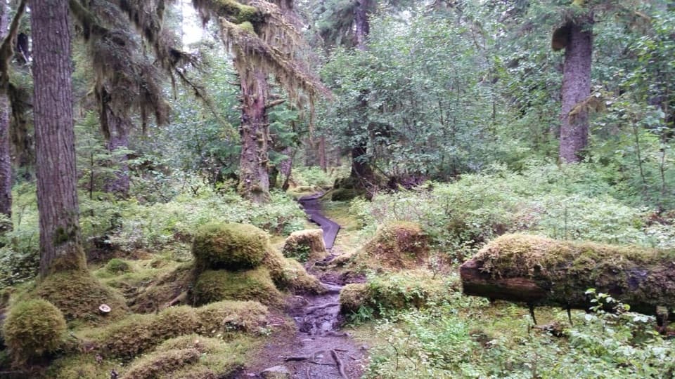
#3 of 7 trails in Glacier Bay
Glacier Bay National Park, AK
A wet forest path opens onto an estuary where salmon draw wildlife.
Photo: Pi3.124, CC BY-SA 4.0, via Wikimedia Commons
Overview
Map & elevation
Plan your hike

The highest, rockiest slopes around here are a summer buffet for grizzly bears.
Glacier Bay Tour Guide
Parkwolf is a GPS audio tour guide for Glacier Bay National Park. As you drive, it chimes in with what’s ahead: hidden gems, upcoming stops, history, geology, and wildlife, right through your car’s speakers.
Recorded for this trailhead
Bartlett River and Lake Trailhead“Up ahead is the Bartlett River and Lake trailhead. I'd choose the river walk for rainforest opening onto an estuary, where late-summer salmon can draw harbor seals.”
Plays as you drive up to this trailhead in the Parkwolf Glacier Bay Tour Guide.
More stories near here in the app
“Fantastic app with many points of information… It’s great to just turn on while you’re driving and it gives you an audio tour of the national Park. We love it!!!!”


Trail guide
The Bartlett River Trail is a signed out-and-back from the shared Bartlett River and Bartlett Lake trailhead on Park Road to the Bartlett River estuary. It passes an intertidal lagoon and dense spruce-hemlock forest. The maintained line mapped from the trailhead to the estuary is about 1.06 miles one way, or roughly 2.1 miles there and back. Published figures disagree: the current park hiking text says 4 miles round trip, while the park map marks about a mile along the route. This entry follows the mapped maintained path and leaves the separate upriver extension out. Check the trail map at Bartlett Cove if you intend to follow a longer outing. The published time is 4 to 5 hours. The payoff is a wet rainforest walk that opens onto an estuary, not a summit or broad mountain view.
The route begins at the same trailhead as the Bartlett Lake Trail. At the signed fork, take the Bartlett River direction. Park descriptions disagree about whether the lake branch is roughly a quarter-mile or three-quarters of a mile from the start, so use the sign rather than counting on a particular distance. The maintained path ends at the estuary. Some hikers continue farther up the river, but that is beyond the route mapped here.
The route winds through dense spruce and hemlock, with the lagoon and its intertidal edge near the start. This is a damp coastal forest walk, and the park warns that wet trails can be slick. Expect to watch your footing over roots, logs and rocks, and on wooden walkways. The elevation profile is low, with no sustained climb, but the surface makes this slower going than a dry, smooth path.
The maintained trail emerges at the Bartlett River estuary near the river mouth. This is the route's natural stopping point, rather than a developed overlook. In late summer, salmon moving up the river attract harbor seals; otters, eagles and bears may also be around. Ducks, geese and other waterbirds gather in the intertidal area during migration and molting. These are possibilities, not promised sightings. For a photo, include the water's edge and a channel of the river so the frame shows where forest gives way to tidewater; keep well back from wildlife.
Begin at the shared River and Lake trailhead on Park Road. Starting from Glacier Bay Lodge adds a road walk; published directions put it at about half to three-quarters of a mile each way. Allow the full 4 to 5 hours listed in the park's hiking information, especially if you plan to spend time at the estuary. There is no day-hike permit listed, though overnight backcountry camping and kayaking have separate permit rules. Pets are not allowed on park trails. The trail's wet, uneven footing is the main practical drawback, so shoes with good traction matter here.
Wildlife
 98 sightingsHumpback WhaleMost seen around 6 AMSighting map
 48 sightingsOrcaMost seen around 5 PMSighting map
 111 sightingsBrown BearMost seen around 7 PMSighting map
 313 sightingsSea OtterMost seen around 4 PMSighting map
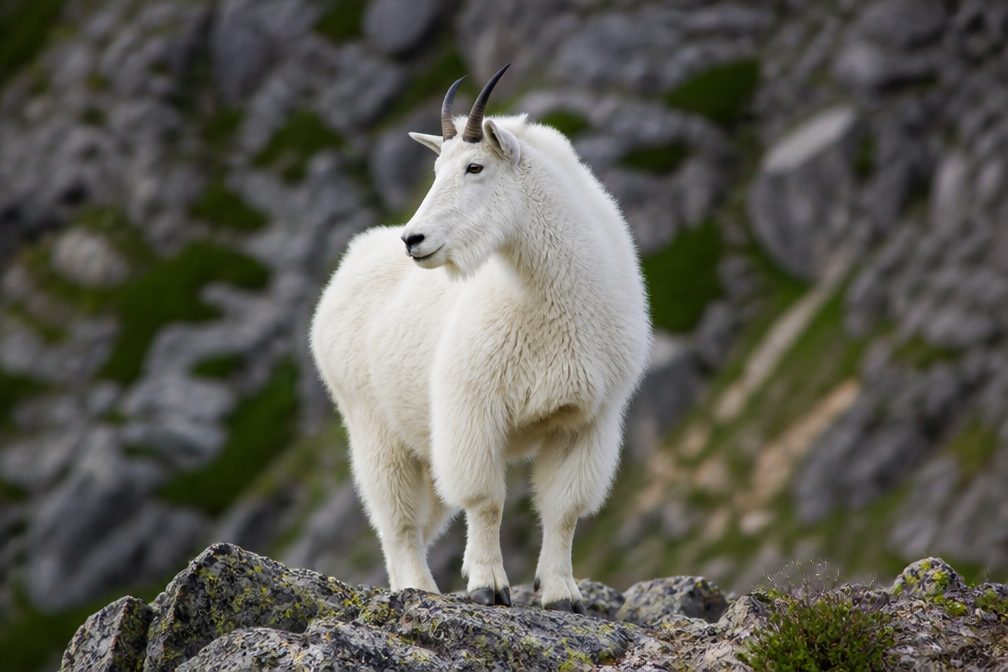 106 sightingsMountain GoatMost seen around 6 PMSighting map
 93 sightingsBald EagleMost seen around 5 PMSighting map
Sighting maps show where each species has been reported across Glacier Bay. Wildlife moves, so no sighting is guaranteed.
Keep exploring
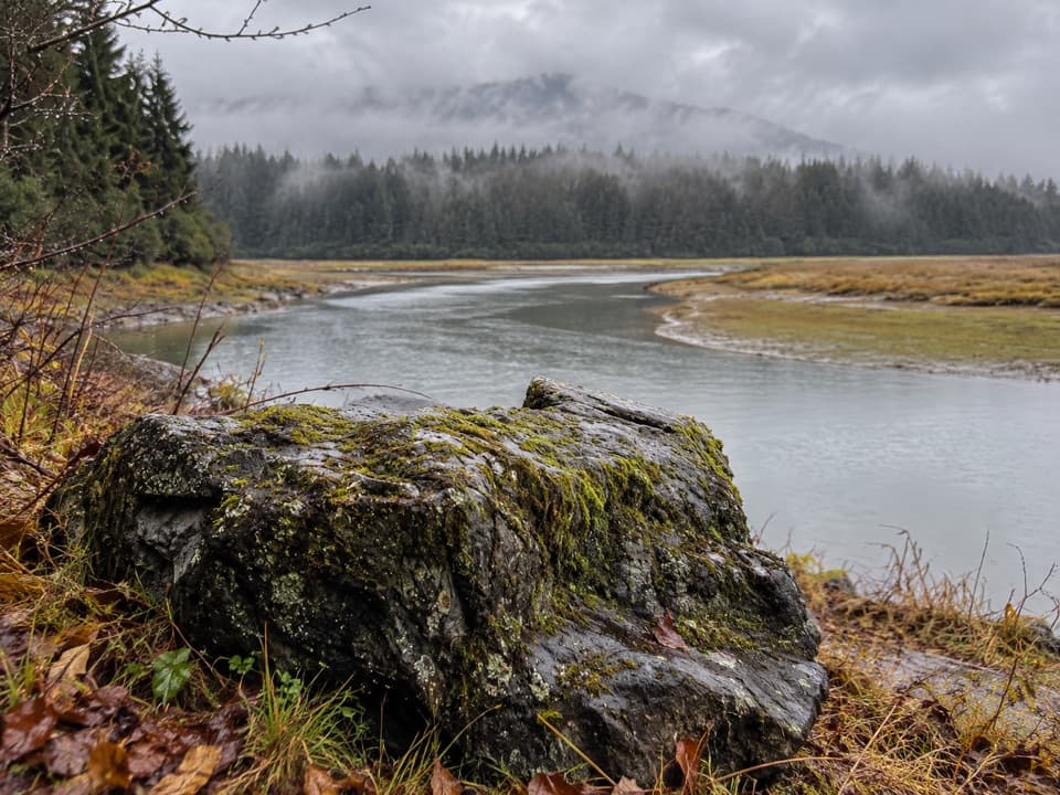 ChallengingBartlett Lake Trail10 mi · 7.5 hr · 0.6 mi awayA full-day moraine hike ends at a lake where loons may call.
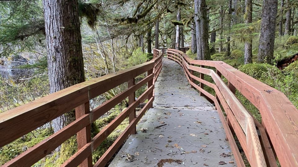 EasyForest Trail1.1 mi · 45 min · 1 mi awayA mossy pond boardwalk makes this easy loop worth slowing down for.
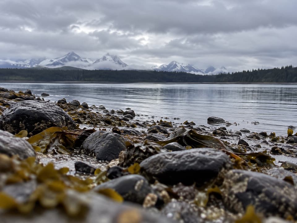 ChallengingPoint Gustavus Shore Hike12.5 mi · 8 hr · 1.1 mi awayRocky beach to a sandy point; plan for a falling tide.
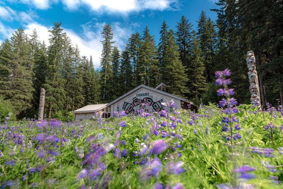 EasyTlingit Trail1 mi · 45 min · 1.1 mi awayA shoreline stroll ends at the Huna Ancestors’ House.
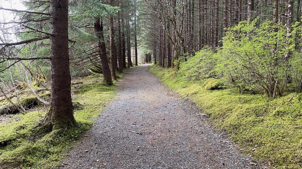 EasyBeach Trail0.3 mi · 10 min · 1.1 mi awayA wooded quarter-mile link between the dock and campground.
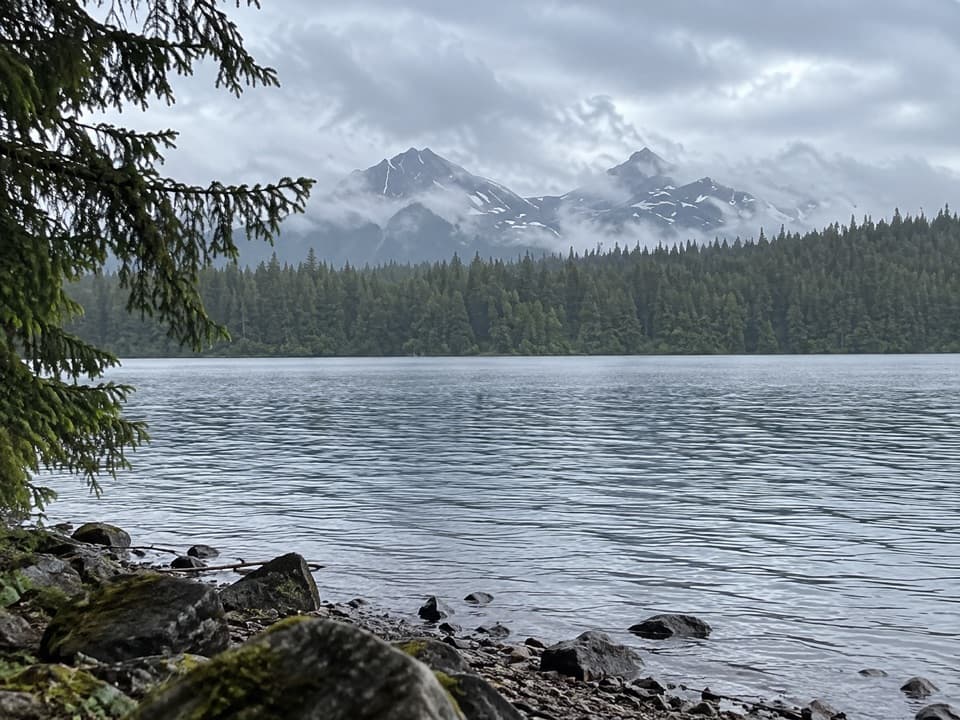 ModerateBartlett Lake/Towers Trail6 mi · 2.8 hr · 3 mi awayWalk an old tower roadbed to Bartlett Lake without a big climb.Sight · 0.9 mi awayXunaa Shuká Hít (Huna Tribal House)A Huna Lingít clan house stands again on ancestral homeland.
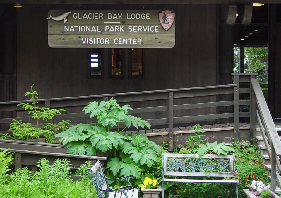 Visitor center · 1 mi awayGlacier Bay National Park Visitor CenterGet the bay's natural and cultural story before heading out.
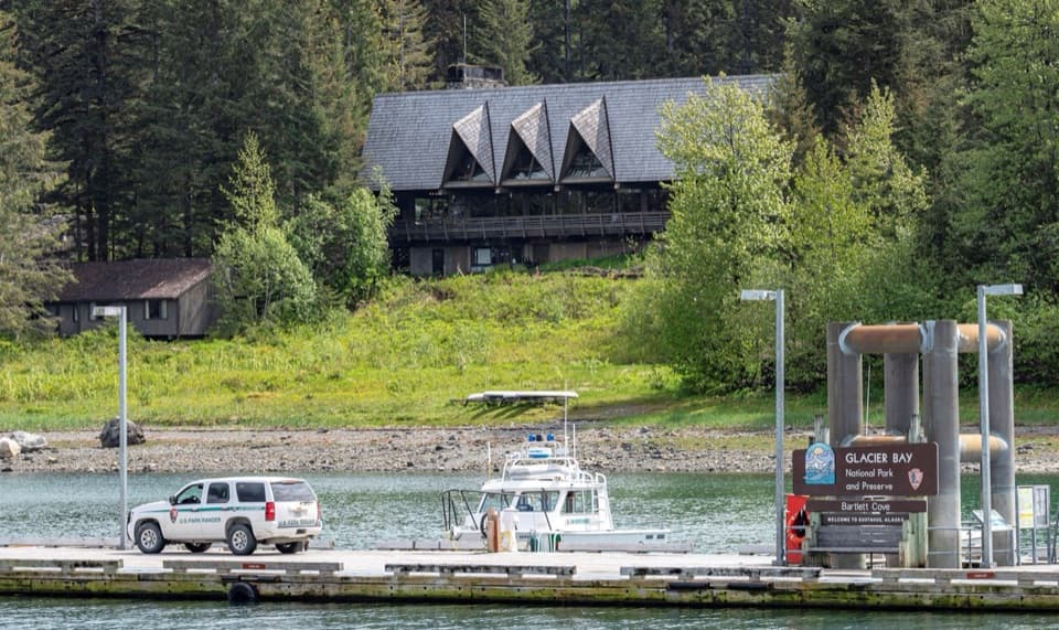 Lodging · 1 mi awayGlacier Bay LodgeThe only in-park hotel, tucked among Bartlett Cove's trees.
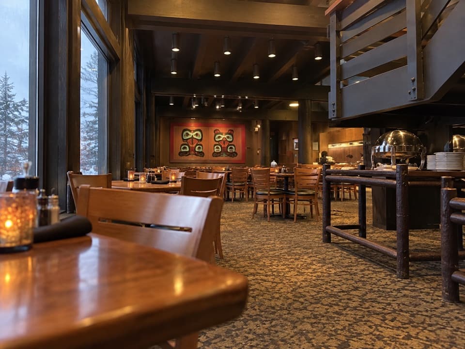 Restaurant · 1 mi awayFairweather Dining RoomA remote Bartlett Cove meal with Alaskan seafood
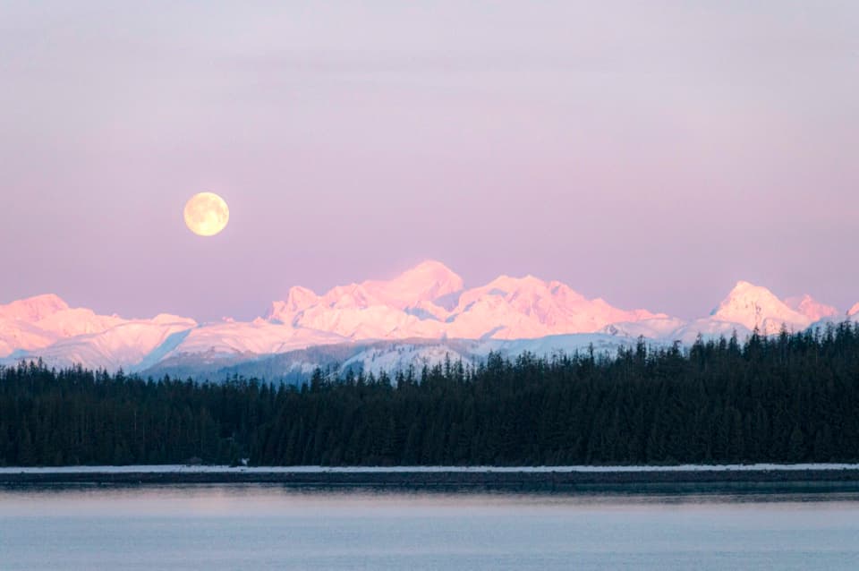 Sight · 1 mi awayMount FairweatherOn clear days, a 15,300-foot summit looms over Bartlett Cove.
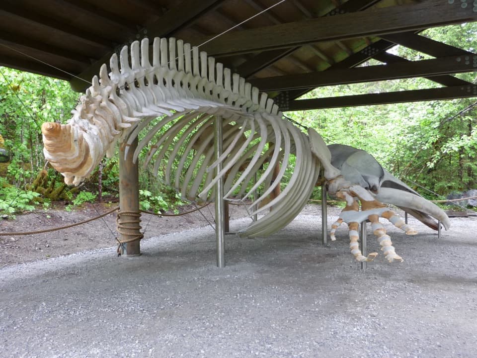 Sight · 1 mi awaySnow the Whale SkeletonA 45-foot whale skeleton, with a sobering story behind it.
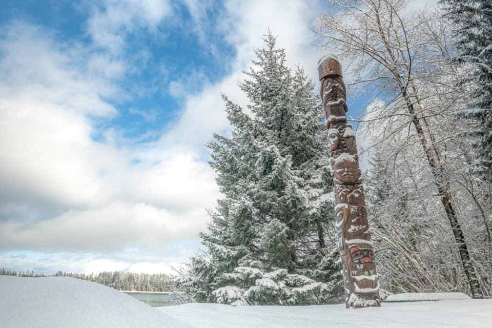 Sight · 1.1 mi awayHealing Totem PoleA 20-foot cedar story along the walk to Huna Tribal House.
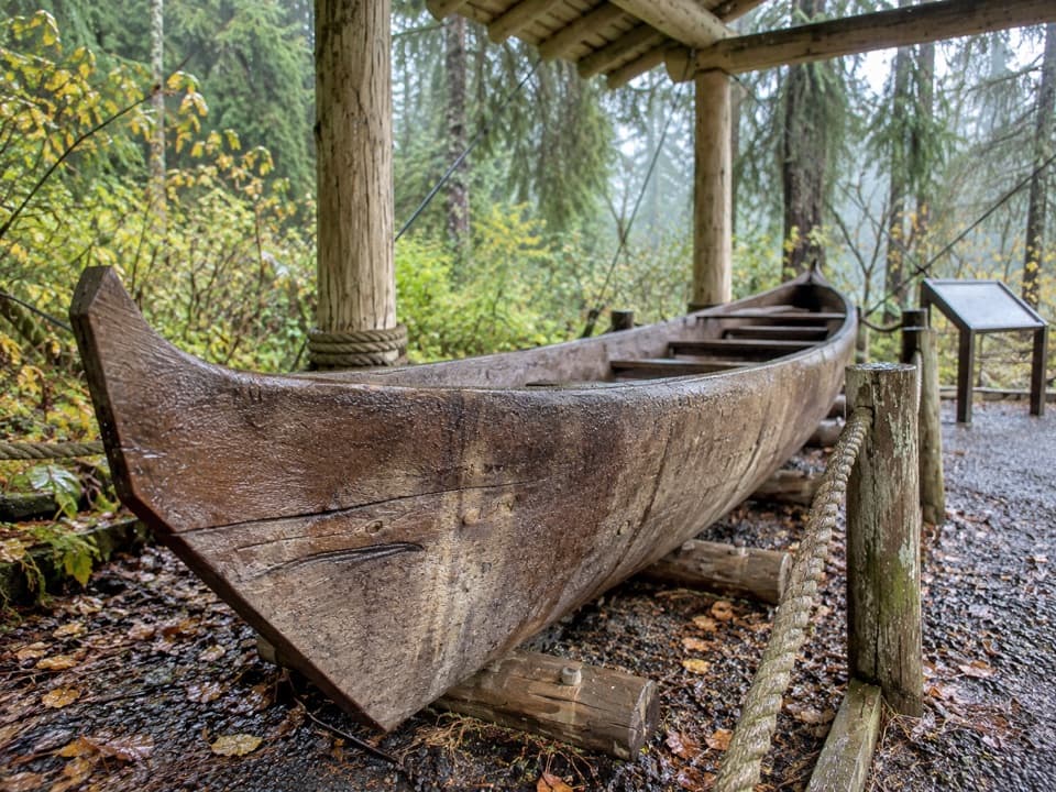 Sight · 1.1 mi awaySea Otter Canoe, Yáxwch'i YaakwA 22-foot Huna Tlingit dugout anchors Bartlett Cove's cultural walk.
Parkwolf’s Glacier Bay ranking

The audio tour guide for the drive, plus offline maps, trails, and wildlife heatmaps for when the signal drops.