Parking
Begin at the large parking area near the Bartlett Cove boat launch and public dock; the trail ends at the campground.
#6 of 7 trails in Glacier Bay
Glacier Bay National Park, AK
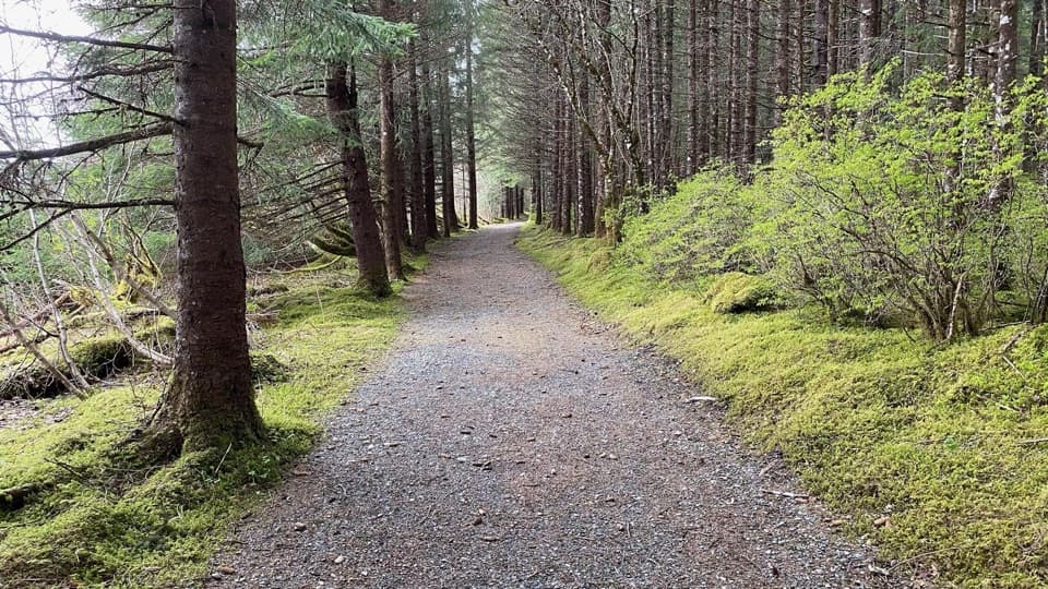
A wooded quarter-mile link between the dock and campground.
Photo: NPS Photo
Overview
Map & elevation
Plan your hike

The highest, rockiest slopes around here are a summer buffet for grizzly bears.
Glacier Bay Tour Guide
Parkwolf is a GPS audio tour guide for Glacier Bay National Park. As you drive, it chimes in with what’s ahead: hidden gems, upcoming stops, history, geology, and wildlife, right through your car’s speakers.
Recorded for this trailhead
Bartlett Cove Dock and Shoreline“You're nearing Bartlett Cove's public dock and Visitor Information Station. If you're camping or taking a private boat into the bay, stop at the station first for the required orientation.”
Plays as you drive up to this trailhead in the Parkwolf Glacier Bay Tour Guide.
More stories near here in the app
“Fantastic app with many points of information… It’s great to just turn on while you’re driving and it gives you an audio tour of the national Park. We love it!!!!”


Trail guide
Beach Trail is an easy, roughly quarter-mile point-to-point walk from the Bartlett Cove boat launch to the campground. Allow about 5 to 10 minutes one way; follow it back for a half-mile out-and-back, or join Forest Loop for a longer circuit.
The gravel path bends between tall conifers, moss, and bright green shrubs. This is a short, straightforward leg-stretcher through the coastal forest, rather than a long beach hike.
The maintained Beach Trail ends at the campground. You can continue off-trail along the shore, but that extension is not part of this route; Forest Loop is the marked option for a longer walk. Start from the large parking area near the boat launch and Bartlett Cove dock. Pets are not allowed on trails or beaches in Glacier Bay; service animals are allowed.
Wildlife
 98 sightingsHumpback WhaleMost seen around 6 AMSighting map
 48 sightingsOrcaMost seen around 5 PMSighting map
 111 sightingsBrown BearMost seen around 7 PMSighting map
 313 sightingsSea OtterMost seen around 4 PMSighting map
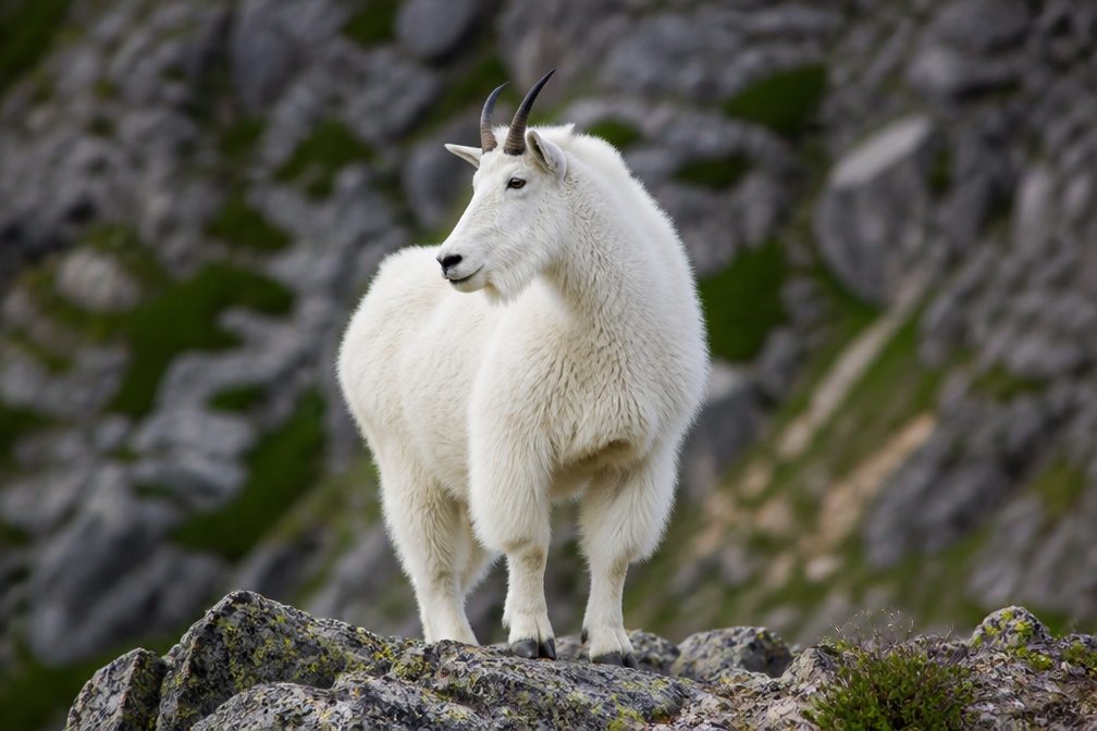 106 sightingsMountain GoatMost seen around 6 PMSighting map
 93 sightingsBald EagleMost seen around 5 PMSighting map
Sighting maps show where each species has been reported across Glacier Bay. Wildlife moves, so no sighting is guaranteed.
Keep exploring
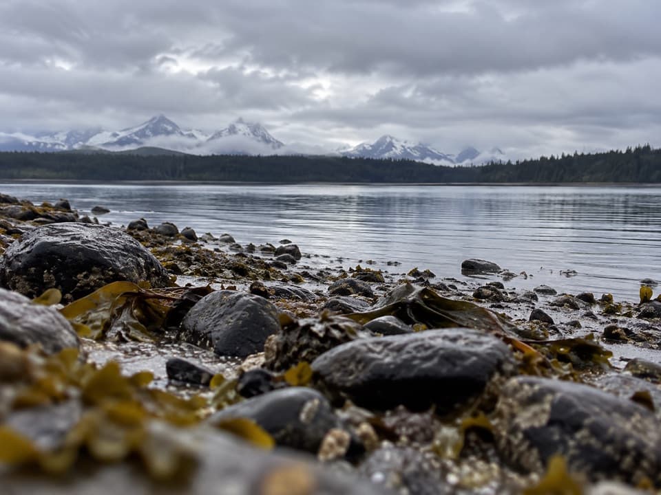 ChallengingPoint Gustavus Shore Hike12.5 mi · 8 hr · 0.1 mi awayRocky beach to a sandy point; plan for a falling tide.
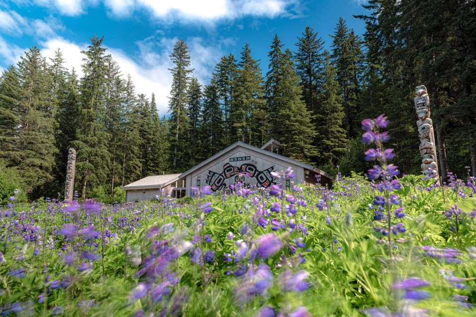 EasyTlingit Trail1 mi · 45 min · 0.1 mi awayA shoreline stroll ends at the Huna Ancestors’ House.
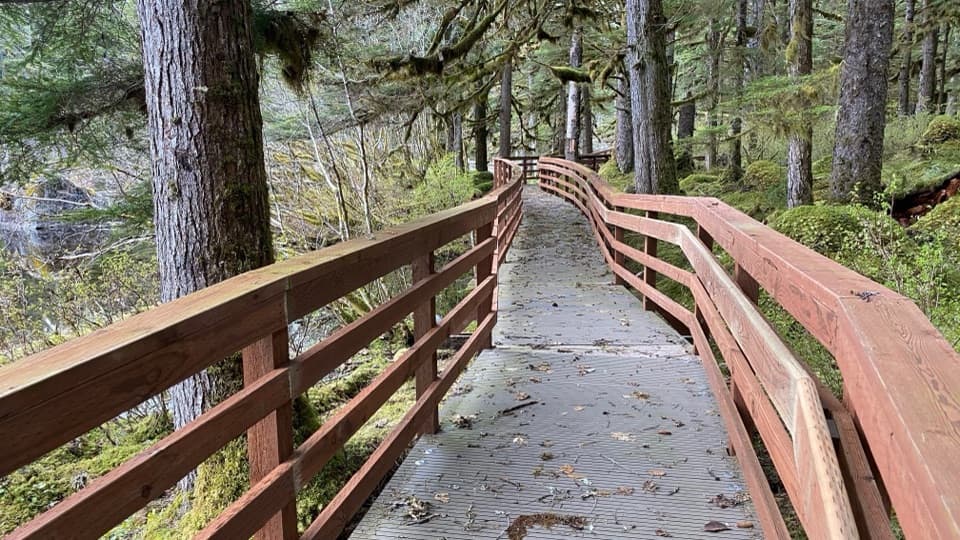 EasyForest Trail1.1 mi · 45 min · 0.2 mi awayA mossy pond boardwalk makes this easy loop worth slowing down for.
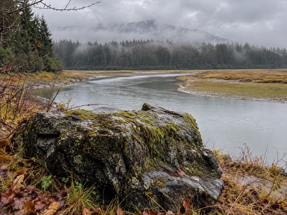 ChallengingBartlett Lake Trail10 mi · 7.5 hr · 0.7 mi awayA full-day moraine hike ends at a lake where loons may call.
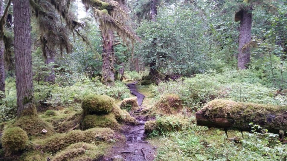 EasyBartlett River Trail2.1 mi · 4.5 hr · 1.1 mi awayA wet forest path opens onto an estuary where salmon draw wildlife.
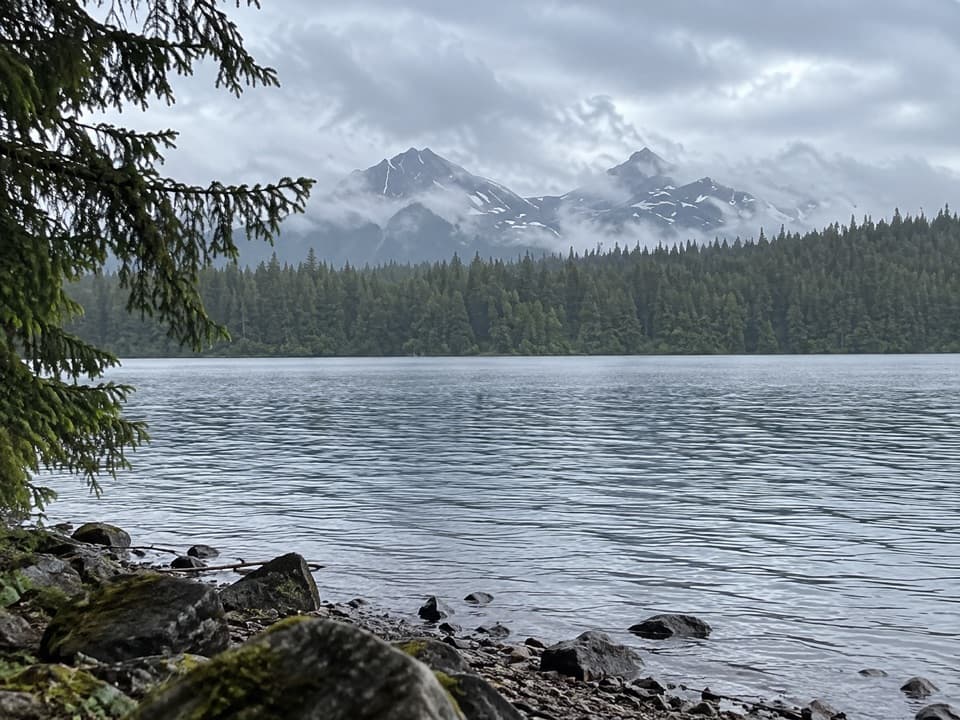 ModerateBartlett Lake/Towers Trail6 mi · 2.8 hr · 4.1 mi awayWalk an old tower roadbed to Bartlett Lake without a big climb.
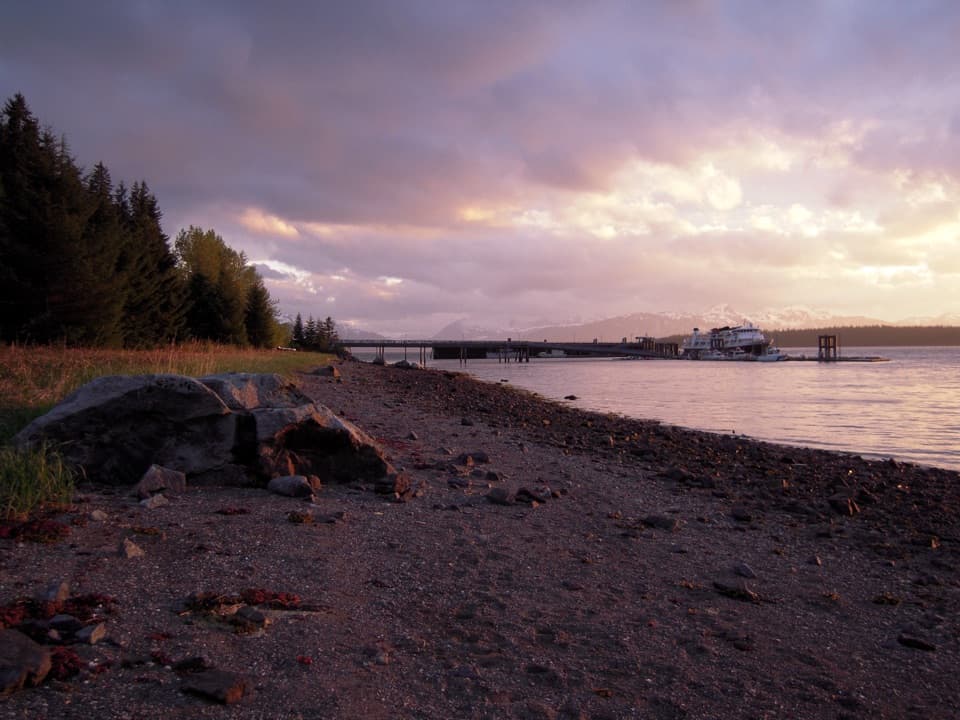 Beach · At the trailheadBartlett Cove BeachA short shoreline stop for intertidal life and glacial history.
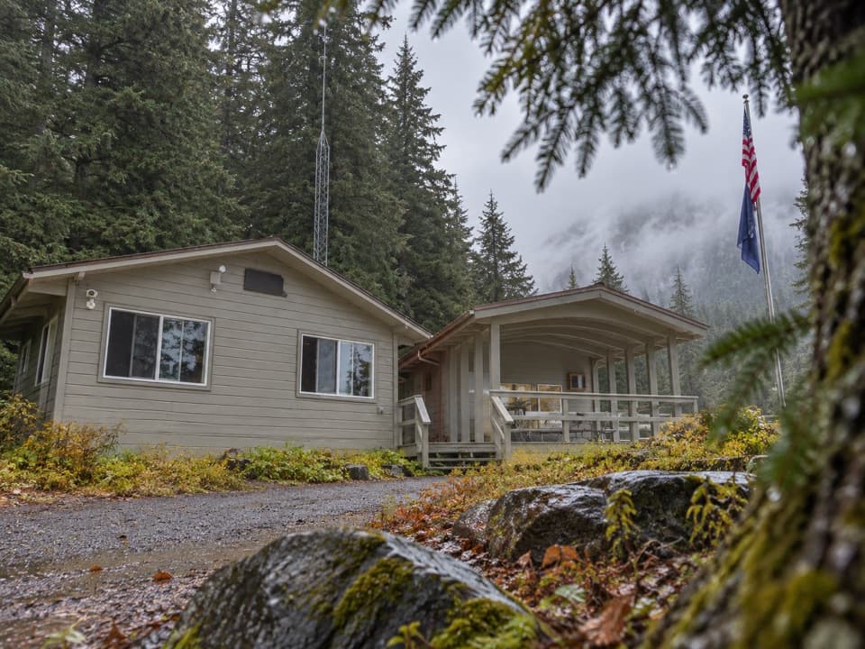 Ranger station · 0.1 mi awayGlacier Bay Visitor Information StationStart your bay trip with the required boater and camper orientation.
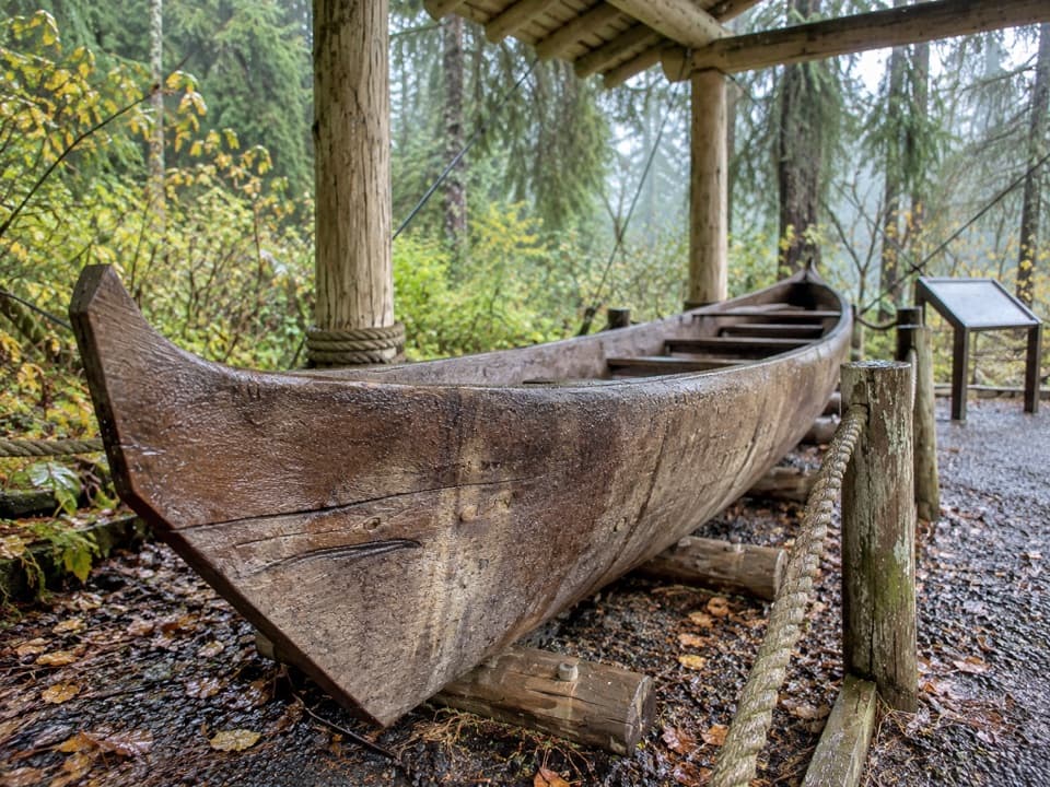 Sight · 0.1 mi awaySea Otter Canoe, Yáxwch'i YaakwA 22-foot Huna Tlingit dugout anchors Bartlett Cove's cultural walk.
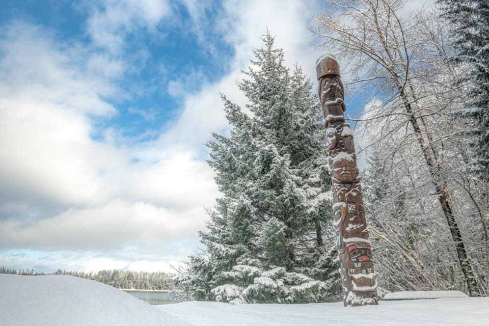 Sight · 0.1 mi awayHealing Totem PoleA 20-foot cedar story along the walk to Huna Tribal House.
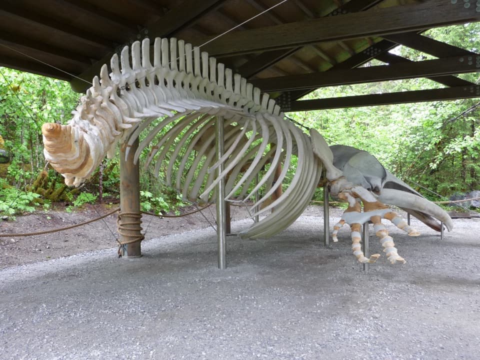 Sight · 0.1 mi awaySnow the Whale SkeletonA 45-foot whale skeleton, with a sobering story behind it.
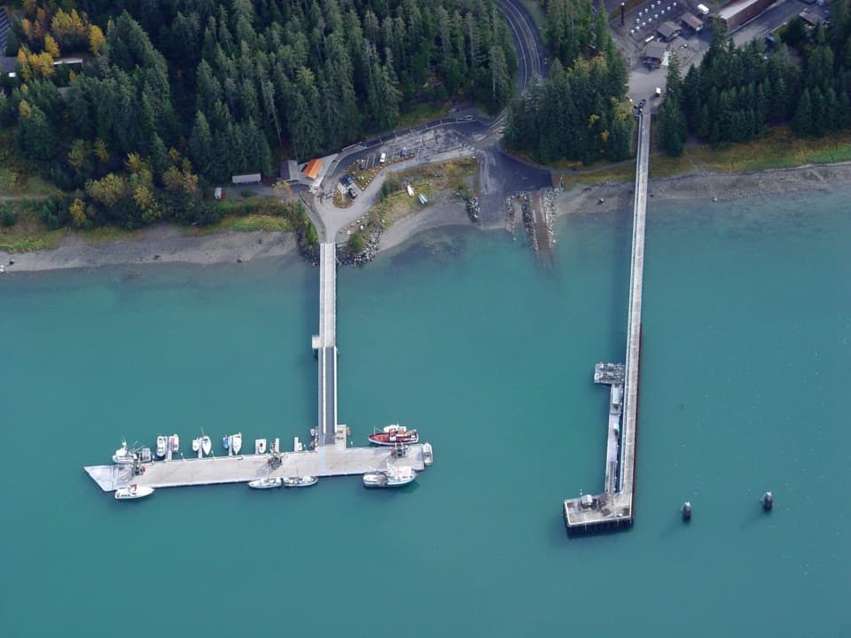 Sight · 0.1 mi awayBartlett Cove Public Use DockOtters below, mountain peaks beyond this working boat dock.
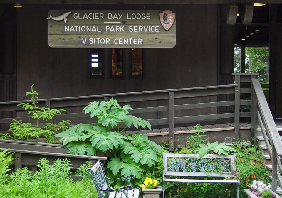 Visitor center · 0.2 mi awayGlacier Bay National Park Visitor CenterGet the bay's natural and cultural story before heading out.
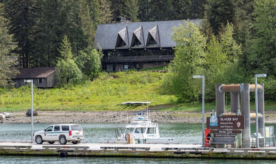 Lodging · 0.2 mi awayGlacier Bay LodgeThe only in-park hotel, tucked among Bartlett Cove's trees.
Parkwolf’s Glacier Bay ranking

The audio tour guide for the drive, plus offline maps, trails, and wildlife heatmaps for when the signal drops.