Pros & cons
PROS
- Signature skyline peak visible from Bartlett Cove on clear days
- One of North America’s most prominent coastal mountains
CONS
- Often obscured by clouds; clear views aren’t guaranteed
- No roads or amenities; typically viewed from far away
Overview
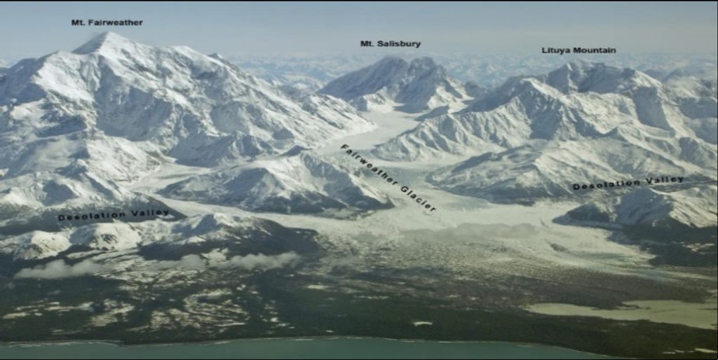
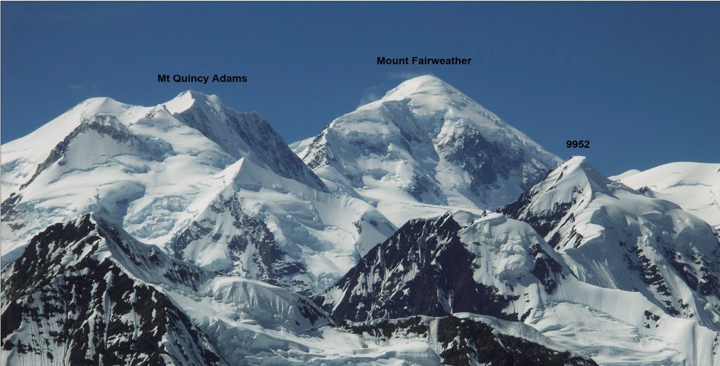
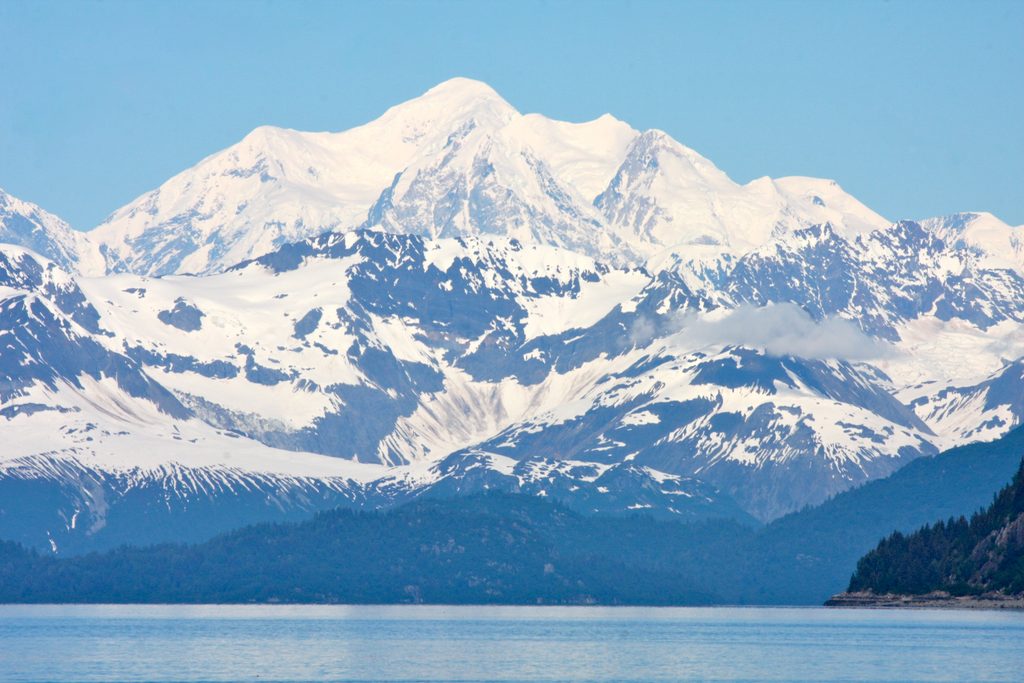
Mount Fairweather is the park’s titan—15,300 feet of coastal mountain rising essentially from sea level. It sits on the Alaska–British Columbia border and is the tallest peak associated with the park. On clear days, it dominates the skyline and makes neighboring tall peaks look like foothills.
What You’ll See
- A dramatic, snow-cloaked massif towering over glaciers, rugged peaks, and vast icefields.
- From Bartlett Cove or while cruising Glacier Bay, the mountain commands the horizon when weather cooperates.
Weather and Visibility
Despite the name, weather here is fickle and frequently shuts down views. Southeast Alaska’s cloud cover often hides the summit for long stretches. When the skies open, it’s spectacular—be ready to seize short clear windows rather than planning around a single moment.
How People Experience It
Most visitors admire Fairweather from afar—Bartlett Cove or the waters of Glacier Bay—rather than setting foot on it. There are no roads, no trails, and no facilities at the mountain. Climbing is an expert-only, multi‑day glacier expedition accessed by air or sea; for everyone else, it’s a head‑turning landmark to spot when the ceiling lifts.
Wildlife
The peak itself is too harsh for casual wildlife sightings, but the surrounding region supports bears, mountain goats, and birds of prey on land, with whales, seals, and seabirds in the adjacent waters. Keep your eyes open as you scan the skyline.
Geology and History
Fairweather is a product of active tectonics: uplift along the Fairweather Fault has created a landscape of bold relief and ongoing change. The mountain was named in 1778, a nod to the unusually fair weather observed during an early coastal voyage.
Best Time to See It
There isn’t a perfect “hour”—your best bet is patience and flexibility. Check the skies often during your visit; clear breaks can arrive suddenly. If you have more than one day in the park, your odds improve.
Practical Notes
- No amenities at or near the mountain—no roads, trailheads, restrooms, or services.
- If you’re hoping for a good look, bring binoculars or a telephoto lens and warm, waterproof layers. Boat days can offer the best sightlines when the clouds part.
Where it is
58.9108, -137.5413Tips for Mount Fairweather
- 01Build in flexible time—clear-sky windows can be short and unpredictable.
- 02Best casual views are from Bartlett Cove and while on the waters of Glacier Bay.
- 03Carry binoculars or a long lens; the mountain is over 70 miles from Bartlett Cove.
- 04Don’t expect infrastructure—there are no roads, trails, or facilities at the mountain.
- 05If the summit is socked in, keep checking; breaks in the cloud deck do happen.
Near Mount Fairweather
All places →All trails →
3.2 mi awayMount Quincy AdamsRemote 13,650-foot border peak for serious mountaineers
7.4 mi awayMount SalisburyRemote Fairweather Range giant for serious, self-sufficient alpinists
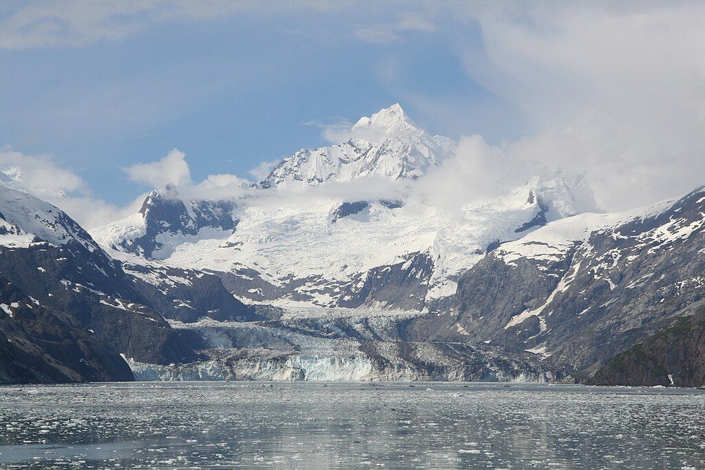
12.6 mi awayJohns Hopkins GlacierRare advancing tidewater glacier with thunderous calving and rich wildlife
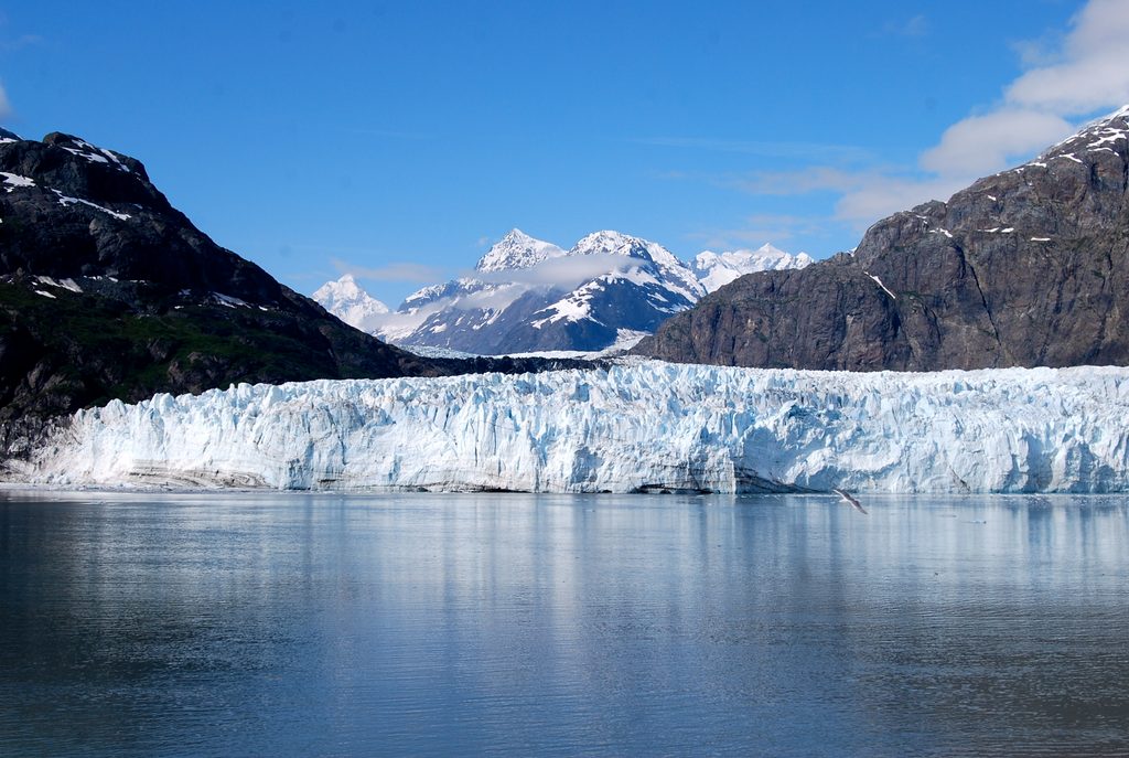
13.6 mi awayMargerie Glacier ViewpointBoat-in front-row seat to a dramatic, frequently calving tidewater glacierScenic Viewpoint
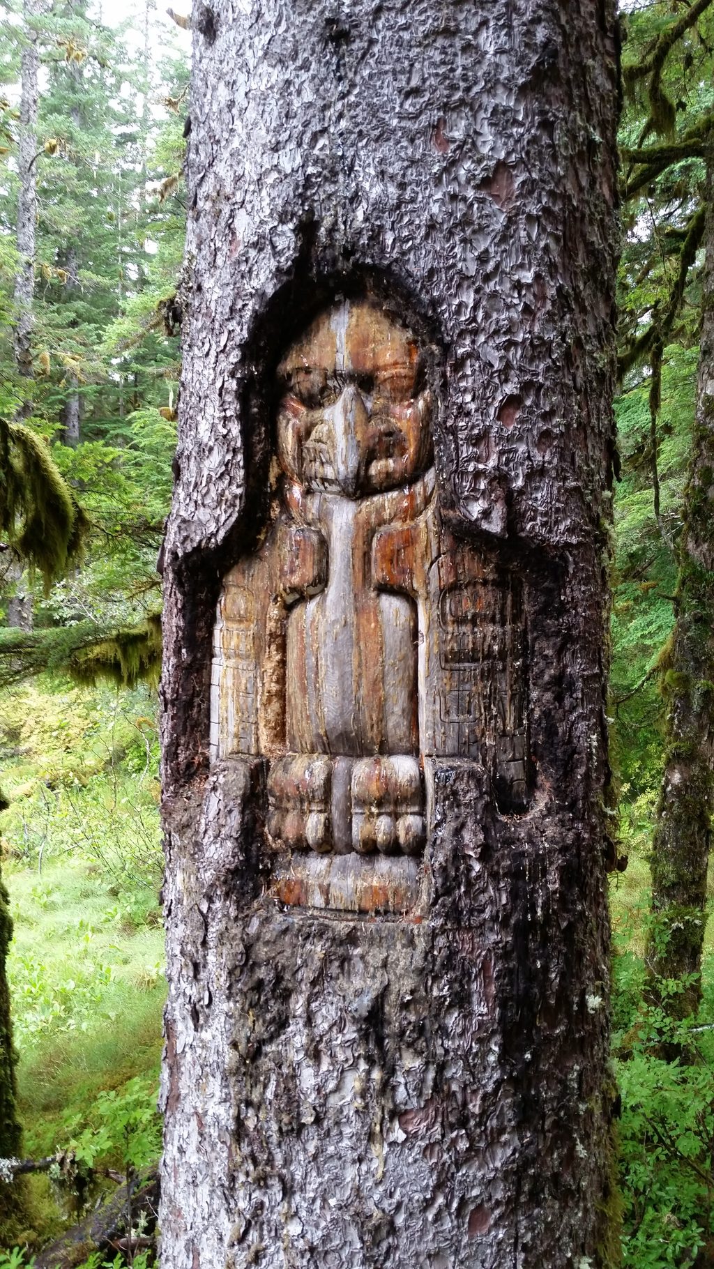
67.3 mi awayTlingit TrailA gentle bayside stroll into Huna Tlingit culture and Bartlett CoveEasy · 1 mi · 1 hr
Bartlett River TrailQuiet rainforest walk to a wildlife-rich river estuaryEasy · 5 mi · 4.5 hr
Forest Loop TrailRainforest loop with pond views, beach detour, and spring birdsongEasy · 1 mi · 1 hr
Bartlett Lake TrailLong, soggy rainforest trek to a quiet lake—bring rubber boots.Moderate · 8 mi · 7 hr