Parking
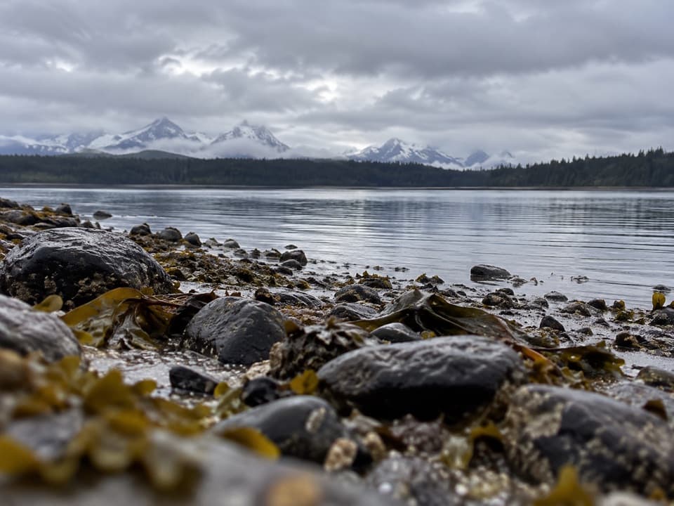
Park at Bartlett Cove Visitor Information Station. Cross the parking area toward the campground and follow the Beach Trail to the shore south of the docks.
#5 of 7 trails in Glacier Bay
Glacier Bay National Park, AK
Rocky beach to a sandy point; plan for a falling tide.
Overview
Map & elevation
Plan your hike

The highest, rockiest slopes around here are a summer buffet for grizzly bears.
Glacier Bay Tour Guide
Parkwolf is a GPS audio tour guide for Glacier Bay National Park. As you drive, it chimes in with what’s ahead: hidden gems, upcoming stops, history, geology, and wildlife, right through your car’s speakers.
Recorded for this trailhead
Bartlett Cove Dock and Shoreline“You're nearing Bartlett Cove's public dock and Visitor Information Station. If you're camping or taking a private boat into the bay, stop at the station first for the required orientation.”
Plays as you drive up to this trailhead in the Parkwolf Glacier Bay Tour Guide.
More stories near here in the app
“Fantastic app with many points of information… It’s great to just turn on while you’re driving and it gives you an audio tour of the national Park. We love it!!!!”


Trail guide
This is a 12.5-mile out-and-back from Bartlett Cove to Point Gustavus and back, about 6.25 miles each way. The route follows the beach through park wilderness, then reaches a sandy point where Glacier Bay opens toward Icy Strait. It suits hikers who want a long shoreline day and the chance to look for coastal wildlife. Uneven footing and tide timing make it a serious day out; plan for a full day and save enough time and energy to retrace the shore. Published totals range roughly 12 to 13 miles, so treat 12.5 as a planning estimate.
Start at Bartlett Cove Visitor Information Station. Cross the parking area toward the campground and follow the Beach Trail south. Near the place where the Campground Trail turns east, keep going south and west to the open shore. Once the main channel opens, walk the beach south. This walk extends beyond the shorter paths around Bartlett Cove; you can enjoy a shorter shore stroll by turning back whenever the tide or your time suggests. No food or water stop is documented along the shore, so carry what you need from Bartlett Cove. Pets cannot go on park beaches, trails or in the backcountry; trained service animals are allowed.
Beyond the developed access, the walk keeps to the narrow strip between tree line and water. The long southbound stretch is rocky beach, with wet rocks and logs; footing changes as the shore changes. There is no constructed tread through the whole wilderness segment, so expect to pick your way over the natural surface. The route has little climbing, but distance, rough footing and slow progress matter more than elevation. A waterproof hiking boot with ankle support is a better choice for hours on rock; rubber boots handle water but may give less support.
Check tide tables and talk to a ranger at the Visitor Information Station before leaving. The useful window starts as the tide falls; aim to finish the return while the shore is still exposed. The safe window changes with the tide and shoreline, so there is no single start time that works for every outing. Low water brings out intertidal life, but don't let looking down push the turn-around late. Follow the beach to Point Gustavus and return the same way. The separate continuation toward Gustavus town crosses deep mud and water and needs more difficult tide navigation, so keep this route's destination at the point.
At Point Gustavus the rocky shore gives way to sand; shells and driftwood show up here. The point is the entrance to Glacier Bay, with water toward the bay on one side and Icy Strait on the other. That change in shoreline and the open view are the reason to keep going beyond the easier Bartlett Cove shore. It's the natural turnaround and photo stop: include a little sand in the foreground and the open channel beyond.
At low tide, the intertidal zone exposes starfish and sea urchins; step carefully around it. In the larger bay, look and listen for humpback whales, feeding sea otters, bald eagles and shorebirds. Sightings vary, and a whale view is never promised. Mid-summer beach meadows flower, and the route gives long stretches of water and shore to scan without much climbing. If the day is too long, the near-dock shore still gives you a shorter taste of the beach, with a turn back before Point Gustavus.
Wildlife
 98 sightingsHumpback WhaleMost seen around 6 AMSighting map
 48 sightingsOrcaMost seen around 5 PMSighting map
 111 sightingsBrown BearMost seen around 7 PMSighting map
 313 sightingsSea OtterMost seen around 4 PMSighting map
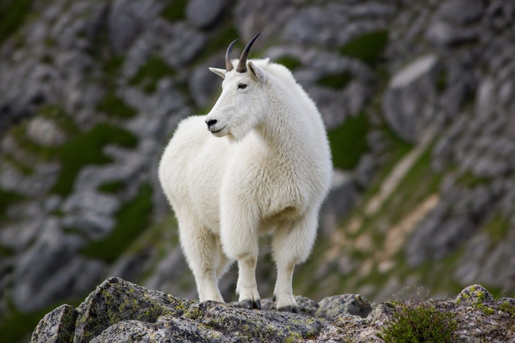 106 sightingsMountain GoatMost seen around 6 PMSighting map
 93 sightingsBald EagleMost seen around 5 PMSighting map
Sighting maps show where each species has been reported across Glacier Bay. Wildlife moves, so no sighting is guaranteed.
Keep exploring
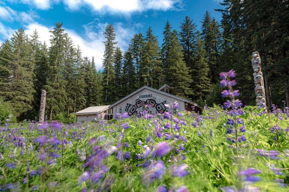 EasyTlingit Trail1 mi · 45 min · At the trailheadA shoreline stroll ends at the Huna Ancestors’ House.
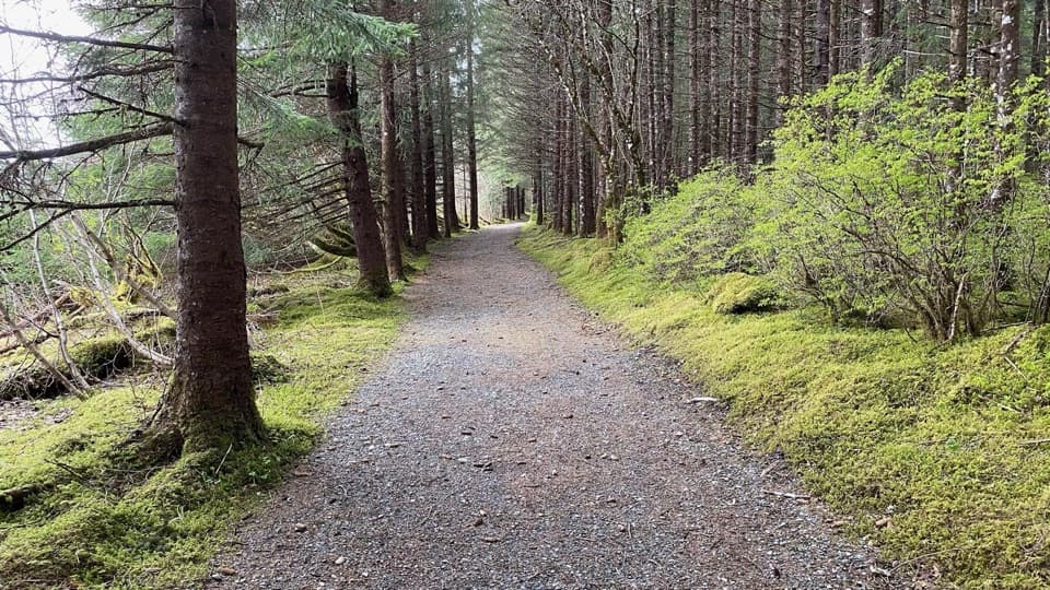 EasyBeach Trail0.3 mi · 10 min · 0.1 mi awayA wooded quarter-mile link between the dock and campground.
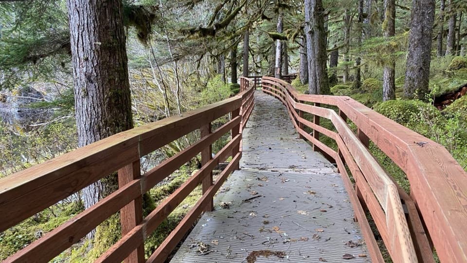 EasyForest Trail1.1 mi · 45 min · 0.1 mi awayA mossy pond boardwalk makes this easy loop worth slowing down for.
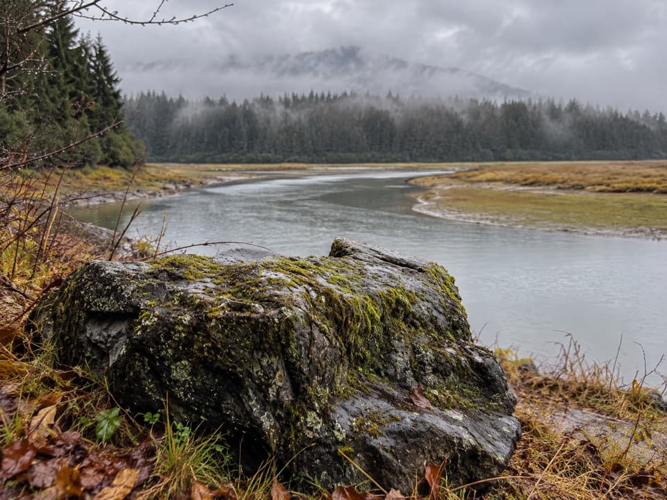 ChallengingBartlett Lake Trail10 mi · 7.5 hr · 0.6 mi awayA full-day moraine hike ends at a lake where loons may call.
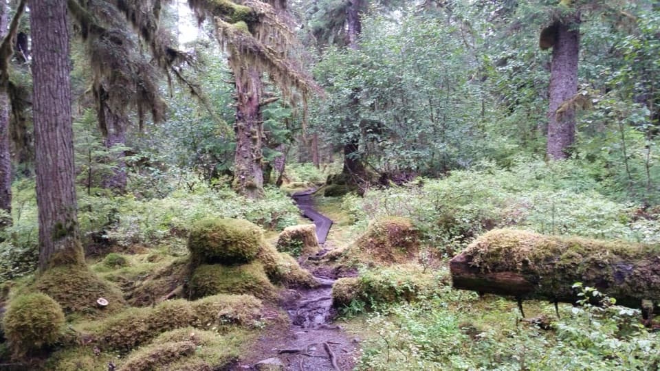 EasyBartlett River Trail2.1 mi · 4.5 hr · 1.1 mi awayA wet forest path opens onto an estuary where salmon draw wildlife.
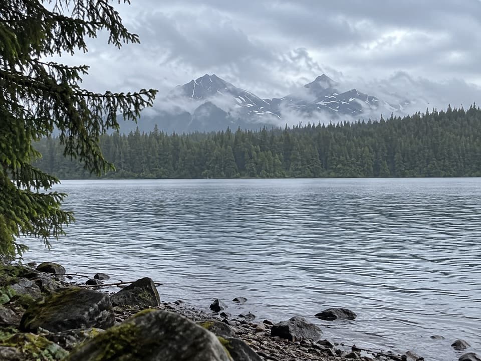 ModerateBartlett Lake/Towers Trail6 mi · 2.8 hr · 4 mi awayWalk an old tower roadbed to Bartlett Lake without a big climb.
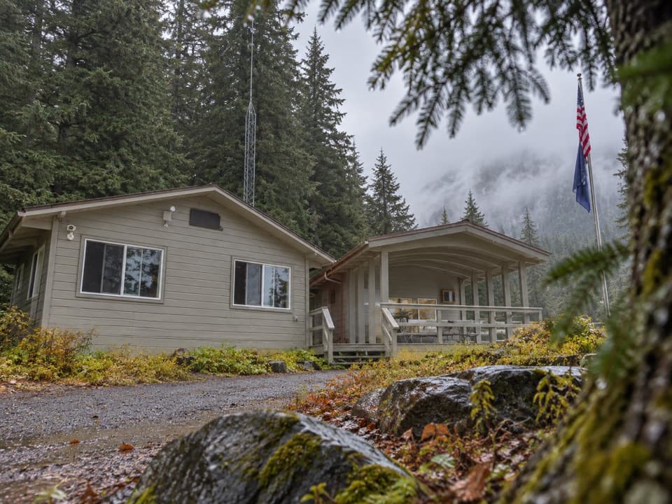 Ranger station · At the trailheadGlacier Bay Visitor Information StationStart your bay trip with the required boater and camper orientation.
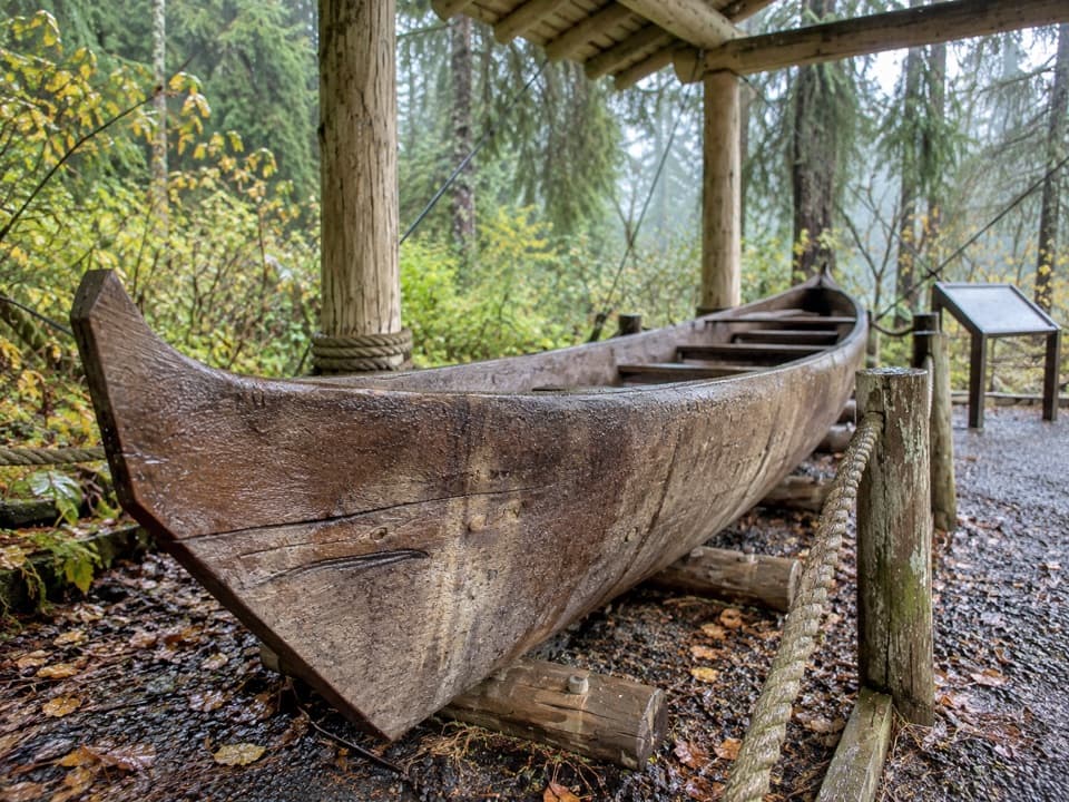 Sight · At the trailheadSea Otter Canoe, Yáxwch'i YaakwA 22-foot Huna Tlingit dugout anchors Bartlett Cove's cultural walk.
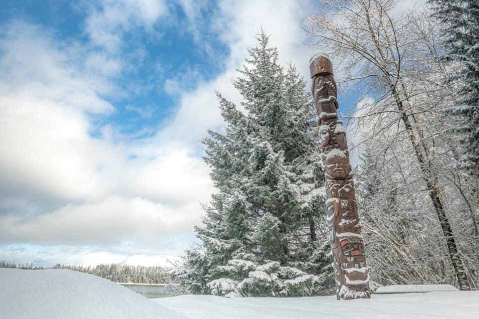 Sight · At the trailheadHealing Totem PoleA 20-foot cedar story along the walk to Huna Tribal House.
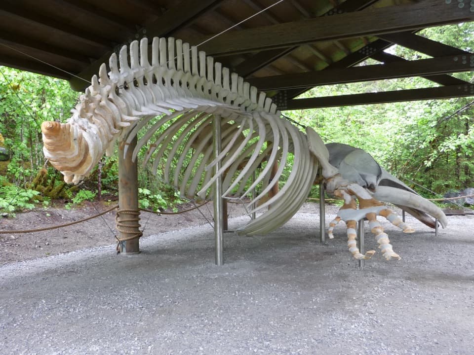 Sight · 0.1 mi awaySnow the Whale SkeletonA 45-foot whale skeleton, with a sobering story behind it.
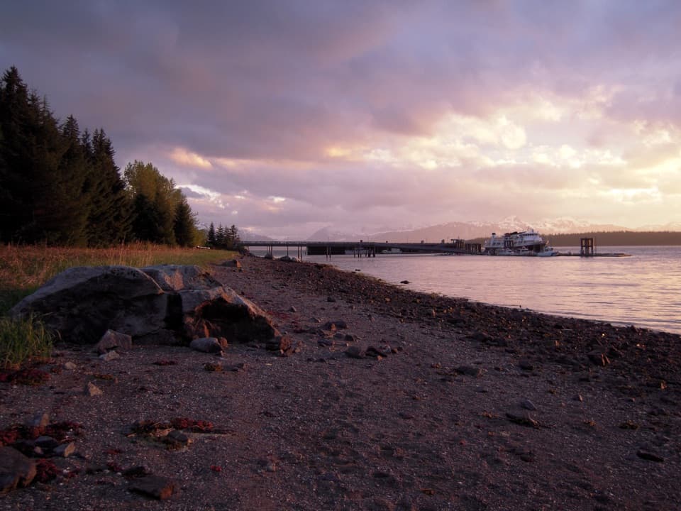 Beach · 0.1 mi awayBartlett Cove BeachA short shoreline stop for intertidal life and glacial history.
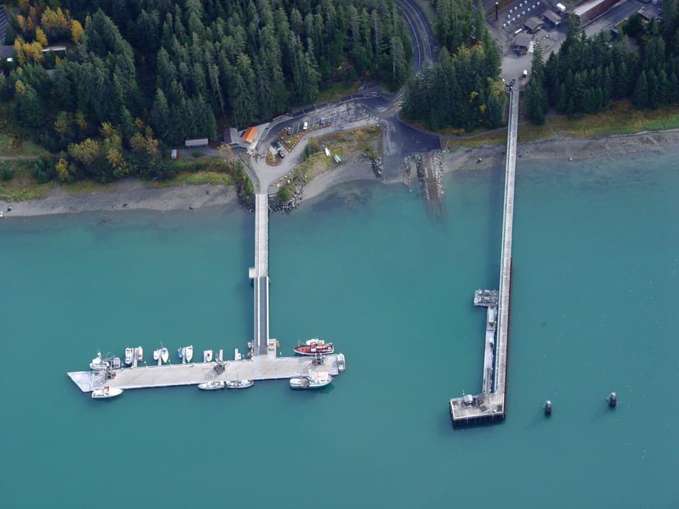 Sight · 0.1 mi awayBartlett Cove Public Use DockOtters below, mountain peaks beyond this working boat dock.
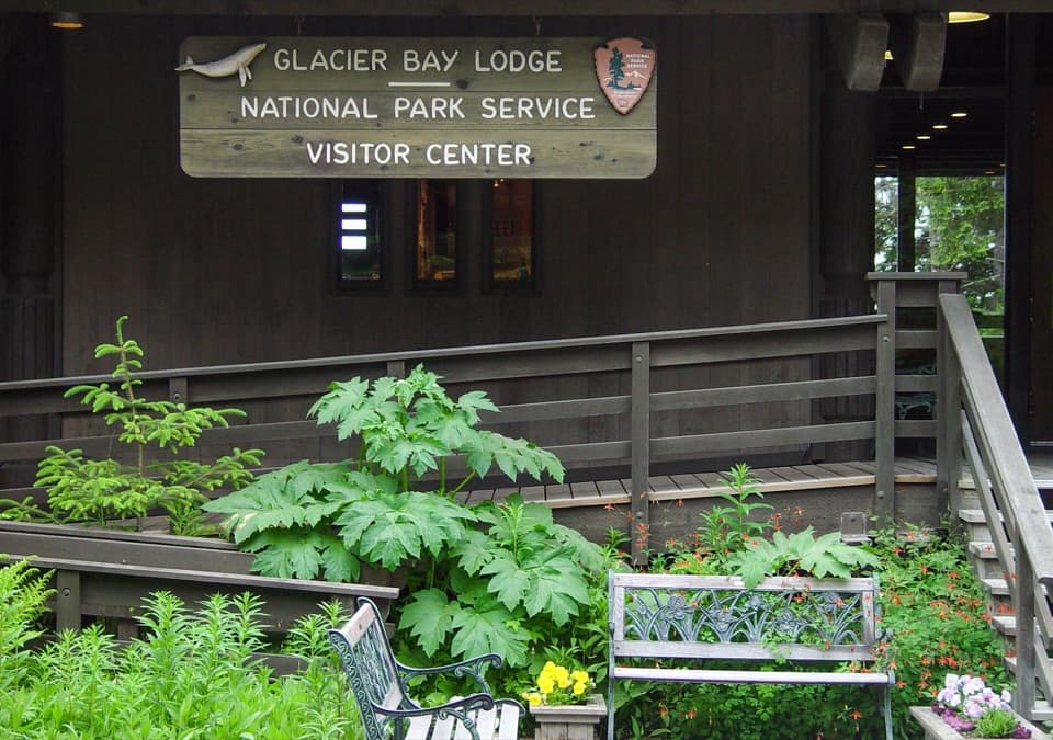 Visitor center · 0.1 mi awayGlacier Bay National Park Visitor CenterGet the bay's natural and cultural story before heading out.
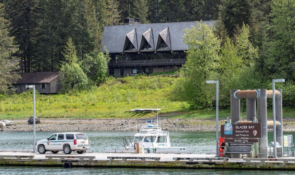 Lodging · 0.1 mi awayGlacier Bay LodgeThe only in-park hotel, tucked among Bartlett Cove's trees.
Parkwolf’s Glacier Bay ranking

The audio tour guide for the drive, plus offline maps, trails, and wildlife heatmaps for when the signal drops.