
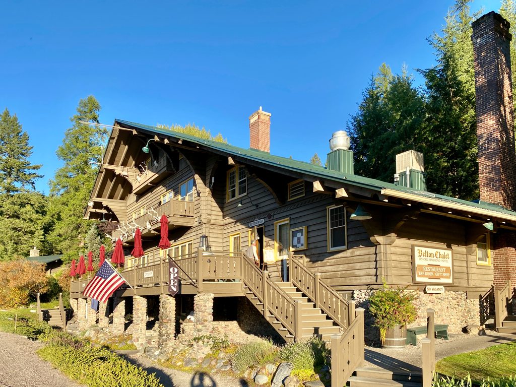
Place · 0.4 mi away
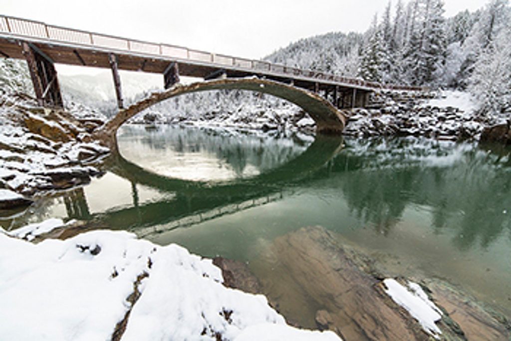
A 1920 concrete arch spanning the Middle Fork of the Flathead River, Belton Bridge was once the park’s west entrance. Today it’s pedestrian-only—a low-key stop for river views, a breather near West Glacier, and a taste of Glacier history without the crowds.
Expect broad views up and down the Middle Fork, with commercial rafts drifting by in summer. The rocky shoreline under and near the bridge becomes a casual hangout when flows drop—think sunning on boulders, wading, and people-watching. Photographers use the bridge’s curve and turquoise water as a clean, simple backdrop; it pairs nicely with a quick hop to Apgar and Lake McDonald.
From West Glacier, head toward Park Headquarters and follow Mather Drive; park at the end and stroll a flat old road about 0.5 miles to the bridge. There’s also a small pull-up area closer to the bridge, but overall parking is limited and can fill on summer afternoons. This is within the fee area—have a pass. Cell service is spotty once you leave the village hub.
The north side of the bridge serves as the start area for the South Boundary Trail, with long connections toward Lincoln, Harrison, and Nyack Creeks. The old road along the river makes for an easy leg-stretcher, and the Apgar Bicycle Path also begins here. Note that seasonal wildlife closures can affect the Belton Hills/South Boundary vicinity in winter.
Spring runoff means colder, faster water and slick rocks—keep kids close and wear grippy footwear. This is a local hangout at times; be courteous and keep valuables out of sight in your car. Follow all posted guidance on river use and closures.
There are no restrooms or water at the bridge. Use facilities at Park Headquarters or the Apgar area before you head down.
Aim for early morning or late afternoon for soft light and fewer people; sunset can be serene on calm days. Summer is busiest. In peak season, area access and parking fill early and some park zones use timed-entry—check current details before you go. The bridge is typically accessible year-round, but winter wildlife closures may affect nearby trails.
Place · 0.4 mi away
Place · 0.6 mi away
Place · 1.7 mi away
Place · 1.8 mi away
Challenging · 2.4 mi away
Easy · 3.3 mi away
Challenging · 7.8 mi away
Easy · 8 mi away

Parkwolf Tour Guide
