
Place · 0 mi away
Easy
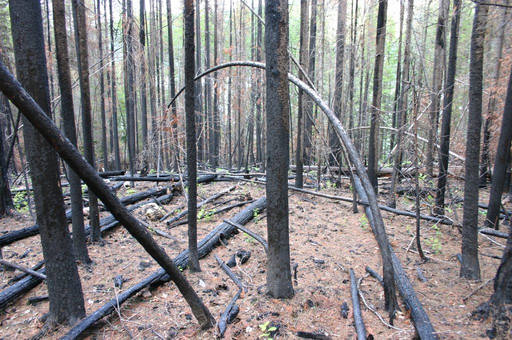
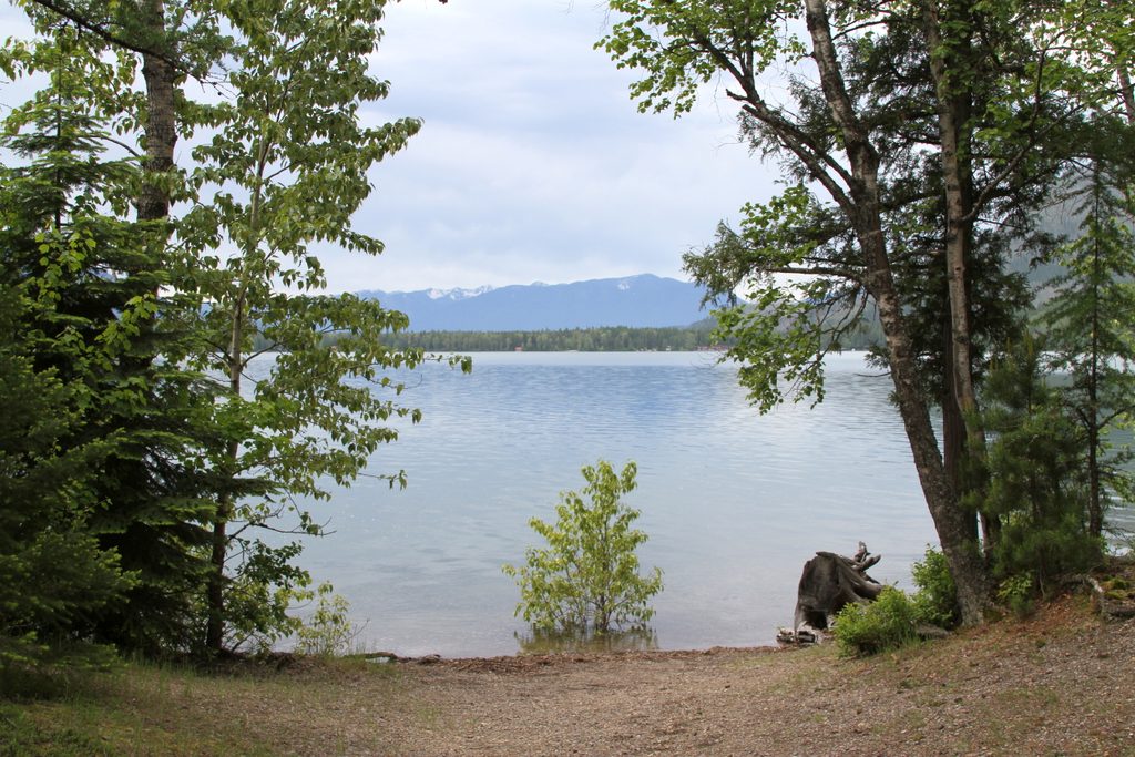
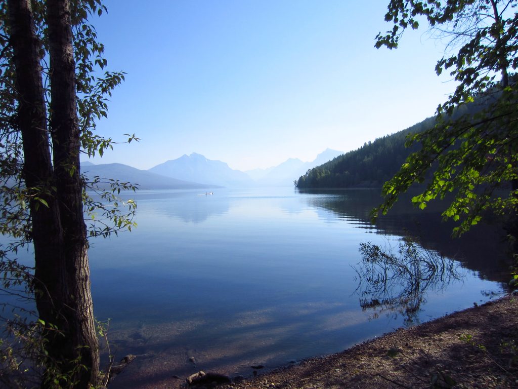
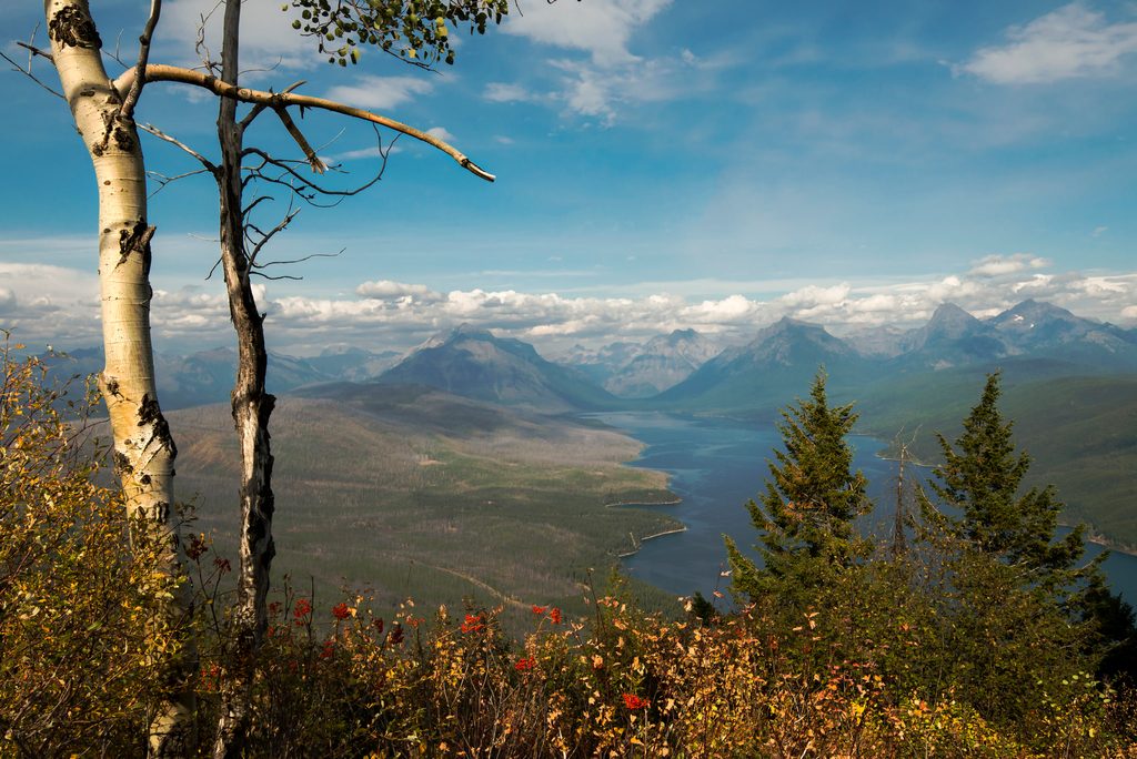
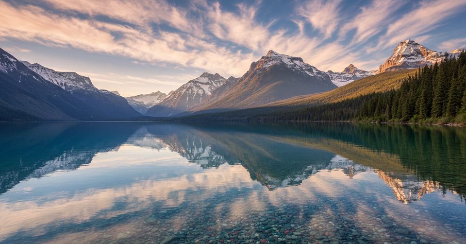
A quick, low-commitment hike on Lake McDonald’s quieter west side, Rocky Point strings together shaded forest, burn‑area regrowth, and rocky shoreline perches with big water-and-peak views. It’s easy, photogenic, and family friendly—great when you want a scenic leg-stretcher without fighting the major trailheads.
From the pullout north of Fish Creek, follow the Lake McDonald Trail and signed Rocky Point Nature Trail to the lakeshore promontory. Expect about 2.0 miles total, out-and-back, depending on whether you include the short spurs to viewpoints and beaches. The grade is mostly gentle. Some sources list this as roughly 2.2 miles round-trip if you consider 1.1 miles one way, and reported elevation gain ranges from very light to a couple hundred feet depending on route variations—either way, it’s an easy effort.
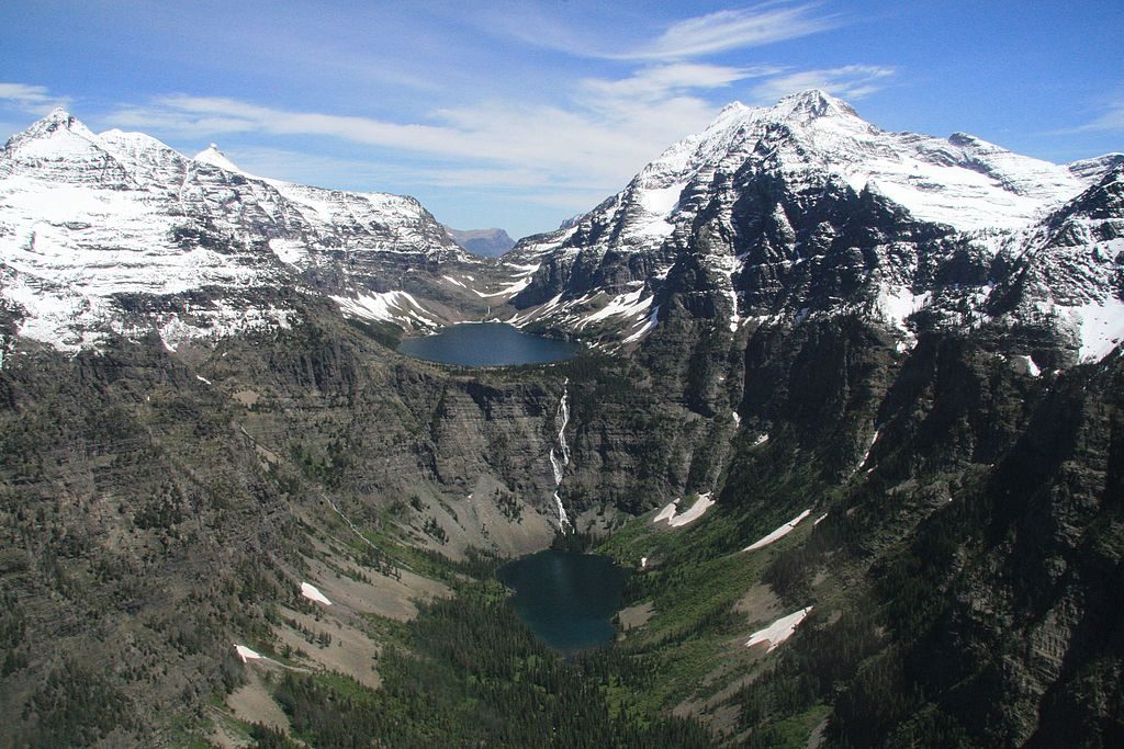
Geology cheat sheet: those long lake-and-peak vistas are classic Glacier—ancient sedimentary rocks uplifted along the Lewis Overthrust and later carved by Ice Age glaciers into today’s U-shaped valleys and sharp ridgelines.
This path sees steady use but is often calmer than the marquee west-side hikes. It’s a popular Plan B when the big lots fill. Parking is a gravel pullout across from the trailhead; go early or later in the day for an easier spot and a quieter shoreline.
Mornings and late afternoons bring softer light on the lake and fewer people. Summer offers the warmest temps for wading, but mosquitoes can spike—bring repellent and consider starting early. Shoulder seasons can be blissfully quiet; pack layers for lake breezes. If you’re chasing sunset, budget time to walk back before full dark.
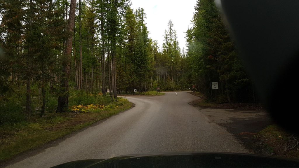
Gravel pullout across from the trailhead north of Fish Creek Campground: from Camas Road, take Fish Creek Campground Road 1.1 mi, then left on North Fork Road 0.4 mi to parking on the left; trailhead is across the road.
Very cold lake water even in summer; slick shoreline rocks; active bear country—carry bear spray and give wildlife space; mosquitoes can be heavy.
Place · 0 mi away
Place · 0.1 mi away
Place · 1.3 mi away
Place · 1.3 mi away
Challenging · 3.4 mi away
Easy · 4.8 mi away
Challenging · 5.7 mi away
Moderate · 6.4 mi away

Parkwolf Tour Guide
