Place · 4.7 mi away
Easy

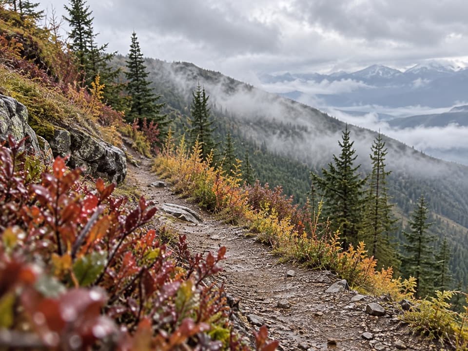
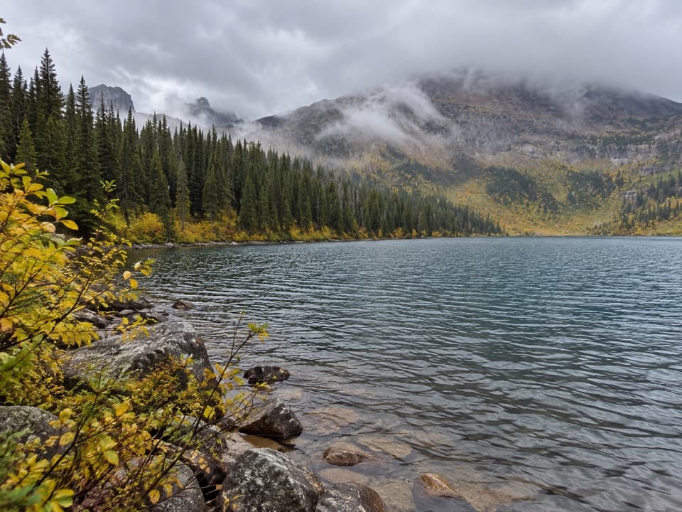
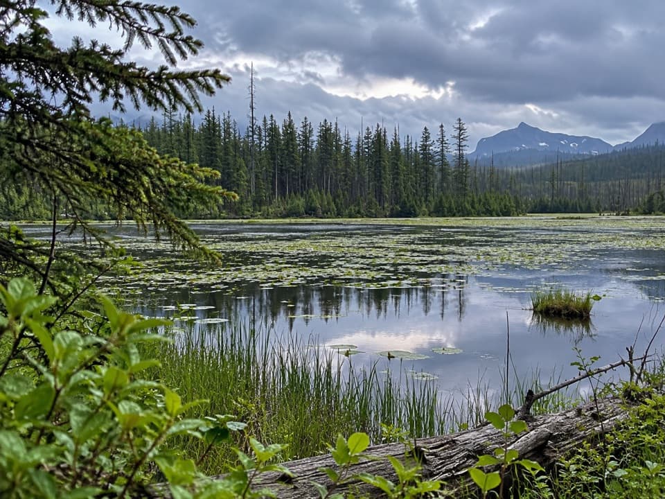
A mellow, lesser-traveled out-and-back, Howe Lake Trail is the antidote to Glacier’s marquee crowds. Expect a peaceful walk through a forest recovering from wildfire to a two-part lake system linked by wetlands—prime habitat for beavers and birdlife. Most hikers do roughly 3.2 miles round trip to the lower lake outlet; continuing a bit farther along the shore and wetlands brings it closer to 3.8 miles total. Elevation gain is modest (roughly 240–430 feet), and the grades are gentle, making this a solid easy-day option.
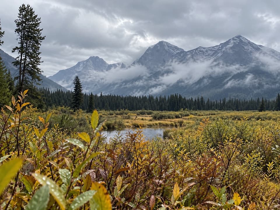
This is a study in quiet beauty: young lodgepole stands, some stately larch that dodged the flames, and open sightlines courtesy of past fires. The wetlands are the star—scan for active beaver structures and listen for the yodel of common loons. Wildflowers can be great in the open, sunny stretches. Views toward the Livingston Range appear through burn-sculpted snags; they’re pretty, but this isn’t a big-mountain vista hike—and that’s part of the charm.
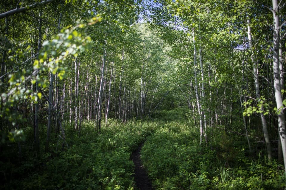
The singletrack is narrow in places with limited shade, especially near the lake. Expect buggy conditions around the marshy sections—bring strong repellent and consider sleeves/pants. Parts of the path can feel lightly maintained or a bit overgrown near the water. It’s quiet out here; carry bear spray, make noise in brushy sections, and stay alert.
The trailhead sits off the Inside North Fork Road between Fish Creek and Camas Creek. From the West Entrance/Apgar area, many drive Camas Road, turn onto Fish Creek Campground Road, then bear left onto the Inside North Fork Road for about 5.4 miles to the signed trailhead. The road is narrow and primitive gravel—take it slow. Parking is limited to small roadside pullouts (including two on the left near an interpretive sign for the Matejka Homestead). There are no facilities.
Late spring through fall is the sweet spot. Mornings are best for cooler temps, calmer air on the lake, fewer bugs, and soft light across the burn. Summer afternoons can be hot and mosquito-heavy due to limited shade and wetlands. This is the park’s wetter west side—weather turns quickly; pack a light rain layer. Always check current road and trail status before heading out.
If you want solitude, birds, and a look at Glacier’s burn-regrowth story without a big effort, this is a good pick. If you’re chasing dramatic peaks and waterfalls, look elsewhere or treat this as a low-key half-day warmup. For a longer day, you can continue past the lakes toward the Howe Ridge area.
Small roadside pullouts off Inside North Fork Road; two small pullouts on the left near the Matejka Homestead interpretive sign. No facilities; limited spaces.
Bear country (carry spray, make noise); mosquitoes and limited shade near wetlands; some overgrown, narrow sections; primitive gravel access road; seasonal loon nesting protections may restrict access or fishing at the upper lake—obey posted signs.