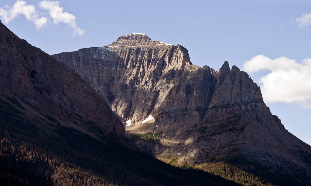
Little Chief Mountain

Remote St. Mary Lake summit with big views and serious off-trail
Little Chief Mountain, Glacier National Park
InsideGlacier National Park

Overview

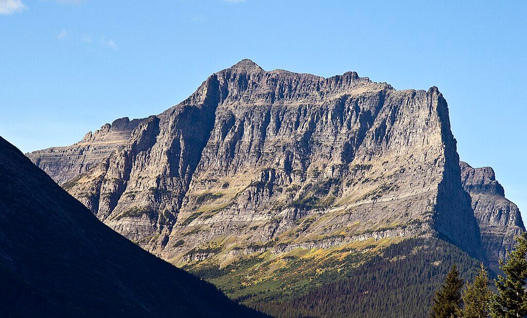
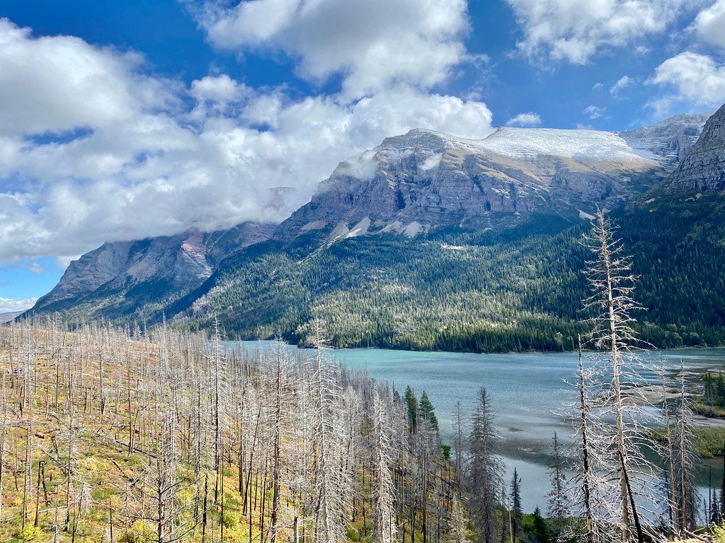
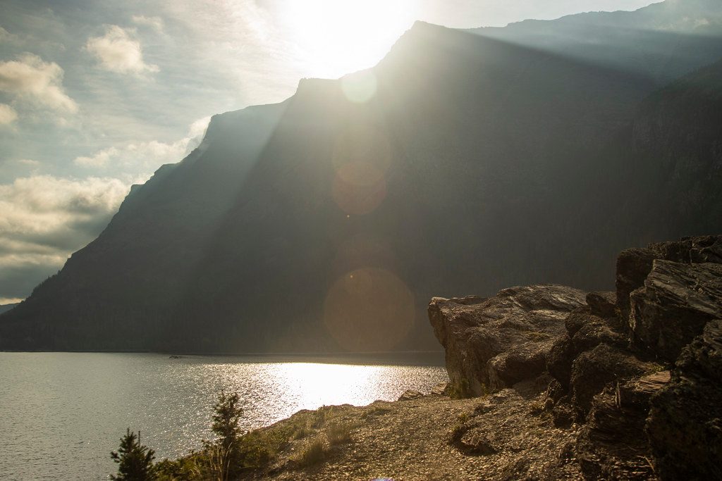
Little Chief Mountain anchors the south shore skyline of St. Mary Lake, its east face soaring nearly 5,000 feet above the water. It’s a big, committing objective for experienced Glacier hikers who don’t mind brush, scree, and some Class II–III scrambling. The payoff is a remote summit with sweeping views down the lake and across the Lewis Range.

Routes at a Glance

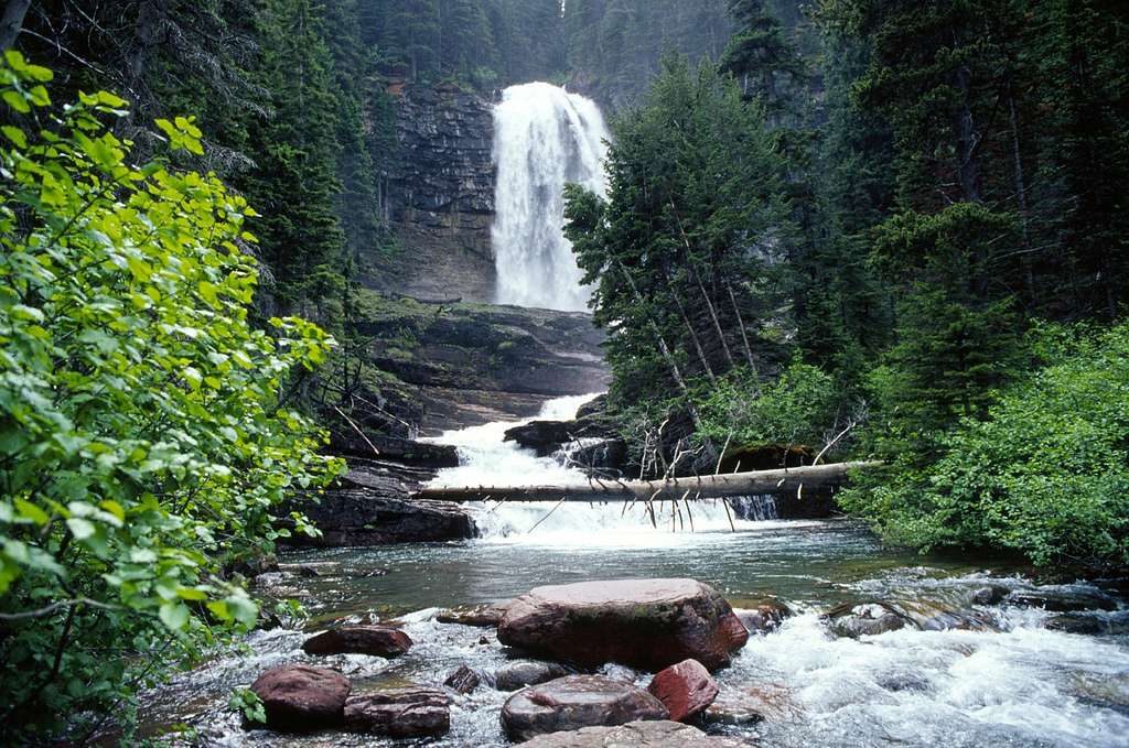
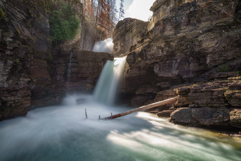
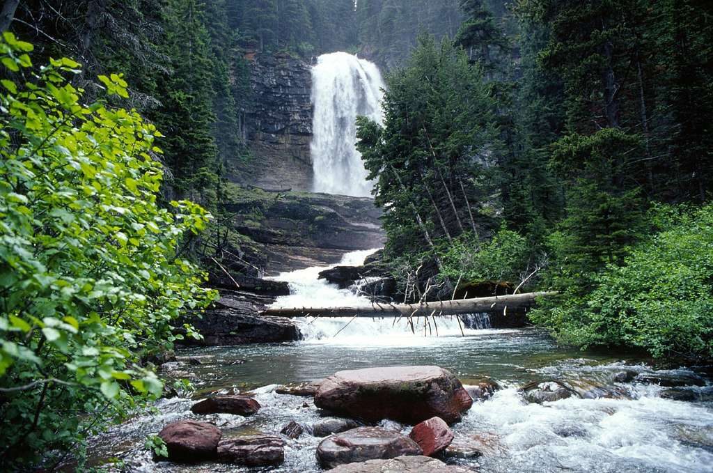
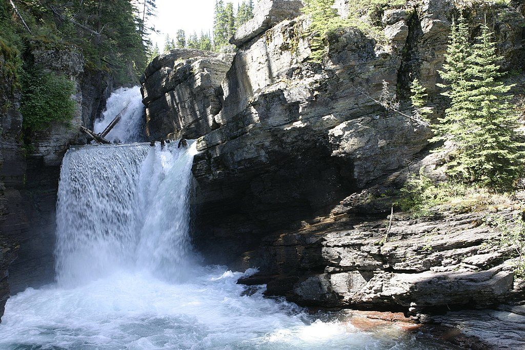
  • West Slope (most common): Start from the St. Mary Falls trailhead, hike past St. Mary and Virginia Falls, then leave the trail to bushwhack into a northwest drainage. Around 7,500 feet, locate a break through a smooth gray “algal-reef” limestone band and traverse solid goat paths across the west face to a broad, loose slope southwest of the top. Expect a long scree slog to the summit and retrace your ascent to descend to avoid cliff bands.
  • Red Eagle → Mahtotopa → Little Chief Ridge Traverse: A grand link-up above the south shore of St. Mary Lake. Water is scarce on the ridge; a car shuttle (Red Eagle TH to St. Mary Falls) saves a long exit. Beware “inviting” west-face gullies toward Virginia Creek—many cliff out.
  • Almost‑a‑Dog Pass approaches: Beautiful but complicated, generally multi-day and mostly off-trail; plan carefully with backcountry permits if you go that route.
  • East Face: Technical climbing (Class IV–V) on Glacier’s infamously brittle rock—serious and specialized.

Season and Conditions

Prime season is July–September. Snow can linger on shaded slopes into summer, and the west side is sun-exposed and dry—carry more water than you think you’ll need. Helmets are smart on the upper mountain for rockfall. Start at first light; parties commonly report 10+ hour days.

Wildlife and Hazards

This is prime grizzly and black bear country, with moose possible in the lower drainages. Make noise, carry bear spray, and check current closures. Route-finding is the crux for many: numerous descent gullies above Virginia Creek cliff out, which is why most experienced parties descend the exact west-slope line they climbed.

Logistics

Access typically uses Going‑to‑the‑Sun Road; summer openings and timed vehicle rules can change year to year—verify current regulations. St. Mary Falls parking is very popular and fills early. There are no facilities on the mountain; once you leave the lake trails you’re fully self-supported. Trailheads in this corridor generally have bathrooms, but don’t count on supplies—pack your own.

Geology You’ll Notice

Little Chief’s dramatic walls are hardened limestones riding over younger rocks on the Lewis Overthrust. The classic U‑shaped valleys and overdeepened basins around St. Mary Lake speak to the valley‑carving power of Ice Age glaciers. On route, that distinct gray algal‑reef limestone band is a key landmark and crux to locate.

Best Time to Visit

  • When: July–September, with the earliest starts on clear, stable days.
  • Day of week: Weekdays are less crowded for parking at St. Mary Falls.
  • Light: Morning light rakes the east face above St. Mary Lake; on the summit, midday to late‑day tends to give the broadest, shadow‑free views.
  • Crowds: Expect heavy parking pressure at the trailhead; you’ll likely have solitude once off‑trail.

Pros

  • Huge views over St. Mary Lake from a remote summit
  • Classic west-slope line with helpful goat trails above an algal-reef band

Cons

  • Long, mostly off-trail day with loose scree and complex route-finding
  • Parking at the St. Mary Falls start fills early in peak season

Tips

  • Start at first light to secure parking and bank daylight for route-finding.
  • Bring helmet, extra water, and bear spray; the upper mountain is loose and exposed.
  • On the west-slope route, find the break through the algal-reef band and stick to the goat trails above it.
  • Descend the same west-slope line you ascended to avoid cliffing out above Virginia Creek.
  • For the Red Eagle–Mahtotopa–Little Chief traverse, set a car shuttle and plan for scarce water.
The Parkwolf tour guide sitting on a phone mounted in a car

Parkwolf Tour Guide

Like a tour guide in your car.

Save the places you found around Glacier, then let Parkwolf guide the drive between them.Download Parkwolf on the App Store