
Place · 0.5 mi away
Easy
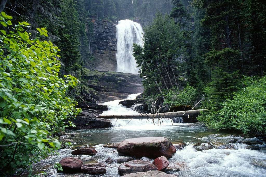
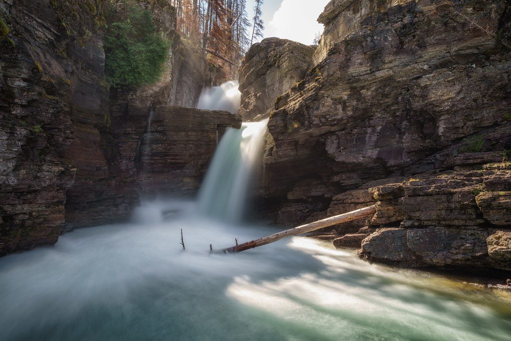
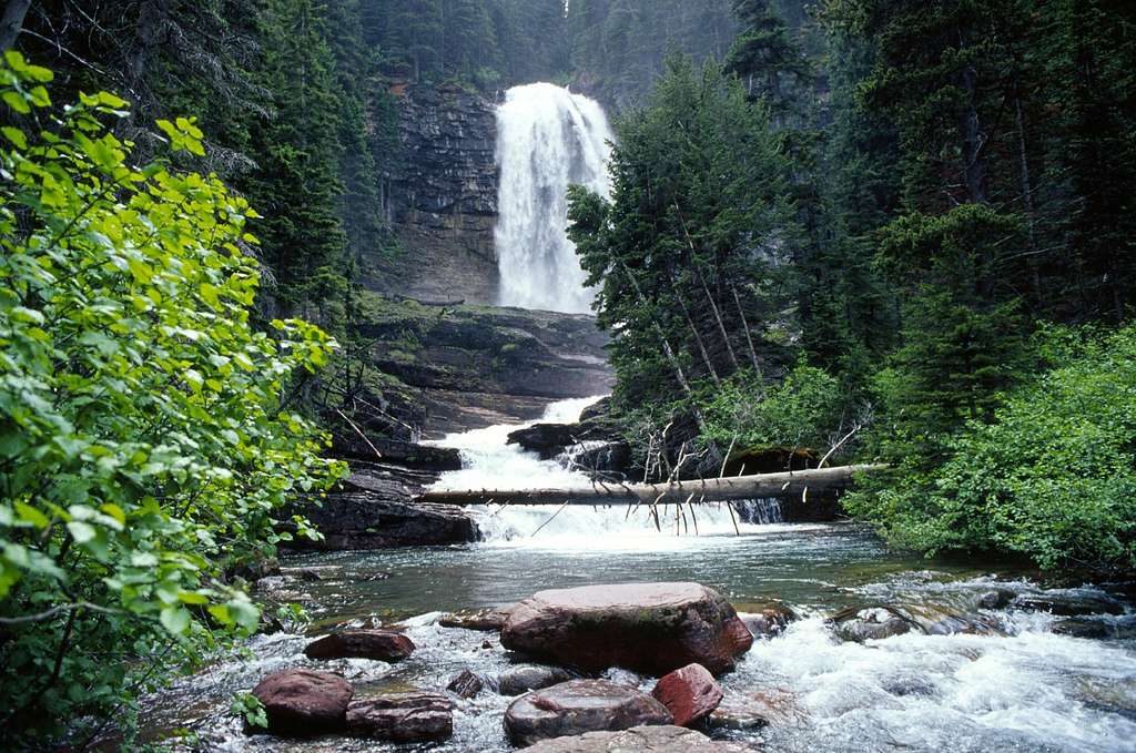
Short, crowd-pleasing, and flat-out pretty—this outing strings together multiple waterfalls in quick succession. Expect vibrant water at St. Mary Falls, then bigger drama and cooling mist at Virginia Falls. It’s generally easy to moderate: the way out trends downhill, so you’ll earn it on the return. Total distance is about 3.6 miles round trip with roughly 450 feet of gain.
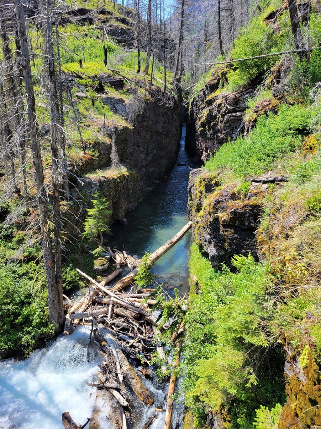
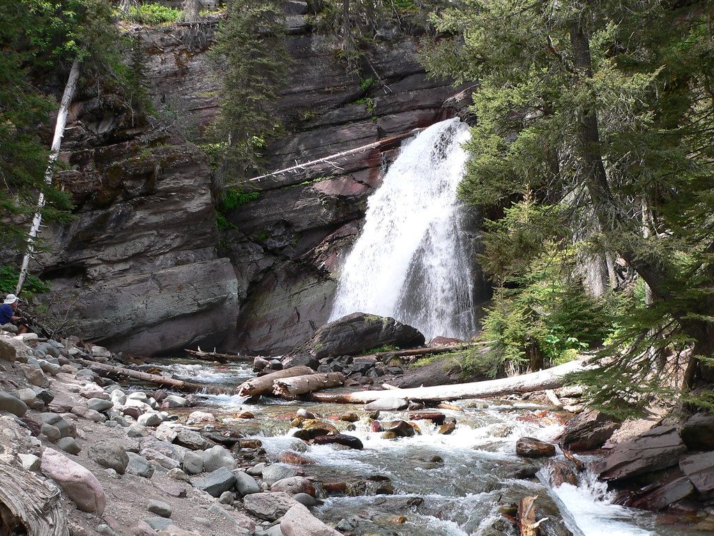
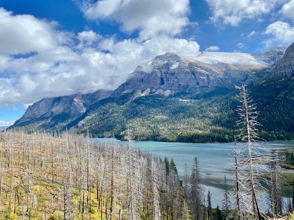
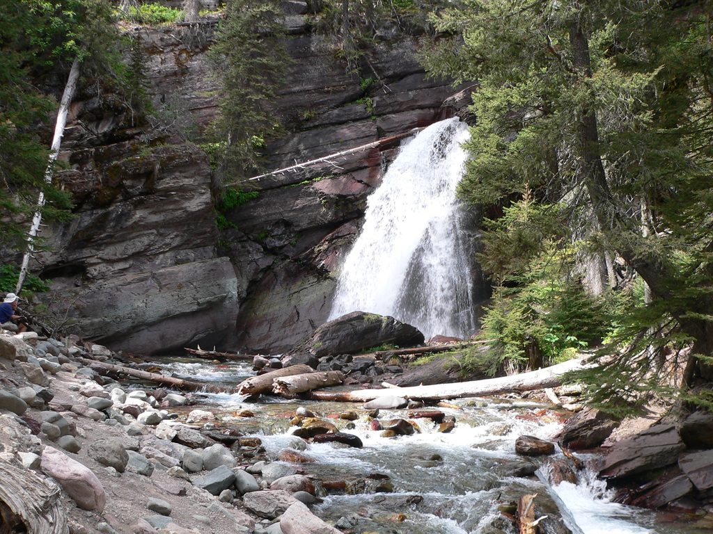
Start from the St. Mary Falls Trailhead and descend through a partially burned forest (less shade, more sun exposure). Reach the bridge viewpoints at St. Mary Falls, then continue upstream along Virginia Creek past smaller cascades and Lower Virginia Falls to the main amphitheater of Virginia Falls. You can get very close to the spray at Virginia—bring a layer if you run cold and watch the slick rock near the base. Return the same way; that gentle downhill you enjoyed on the way out becomes a steady climb back.
Late spring to early summer is prime when snowmelt supercharges the falls. Later summer into early fall brings lower flows but still lovely scenery and refreshing mist on warm days. For cooler temps, easier parking, and softer light on the falls, start early.
This is a popular trail in peak season. Parking is limited; arriving early or using the park shuttle makes the day smoother. There are two access points in the area, and a private vehicle lot sits a short walk from the shuttle stop.
Expect sun exposure in burned sections and wet, slick footing near the falls—don’t climb on wet rocks. The uphill return can feel like a slog for some, especially in heat or if you’re adjusting to elevation. Carry water; hiking poles can help on the way back. This is bear country—make noise and be prepared. Deer are commonly spotted along the trail.
Keep an eye out for colorful rock layers along the creek and trail—they’re part of what makes the scenery pop here. If you prefer a more structured day, guided hikes are offered in season and often include transportation and interpretive history and geology; they book up early.
Park at the St. Mary Falls Trailhead along Going‑to‑the‑Sun Road; limited spaces fill early. There are two trailhead access points in the area, and a private vehicle lot a short walk from the St. Mary shuttle stop. Using the park shuttle is a good backup.
Wet, slick rock near the falls; uphill return can feel strenuous in heat; limited shade due to past fire; active bear habitat—carry spray and make noise. Cliff jumping in the area is reported but risky and not advised.
Place · 0.5 mi away
Place · 0.7 mi away
Place · 0.7 mi away
Place · 1 mi away
Moderate · 0 mi away
Easy · 0.7 mi away
Easy · 1.3 mi away
Challenging · 2 mi away

Parkwolf Tour Guide
