Pros & cons
PROS
- Striking red-rock cirque and clear alpine water
- Quieter than the park’s marquee lake hikes
- Backcountry campground with a pit toilet at the lake
CONS
- Long, sustained climb (~10.5–11 miles round-trip; ~2,000–2,300 ft gain)
- Exposed burn areas can be hot; mosquitoes in season
- No services at the lake; bears are active—carry spray
Overview
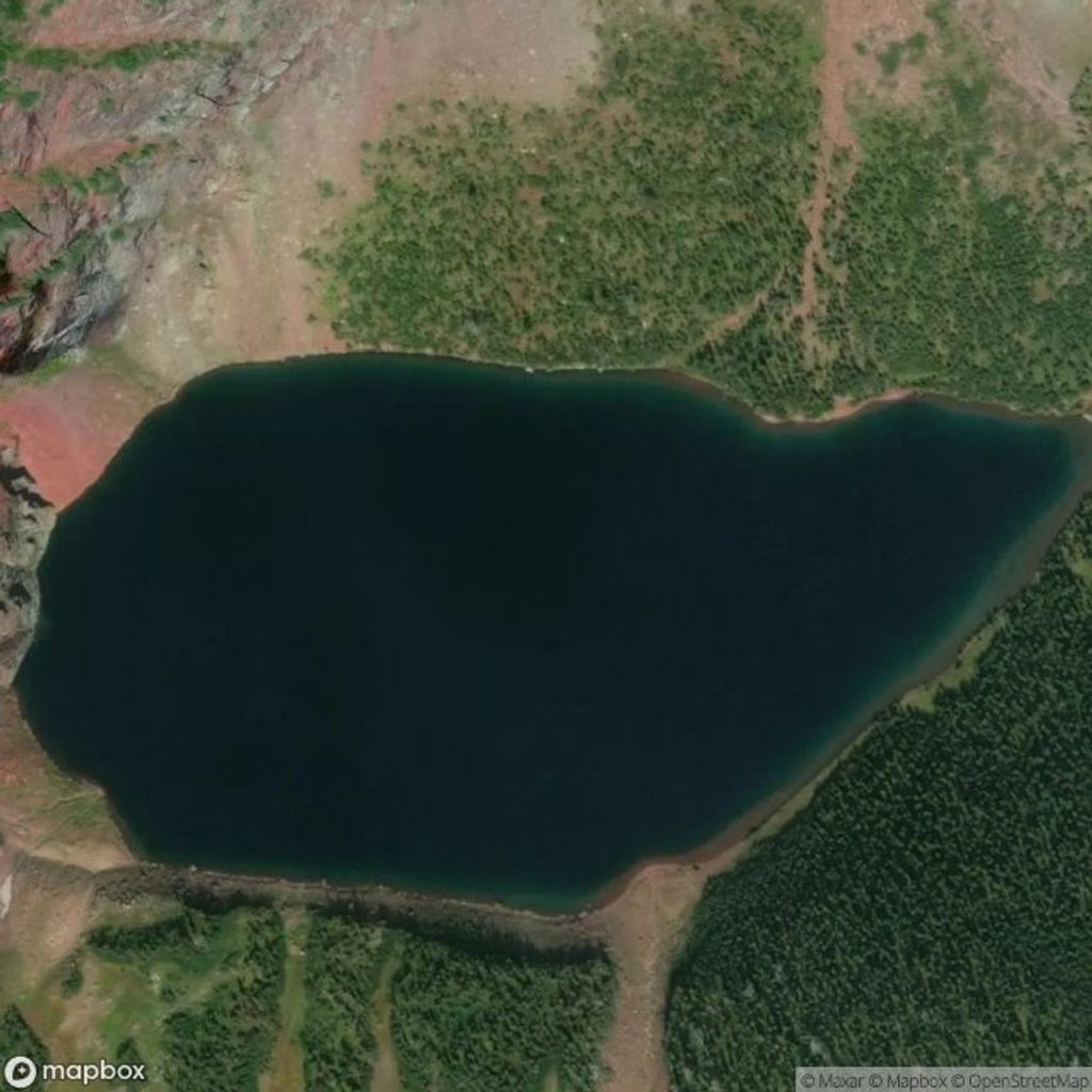
Tucked into Rose Basin, Otokomi Lake rewards a steady climb with deep-blue water framed by vivid red cliffs. It’s a classic East Side “work-for-it” destination: fewer crowds than the headliners, more solitude, and a geologic color show worth the sweat.
The Hike In
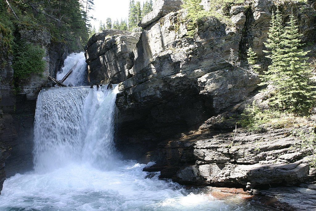
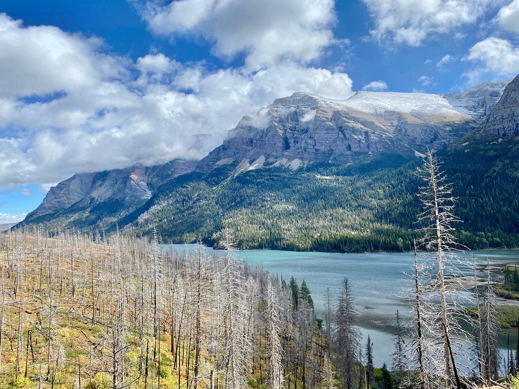
The trail starts behind the Rising Sun Motor Inn/camp store area on the east side of Going-to-the-Sun Road. Expect about 10.5–11 miles round-trip with roughly 2,000–2,300 feet of gain and a mostly steady grade. Early miles pass through the 2015 Reynolds Creek burn, where wildflowers and young lodgepole are reclaiming the slope. You’ll trace Rose Creek with frequent cascades and occasional glimpses toward St. Mary Lake, then break into talus and avalanche chutes as red walls close in near the basin.
Lake Setting & Scenery
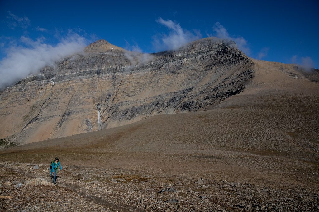
Otokomi sits in a bright red cirque where iron-rich Belt Supergroup rocks (notably red argillite) set off the lake’s blue-green water. The lake is fed by snowmelt, with waterfalls streaking the headwall in early season. For a wider panorama, hikers often seek the left/south shore near the outlet—only cross when flows are low and safe.
Wildlife & Safety
This drainage is bear country. Brushy berry patches and lower traffic increase the chance of encounters. Make noise, carry bear spray where you can grab it fast, and give all wildlife ample space. Early summer can bring lingering snow and icy mornings; late season can deliver sudden storms or downed trees after wind events.
Camping & Fishing
A designated backcountry campground sits near the outlet with a pit toilet and food-prep/storage setup. You must have a park backcountry permit. Water is from the lake/creek—filter or treat it. Anglers can fish in accordance with park regulations.
Logistics
- Access: Park at Rising Sun; the trail begins behind the camp store/Motor Inn. The park shuttle serves Rising Sun in peak season.
- Facilities: Bathrooms and potable water are available at Rising Sun; there are no services along the trail. At the lake, expect a pit toilet at the campground but no treated water.
- Dogs: Not allowed on this trail.
- Fees: Park entrance fee required.
Best Time to Visit
June through October is typical, with July–September offering the most reliable snow-free conditions. Start early for cooler temps and easier parking, and for softer photography light along Rose Creek. In early summer, expect higher creek flows and possible snow patches; in fall, watch for fast-changing weather.
Tips
- Sun exposure is real through the burn and talus—bring hat, sunscreen, and enough water.
- Mosquitoes can be pesky; pack repellent.
- Crossing to the south/left shore near the outlet can yield the best view—only ford when flows are low and it’s clearly safe.
- Check the park’s trail status for snow, bear-related closures, fire activity, or campground advisories before you go.
Where it is
48.7173, -113.5982Tips for Otokomi Lake
- 01Start early for cooler temps and easier parking at Rising Sun.
- 02Carry bear spray, make noise in brushy stretches, and give wildlife space.
- 03Expect sun exposure; pack extra water, a hat, and sunscreen.
- 04For the signature view, ford to the south/left shore near the outlet only when flows are low and safe.
- 05Check current trail status for snow, closures, or campground advisories before you go.
Amenities
Near Otokomi Lake
All places →All trails →
1.3 mi awaySiyeh PassHigh alpine traverse from meadows to gorge with huge Glacier viewsScenic Viewpoint
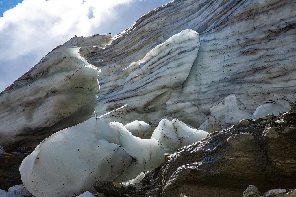
2 mi awaySexton GlacierEast side glacier framed by the dark Purcell Sill.Pullout · Scenic Viewpoint
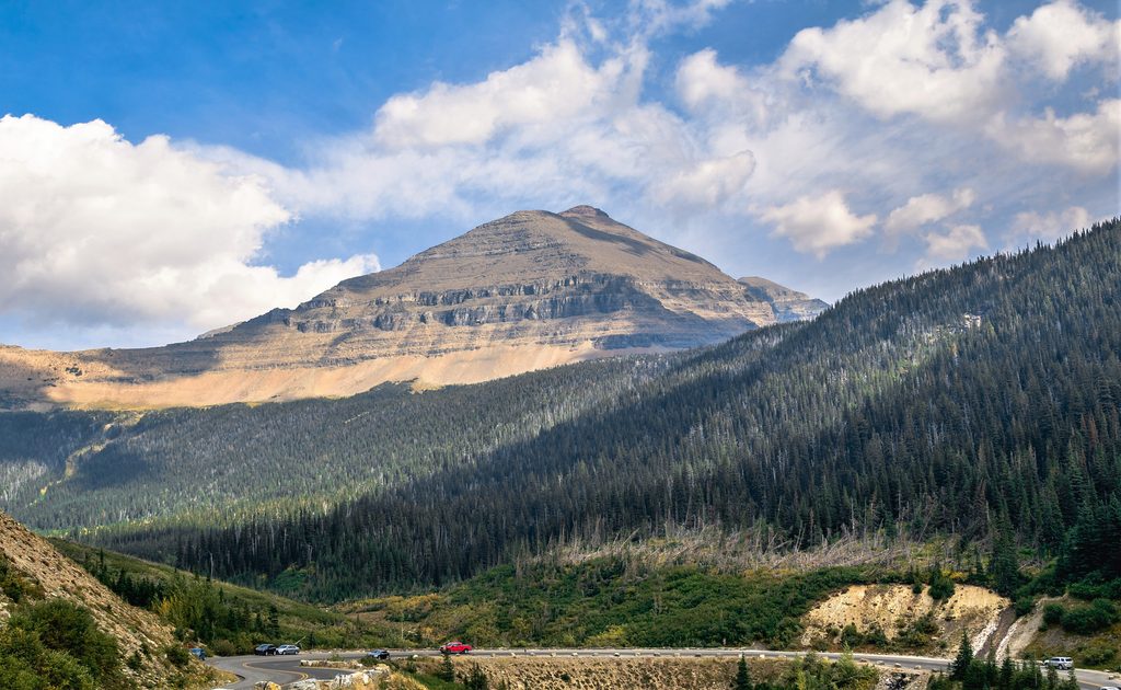
2.5 mi awayMount SiyehAn attainable 10,000‑ft summit with wild alpine viewsScenic Viewpoint
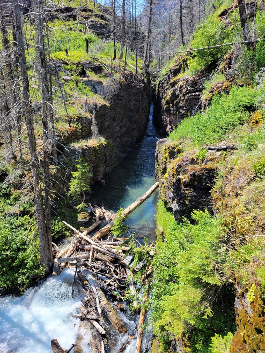
2.7 mi awaySunrift GorgeA 200-foot stroll to a roaring, rock-carved chasm on Baring CreekTrailhead · Pullout
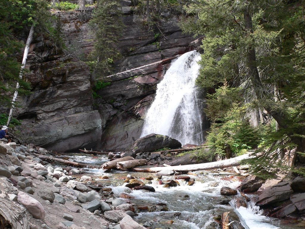
2.7 mi awayBaring Falls TrailShort, easy stroll to a misty waterfall with St. Mary Lake viewsEasy · 0.7 mi · 30 min
2.9 mi awaySt. Mary & Virginia Falls TrailTwo iconic waterfalls with big views on a quick, crowd‑pleasing walkEasy · 3.6 mi · 1.4 hr
3 mi awaySun Point Nature TrailShort, big‑view stroll to Sun Point above St. Mary LakeEasy · 0.8 mi · 30 min
3 mi awaySaint Mary Lake TrailWaterfalls to big lake vistas along the sunny south shoreModerate · 7.2 mi · 3.5 hr