
Place · 1.5 mi away
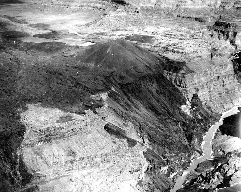
Lava Falls is the Grand Canyon’s most famous—and most feared—rapid, a Class 10 on the canyon scale (akin to Class V). It sits around river mile 179 near the mouth of Prospect Canyon, where the river funnels into a short, brutal drop that has defined countless river trips.
Expect a loud, thundering horizon line, mist rising from the drop, and a fast, violent sprint through chaos. The main drop is roughly 13 feet, with the rapid losing about 37 feet in just 100 yards. The notorious Ledge Hole in the center is something most rafts avoid. The core of the run is over in less than 20 seconds—intense, consequential, unforgettable.
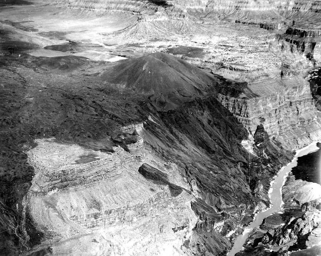
This is volcano country. Ancient lava from the Uinkaret Volcanic Field spilled toward the river, leaving black basalt that frames the scene today. Debris flows from Prospect Canyon repeatedly rework the rapid; notable pulses in 1939, 1954, 1955, 1966, and 1995 shifted boulders and reshaped lines. The result is a rapid that evolves over decades, not millennia.
Lava Falls has long loomed large in guide stories and river-running culture. In 1960, Otis “Dock” Marston’s team famously upran it using a jet boat—the kind of stunt earlier expeditions couldn’t pull off with propeller craft. You’ll still hear old-timers call it “Vulcan,” but Lava Falls is the name that stuck.
Most parties scout from river right to pick a line and get eyes on hazards. Both right and left routes are possible depending on flows; the left can get especially rocky at low water. Portaging on the left is possible but rarely done. Many groups celebrate just downstream on a sandy beach nicknamed “Tequila Beach.”
Lava is consequential even for experts: flips, swims, and gear yard-sales happen. Anxiety builds as you approach, which is part of the mythos. There are no developed amenities—river groups carry everything, including portable toilets.
The surrounding corridor supports bighorn sheep, canyon birds (think canyon wrens and peregrine falcons), lizards, and river otters, though the roar and activity at the rapid itself make sightings less common right at the drop.
You’ll meet Lava Falls on a permitted river trip. A steep, rugged route—the Lava Falls Trail from the remote Tuweep area—drops roughly 2,500 feet in about 1.5 miles, but this is backcountry business, not a casual day jaunt.
There’s no “showtime” here; you hit Lava when your trip reaches mile 179. Crowds aren’t a thing beyond your own flotilla. Plan to scout, trust your guide’s call on lines, and savor the moment—this is the crescendo of many Grand Canyon river journeys.
Place · 1.5 mi away
Place · 1.9 mi away
Place · 2.2 mi away
Place · 3.8 mi away
Challenging · 1 mi away
Challenging · 2.7 mi away
Challenging · 7.5 mi away
Challenging · 37.2 mi away

Parkwolf Tour Guide
