Pros & cons
PROS
- Jaw-dropping 3,000-foot vertical view straight to the Colorado River
- Quiet, wilderness vibe with far fewer people than the main rims
- Views of Lava Falls Rapids and nearby Vulcan’s Throne
CONS
- Long, rough dirt access roads; high-clearance strongly recommended
- Day-use permit and advance planning required
- No services or water; fully self-supported visit
Why it’s special
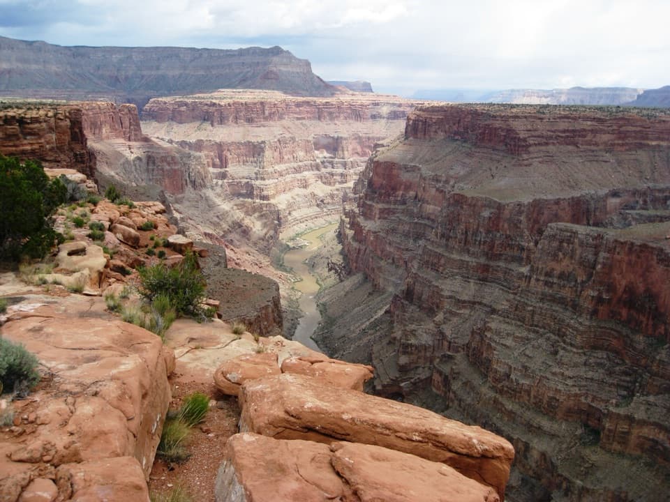
Toroweap Overlook (often called Tuweep) delivers the rarest perspective in the canyon: a near-vertical, 3,000-foot drop to the Colorado River. The canyon narrows here, amplifying the sense of depth and drama. Many visitors consider it the most powerful viewpoint in the park precisely because it feels raw and undeveloped.
What you’ll see
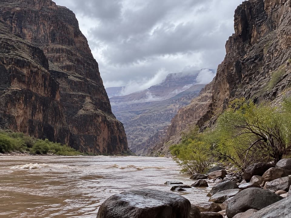
From the rim you can peer straight down at the churning Colorado and pick out Lava Falls Rapids—the most formidable whitewater in the canyon—sometimes with rafts threading the chaos. Look west to the dark volcanic cone of Vulcan’s Throne and across the Esplanade Platform, a broad bench carved from Hermit Shale and dotted with old lava flows.
Geology hits different here
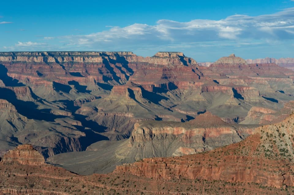
This corner of the canyon sits on the Esplanade Platform near the Toroweap Fault. The Uinkaret volcanic field poured lava across the landscape, leaving cinder cones and ancient flows that reshape the vistas. The absence of a high outer rim gives that unique straight-down view.
Wildlife
Expect company from the sky more than the trail: ravens, vultures, swallows, and even golden eagles ride the thermals along the cliffs. Desert lizards and small mammals are around, but sightings are secondary to the scenery.
Getting there (the hard truth)
Reaching Toroweap means 55–61 miles of rough dirt roads with no services. High-clearance is strongly recommended; 4WD can be necessary when wet. The park notes a significant number of visitors get flat tires—carry a good spare, plugs, and a compressor. After the Tuweep ranger station, a sign about 3.3 miles farther marks the high-clearance-only section; if unsure, park there and hike roughly 2.7 miles to the rim.
Permits and logistics
A day-use permit is required for visits. Be ready to show your permit, park pass, and photo ID at the Tuweep ranger station. There’s a small, primitive Tuweep Campground nearby (permit required); otherwise, there are no services—no fuel, food, or water.
On-site basics
Amenities are minimal by design. You’ll find composting toilets and a small parking area at the end of the road. Trailheads for local routes, including the Tuckup Trail and Saddle Horse Loop, are nearby. That’s it—bring everything you need.
Best time to visit
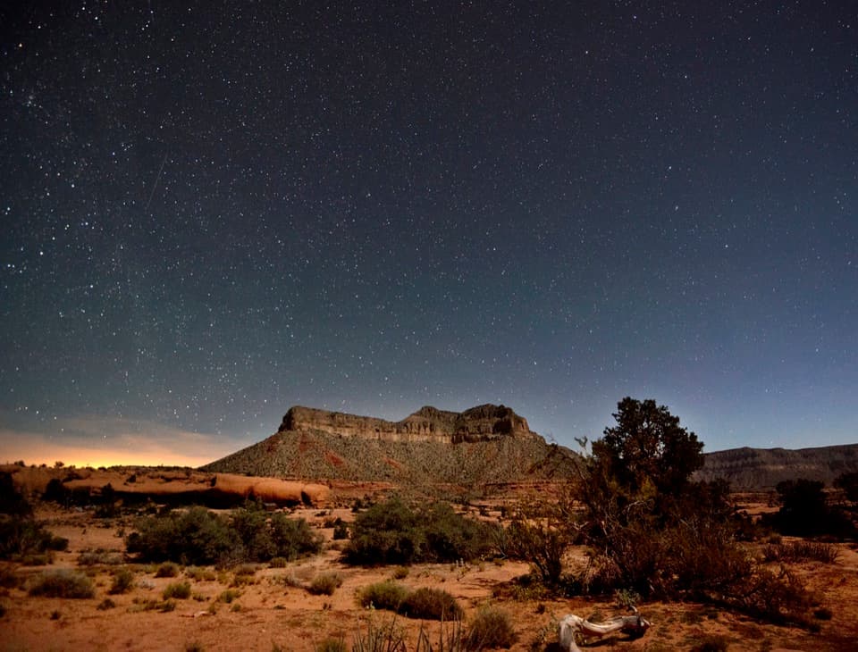
Sunrise and sunset are superb for photography, with long shadows and rich color across the walls. If solitude is your priority, aim for the slower months (roughly November–March). Always check weather and road conditions; rain or winter storms can render roads impassable.
Should you go?
If you’re up for a serious backroad adventure and total self-reliance, Toroweap is unforgettable—quiet, intense, and geologically fascinating. If you prefer easy pavement and services, skip it and stick to the main rims.
Where it is
36.2475, -113.0558Tips for Toroweap Overlook
- 01Secure a day-use permit in advance and bring your park pass and ID.
- 02Carry a robust tire kit: good spare, plug kit, and a portable compressor.
- 03If you lack true high clearance, park before the rough final section and hike the last 2.7 miles.
- 04Bring all water, food, and emergency supplies—there are no services or fuel.
- 05Time your visit for sunrise or sunset for the best light and cooler temps.
Amenities
Near Toroweap Overlook
All places →All trails →
1.1 mi awayTuckup TrailRemote Esplanade traverse with big views, scarce water, zero crowdsChallenging · 100 mi · 216 hr
1.7 mi awayTuweep CampgroundRugged, permit-only rim camp beside jaw-dropping Toroweap OverlookTrailhead · Restroom
2.3 mi awayTuweep (Toroweap) OverlookRemote rim perch with a 3,000-foot drop straight to the riverTrailhead · Restroom
2.3 mi awayVulcan's ThroneRemote cinder cone with big views above Lava Falls RapidsScenic Viewpoint
2.7 mi awayTuweep Ranger StationRemote gateway to Toroweap’s sheer 3,000‑ft river viewRanger Station · Parking
2.9 mi awayLava Falls RouteBrutally steep rim to river plunge to roaring Lava Falls RapidChallenging · 4 mi · 6 hr
10.8 mi awayWhitmore TrailSteep, short drop from remote North Rim to Whitmore Rapids.Challenging · 2 mi · 2 hr
34 mi awayKanab Creek TrailRemote slots, spring-fed oases, and a gritty creek slog to the riverChallenging · 45 mi · 120 hr