
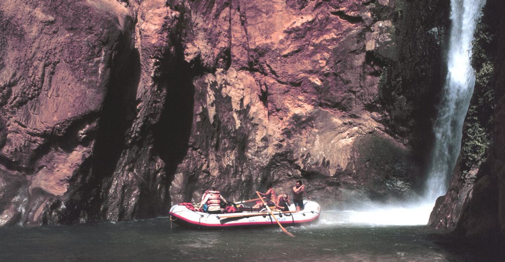
Place · 8.5 mi away
Challenging
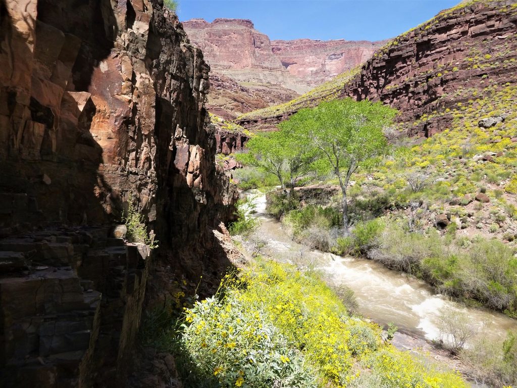
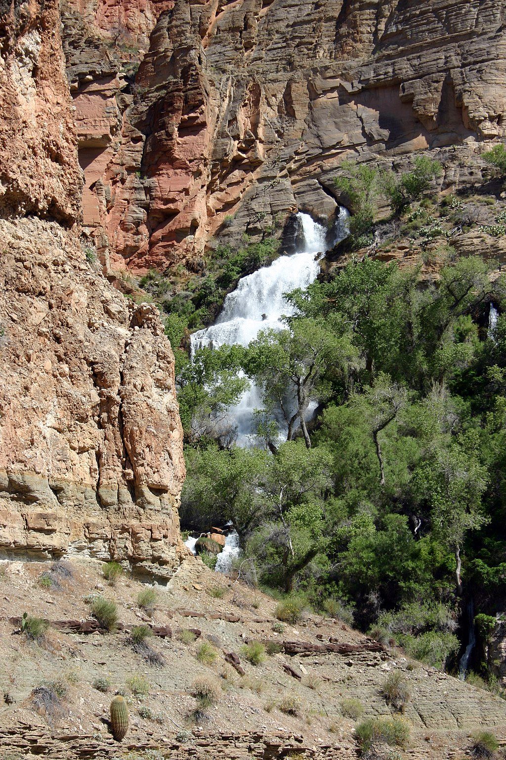
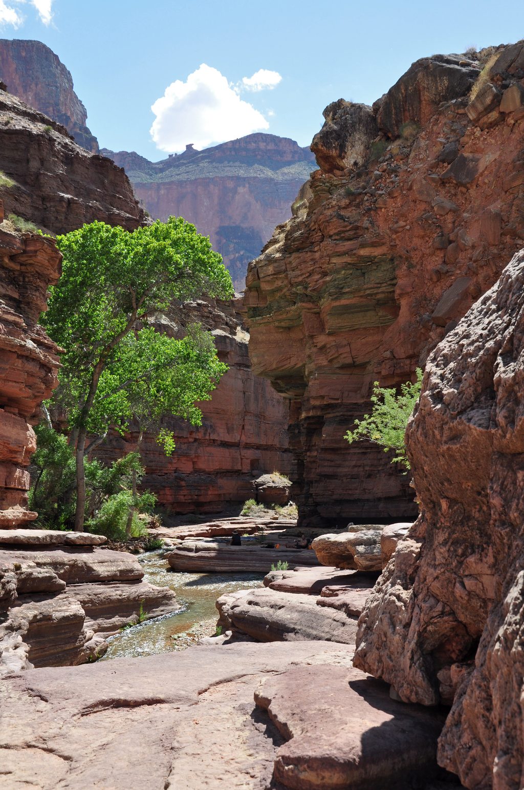
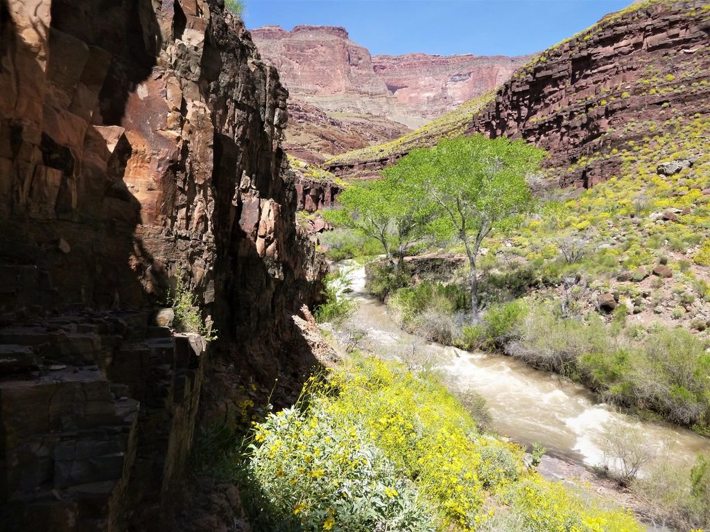
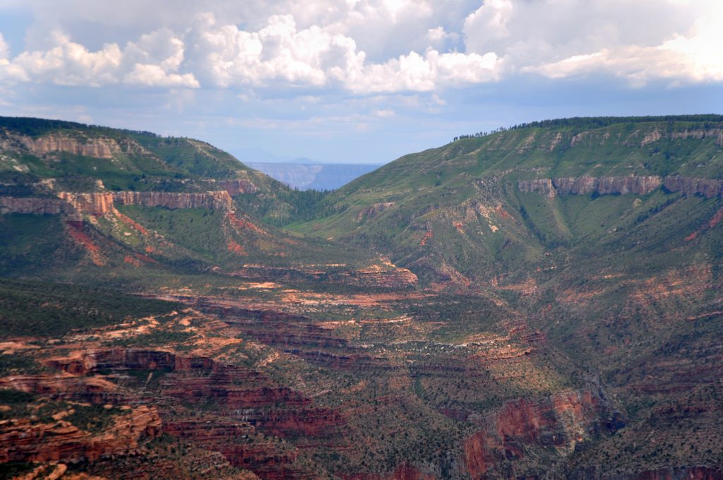
Kanab Creek is not a manicured path—it’s a rugged, mostly unmaintained wilderness route that follows a major North Rim tributary all the way to the Colorado River. You’ll thread narrow slot sections like Jumpup Canyon, stare up at sheer limestone walls, and weave past spring-fed oases that feel wildly out of place in the desert. Expect long stretches of boulder-hopping, ankle-deep to knee-deep creek walking, and occasional scrambles. Crowd levels are low to nil; solitude is part of the magic here.
There isn’t one “official” mileage for this route. Common backpacking itineraries run roughly 40–50 miles total, depending on which entry/exit you choose. Some hikers keep it simpler and turn around before the river; others link Kanab Creek to Deer Creek and the Colorado for a full western-Grand-Canyon odyssey. Plan on multiple days—this is slow, strenuous travel even for fit, experienced parties.
This is very strenuous, advanced backcountry. The “trail” regularly disappears in the creek bed, where rough cobbles make for what many describe as a cheesegrater slog. Route-finding matters, especially on the approaches and at junctions near side canyons like Fishtail. After rains, turbidity spikes and pools deepen; be prepared for unavoidable wet feet and occasional deeper wades. Heat in summer is dangerous; winter brings cold nights and higher-elevation chill on the approaches.
Springs punctuate the canyon and are often reliable, but always verify conditions before you go and bring a robust filter—sediment can be high after storms. Camping is primitive on benches and sandy flats. Overnight trips within Grand Canyon National Park require a backcountry permit; plan ahead.
Most parties enter from the remote Jumpup–Nail Trailhead on the North Rim via long forest roads. It’s hours from services, so arrive fueled, self-sufficient, and ready for wilderness travel. Many backpackers combine Kanab Creek with Deer Creek and other nearby routes to touch the Colorado and craft loop or point-to-point itineraries.
Keep an eye out for desert bighorn sheep, canyon wrens fluting off the walls, rattlesnakes warming on sunlit ledges, chuckwallas, and even tree frogs near springs. The canyon also holds cultural history—ancient pictographs appear on some walls—so look, don’t touch.
Spring and fall are the sweet spots for manageable temperatures and enjoyable creek travel. Start early for shade in slot sections and softer light for photography. Summer heat can be hazardous, and winter can be very cold on the rim and in the canyon’s shadows.
Park at the remote Jumpup–Nail Trailhead on North Rim forest roads (Kaibab NF). Allow ample time for the long dirt-road approach; no services.
Flash floods, extreme heat, and cold are real hazards. Expect sustained creek travel, slippery rocks, and rough footing; sections may require scrambling and negotiating deep pools. Navigation is challenging, and permits are required for overnight trips inside the park.
Place · 8.5 mi away
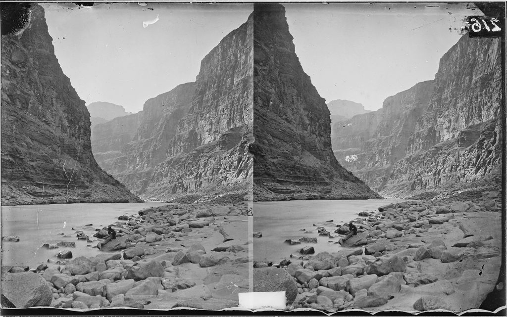
Place · 9 mi away
Place · 9.2 mi away
Place · 9.5 mi away
Challenging · 4.4 mi away
Challenging · 7.9 mi away
Challenging · 7.9 mi away
Challenging · 7.9 mi away

Parkwolf Tour Guide
