
Place · 0.6 mi away
Challenging
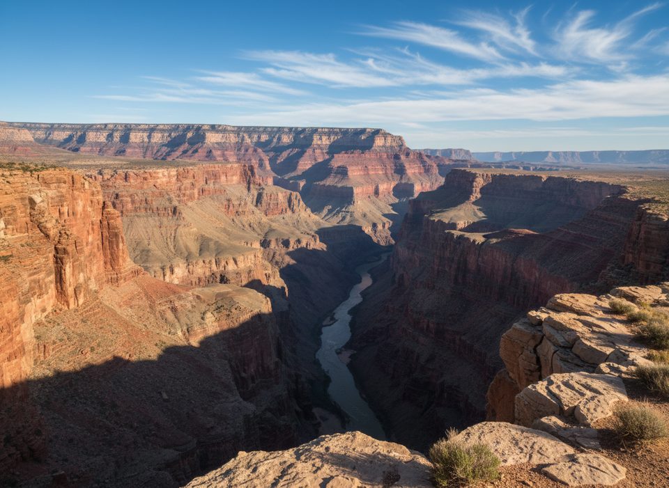
A committing, point-to-point backcountry traverse on the North Rim’s Esplanade bench from the Tuweep/Toroweap area toward 150 Mile Canyon. Most sources peg the full line at roughly 100 miles, but call it what it is: a route, not a neatly measured trail—expect your actual mileage to vary widely with detours and end-runs of side canyons.
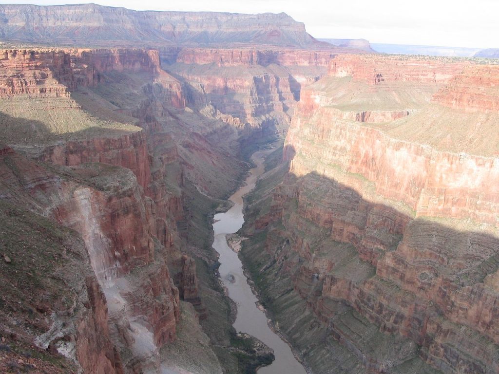
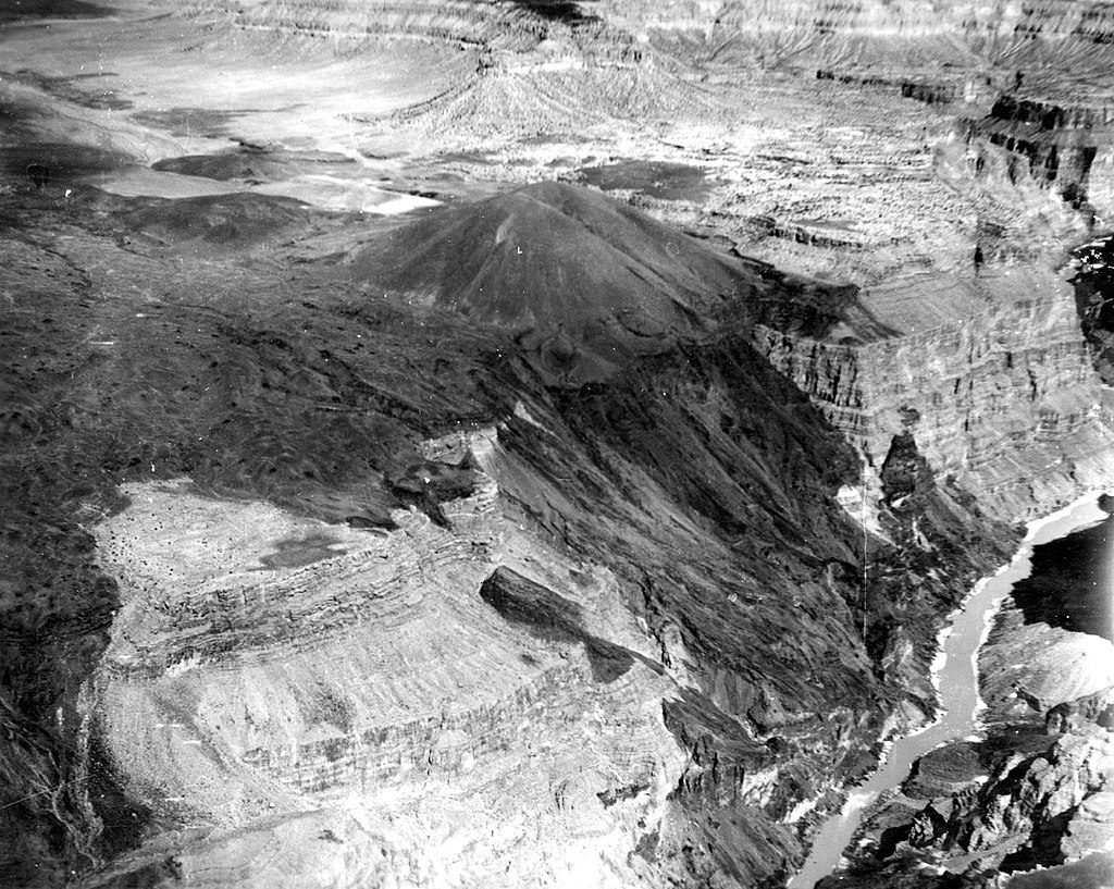
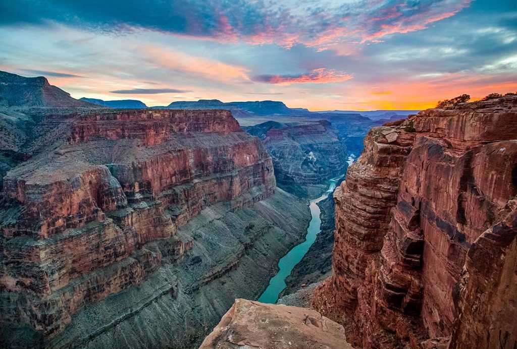
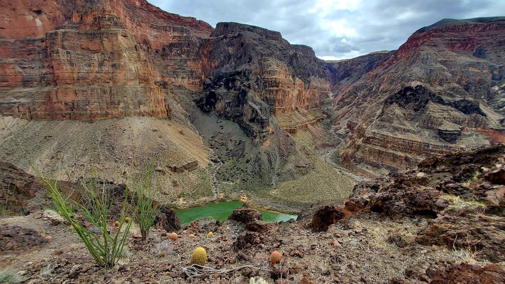
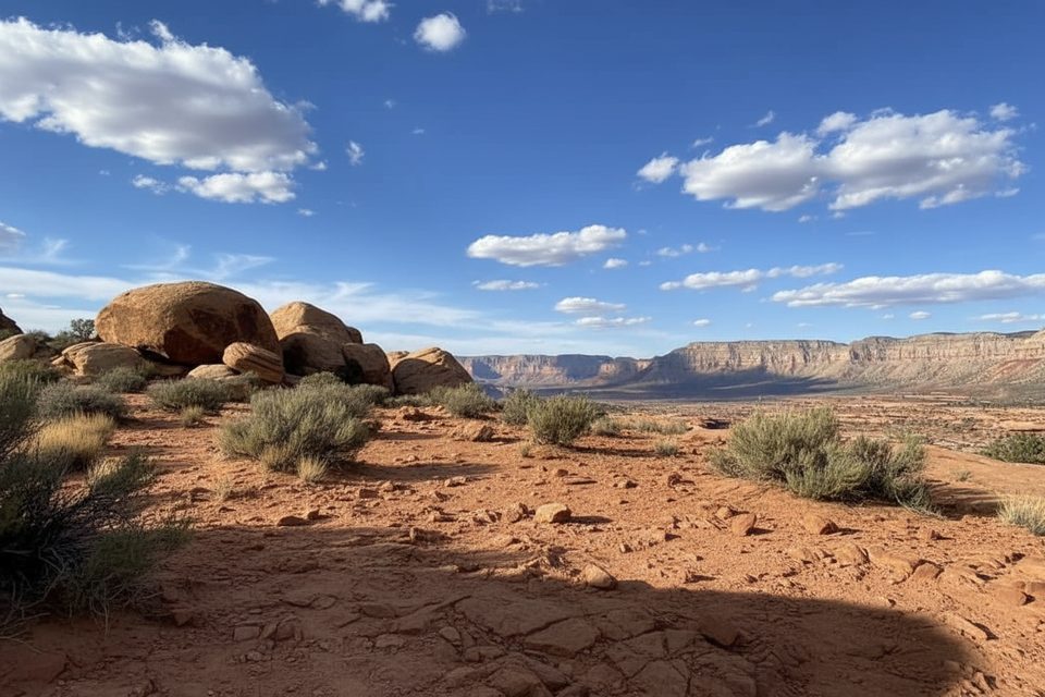
You’ll contour broad slickrock terraces and sandy benches beneath Toroweap and Big Point, weaving around a fractal maze of side canyons. The tread fades in and out; sometimes you’re on faint path, often you’re reading the land. Scenery is classic western Grand Canyon: long horizons, abrupt drop-offs, and volcanic drama—Vulcan’s Throne looms to the west and you can peer down toward Lava Falls Rapids. Keep an eye out for cowboy history (old camps and a historic fence line) and geology highlights like crinoid fossils near that fence crossing on the Esplanade.
Route-finding is the crux. Cairns come and go; you’ll repeatedly “end-run” side drainages to stay on the right layer. Carry real maps plus GPS and be ready to backtrack. Water is the other crux. This traverse is largely waterless. Schmutz Spring near the head of Tuckup Canyon is one of the few relatively reliable sources and can be easy to miss; other names that appear in trip logs (Cork Spring, Little Joe Spring, and potholes on the Esplanade) should never be trusted without current, first-hand info. Plan conservative carries and consider caching if allowed.
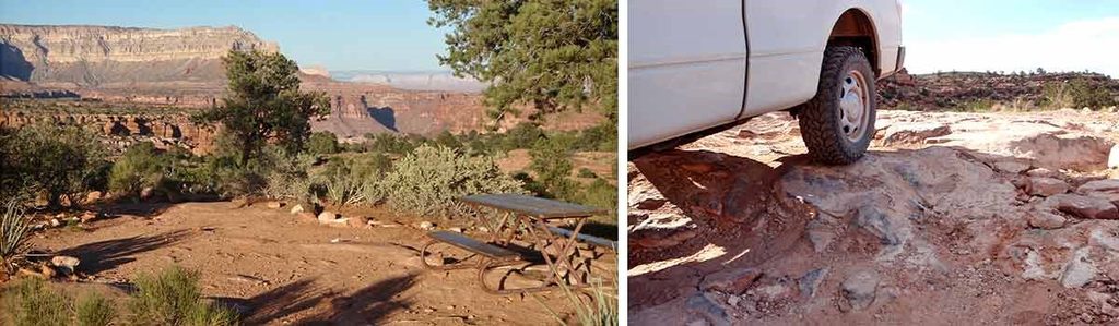
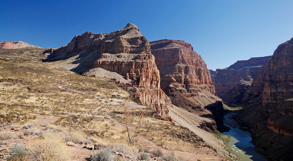
Reaching Tuweep/Toroweap requires long, rough dirt roads—high-clearance 4WD is often the smart call. Other access/exit points used by backpackers include the distinct trail to the rim near the head of Tuckup Canyon and Schmutz Spring Trailhead. There’s no official loop; most people run sections or arrange a shuttle for a through-hike. A full traverse often takes 7–12 days depending on water, detours, and pace.
Spring and fall are the windows. Summer heat on the Esplanade is brutal with almost no shade. Winter can shut down access with snow or greasy mud. If you’re hoping for pothole water, timing after precipitation helps, but the same storms can make the roads a headache.
This is a route for experienced, self-sufficient desert travelers who enjoy solitude, problem-solving, and carrying plenty of water. If you want a signed, maintained corridor with frequent water and easy exits, pick one of the park’s standard corridor routes instead. If you’re prepared for the commitment, the Tuckup rewards you with wild quiet and big country few people ever see.
Access from the Tuweep/Toroweap area or other Esplanade entry points like the Schmutz Spring Trailhead; all require long, rough dirt roads—plan for high-clearance 4WD and arrange a shuttle for a point-to-point.
Remote, unmarked route with complex navigation, scarce water, and no cell service. Rescues take time. Roads to Tuweep can be impassable after storms. Carry detailed maps/GPS and ample water; know exact locations of any springs or caches.
Place · 0.6 mi away
Place · 1.1 mi away
Place · 1.2 mi away
Place · 1.2 mi away
Challenging · 1.8 mi away
Challenging · 9.8 mi away
Challenging · 34.9 mi away
Challenging · 35.9 mi away

Parkwolf Tour Guide
