
Place · 0.6 mi away
Challenging
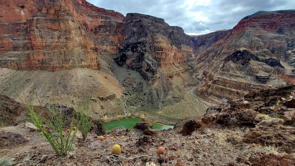
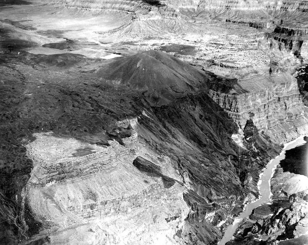
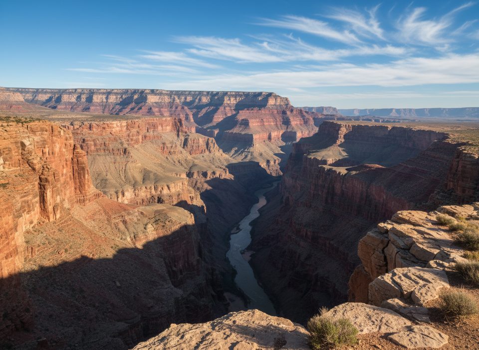
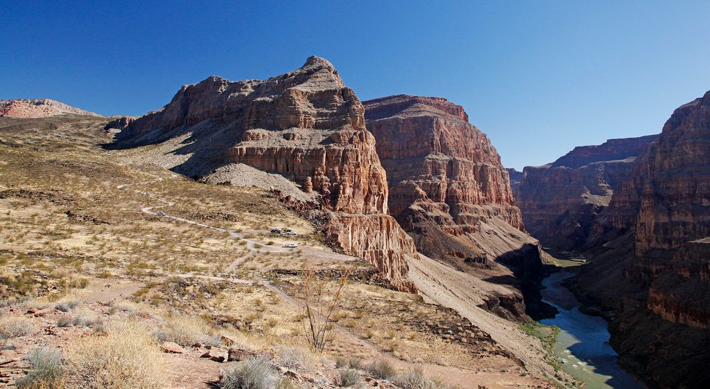
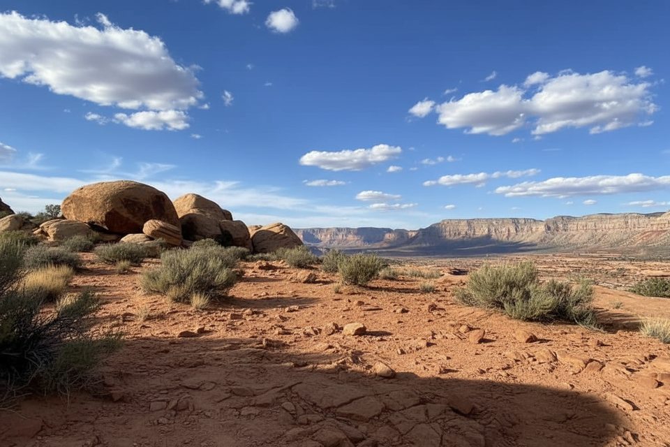
This is the Grand Canyon’s shortest rim-to-river descent and easily one of its nastiest. The Lava Falls Route drops off the North Rim near Toroweap/Vulcan’s Throne, plummeting roughly 2,500 feet through black basalt and loose scree to the Colorado River at the legendary Lava Falls Rapid. Expect an unmaintained, cairned route with minimal switchbacks, big views, and constant consequences underfoot. It’s spectacular—red walls, dark lava, the green river—but absolutely not for casual hikers.
Plan for about 2 miles one way (approximately 4 miles round trip). That short distance hides brutal terrain: rolling, unstable volcanic rubble and ledgy basalt where hands may come out for balance. Route-finding matters; there are cairns, but multiple faint tracks can mislead. Footing is the real crux here—sharp, shifting rock will punish flimsy shoes. At the bottom, the payoff is visceral: the thunder of one of the river’s most famous rapids and a front-row view of the volcanic geology that helped shape it.
This is an expert-only outing. The climb out is relentlessly steep, the footing is treacherous, and rescue is difficult and slow in this remote corner of the park. Rattlesnakes and scorpions are present—watch where you place hands and feet. Start early, wear real boots with excellent grip, bring far more water than you think you need, and be prepared to navigate if cairns vanish.
Access is via the Tuweep/Toroweap area on rough roads; high-clearance 4WD is typically recommended. A Tuweep day-use vehicle permit is required to drive in. Day hiking does not require a backcountry permit, but any overnight below the rim does. Pets are not allowed below the rim on this route.
Late September through early November is the sweet spot for cooler temperatures and safer conditions. Spring and late fall can also work. Summer is extremely hot and dangerous here due to full sun and heat-absorbing lava—don’t attempt it. Winter access depends on road conditions; storms can make the approach impassable.
Bottom line: if you’re a highly experienced desert hiker who craves a savage, geologically unique descent with a roar-of-the-river finale, this route delivers. If you want a moderate, maintained trail, look elsewhere.
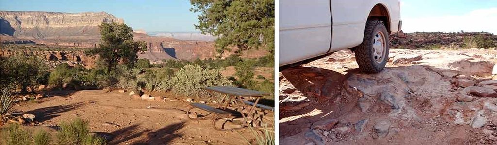
Park at the Lava Falls Trailhead near Toroweap Overlook in the Tuweep area. High-clearance 4WD approach; Tuweep day-use vehicle permit required. No facilities; nearest restrooms are at Toroweap Overlook and Tuweep Campground.
Extremely steep, unmaintained volcanic route with loose scree and ledges; intense sun exposure; no water until the river; rattlesnakes and scorpions; navigation by cairns with occasional faint tracks; remote area with slow rescue.
Place · 0.6 mi away
Place · 1 mi away
Place · 1.5 mi away
Place · 1.5 mi away
Challenging · 1.8 mi away
Challenging · 8 mi away
Challenging · 36.6 mi away
Challenging · 37.6 mi away

Parkwolf Tour Guide
