
Place · 7.5 mi away
Challenging
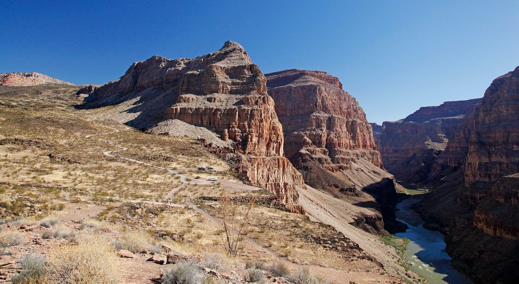
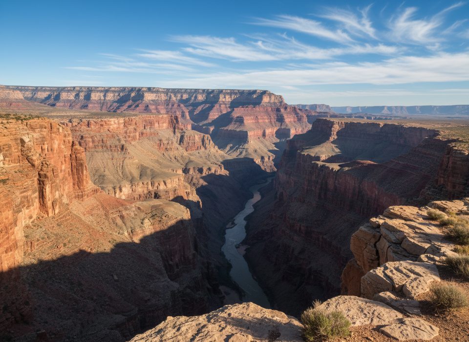
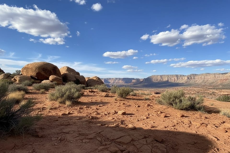
This is the Grand Canyon’s quick hit to the Colorado River: a short, very steep descent from the Whitmore Overlook/helipad on the North Rim down to Whitmore Wash and the river near Whitmore Rapids. Expect big western‑canyon views right away, then a fast plunge through classic cliff‑and‑bench terrain to broad river scenes and the river‑runner hub at the bottom. The round‑trip is about 2.0 miles with roughly 1,000 feet of elevation loss/gain—short on miles, long on grade.
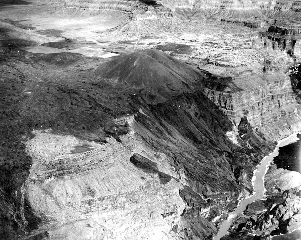
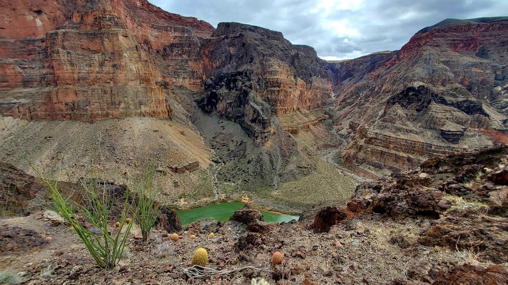
What you’ll see: sweeping vistas of a seldom‑visited corner of the canyon, the broad river corridor at river mile ~187, and volcanic storytelling everywhere—basaltic lava flows and cinder‑cone country contrast against the red and ochre sedimentary walls. Up high, look for ancient pinyon and juniper dotted along the rim. Down low, you’ll likely encounter rafting groups staging on the beaches; helicopter activity near the rim is normal here due to outfitter exchanges.
Trail character: rugged, rocky tread with loose stones and little to no shade. The route is cairned and not maintained to corridor‑trail standards. It’s not technically complex, but the climb out is sustained and exposed. Trekking poles and real footwear pay off.
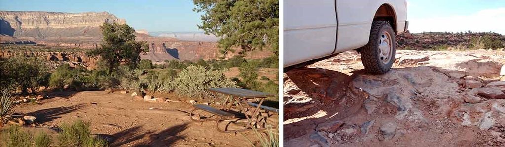
Access and parking: reaching the trailhead is half the adventure. You’ll drive a long, rough dirt road across the Arizona Strip (Whitmore Canyon/River Road area) to the Whitmore Overlook/helipad. High‑clearance is recommended; there are no services or cell coverage. Park by the overlook/helipad area and start down the obvious cairned path.
Who will love it: hikers and river runners who want a true rim‑to‑river experience without a full‑day grind, geology‑nerds chasing lava‑meets‑canyon scenery, and solitude seekers—once the river groups drift off, it’s quiet down there. Who won’t: anyone uncomfortable with remote driving, summer heat, or steep, loose descents.
Best time to hike: spring and fall for milder temps. Summer is brutally hot and exposed—start at dawn, carry more water than you think, and turn around early if heat builds. Winter can be pleasant but cold; storms can make the access roads impassable.
Logistics and permits: day hiking the Whitmore Trail does not require a permit. Overnight camping below the rim or river trips do. Pets are not allowed below the rim on park trails.
Tips: start uphill early to beat the heat; bring ample water, sun protection, and navigation basics. Expect helicopter noise near the rim. If you’re driving in, consider a stop at the historic Mt. Trumbull Schoolhouse en route.
Park at the Whitmore Overlook/helipad area at the end of the rough Arizona Strip dirt road; high‑clearance vehicle recommended. No services.
Extreme heat and full exposure; no water or shade. Steep, loose footing. Very remote with rough access roads and no cell coverage. Expect occasional helicopter operations near the rim.
Place · 7.5 mi away
Place · 8.6 mi away
Place · 9.4 mi away
Place · 9.6 mi away
Challenging · 8 mi away
Challenging · 9.8 mi away
Challenging · 44.7 mi away
Challenging · 45.6 mi away

Parkwolf Tour Guide
