
Place · 0.6 mi away
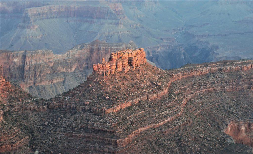
The Battleship is the long, narrow butte you see from the Bright Angel corridor, but it’s far more exciting up close. Reached by leaving the Bright Angel Trail and crossing a broad bench, it finishes with an exposed class 3 scramble to a true summit. Expect solitude, a bit of spice, and a big sense of payoff.
Its ship-like profile, Redwall Limestone cliffs, and orange-red Supai slopes make it stand out in photos and in person. Unlike the busy corridor, the butte itself sees little traffic—perfect if you want a rugged objective right beside the park’s most popular trail.
Most parties descend the Bright Angel Trail roughly 2 miles to a large switchback around 5,400 ft, leave the trail, head north to a wide bench, and traverse to the base. From there, it’s hands-on scrambling with narrow ledges and short chimneys to the conning‑tower high point. Navigation can be confusing—expect to hunt for the line and be willing to turn around if it doesn’t feel right.
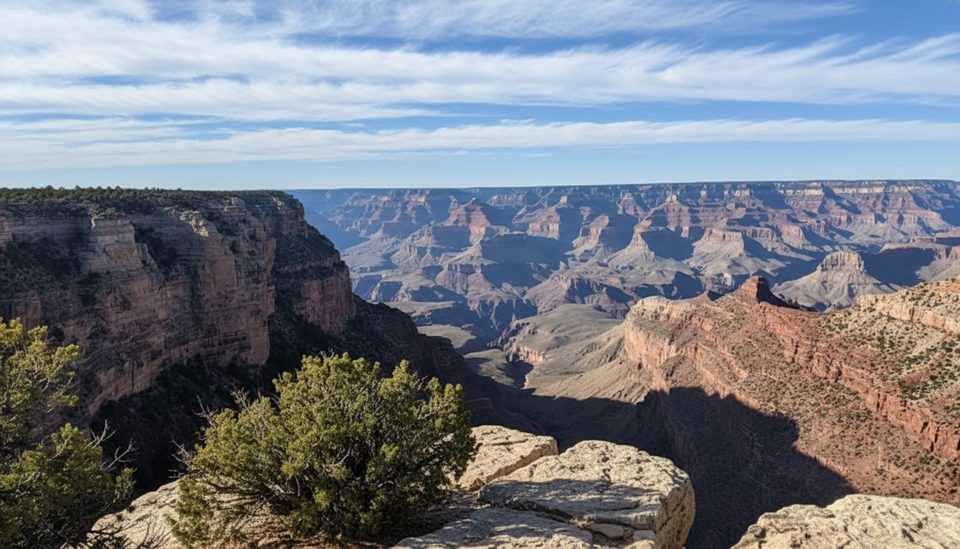
From the top you’ll get sweeping looks into Garden Creek Canyon, across the South Rim, and up-canyon toward the Colorado River. You’ll also get up-close geology—Redwall cliffs capped by Supai redbeds—and, if you’re lucky, a bighorn sheep sighting near the rim below the summit.
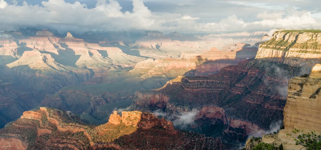
The butte is a favorite subject from the rim in warm light—sunset glow really flatters its profile. On the summit itself, midday heat can be punishing; early and late light are kinder for both photos and comfort.
This is a strenuous, exposed, off‑trail outing with no facilities. Carry ample water (think 3+ liters per person in warm seasons), sun protection, food, and a detailed route description or GPS track you understand how to use—don’t blindly follow a line. Some scramblers like light gloves for the chimneys. Do not carve names at the summit; use any register instead.
Start at dawn to beat heat and corridor crowds. Spring and fall bring the best combo of cooler temps and stable conditions. For rim shots of the butte, sunset light is superb; for the scramble itself, early morning is safest and most pleasant.
Place · 0.6 mi away
Place · 0.6 mi away
Place · 0.7 mi away
Place · 0.7 mi away
Easy · 1.3 mi away
Easy · 1.3 mi away
Easy · 2.7 mi away
Easy · 3.2 mi away

Parkwolf Tour Guide
