Place · 0.3 mi away

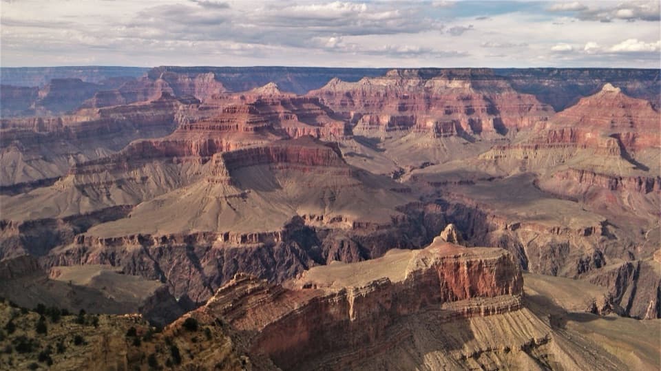
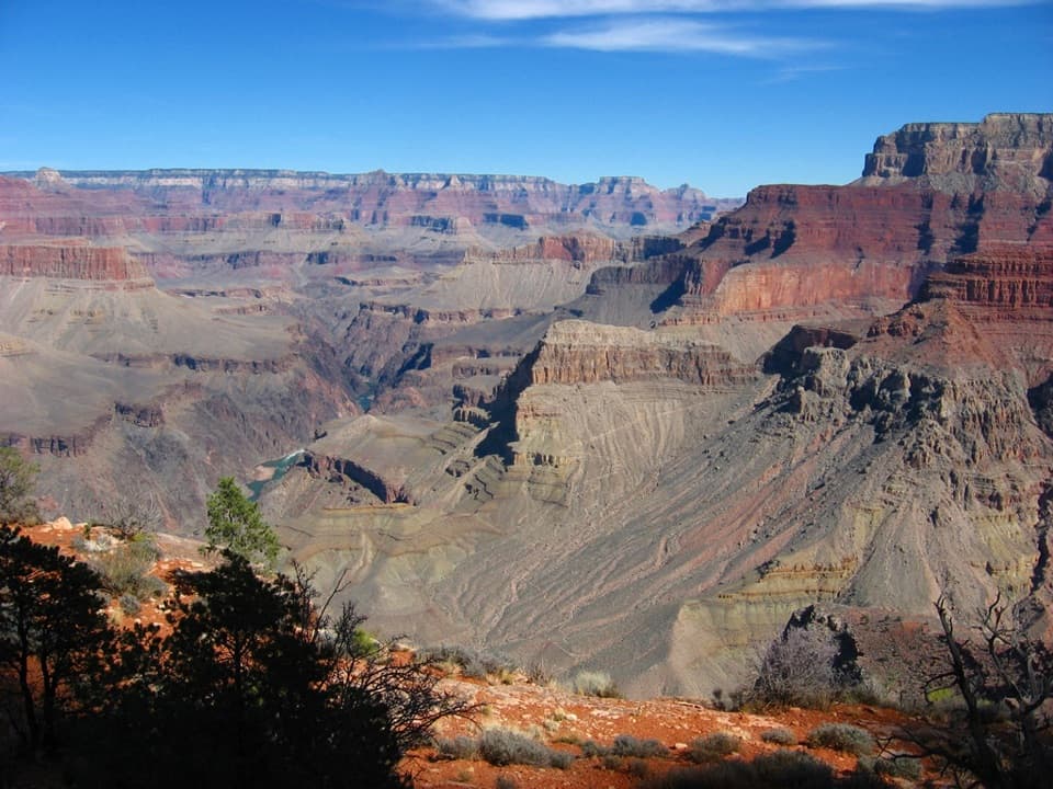
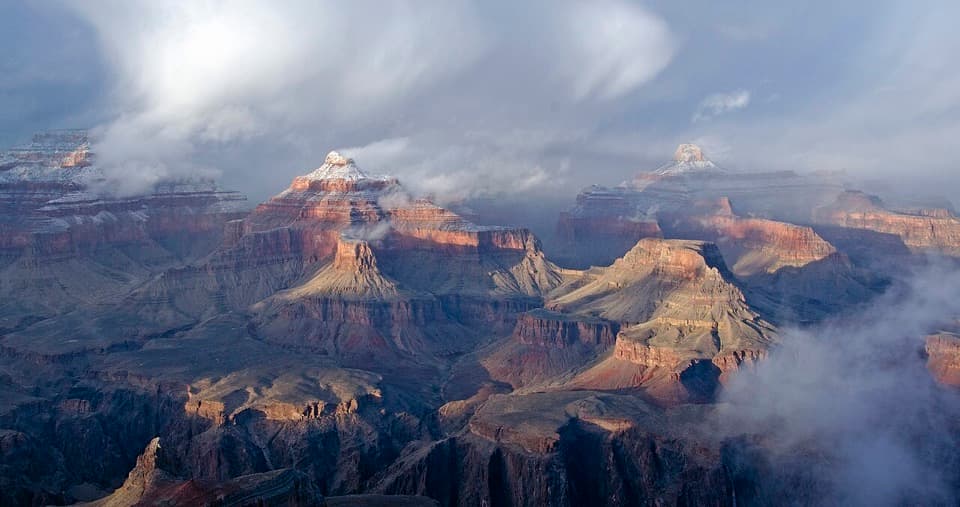
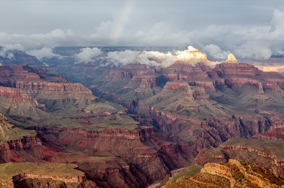
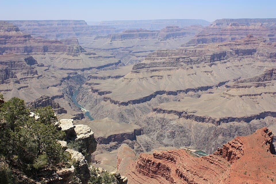
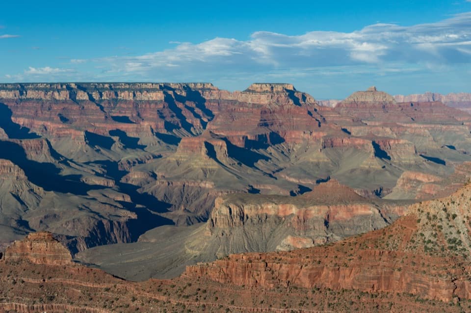
Maricopa Point juts into the canyon along Hermit Road, just west of the Village. The point itself is a slim finger of rim rock that delivers a sweeping, more‑than‑180° view in both directions. It’s a quick stop with big payoff—classic South Rim vistas with fewer people than the headline overlooks.
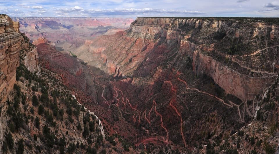
From the tip, expect wide‑open views across layered walls and buttes, with a peek at the Colorado River in places. Look for the Battleship and Dana Butte below, the Tonto Trail cutting across terraces, and even parts of the Bright Angel Trail. It’s one of the better spots near the Village for a panoramic photo without much foreground clutter.
Immediately west of the point sits the old Orphan Mine, once a copper and later uranium operation (mining ceased in 1967; the park acquired the land in 1987). You can spot fenced areas, cables, and other remnants from the rim, along with interpretive signs. The National Park Service continues restoration here, and there are known “hot spots” from historic uranium ore—heed signs and stay on the official path.
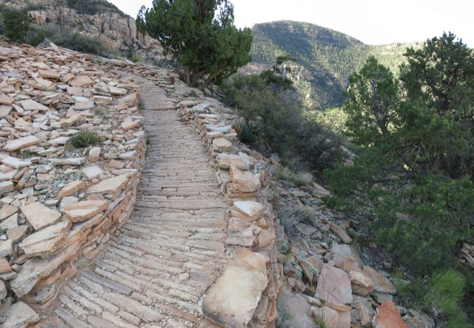
Hermit Road is served by the free Red Route shuttle, and Maricopa Point is one of the early westbound stops from the Village. The paved Rim Trail also connects the Village to Maricopa Point and onward to other overlooks. Note: eastbound buses don’t pick up here—continue one stop west to Powell Point to return east.
If you’re working your way west, this is a strong, quick stop—especially if you like a clean panorama and a little human history mixed in. Some travelers find views get even grander at Hopi Point farther west, so if time is tight, plan accordingly.
Nothing here is uniquely different from the rest of the South Rim, but you may spot ravens riding thermals, lizards sunning on rocks, and mule deer browsing near the Rim Trail. Bring binoculars if you’re scanning for birds.