Pros & cons
PROS
- Hidden willow-lined oasis in otherwise dry country
- Serious solitude for experienced backcountry hikers
CONS
- No trail or facilities; difficult cross-country access
- Flow can be unreliable and affected by cattle
Overview
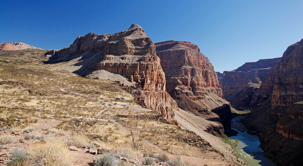
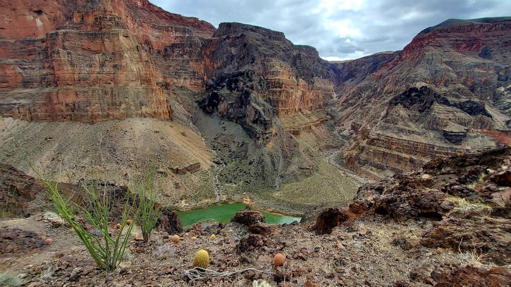
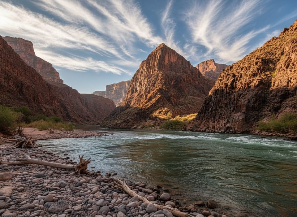
Tincanebitts Spring is a little-known backcountry water source in a remote corner of the park. It’s mentioned mainly in old hiking logs and niche trip reports, which tells you how rarely people come here. Expect zero development, big quiet, and a surprising pocket of green.
What You'll See
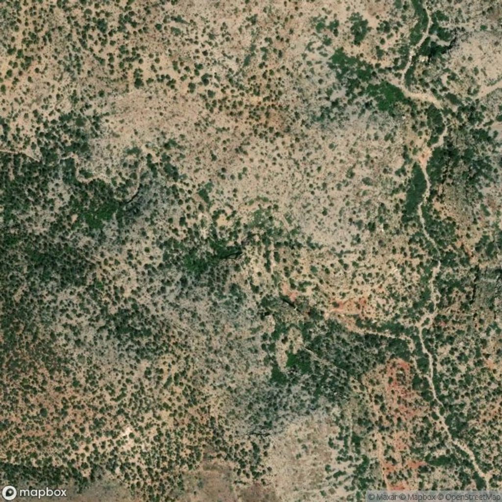
- A small riparian patch marked by willows—rare greenery that gives away the water.
- Two sources: an upper spring reportedly reached by a faint, manmade path, and a lower spring that takes a short scramble off-route.
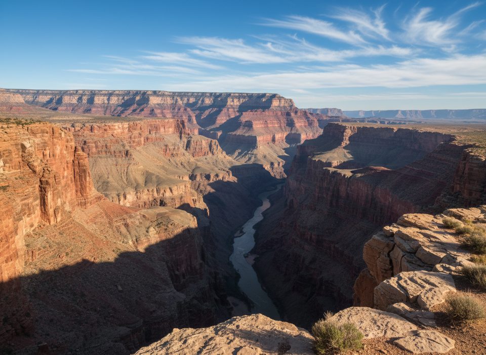
- Classic piñon–juniper country dotted with prickly pear and banana yucca, with wide-open rim-and-butte views in the broader area.
- Ranching remnants like old hardware and signs of past cattle use.
Access & Difficulty
There’s no maintained trail and no road access. Getting here means cross-country navigation, picking lines down washes, and occasional steep, loose terrain. It’s a spot for confident navigators who are comfortable traveling off-trail and problem-solving on the fly.
Water Reality Check
Treat any water you collect—cattle use has been noted and quality is not guaranteed. Flow is seasonal and uncertain; never plan your route around this being your only source. Carry enough to backtrack if it’s dry and bring robust treatment.
Wildlife
You may encounter or see sign of free-ranging cattle. Typical desert wildlife in the area includes mule deer, small mammals, reptiles, and birds like ravens and hawks that frequent springs as oases.
Low-Key History
The spring shows hints of ranching-era development, with evidence it was tapped to water livestock. Don’t expect signage or interpretation—this is purely a read-the-landscape experience.
Fragile Ground
Cryptobiotic soils are present. Stick to durable surfaces—washes, rock, or already-disturbed paths—to avoid damaging vital crusts that hold this desert together.
Best Time to Visit
Aim for cooler seasons and early/late daylight for more forgiving travel and better light. Weekdays amplify the solitude, though this spot rarely sees anyone regardless.
Where it is
36.1180, -113.7030Tips for Tincanebitts Spring
- 01Do not rely on it—carry enough water to reverse course if dry.
- 02Always filter or treat; cattle use can impact water quality.
- 03Bring topo maps and GPS—there are no maintained trails or signs.
- 04If camping, use pre-impacted sites and get a backcountry permit.
- 05Travel on rock or in washes to avoid damaging cryptobiotic crusts.
Near Tincanebitts Spring
All places →All trails →
21.6 mi awaySeparation RapidsMellow rapid with a heavyweight place in Powell expedition lore
28.1 mi awayWhitmore TrailSteep, short drop from remote North Rim to Whitmore Rapids.Challenging · 2 mi · 2 hr
29.8 mi awayTravertine RapidsSpring-fed travertine grotto and falls hidden above a mellow rapid
35 mi awayLava Falls RapidsGrand Canyon’s legendary Class 10 rapid and rite of passage for boaters
35.2 mi awayLava Falls RouteBrutally steep rim to river plunge to roaring Lava Falls RapidChallenging · 4 mi · 6 hr
35.6 mi awayVulcan's ThroneRemote cinder cone with big views above Lava Falls RapidsScenic Viewpoint
36.6 mi awayTuckup TrailRemote Esplanade traverse with big views, scarce water, zero crowdsChallenging · 100 mi · 216 hr
70.2 mi awayKanab Creek TrailRemote slots, spring-fed oases, and a gritty creek slog to the riverChallenging · 45 mi · 120 hr