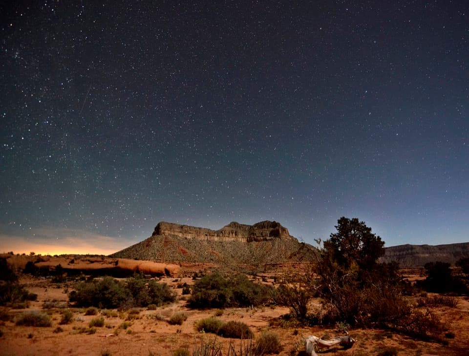
Parking
Start at the signed trail access near Tuweep Campground, close to campsite 5. The other approach is from the road between the campground and Toroweap Overlook; use established parking.
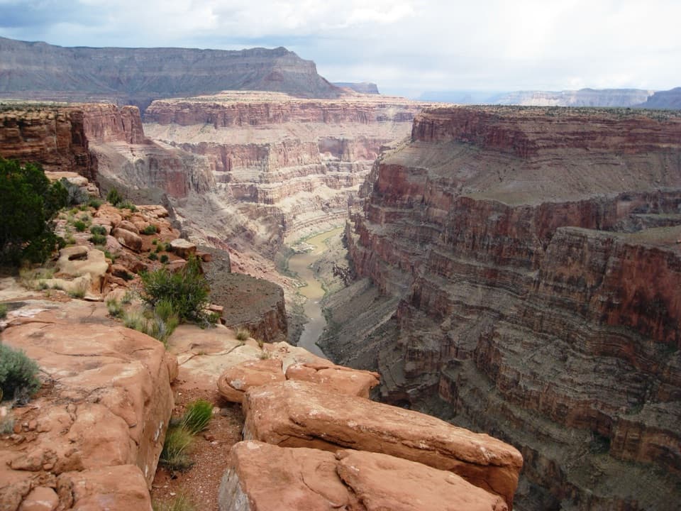
Grand Canyon National Park, AZ
Follow cairns across slickrock to a broad Colorado River view.
Overview
Map & elevation
Plan your hike

The highest, rockiest slopes around here are a summer buffet for grizzly bears.
Grand Canyon Tour Guide
Parkwolf is a GPS audio tour guide for Grand Canyon National Park. As you drive, it chimes in with what’s ahead: hidden gems, upcoming stops, history, geology, and wildlife, right through your car’s speakers.
See the Grand Canyon audio tour“Fantastic app with many points of information… It’s great to just turn on while you’re driving and it gives you an audio tour of the national Park. We love it!!!!”


Trail guide
Saddle Horse Loop is a short, open high-desert circuit above the Colorado River, crossing sandstone and scrub between native plant gardens and a canyon-rim view. The measured circuit here is 1.67 miles, including the mapped dirt-road return to the campground; allow 45–60 minutes. The route is exposed, with little shade.
Access is described from the road between Toroweap Overlook and Tuweep Campground, or from a signed trailhead near campsite 5. An older mapped trail line starts near site 4 and ends at Toroweap Road. The loop in this record joins that line to the visible access track back toward camp. Published distances differ: a visitor map labels the walk 0.9 mile, while this full mapped circuit measures 1.67 miles. Follow the local sign and cairns, and confirm the marked return before setting out.
The plant gardens and dark biological soil crust are part of the walk's main appeal. Crust helps hold soil and nutrients; a single inch can represent about ten years of growth and erosion. Stay on established tread, roads, or bare sandstone so each footstep does not break the crust. Wildflowers can be especially abundant after a wet winter.
Volcanism along the Toroweap Fault began about seven million years ago, and later lava flows repeatedly dammed the Colorado River. From this shelf, the river lies far below canyon walls carved over a much older span of time.
Wildlife
 718 sightingsCalifornia CondorMost seen around 5 PMSighting map
 533 sightingsBighorn SheepMost seen around 7 AMSighting map
 169 sightingsAmerican BisonMost seen around 7 PMSighting map
 1,891 sightingsElkMost seen around 6 AMSighting map
 59 sightingsCoyoteMost seen around 6 PMSighting map
 27 sightingsGray FoxMost seen around 6 AMSighting map
Sighting maps show where each species has been reported across Grand Canyon. Wildlife moves, so no sighting is guaranteed.
Keep exploring
 ModerateTuckup Trail to Cove Canyon6 mi · 4 hr · 0.6 mi awayOpen Esplanade slickrock leads to wide Cove Canyon views.
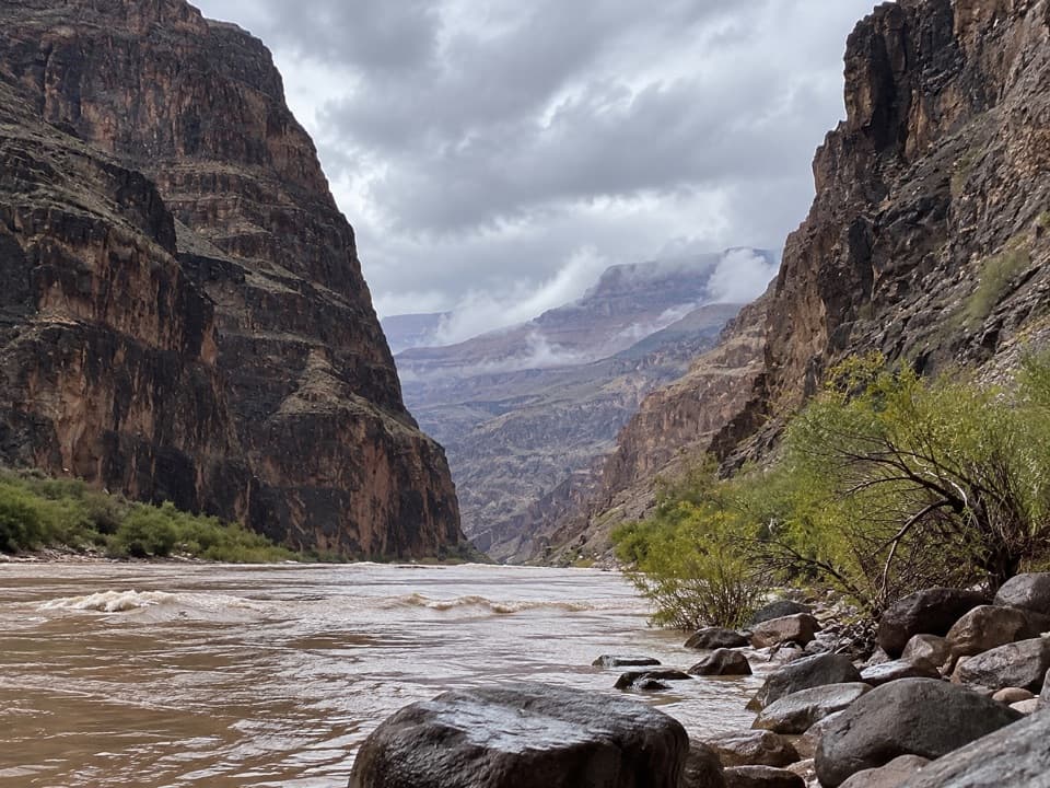 ChallengingLava Falls Trail3 mi · 8 hr · 1.5 mi awayA steep, loose descent to the Colorado through volcanic canyon country.
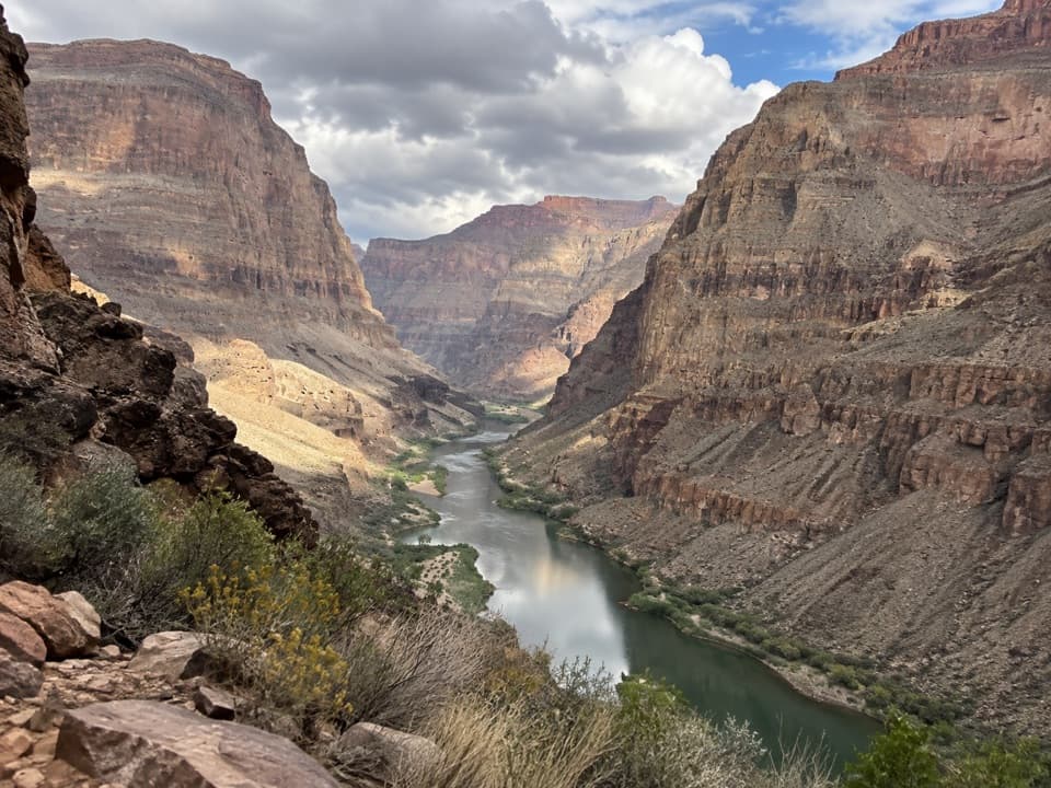 ChallengingWhitmore Trail2 mi · 2.5 hr · 9.2 mi awayA steep river-to-rim climb for Colorado River trips.
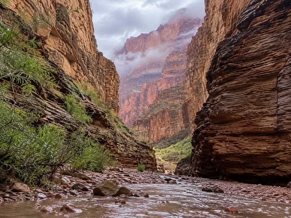 ModerateNational Canyon (River Access)1.2 mi · 1.5 hr · 9.6 mi awayA short river-side walk to limestone narrows and pools.
 ChallengingSchmutz Spring Trail4.2 mi · 4 hr · 10.9 mi awayA steep 1,300-foot descent into Tuckup, with a long dirt-road drive.
Parkwolf’s Grand Canyon ranking

The audio tour guide for the drive, plus offline maps, trails, and wildlife heatmaps for when the signal drops.