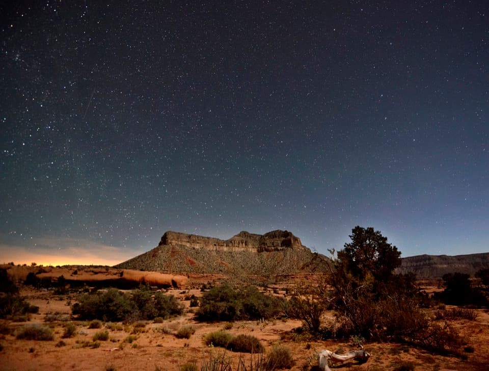
Parking
Use the signed Tuckup access north of Tuweep Campground; campers can also join from site 10. The long, unpaved approach requires a high-clearance vehicle.

Grand Canyon National Park, AZ
Open Esplanade slickrock leads to wide Cove Canyon views.
Overview
Map & elevation
Plan your hike

The highest, rockiest slopes around here are a summer buffet for grizzly bears.
Grand Canyon Tour Guide
Parkwolf is a GPS audio tour guide for Grand Canyon National Park. As you drive, it chimes in with what’s ahead: hidden gems, upcoming stops, history, geology, and wildlife, right through your car’s speakers.
See the Grand Canyon audio tour“Fantastic app with many points of information… It’s great to just turn on while you’re driving and it gives you an audio tour of the national Park. We love it!!!!”


Trail guide
Tuckup Trail to Cove Canyon is a remote out-and-back over open Esplanade slickrock. Published trail information describes 3 miles to Cove Canyon and 6 miles round trip. The detailed line we traced is about 3.6 miles each way, so allow for roughly 7 miles if you follow the full mapped route. This entry covers the local day hike; the primitive Tuckup corridor continues farther beyond it. Plan on about four hours, plus time to stop.
The park describes this as a former prospector's path across Esplanade slickrock. Cairns mark the trail, and the destination is Cove Canyon with broad inner-canyon views. The exact turnaround marker and individual view openings are not identified, so follow the marked route and turn back at the canyon rather than continuing onto the longer corridor.
Shade is scarce and there is no water on the trail. Carry what you need for the full walk and leave extra time for the exposed slickrock. Stay on the trail, rock, or washes: footsteps can damage the fragile biological soil crust. Pets, bicycles, and vehicles are not allowed on Tuweep's established trails.
Use the signed Tuckup access north of Tuweep Campground; campers can also join from site 10. Tuweep day use requires a permit. The unpaved approach takes at least three hours one way from AZ 389 and requires a high-clearance vehicle. There is no food, fuel, lodging, phone service, or water at Tuweep; the campground has composting toilets, away from the trail.
Saddle Horse Loop is a separate 45-minute walk with Colorado River views. It is a better fit if you want a brief outing instead of the remote Tuckup hike.
Wildlife
 718 sightingsCalifornia CondorMost seen around 5 PMSighting map
 533 sightingsBighorn SheepMost seen around 7 AMSighting map
 169 sightingsAmerican BisonMost seen around 7 PMSighting map
 1,891 sightingsElkMost seen around 6 AMSighting map
 59 sightingsCoyoteMost seen around 6 PMSighting map
 27 sightingsGray FoxMost seen around 6 AMSighting map
Sighting maps show where each species has been reported across Grand Canyon. Wildlife moves, so no sighting is guaranteed.
Keep exploring
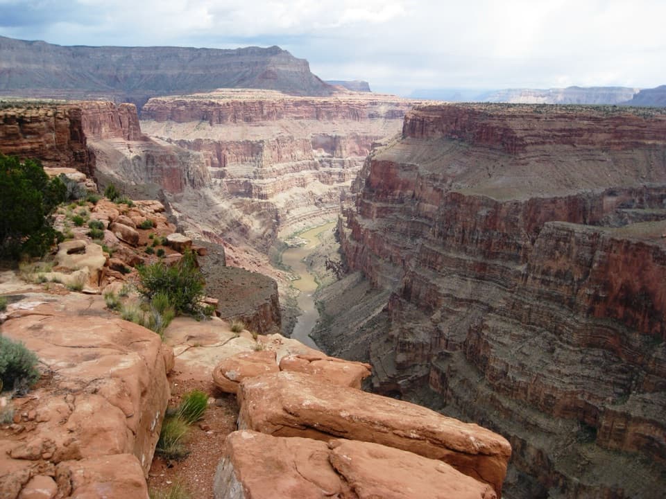 EasySaddle Horse Loop Trail1.7 mi · 1 hr · 0.6 mi awayFollow cairns across slickrock to a broad Colorado River view.
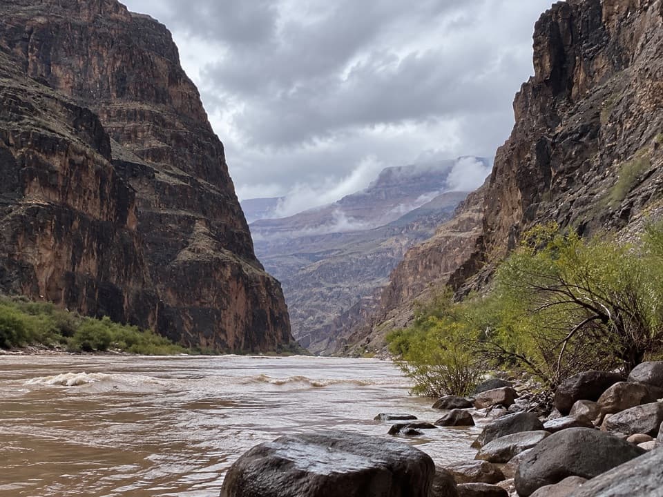 ChallengingLava Falls Trail3 mi · 8 hr · 1.8 mi awayA steep, loose descent to the Colorado through volcanic canyon country.
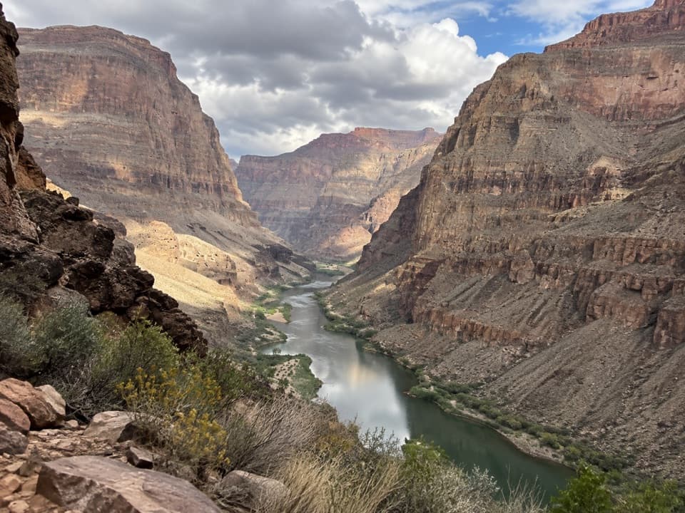 ChallengingWhitmore Trail2 mi · 2.5 hr · 9.4 mi awayA steep river-to-rim climb for Colorado River trips.
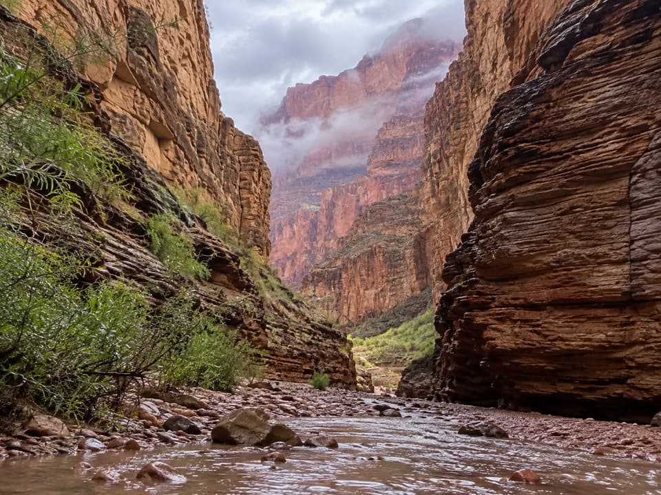 ModerateNational Canyon (River Access)1.2 mi · 1.5 hr · 9.5 mi awayA short river-side walk to limestone narrows and pools.
 ChallengingSchmutz Spring Trail4.2 mi · 4 hr · 10.6 mi awayA steep 1,300-foot descent into Tuckup, with a long dirt-road drive.
Parkwolf’s Grand Canyon ranking

The audio tour guide for the drive, plus offline maps, trails, and wildlife heatmaps for when the signal drops.