Point Imperial in Grand Canyon National Park

#6 of 58 sights in Grand Canyon

Sight · Grand Canyon National Park

Point Imperial

The North Rim's highest lookout opens onto the Painted Desert.

Photo: Wikimedia Commons
Type
Sight
Nearest trail
0.1 mi
Audio stories
4 nearby
  • Parking
  • Scenic viewpoint
  • Picnic tables
  • Restrooms

Hear the audio tour

Point Imperial’s Eastern Panorama

Overview

About Point Imperial

Why stop

  • A distinctive eastern panorama, with Marble Canyon and the Painted Desert in view.

Heads up

  • The overlook takes a separate drive on a narrow road with a 22-foot vehicle limit.

Map

Where it is

Loading the Grand Canyon map
Full map
SightPoint Imperial36.27899, -111.97739
Keep this map with you offline in the Parkwolf app

Plan your stop

Before you go

4 active Grand Canyon alerts

  • ClosureInner Canyon and North Rim trail closuresMentions this placeDo not enter the closed trails, bridges, campgrounds, and inner-canyon areas.Official details
  • ClosureNorth Rim scenic roads closed for repairsMentions this placeCape Royal Road and Point Imperial Road are closed from sunset October 15 through sunrise November 3, 2026. - The roads are closed to accommodate critical road repair and rehabilitation work.Official details
See all 4 alerts
A park ranger sits on a dash-mounted phone, talking, as Parkwolf’s Tour Guide plays “Army Cutworm Moths: A Grizzly Bear Buffet” on Grand Loop Road below Dunraven Pass in Yellowstone
Parkwolf Tour GuideThe highest, rockiest slopes around here are a summer buffet for grizzly bears.

Grand Canyon Tour Guide

Your drive to Point Imperial, narrated.

Parkwolf is a GPS audio tour guide for Grand Canyon National Park. As you drive, it chimes in with what’s ahead: hidden gems, upcoming stops, history, geology, and wildlife, right through your car’s speakers.

See the Grand Canyon audio tour

Recorded for this place

Point Imperial’s Eastern Panorama
0:00 / 0:28
“Point Imperial is ahead, with a short walk from parking to the highest overlook on the canyon rim. At about eight thousand eight hundred feet, it opens across the Painted Desert and the eastern canyon.”

Plays as you drive up to Point Imperial in the Parkwolf Grand Canyon Tour Guide.

More stories near here in the app

  • The Sea Lily's Stone Rings
  • Why the River Changes Color
  • The Redwall's Borrowed Color
  • The Trail with a Toll Booth
  • 79 audio storiesacross Grand Canyon’s roads, triggered by GPS as you drive
  • Wildlife heatmapsfor California Condor, Bighorn Sheep, American Bison, and 13 more
  • Works offlinemaps, 73 trails, 96 places, and audio download before you lose signal
  • CarPlay readysimple controls built for the drive
★★★★★
“Fantastic app with many points of information… It’s great to just turn on while you’re driving and it gives you an audio tour of the national Park. We love it!!!!”
JMJamesApp Store review
Download Parkwolf on the App StoreGet Parkwolf on Google Play

4.7 from 8,600+ ratings

Guide

More about Point Imperial

Is this your North Rim stop?Point Imperial is a high-elevation overlook at the eastern end of Grand Canyon's North Rim.

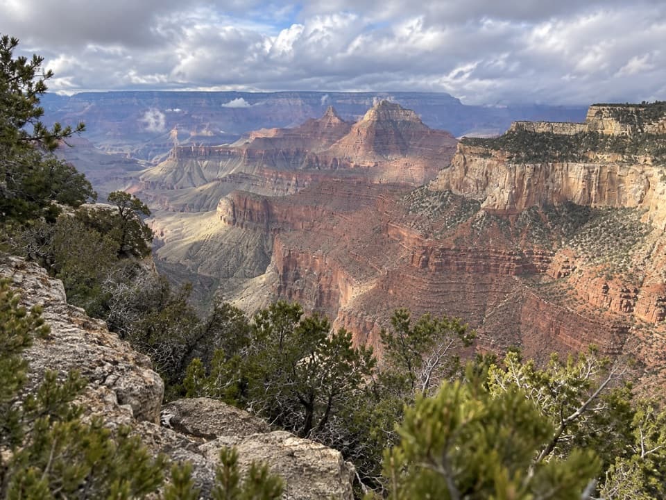
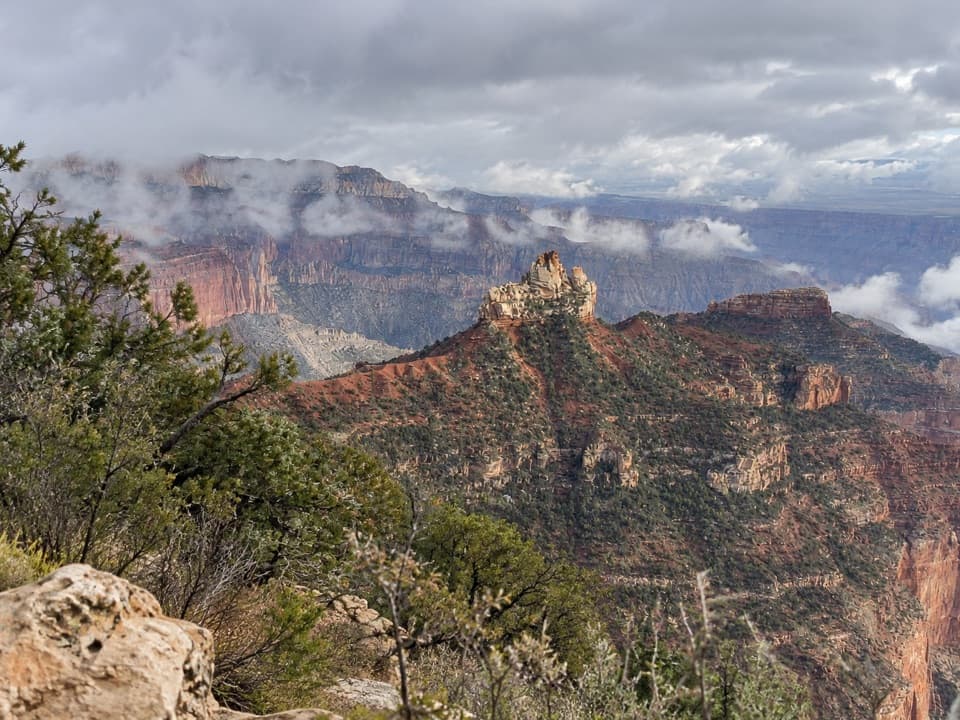
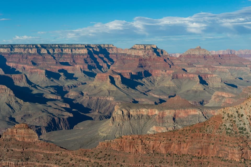
Point Imperial is a high-elevation overlook at the eastern end of Grand Canyon's North Rim. At 8,803 feet, it is the highest point on the canyon rim. Keep it in your plans if you want the Painted Desert and the eastern Grand Canyon in one view, with narrow Marble Canyon showing as a winding cut before the canyon opens out. This is a roadside stop, with a short stroll from the parking area to the viewpoint, rather than a destination that requires a long hike.

From Marble Canyon to the Painted DesertLook east across the broad landscape, then trace Marble Canyon's narrow walls as they wind…

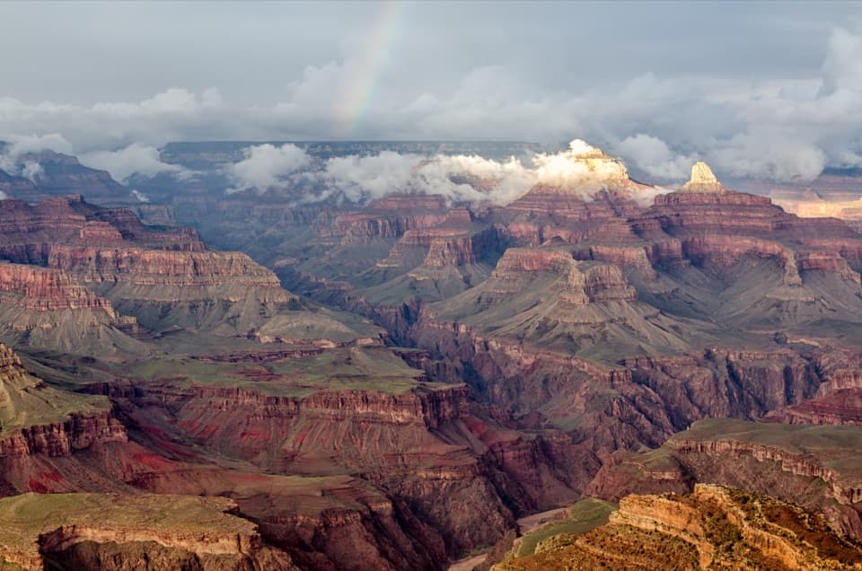
Look east across the broad landscape, then trace Marble Canyon's narrow walls as they wind toward the wider canyon. Point Imperial's height and eastern position give you a view that feels different from the more familiar South Rim overlooks: the land opens toward the Painted Desert while the canyon's shape changes in front of you.

Red and black rockRed and black Precambrian rock layers add a strong color contrast to the view.

Red and black Precambrian rock layers add a strong color contrast to the view. These layers are visible from Point Imperial but not from Bright Angel Point, so take a moment to look past the big panorama and pick out the darker bands against the red cliffs.

Take the road slowlyPoint Imperial Road branches from Cape Royal Road at the Y and runs nearly three miles to a…

Point Imperial Road branches from Cape Royal Road at the Y and runs nearly three miles to a one-way loop at the overlook. The drive passes high-elevation forest and open meadows, with seasonal wildflowers along the way. The road is narrow and winding, with blind corners; vehicles or vehicle-and-trailer combinations longer than 22 feet are prohibited. Snow can close the North Rim scenic roads in winter, so check access before making the drive.

At the point, you'll find parking, picnic tables, interpretive exhibits and vault toilets. Part of the viewpoint is accessible for wheelchairs and strollers, though the accessible route is not described in detail. The picnic tables make this a good place to eat food you've brought along.

Catch the long shadowsSunrise and sunset put long shadows across the side canyons and mesas.

Sunrise and sunset put long shadows across the side canyons and mesas. Aim east and keep both the near canyon ridges and the wider horizon in the frame; that layered view shows how Marble Canyon narrows before opening into the Grand Canyon.

Wildlife

Wildlife in Grand Canyon

All Grand Canyon wildlife maps

Sighting maps show where each species has been reported across Grand Canyon. Wildlife moves, so no sighting is guaranteed.

Parkwolf’s Grand Canyon ranking

Top sights in Grand Canyon

All 96 places
  1. 1Mather PointSight
  2. 2Desert View WatchtowerSight
  3. 3Yavapai Geology MuseumSight
  4. 4Hopi PointSight
  5. 5Toroweap OverlookSight
  6. 7Cape RoyalSight

Take Parkwolf to Grand Canyon.

The audio tour guide for the drive, plus offline maps, trails, and wildlife heatmaps for when the signal drops.

4.7 from 8,600+ ratings

Download Parkwolf on the App StoreGet Parkwolf on Google Play