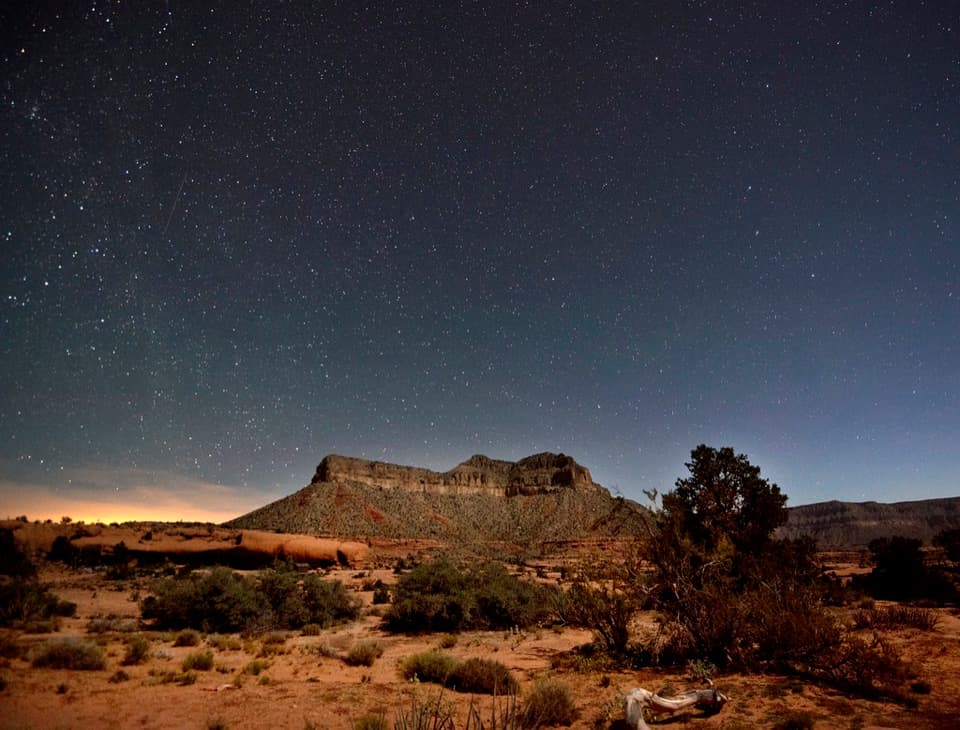
Parking
Start at the parking area at the end of the Lava Falls spur road off Toroweap Point Road. Tuweep is reached by rough high-clearance dirt roads; allow at least three hours one way from AZ-389. An advance day-use vehicle permit is required.
Grand Canyon National Park, AZ
A steep, loose descent to the Colorado through volcanic canyon country.
Overview
Map & elevation
Plan your hike

The highest, rockiest slopes around here are a summer buffet for grizzly bears.
Grand Canyon Tour Guide
Parkwolf is a GPS audio tour guide for Grand Canyon National Park. As you drive, it chimes in with what’s ahead: hidden gems, upcoming stops, history, geology, and wildlife, right through your car’s speakers.
See the Grand Canyon audio tour“Fantastic app with many points of information… It’s great to just turn on while you’re driving and it gives you an audio tour of the national Park. We love it!!!!”


Trail guide
Lava Falls Trail is a primitive out-and-back from the end of the Lava Falls spur road to the Colorado River near Lava Falls Rapids. It is about 3 miles round trip, roughly 1.5 miles each way, with a 2,500-foot drop to the river and the same steep climb back. Allow 4 to 12 hours depending on footing and route-finding; eight hours is a sensible planning point. This is for experienced hikers who are comfortable picking a faint line across steep, loose ground.
From the road-end access, the route crosses a reddish-black hollow, drops over a ledge, then follows a steep gully and long switchbacks across cinders and lava to a red-gravel bench. Below that, it traverses along a ridge before turning west under a cliff into the final scree chute. Cairns can be sparse or misleading. A wrong drainage can end at a dryfall or exposed drop, so watch for where the line climbs out of each wash. The south-facing slope has almost no shade and heats quickly; the return is a demanding climb on the same loose surface.
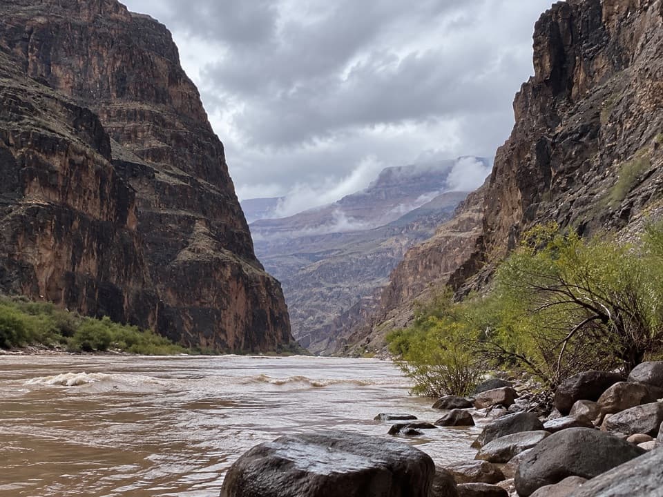
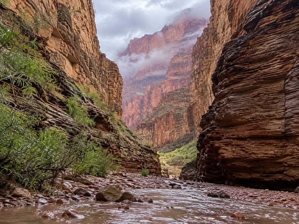
The route reaches the Colorado on the north bank near Lava Falls Rapids. The rapid itself is a short walk along the shore. Dark basalt and steep cliffs close in around the river, with red sandstone visible farther east. From the bank, frame the muddy water against the canyon walls to show how narrow this stretch of the inner canyon is.
The Toroweap Fault crosses the river and continues up Prospect Canyon. Volcanic activity began along it about seven million years ago, and lava from more than 60 vents later spilled over the rim more than a dozen times, damming the Colorado. The river cut through those flows. Despite the name, Lava Falls Rapids formed from debris washed down Prospect Canyon, not from the old lava dams.
Tuweep requires an advance day-use vehicle permit. The dirt roads are rough and need high-clearance driving skill; allow at least three hours one way from AZ-389. Summer monsoon storms and winter precipitation can make the roads impassable. Bring all your water, food and fuel: there is no water on the route and no food, gas or cell service at Tuweep. Overnight use needs a separate backcountry permit, and pets are not allowed on Tuweep trails. If you want the canyon view without this descent, Toroweap Overlook or the 45-minute Saddle Horse Loop is a much gentler option.
Wildlife
 718 sightingsCalifornia CondorMost seen around 5 PMSighting map
 533 sightingsBighorn SheepMost seen around 7 AMSighting map
 169 sightingsAmerican BisonMost seen around 7 PMSighting map
 1,891 sightingsElkMost seen around 6 AMSighting map
 59 sightingsCoyoteMost seen around 6 PMSighting map
 27 sightingsGray FoxMost seen around 6 AMSighting map
Sighting maps show where each species has been reported across Grand Canyon. Wildlife moves, so no sighting is guaranteed.
Keep exploring
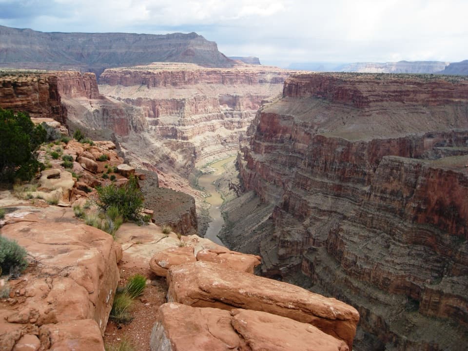 EasySaddle Horse Loop Trail1.7 mi · 1 hr · 1.5 mi awayFollow cairns across slickrock to a broad Colorado River view.
 ModerateTuckup Trail to Cove Canyon6 mi · 4 hr · 1.8 mi awayOpen Esplanade slickrock leads to wide Cove Canyon views.
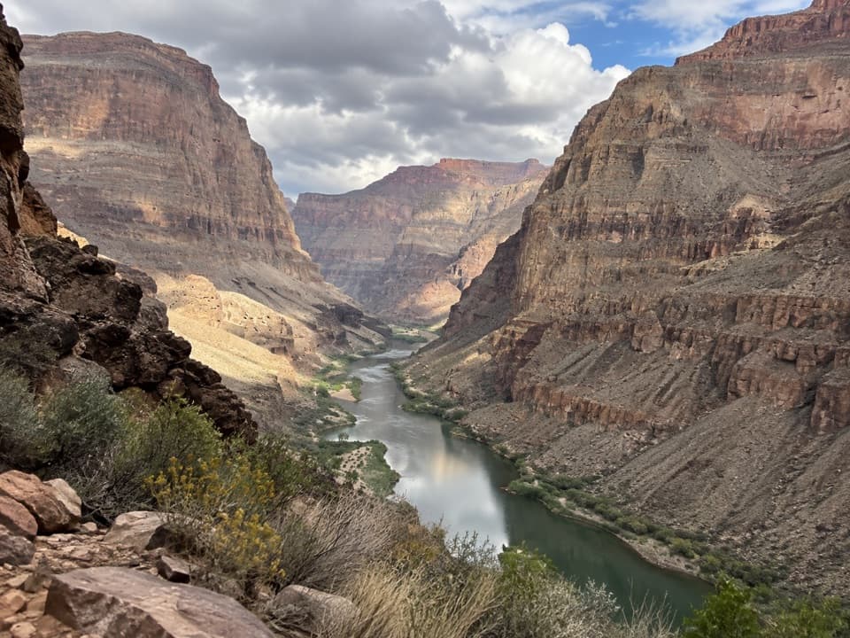 ChallengingWhitmore Trail2 mi · 2.5 hr · 7.7 mi awayA steep river-to-rim climb for Colorado River trips.
 ModerateNational Canyon (River Access)1.2 mi · 1.5 hr · 11 mi awayA short river-side walk to limestone narrows and pools.
 ChallengingSchmutz Spring Trail4.2 mi · 4 hr · 12.4 mi awayA steep 1,300-foot descent into Tuckup, with a long dirt-road drive.
Parkwolf’s Grand Canyon ranking

The audio tour guide for the drive, plus offline maps, trails, and wildlife heatmaps for when the signal drops.