
Place · 0.5 mi away
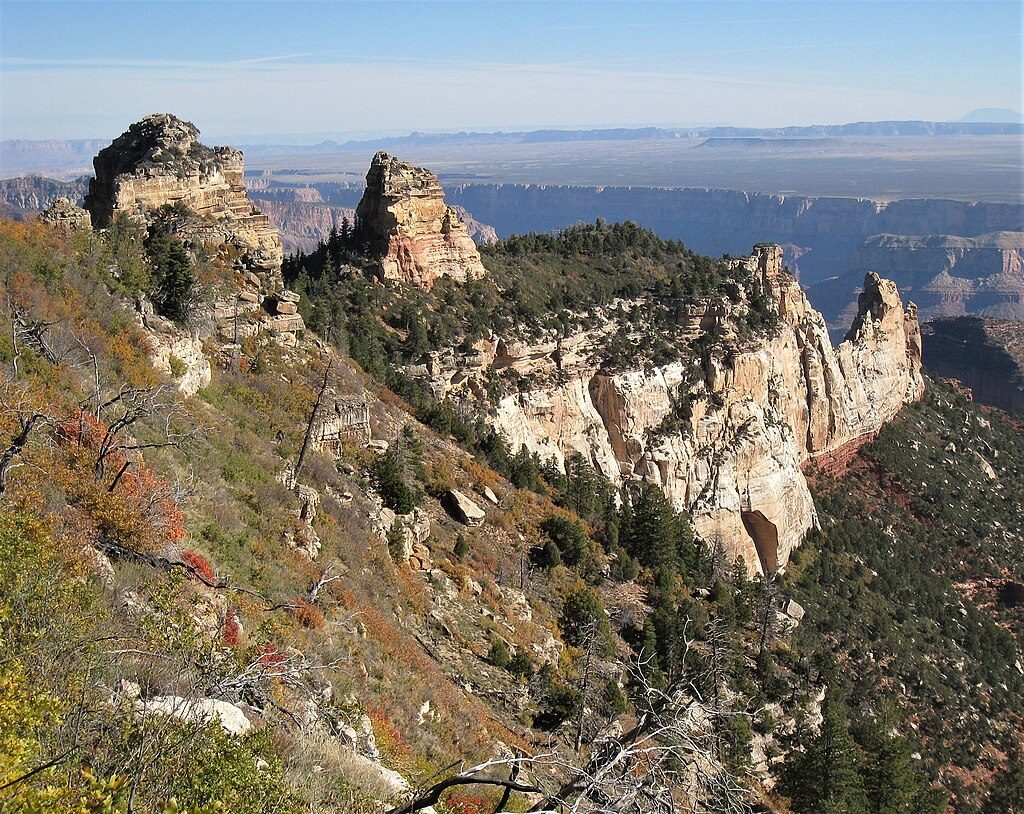
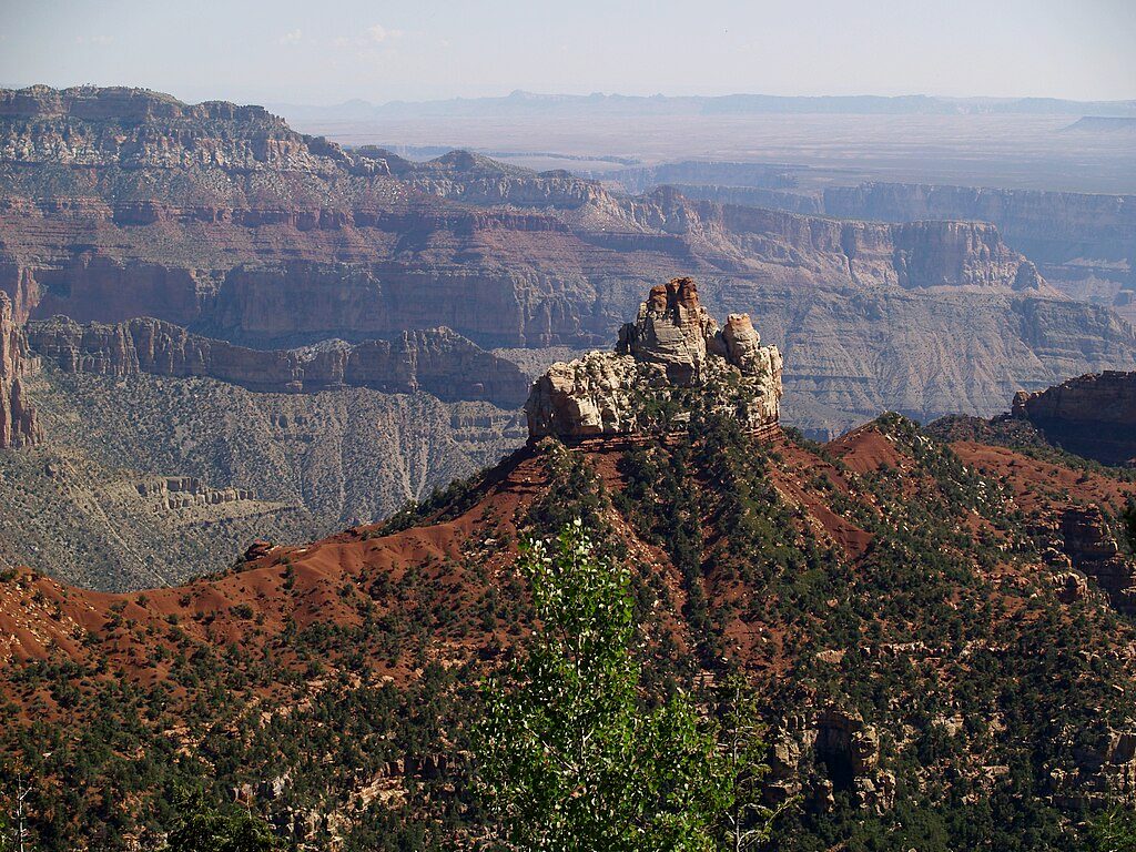
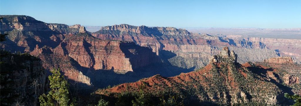
Tritle Peak is a little-known summit on the East Rim of the North Rim’s Walhalla Plateau, rising to 8,388 feet. It’s tucked just inland from Roosevelt Point, with the peak forming the high point of a limestone ridge. If you’re seeking a quiet, adventurous objective far from the park’s standard overlooks, this is it.
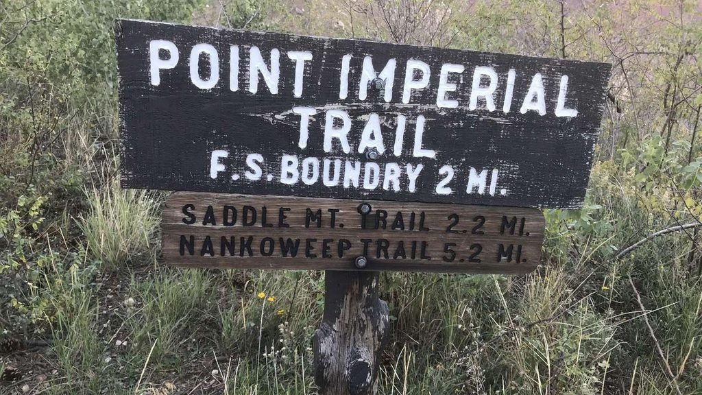
Unlike the drive-up viewpoints, Tritle Peak has no trail, no signs, and no people. The area is sometimes discussed as a small cluster—Tritle West, Tritle Center, and the main Tritle Peak—with climbers noting technical routes on Tritle Center and Tritle Peak. Expect Kaibab limestone underfoot and a real sense of isolation.
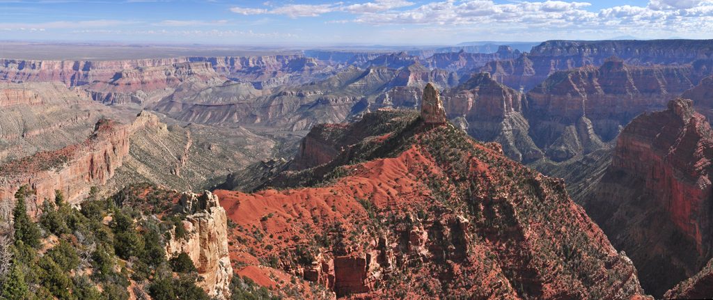
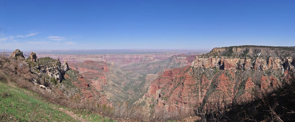
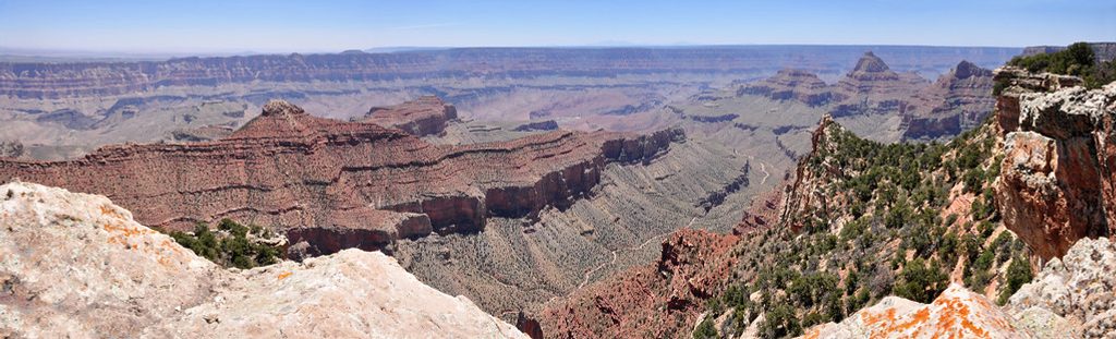
The summit is forested, so views on top are filtered, but the surrounding ridge offers occasional canyon glimpses. Nearby Roosevelt and Atoko Points deliver the sweeping panoramas; Tritle Peak delivers solitude and the satisfaction of reaching a seldom-visited high point.
There’s no maintained trail to Tritle Peak. Reaching it requires confident off-trail navigation through dense forest and navigating cliff bands—reports mention traversing above a prominent "Red Band" and using rappels on some approaches. If you aim for the technical lines on Tritle Peak or Tritle Center, plan on a rope, protection, and a capable partner.
Specific sightings aren’t documented for Tritle Peak, but North Rim forests generally host mule deer, Kaibab squirrels, and plenty of birdlife—don’t be surprised if the forest is lively even when the summit is quiet.
There are no amenities of any kind at Tritle Peak—no trailhead, parking, water, or restrooms. Bring maps/GPS, ample water, food, layers for the North Rim’s changeable weather, and any technical gear appropriate to your planned route.
Crowds aren’t the issue here; conditions are. Pick a clear, calm day for safer route-finding and more enjoyable travel. For photography, the adjacent rim viewpoints shine in early and late light, while Tritle Peak itself is about the off-trail adventure rather than classic vistas.
Place · 0.5 mi away
Place · 1.5 mi away
Place · 2.5 mi away
Place · 4.1 mi away
Easy · 0.5 mi away
Easy · 4.1 mi away
Easy · 5.5 mi away
Easy · 5.9 mi away

Parkwolf Tour Guide
