Vista Encantada in Grand Canyon National Park

Picnic area · Grand Canyon National Park

Vista Encantada

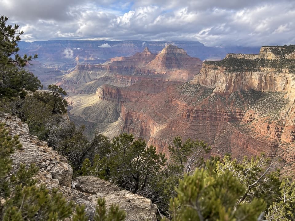
A pine-shaded picnic stop above the North Rim’s layered cliffs.

Type
Picnic area
Nearest trail
0.5 mi
Audio stories
6 nearby
  • Picnic tables
  • Scenic viewpoint
  • Exhibit
  • Parking

Hear the audio tour

Vista Encantada’s Picnic Stop

Overview

About Vista Encantada

Why stop

  • Early light can bring color to the east-facing canyon view.

Heads up

  • Parking is limited in the one-lane area.

Map

Where it is

Loading the Grand Canyon map
Full map
Picnic areaVista Encantada36.23029, -111.97430
Keep this map with you offline in the Parkwolf app

Plan your stop

Before you go

4 active Grand Canyon alerts

  • ClosureInner Canyon and North Rim trail closuresMentions North Rim, referenced in this guideDo not enter the closed trails, bridges, campgrounds, and inner-canyon areas.Official details
  • ClosureNorth Rim scenic roads closed for repairsMentions North Rim, referenced in this guideCape Royal Road and Point Imperial Road are closed from sunset October 15 through sunrise November 3, 2026. - The roads are closed to accommodate critical road repair and rehabilitation work.Official details

See all 4 alerts
A park ranger sits on a dash-mounted phone, talking, as Parkwolf’s Tour Guide plays “Army Cutworm Moths: A Grizzly Bear Buffet” on Grand Loop Road below Dunraven Pass in Yellowstone
Parkwolf Tour GuideThe highest, rockiest slopes around here are a summer buffet for grizzly bears.

Grand Canyon Tour Guide

Your drive to Vista Encantada, narrated.

Parkwolf is a GPS audio tour guide for Grand Canyon National Park. As you drive, it chimes in with what’s ahead: hidden gems, upcoming stops, history, geology, and wildlife, right through your car’s speakers.

See the Grand Canyon audio tour

Recorded for this place

Vista Encantada’s Picnic Stop
0:00 / 0:16
“You're approaching Vista Encantada, a pine-shaded picnic stop with an eastward canyon view. I'd use it for a lunch you've brought along.”

Plays as you drive up to Vista Encantada in the Parkwolf Grand Canyon Tour Guide.

More stories near here in the app

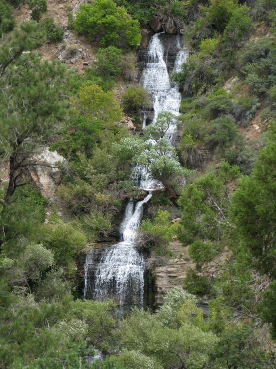
  • Rain That Never Lands
  • Walhalla Glades’ Old-Road Hike
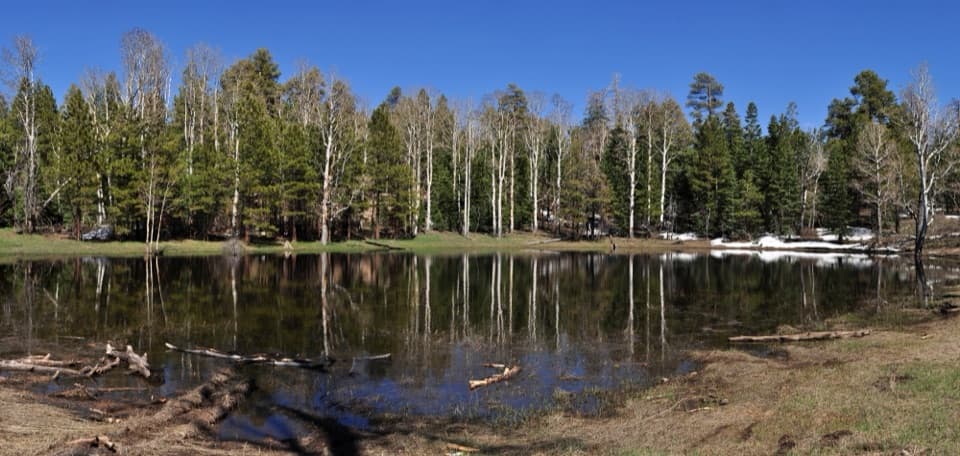
  • Greenland Lake’s Limestone Basin
  • Roosevelt Point’s View and Plaque
  • 79 audio storiesacross Grand Canyon’s roads, triggered by GPS as you drive
  • Wildlife heatmapsfor California Condor, Bighorn Sheep, American Bison, and 13 more
  • Works offlinemaps, 73 trails, 96 places, and audio download before you lose signal
  • CarPlay readysimple controls built for the drive
★★★★★
“Fantastic app with many points of information… It’s great to just turn on while you’re driving and it gives you an audio tour of the national Park. We love it!!!!”
JMJamesApp Store review
Download Parkwolf on the App StoreGet Parkwolf on Google Play

4.7 from 8,600+ ratings

Guide

More about Vista Encantada

A picnic stop on Cape Royal RoadVista Encantada is a small North Rim picnic area and overlook, with several tables beneath…

Vista Encantada is a small North Rim picnic area and overlook, with several tables beneath ponderosa pines close to the rim. Its view faces east and southeast across layered cliffs and desert. I’d use it as a quiet picnic break while exploring Cape Royal Road; on a quick drive, choose the overlooks that matter to you instead of trying to stop everywhere.

Finding the pulloutFrom the North Rim Entrance Station, Vista Encantada is about 11 miles and a 20-minute drive.

From the North Rim Entrance Station, Vista Encantada is about 11 miles and a 20-minute drive. From the Cape Royal Road junction, head south about five miles, past a series of switchbacks. Watch for the small pullout on the left; it leads to a one-lane parking area with limited space. The overlook sits just northwest of Roosevelt Point.

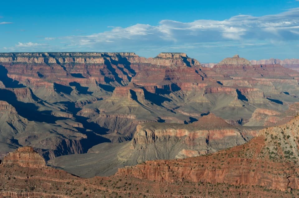
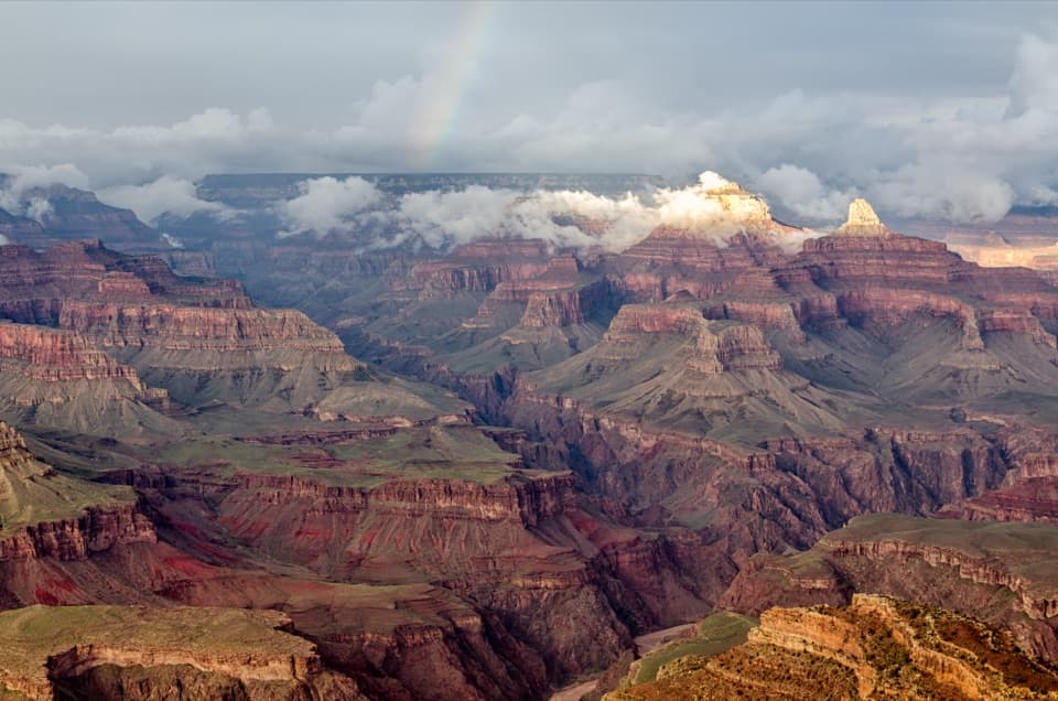
The viewThe east- and southeast-facing outlook looks across layered cliffs toward the desert beyond.

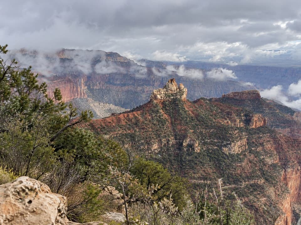
The east- and southeast-facing outlook looks across layered cliffs toward the desert beyond. Early morning light can bring out color in the canyon. For a photo, keep a few pine branches in the foreground with the cliffs behind them; it shows both the rim-side setting and the depth of the view.

Built by the CCCCivilian Conservation Corps crews made the overlook in the 1930s, during the era when they were…

Civilian Conservation Corps crews made the overlook in the 1930s, during the era when they were building North Rim roads, pullouts, and rustic stonework. Vista Encantada still has that spare, park-built character. Its Spanish name means “Enchanted View.”

Wildlife

Wildlife in Grand Canyon

All Grand Canyon wildlife maps

Sighting maps show where each species has been reported across Grand Canyon. Wildlife moves, so no sighting is guaranteed.

Keep exploring

Near Vista Encantada

See it all on the map

Trails nearby

More stops nearby

Parkwolf’s Grand Canyon ranking

Top sights in Grand Canyon

All 96 places
  1. 1Mather PointSight
  2. 2Desert View WatchtowerSight
  3. 3Yavapai Geology MuseumSight
  4. 4Hopi PointSight
  5. 5Toroweap OverlookSight
  6. 6Point ImperialSight

Take Parkwolf to Grand Canyon.

The audio tour guide for the drive, plus offline maps, trails, and wildlife heatmaps for when the signal drops.

4.7 from 8,600+ ratings

Download Parkwolf on the App StoreGet Parkwolf on Google Play