Parking
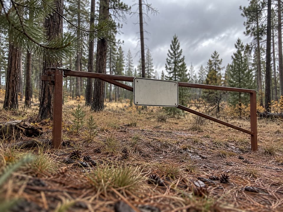
Use the small dirt lot alongside Cape Royal Road, 2.4 road miles north of the Cape Royal parking area. RVs over 22 feet and vehicle-trailer combinations over 22 feet are not permitted on Cape Royal Road.

Grand Canyon National Park, AZ
A pine walk ends at an open rocky point above the canyon.
Overview
Map & elevation
Plan your hike

The highest, rockiest slopes around here are a summer buffet for grizzly bears.
Grand Canyon Tour Guide
Parkwolf is a GPS audio tour guide for Grand Canyon National Park. As you drive, it chimes in with what’s ahead: hidden gems, upcoming stops, history, geology, and wildlife, right through your car’s speakers.
See the Grand Canyon audio tourRecorded for this trailhead
Cape Final’s Forest Walk“Up ahead is Cape Final Trailhead, the start of a forest walk to a broad eastern-canyon view.”
Plays as you drive up to this trailhead in the Parkwolf Grand Canyon Tour Guide.
More stories near here in the app
“Fantastic app with many points of information… It’s great to just turn on while you’re driving and it gives you an audio tour of the national Park. We love it!!!!”


Trail guide
Cape Final Trail is a 4.2-mile out-and-back, starting at the small dirt lot beside Cape Royal Road and following the same 2.1-mile corridor to Cape Final and back. The destination is a rocky point on the Walhalla Plateau, not a continuous rim-edge walk. The trail is relatively flat by canyon standards and easy to moderate, though the tread is rocky. Plan two to four hours so there is time for the walk and the view; it is an outing, not a quick stop between overlooks.
The broad dirt path heads through forest, with a mild rise and rocky footing. For roughly the first half, pines screen most of the canyon. The change comes gradually: eastern Grand Canyon begins to appear through gaps in the trees around halfway, then the openings become more frequent as the route nears the rim. That long wooded approach is the tradeoff. If you want a canyon panorama from the first few minutes, this is not the route for it; if you like a wooded walk that saves its view for the end, it fits.
Several short spurs near the finish lead to earlier viewpoints, and one can look like the destination. They are tempting places to stop, but the main trail continues. Follow it until the Cape Final sign, then take the last few yards to the point. The named endpoint is the walk's payoff, so check that you have reached it before turning around. You will retrace the same corridor on the way back; the 4.2-mile figure includes both legs.
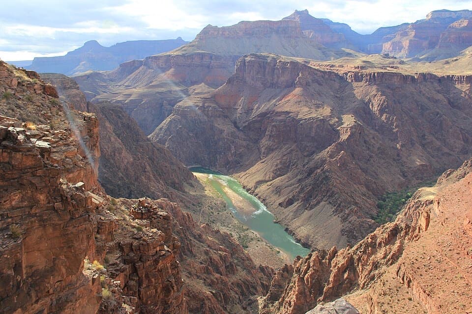
Cape Final is an unfenced rocky promontory. From the point, the South Rim lies across the main canyon, while the Little Colorado River arm opens to one side; the Colorado River may be visible far below. The cape juts out at a major bend, so the view spreads into more than one direction. The endpoint is natural rock rather than a railed platform, and it has no shade. Keep to secure footing and leave room from the edge. For a photo, include some of the pale rim rock in the foreground with the layered canyon beyond; the foreground makes the depth easier to read on a phone.
There is no water along the trail, so start with enough for the full walk. The route is around 8,000 feet above sea level; give yourself time if altitude usually slows you. Pets are not allowed on Cape Final Trail. On the North Rim, leashed pets are limited to the Bridle Trail and the section of the Arizona Trail north to the entrance station. Primitive campsites near the viewpoint are for permitted overnight trips, not a day-hike amenity; arrange a backcountry permit before planning to camp. The marked parking is a small dirt area alongside Cape Royal Road, 2.4 road miles north of the Cape Royal parking area. RVs over 22 feet and vehicle-trailer combinations over 22 feet are not allowed on that road.
Wildlife
 718 sightingsCalifornia CondorMost seen around 5 PMSighting map
 533 sightingsBighorn SheepMost seen around 7 AMSighting map
 169 sightingsAmerican BisonMost seen around 7 PMSighting map
 1,891 sightingsElkMost seen around 6 AMSighting map
 59 sightingsCoyoteMost seen around 6 PMSighting map
 27 sightingsGray FoxMost seen around 6 AMSighting map
Sighting maps show where each species has been reported across Grand Canyon. Wildlife moves, so no sighting is guaranteed.
Keep exploring
 EasyWalhalla Glades Pueblo Trail0.2 mi · 15 min · 0.9 mi awayA short pine walk reveals a 900-year-old settlement.
 ModerateCliff Springs Trail0.8 mi · 1.5 hr · 1.6 mi awayA short, steep walk to a spring beneath a red rock overhang.
 EasyCape Royal Trail0.8 mi · 1 hr · 1.8 mi awayAn easy paved walk to a natural arch and wide canyon views.
 ModerateWalhalla Spur Trail5.4 mi · 3 hr · 2.4 mi awayA remote, rough forest track across the Walhalla Plateau.
 EasyRoosevelt Point Trail0.3 mi · 24 min · 5.1 mi awayA woodland loop opens to the Painted Desert and canyon views.
 ModerateFrancois Matthes Trail10.7 mi · 5.5 hr · 5.6 mi awayA long former road to a brush-framed North Rim overlook.
 ModerateWalhalla Glades Trail15 mi · 6 hr · 5.6 mi awayA 15-mile out-and-back on Walhalla Plateau's old road.
 EasyUnkar Delta Loop0.9 mi · 45 min · 5.8 mi awayA short river loop passes ten ancestral Puebloan sites.
 Sight · 0.9 mi awayWalhalla Glades PuebloA short walk to a 900-year-old pueblo home site.
 Sight · 1.1 mi awayWalhalla OverlookA broad Unkar Delta view, with a pueblo across the road.Sight · 1.6 mi awayCape FinalA 4.2-mile forest hike ends with a wide canyon panorama.
 Sight · 1.9 mi awayAngels WindowThe Colorado River framed through a natural arch.
 Sight · 2.1 mi awayCape RoyalA 23-mile North Rim drive opens onto a 270-degree canyon view.
 Sight · 5.1 mi awayRoosevelt PointA short walk finishes at an east-facing canyon panorama.
 Campground · 6.1 mi awayCottonwood CampgroundSleep beneath the canyon walls beside Bright Angel Creek.
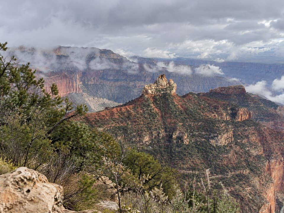 Picnic area · 6.2 mi awayVista EncantadaA pine-shaded picnic stop above the North Rim’s layered cliffs.
Parkwolf’s Grand Canyon ranking

The audio tour guide for the drive, plus offline maps, trails, and wildlife heatmaps for when the signal drops.