
Place · 0 mi away
Easy
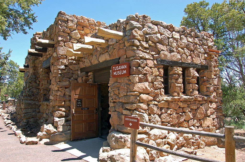
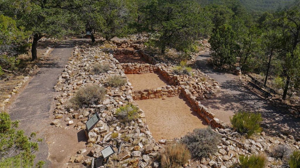
This is a short, interpretive loop at the Tusayan Ruin and Museum on Desert View Drive. At roughly 0.2 miles total, it’s a walk, not a workout—worth it if you’re curious about the people who lived here 800 years ago, not if you’re chasing big canyon views.
The loop circles a compact Ancestral Puebloan village site with visible stone walls and kivas, and passes reconstructed agricultural plots showing how corn, beans, and squash were grown in this high desert. Interpretive signs bring the site to life. You’ll walk through a pinyon–juniper woodland, with a decent chance of spotting birds and lizards. This is more about culture and landscape than dramatic overlooks.
Expect a mostly flat, compact dirt and gravel path with minor unevenness. Elevation gain is negligible. Most visitors take 15–30 minutes, depending on how much you read. It’s generally quiet compared to the big South Rim viewpoints. The adjacent Tusayan Museum adds essential context—and has restrooms and water.
You’re on the forested top of the Kaibab Plateau, with soils derived from the Kaibab Limestone and Toroweap Formation—relatively level country compared to the rim’s nearby drop-offs. The setting helps explain why agriculture worked here at all.
If you’re into archaeology, Indigenous history, or traveling with kids, this is a low-effort, high-learning stop. If you want a long hike or rim-to-river scale scenery, skip it and head for a rim overlook or a true canyon trail.
Leashed pets are allowed on above-the-rim trails per park policy; they are not allowed inside the museum building.
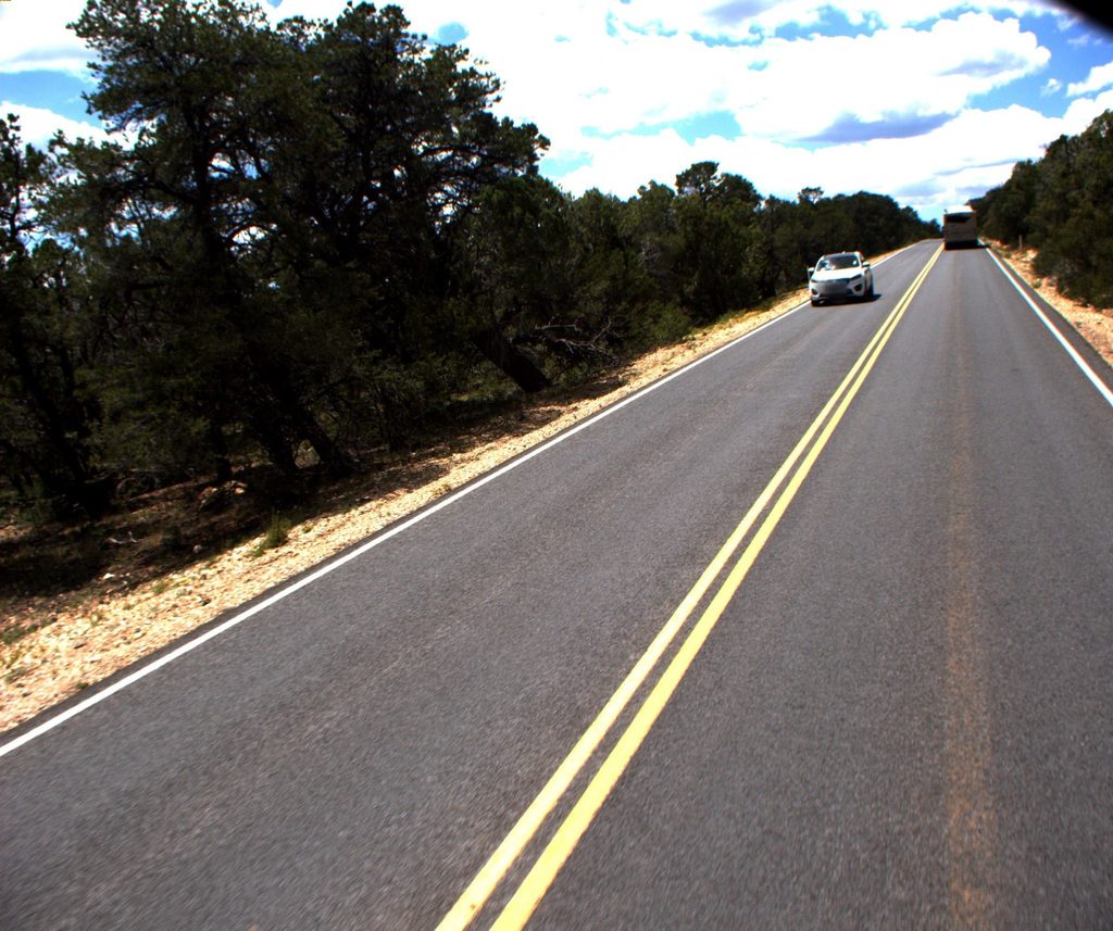
Park at the Tusayan Ruin and Museum lot along Desert View Drive (AZ-64). The loop starts by the museum.
High-elevation sun exposure and some uneven gravel sections; occasional winter snow or ice on the path.
Place · 0 mi away
Place · 1.6 mi away
Place · 2.3 mi away
Place · 3 mi away
Easy · 0 mi away
Challenging · 1.5 mi away
Challenging · 1.5 mi away
Challenging · 1.6 mi away

Parkwolf Tour Guide
