Parking
Normally park at Lipan Point, then walk a short way back down the paved road to the signed trailhead east of the pavement.

Grand Canyon National Park, AZ
A rough historic descent into the canyon’s wide, colorful east end.
Overview
Map & elevation
Plan your hike

The highest, rockiest slopes around here are a summer buffet for grizzly bears.
Grand Canyon Tour Guide
Parkwolf is a GPS audio tour guide for Grand Canyon National Park. As you drive, it chimes in with what’s ahead: hidden gems, upcoming stops, history, geology, and wildlife, right through your car’s speakers.
See the Grand Canyon audio tourRecorded for this trailhead
Lipan Point’s River and Tilted Rocks“You're approaching Lipan Point, a stop I'd keep for its long view along the Colorado River. Once you're out at the overlook, look for rock bands that lean at an angle beneath the more level layers.”
Plays as you drive up to this trailhead in the Parkwolf Grand Canyon Tour Guide.
More stories near here in the app
“Fantastic app with many points of information… It’s great to just turn on while you’re driving and it gives you an audio tour of the national Park. We love it!!!!”


Trail guide
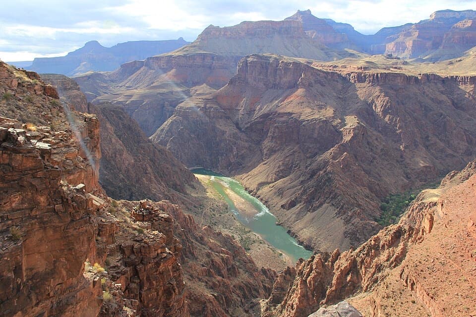
Tanner Trail is a historic 9-mile, one-way descent from the signed trailhead near Lipan Point to the Colorado River at Tanner Beach and Tanner Rapid. It drops 4,650 feet through the broad, colorful eastern Grand Canyon. This is a serious backcountry route, not a short rim walk. The park recommends the Seventyfive Mile Creek–Tanner Canyon saddle as the best day-hike turnaround: about 1.6 miles down, then 1.6 miles back, with a 1,700-foot descent and climb. The saddle gives you a wide inner-canyon view without committing to the lower route. Allow about seven hours for the full descent and arrange your return or onward route separately.
From the signed access east of the road, the gravel path drops almost immediately. Switchbacks cut through Kaibab Limestone among piñon and juniper, where the only meaningful shade is near the rim. The trail stays beside a growing gully, then crosses to its other side near the Coconino Sandstone. This is the narrow, badly eroded part: rockslides cover sections of the old tread, and short passages can be unstable or hard to follow, especially after storms. Trekking poles help on this steep, loose ground. At the saddle, the grade eases and the canyon opens below you. It is a sensible place to turn around if you came for a demanding half-day hike rather than a river trip.
Beyond the saddle, the route contours more easily through the Supai Formation, below Escalante and Cardenas Buttes. The Desert View Watchtower stands across the canyon on the far rim. Around three miles from the start, the trail crests a ridge and follows the top of the Redwall Limestone. Stay on the main line where a right turn leads into switchbacks; a short walk ahead reaches the Palisades of the Desert overlook. From there, a seven-mile round trip to the rim is a longer day-hike option.
The river route continues down steep, exposed Redwall switchbacks over loose rock. It curves around a saddle through the greenish-purple Muav Limestone, contouring around drainages and sometimes climbing again before the final descent. The last switchbacks cross the deep-red Dox Formation and reach a sandy wash. Follow the wash downstream to Tanner Rapid. The river is the trail’s endpoint; the 9-mile distance does not include a return.
At the Palisades overlook, look upstream toward the sherbet-colored cliffs and down toward the rolling red hills known as Furnace Flats. From this open eastern section, the canyon floor is much wider than it is in the inner gorge. The tilted Grand Canyon Supergroup rocks here range from 729 million to 1.255 billion years old. Their softer layers erode readily, leaving a broad floor beneath steep walls. The overlook is the best place on this route to frame both the colored cliffs and the open country below; the Desert View Watchtower is visible on the far rim.
People have used this natural rim-to-river passage for thousands of years. The trail in its present form dates to 1890, when Franklin French and Seth Tanner improved it to reach mining claims. It also served as the southern part of the old Horsethief Route.
There is no reliable water between the rim and the Colorado River, and little shade after the short upper stretch. River water can be silty and difficult to purify; treat or boil it. Avoid the route in warm weather above 95°F. Summer monsoon storms bring lightning, and winter or early-spring ice can cover the upper trail. Talk with a ranger before attempting the lower route, and do not bring pets. Camping below the rim requires a backcountry permit; the large dune at Tanner Canyon’s mouth is closed to visitation and camping to protect habitat, with the Tanner Canyon use area as the camping exception. Carry your own food; no concession is described at the trailhead or along the route. A composting toilet is near the river campsites east of Tanner Canyon.
Wildlife
 718 sightingsCalifornia CondorMost seen around 5 PMSighting map
 533 sightingsBighorn SheepMost seen around 7 AMSighting map
 169 sightingsAmerican BisonMost seen around 7 PMSighting map
 1,891 sightingsElkMost seen around 6 AMSighting map
 59 sightingsCoyoteMost seen around 6 PMSighting map
 27 sightingsGray FoxMost seen around 6 AMSighting map
Sighting maps show where each species has been reported across Grand Canyon. Wildlife moves, so no sighting is guaranteed.
Keep exploring
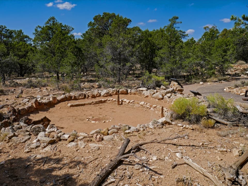 EasyTusayan Pueblo Self-guiding Trail0.1 mi · 20 min · 1.6 mi awayA quick loop around an ancestral Pueblo village and kiva.
 EasyUnkar Delta Loop0.9 mi · 45 min · 3.4 mi awayA short river loop passes ten ancestral Puebloan sites.
 ChallengingTonto Trail95 mi · 3.7 days · 3.9 mi awayA 95-mile traverse along the canyon’s dry middle bench.
 ChallengingEscalante Route12 mi · 12 hr · 4.9 mi awayA 12-mile river traverse with exposed ledges and a Papago Wall climb.
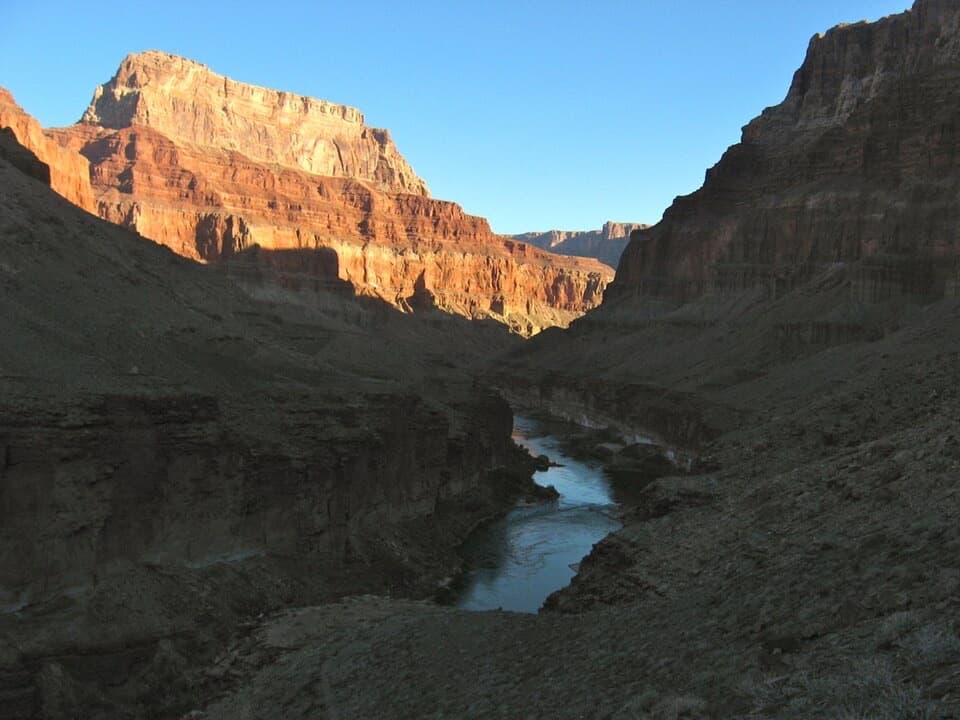 ChallengingBeamer Trail9.1 mi · 8 hr · 4.9 mi awayNine exposed miles to where the Little Colorado meets the Colorado.
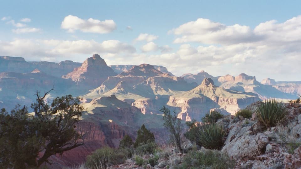 ChallengingNew Hance Trail6.5 mi · 8 hr · 5.5 mi awayA steep, rough descent through Red Canyon to Hance Rapids.
 ChallengingCottonwood Creek Trail from Grandview Point9 mi · 11 hr · 7.9 mi awayThe historic route drops from the rim to an inner canyon creek.ChallengingHance Creek Trail9.8 mi · 11 hr · 7.9 mi awayA steep, exposed descent to Hance Creek with a long climb back
 Sight · 0.1 mi awayLipan PointThe South Rim's longest look along the Colorado River.
 Scenic pullout · 0.6 mi awayNo Name PointA quick stop for a far-reaching northward canyon view.
 Sight · 0.9 mi awayNavajo PointSouth Rim's highest overlook, with river views and an aviation memorial.
 Entrance station · 1.3 mi awayDesert View Entrance StationEastern gate to Desert View, often less crowded than the South Entrance.
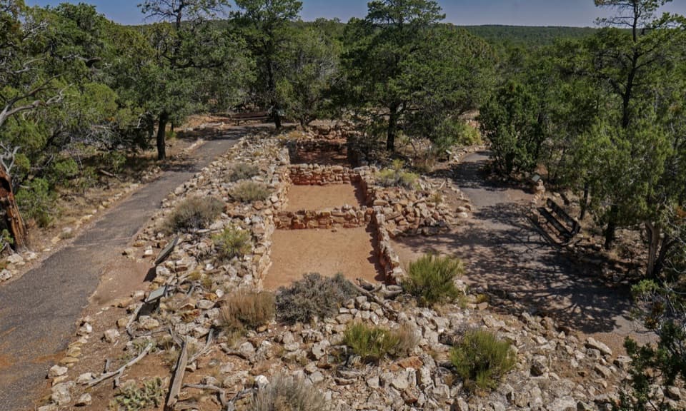 Sight · 1.5 mi awayTusayan Pueblo SiteSee the plan of an Ancestral Pueblo village on a short loop
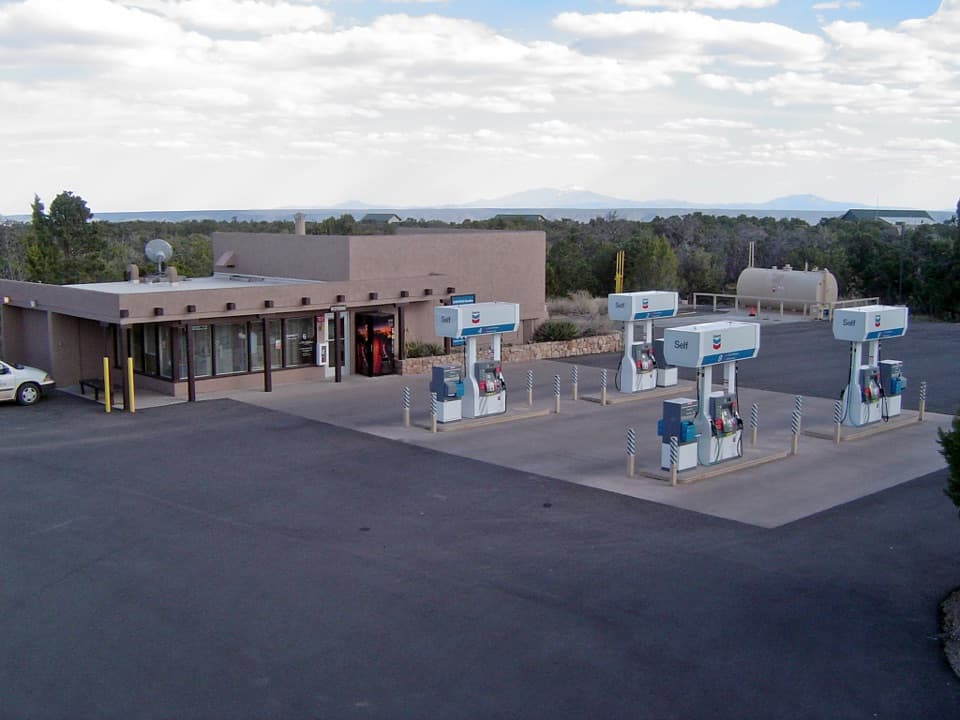 Gas station · 1.6 mi awayDesert View Gas StationFill up here before the next pump, 30 miles down the road.
 Store · 1.7 mi awayDesert View Trading Post and Ice CreamA canyon-facing scoop after browsing handmade crafts.
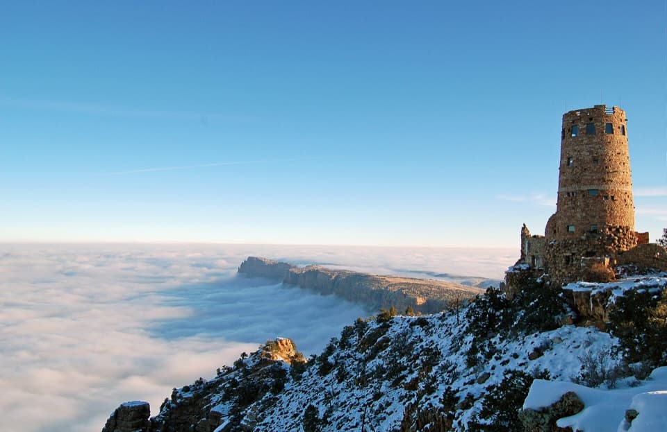 Sight · 1.7 mi awayDesert View WatchtowerColter’s stone tower frames the Colorado River from the South Rim.
Parkwolf’s Grand Canyon ranking

The audio tour guide for the drive, plus offline maps, trails, and wildlife heatmaps for when the signal drops.