Parking
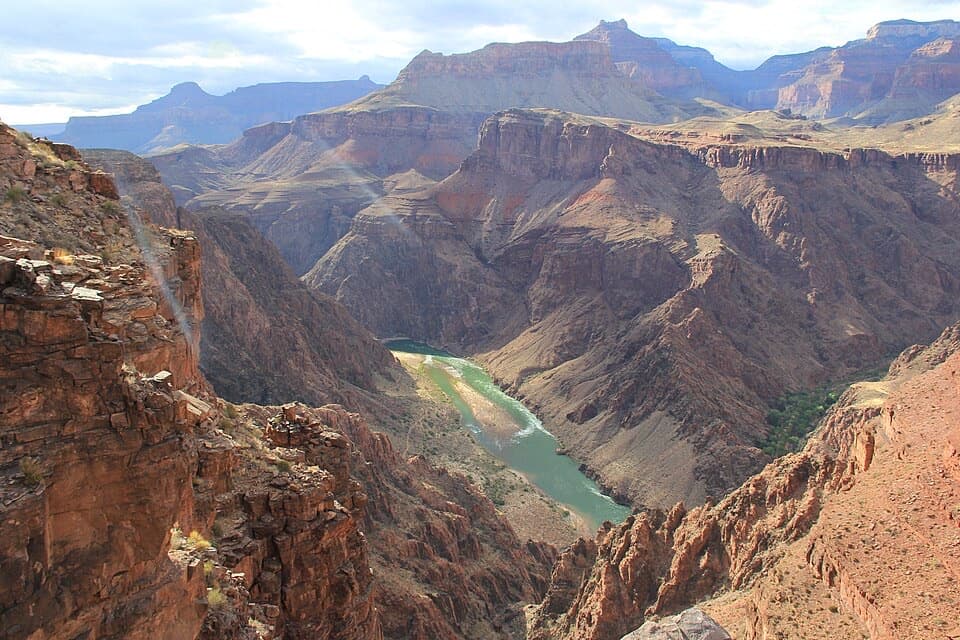
No direct vehicle access. Reach the south end at Tanner Beach by descending Tanner Trail; Beamer joins it just above Tanner Rapids. There is no routine road exit at the Little Colorado end.
Grand Canyon National Park, AZ
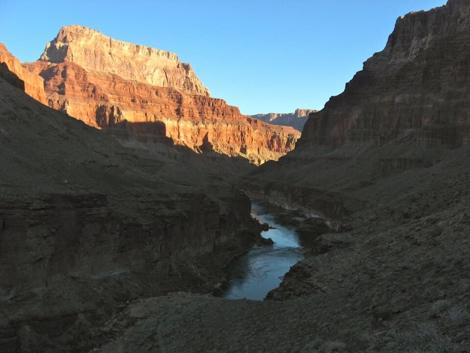
Nine exposed miles to where the Little Colorado meets the Colorado.
Overview
Map & elevation
Plan your hike

The highest, rockiest slopes around here are a summer buffet for grizzly bears.
Grand Canyon Tour Guide
Parkwolf is a GPS audio tour guide for Grand Canyon National Park. As you drive, it chimes in with what’s ahead: hidden gems, upcoming stops, history, geology, and wildlife, right through your car’s speakers.
See the Grand Canyon audio tourMore stories near here in the app
“Fantastic app with many points of information… It’s great to just turn on while you’re driving and it gives you an audio tour of the national Park. We love it!!!!”


Trail guide
Beamer Trail is a 9.1-mile one-way route from Tanner Beach to the Little Colorado River confluence, deep in the eastern Grand Canyon. It starts on sandy river slopes and turns into a rough, exposed ledge route after Palisades Creek. This is a serious backcountry trip, not a walk from the rim. The south end is reached by descending Tanner Trail; there is no road at either end. Allow a full day for the Beamer section in this direction. Walking back to Tanner Beach makes the Beamer segment alone 18.2 miles; a rim outing also includes the Tanner Trail descent and strenuous climb out. A north-side exit is not a dependable shortcut: the park describes those wilderness routes as rough and potentially dangerous.
From Tanner Beach to Palisades Creek, about 2.9 miles, the route stays above dense riverside brush on sandy slopes. A few Dox Sandstone outcrops interrupt the walk, but the terrain is mostly straightforward. The line crosses dry tributaries including Comanche and Espejo; cliffs can push it away from the water near side channels. This section gives you close views of the river corridor and its layered canyon walls.
At Palisades Creek, Tapeats Sandstone blocks the shoreline. The route climbs roughly 300 feet up loose talus to the top of the rock, then follows a narrow, badly eroded ledge toward the Little Colorado. It contours around a string of steep gullies, with exposed edges and big drops. The track is generally visible, but the crossings at those gullies are where navigation can get tricky. If heights or loose footing are a problem for you, this is the section to think carefully about before committing.
The Grand Canyon Trust describes a boot-beaten branch down to a beach around mile 8.4; the main Beamer Trail stays high on the Tapeats and continues to the river. The confluence is about 9.1 miles from Tanner Beach, at Colorado River mile 61.5, where the Little Colorado joins the main river and the canyon systems meet. There is no easy onward exit from this point. The north-side routes from the Little Colorado cross rough country, and crossing Navajo land requires a permit.
Between Tanner Trail and Palisades Creek, tilted layers of the Grand Canyon Supergroup and dark lava flows are among the oldest exposed rocks here, estimated at 800 million to 1.2 billion years old. Their roughly 20-degree tilt makes them stand out from the more level layers above. Near Palisades, Seth Tanner held silver and copper claims. George McCormick later renamed one mine Copper Blossom. Leave mining remnants where you find them.
Ben Beamer was a pioneer, farmer and miner active in the eastern canyon in the early 1890s. He tried, unsuccessfully, to grow crops and settle near the Little Colorado's mouth. The trail ends at a place with a much longer human story too: the confluence is culturally significant to Hopi and Navajo communities.
Beamer lies in backcountry use area BA9. Overnight stays require a backcountry permit, and camping is closed within a quarter mile of the confluence. The Colorado River is the only reliable source of quality drinking water, but sediment often makes it difficult to purify; the Little Colorado's water is practically undrinkable. The drainage can produce massive floods, so weather and campsite choice matter. No food service or developed amenities were verified along the route. Pets are not allowed below the rim.
Wildlife
 718 sightingsCalifornia CondorMost seen around 5 PMSighting map
 533 sightingsBighorn SheepMost seen around 7 AMSighting map
 169 sightingsAmerican BisonMost seen around 7 PMSighting map
 1,891 sightingsElkMost seen around 6 AMSighting map
 59 sightingsCoyoteMost seen around 6 PMSighting map
 27 sightingsGray FoxMost seen around 6 AMSighting map
Sighting maps show where each species has been reported across Grand Canyon. Wildlife moves, so no sighting is guaranteed.
Keep exploring
 ChallengingEscalante Route12 mi · 12 hr · At the trailheadA 12-mile river traverse with exposed ledges and a Papago Wall climb.
 EasyUnkar Delta Loop0.9 mi · 45 min · 2.9 mi awayA short river loop passes ten ancestral Puebloan sites.
 ChallengingTanner Trail9 mi · 7 hr · 4.9 mi awayA rough historic descent into the canyon’s wide, colorful east end.
 ChallengingTonto Trail95 mi · 3.7 days · 6.4 mi awayA 95-mile traverse along the canyon’s dry middle bench.
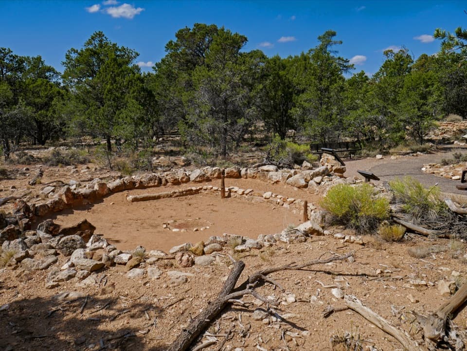 EasyTusayan Pueblo Self-guiding Trail0.1 mi · 20 min · 6.4 mi awayA quick loop around an ancestral Pueblo village and kiva.
 EasyWalhalla Glades Pueblo Trail0.2 mi · 15 min · 6.5 mi awayA short pine walk reveals a 900-year-old settlement.
 ModerateCape Final Trail4.2 mi · 3 hr · 6.6 mi awayA pine walk ends at an open rocky point above the canyon.
 ModerateCliff Springs Trail0.8 mi · 1.5 hr · 6.7 mi awayA short, steep walk to a spring beneath a red rock overhang.
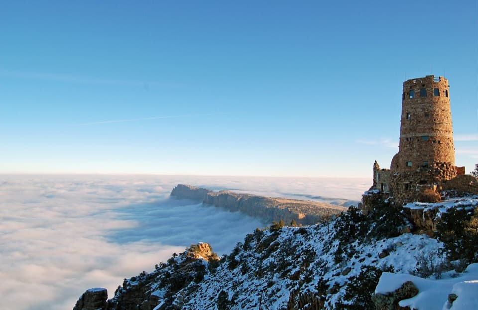 Sight · 4 mi awayDesert View WatchtowerColter’s stone tower frames the Colorado River from the South Rim.
 Store · 4.1 mi awayDesert View Trading Post and Ice CreamA canyon-facing scoop after browsing handmade crafts.
 Store · 4.1 mi awayDesert View Market & DeliQuick groceries, deli food and camping basics at Desert View.
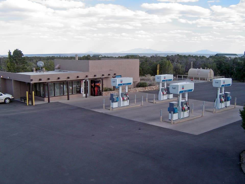 Gas station · 4.3 mi awayDesert View Gas StationFill up here before the next pump, 30 miles down the road.
 Campground · 4.4 mi awayDesert View CampgroundCamp among junipers, then walk to the rim for sunrise.
 Sight · 4.4 mi awayNavajo PointSouth Rim's highest overlook, with river views and an aviation memorial.
 Entrance station · 4.6 mi awayDesert View Entrance StationEastern gate to Desert View, often less crowded than the South Entrance.
 Sight · 4.9 mi awayLipan PointThe South Rim's longest look along the Colorado River.
Parkwolf’s Grand Canyon ranking

The audio tour guide for the drive, plus offline maps, trails, and wildlife heatmaps for when the signal drops.