
Place · 0 mi away
Challenging
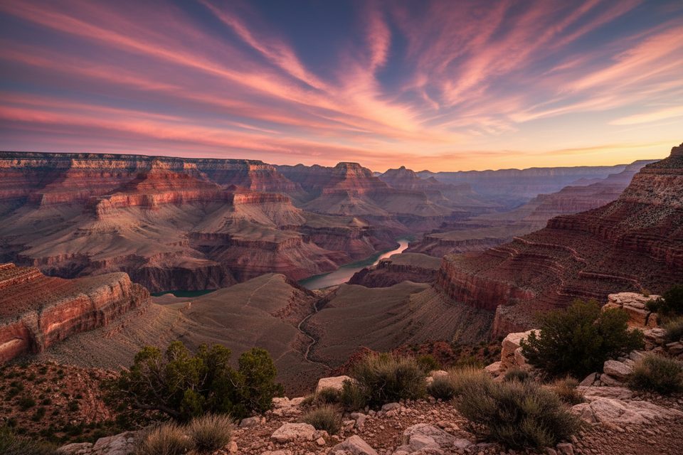
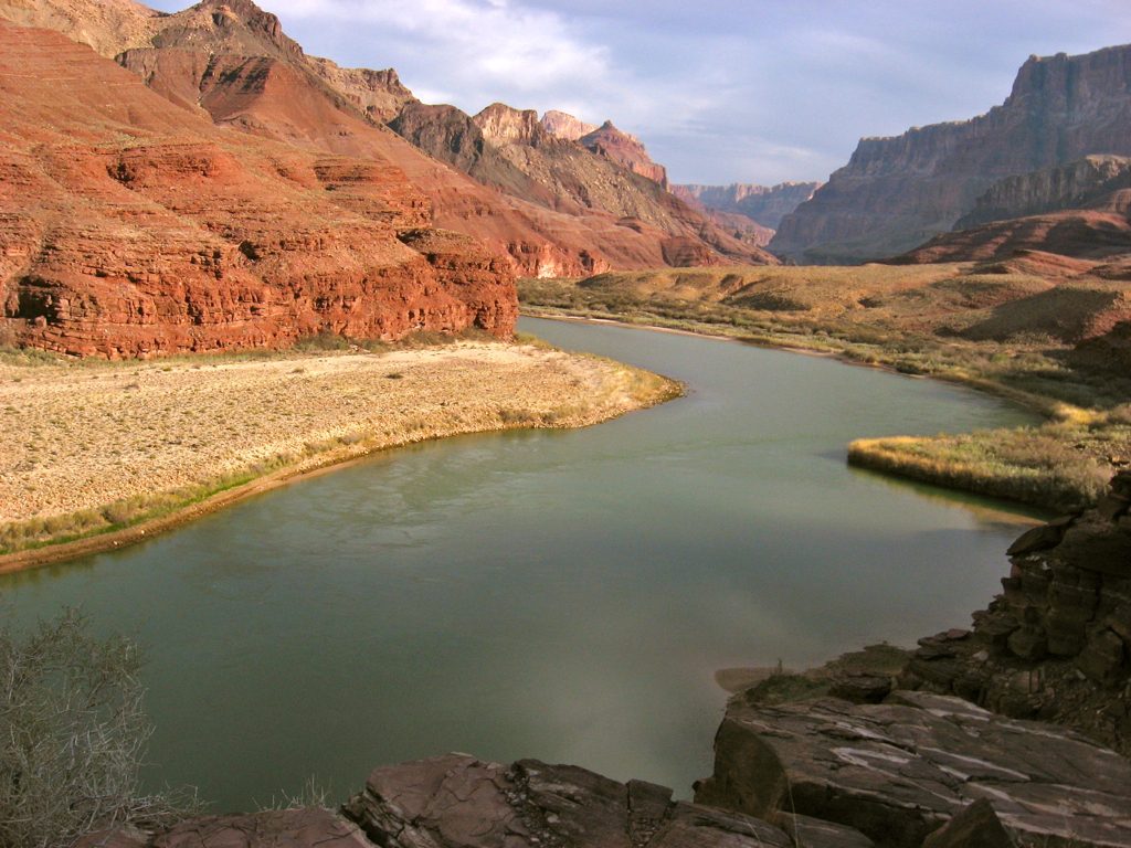
If you want the Grand Canyon at its wildest—empty beaches, sculpted slot canyons, and nonstop river views—the Escalante Route delivers. This is not a maintained trail; it’s a cairned, choose‑your‑own‑adventure traverse hugging the Colorado River between Tanner Rapid and Hance Rapid. Expect solitude, jaw‑dropping scenery, and real consequences if you’re not prepared.
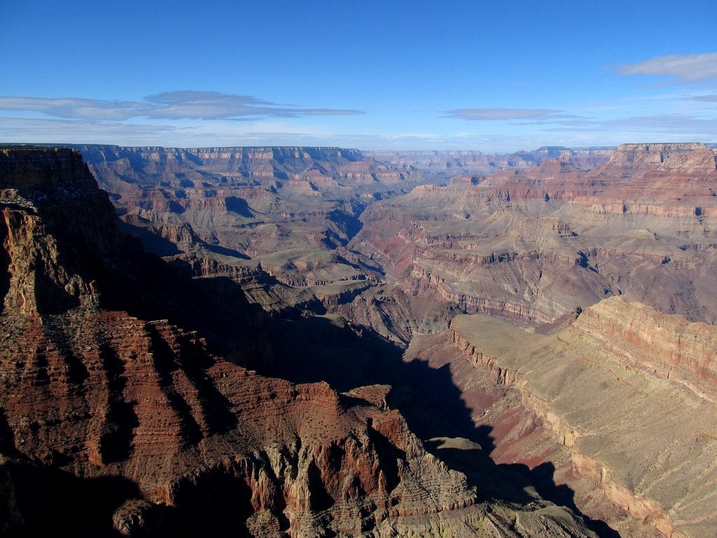
The route threads past sweeping river vistas, sandy beach camps, and side canyons like the photogenic 75‑Mile Canyon, a narrow slot filled with dramatic Tapeats Sandstone walls. It brushes notable rapids (Nevills, Hance) and the red rock country around Red Canyon. The headline obstacle is the Papago Wall—a short but serious cliff scramble where most parties haul packs with a rope.
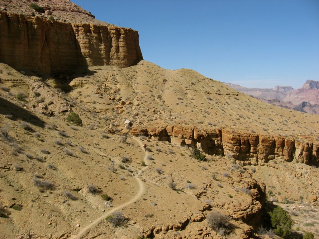
The Escalante segment itself is roughly 9 miles one way between Tanner Rapid and Hance Rapid. Most hikers link it into a bigger 24–32 mile, 3–5 day itinerary: descend via the Tanner Trail from Lipan Point, traverse the Escalante Route along the river, then exit via the Tonto/Grandview or New Hance Trails. Travel is slow: unmaintained tread, boulders, ledges, and intermittent cairns make navigation and footwork constant.
This is an expert‑level backpack for people comfortable with exposure, scrambling, and off‑trail navigation. The Papago Wall can feel intimidating (a rope to haul packs is strongly recommended). Summer heat is dangerous; winter brings short days and potential ice on the rim. Monsoon storms can turn slots and side drainages into flash‑flood hazards. There’s no cell service and rescues are difficult.
Plan on the Colorado River as your only reliable water source. It’s silty—bring a wide‑mouth container to settle sediment and a filter; alum powder helps it clear faster. Hance Creek may flow but is unreliable. Beach camps along the river are a major perk if you’ve got the skills and permit.
Overnights require a Grand Canyon backcountry permit. This is a point‑to‑point route, so arrange a shuttle. A smart strategy is to park at the overnight lot at Grandview Point (if exiting there) and start at Lipan Point to descend the Tanner Trail to Tanner Beach. Carry a topo map and GPS; do not rely solely on cairns.
Spring (March–May) and fall (September–November) are the sweet spots for temperatures and daylight. Avoid summer heat; in late summer, watch the forecast closely and avoid slot sections during storm threats. Winter can be beautiful but brings icy approaches and very short days.
Incredible and demanding. If you have the experience—and the rope—this is one of the canyon’s most rewarding river‑level traverses. If you want signage and straightforward tread, choose a maintained corridor route instead.
Popular shuttle strategy: park at the overnight hikers’ lot at Grandview Point (common exit), then start at Lipan Point to descend the Tanner Trail. If not shuttling, park at Lipan Point for the Tanner Trail access.
Unmaintained, exposed route with Class 3–4 scrambling at the Papago Wall; carry a rope to haul packs. Extreme heat risk in summer; winter rim approaches can be icy. Flash floods possible in slot and side canyons during storms. Water is primarily the silty Colorado River—settle and filter (alum recommended). Remoteness and lack of cell coverage make self‑rescue unlikely.
Place · 0 mi away
Place · 0.9 mi away
Place · 1.5 mi away
Place · 1.7 mi away
Challenging · 0 mi away
Challenging · 0 mi away
Easy · 1.5 mi away
Easy · 1.5 mi away

Parkwolf Tour Guide
