
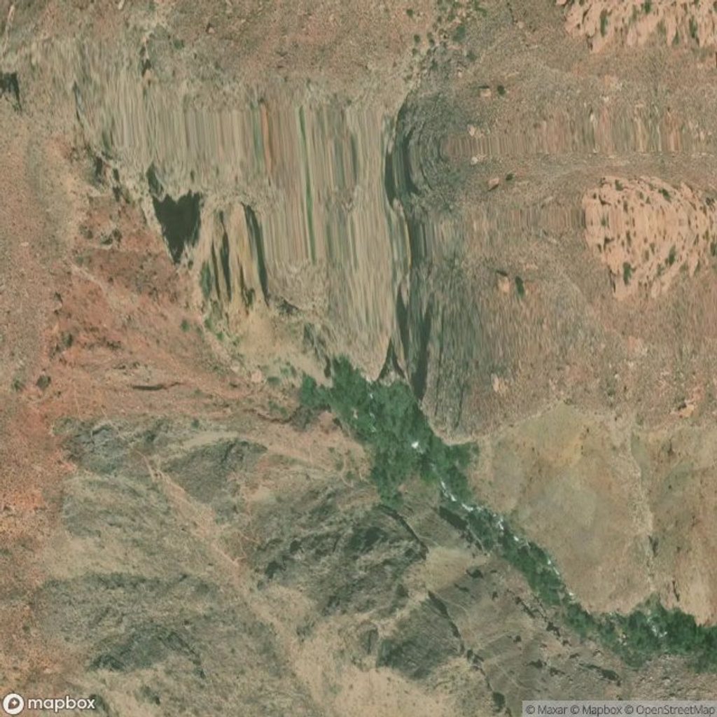
Place · 4.8 mi away
Challenging
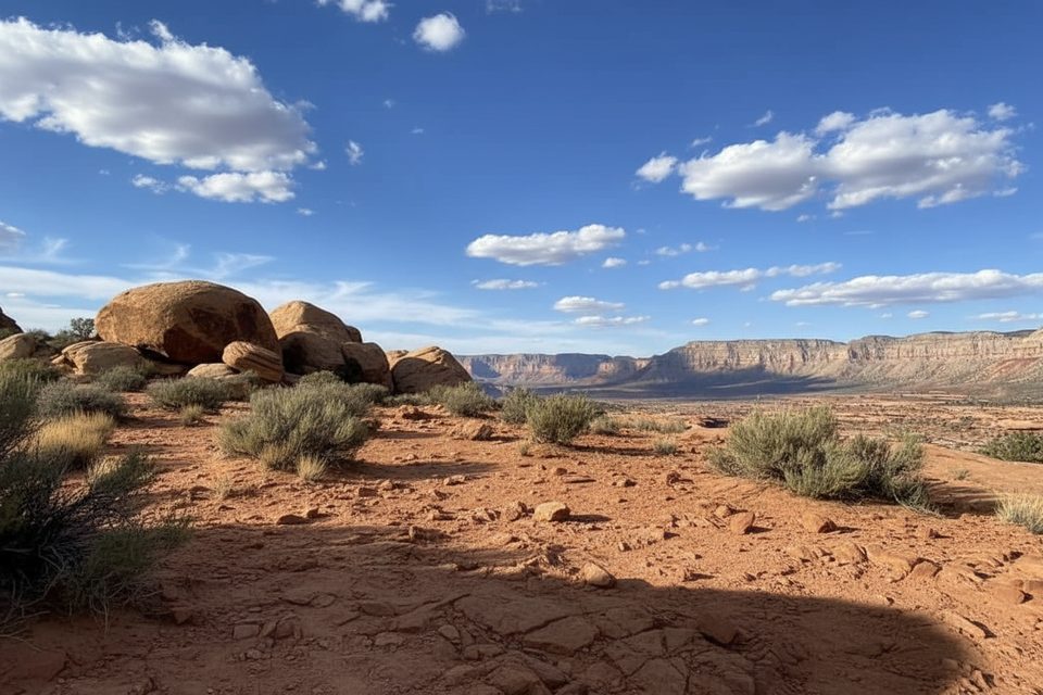
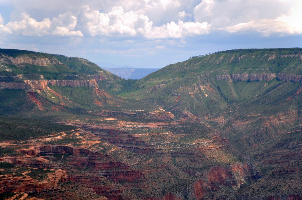
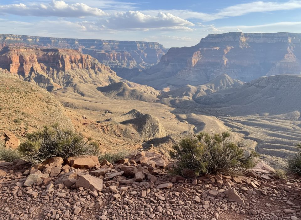
If you want solitude and a dramatic North Rim descent into the Thunder River/Deer Creek backcountry, Indian Hollow is the quieter, gentler approach. It starts near Indian Hollow Campground in cool pine forest, then drops onto the Esplanade—a broad, red slickrock terrace with huge views—before continuing toward classic inner‑canyon scenery.
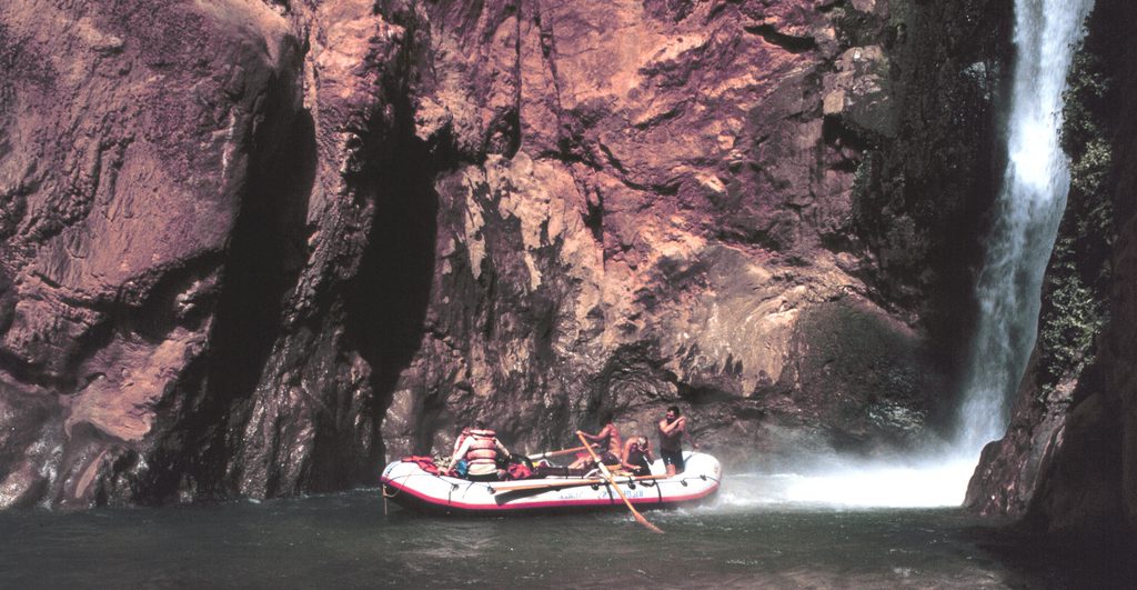
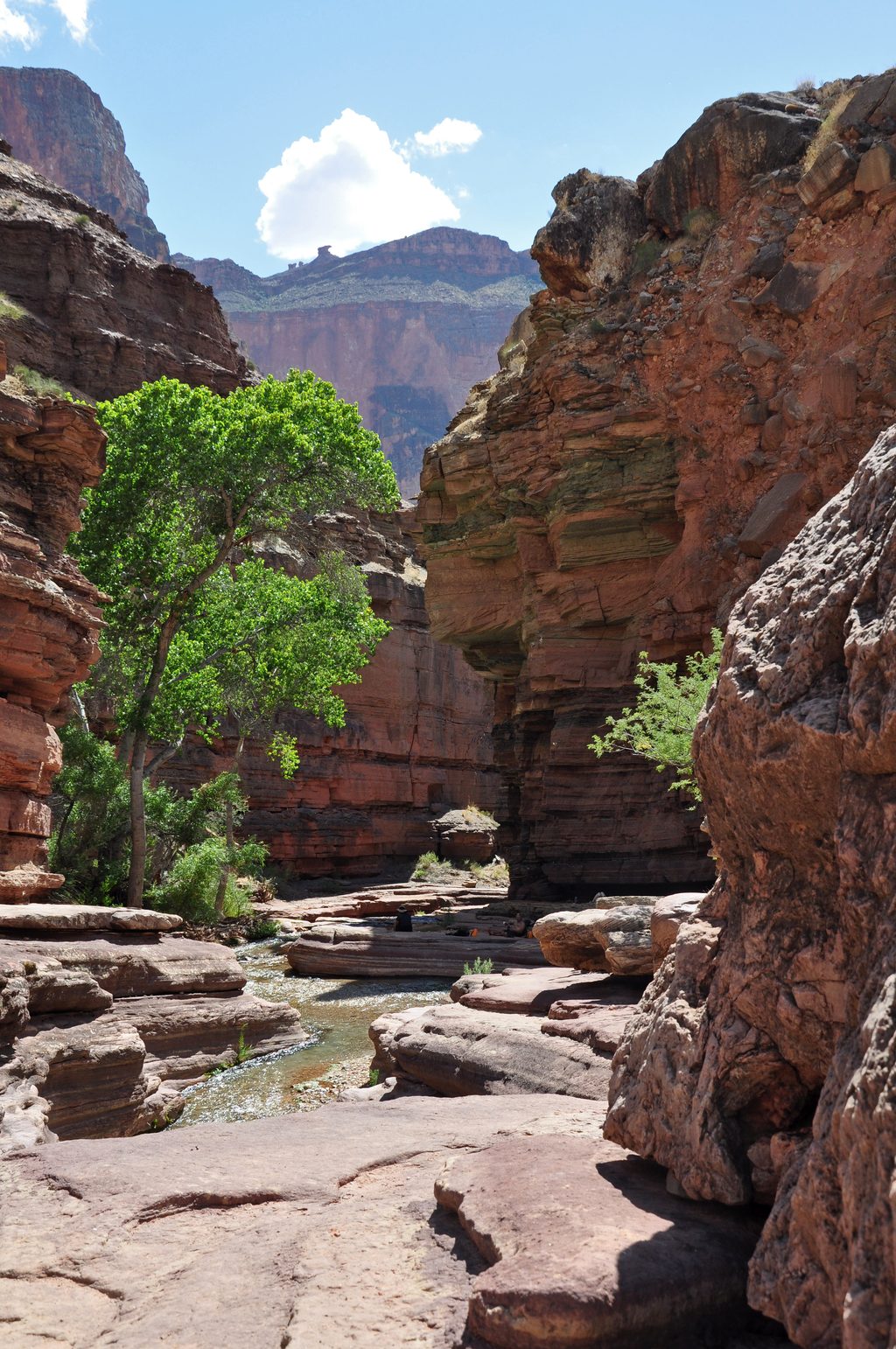
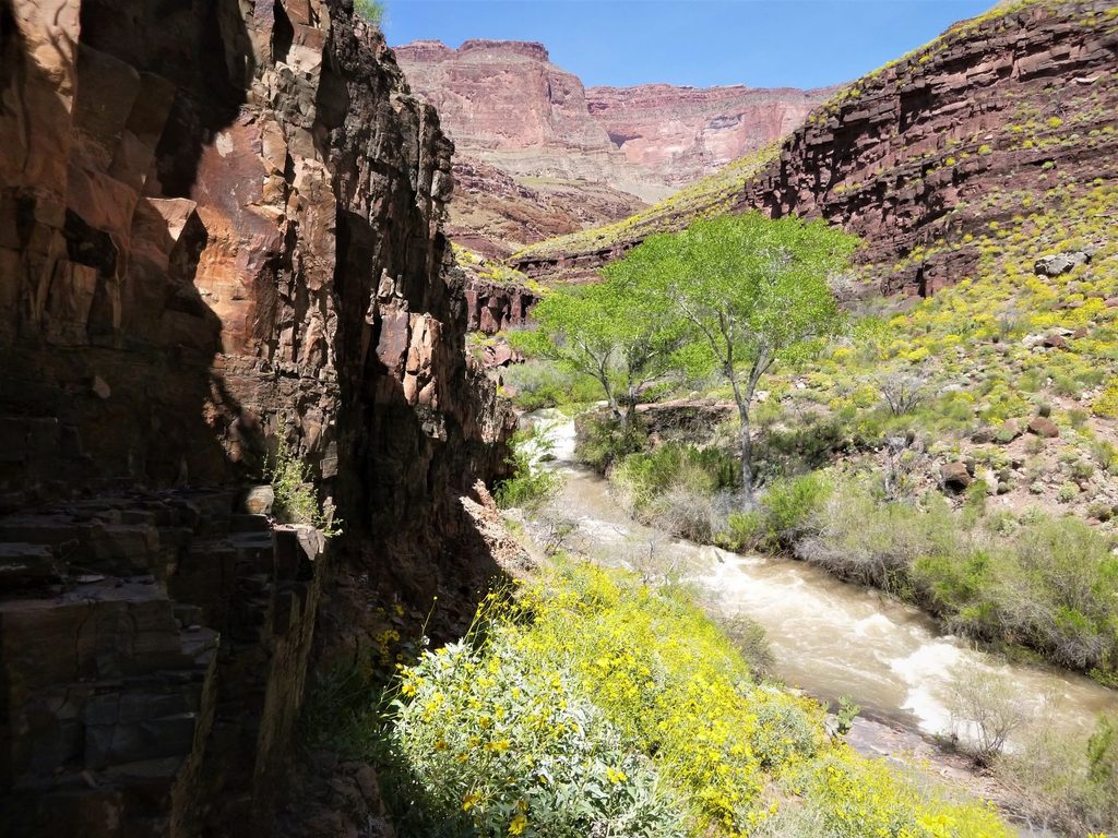
Plan on roughly 9 miles one way from the Indian Hollow Trailhead to the Thunder River Trail junction, or about 6.3 miles one way to the Bill Hall junction. Expect a remote, lightly trafficked path that transitions from forest to slickrock and then steep, rubbly descents through the Supai and into the sheer Redwall. Ultimately, the route reaches Surprise Valley—a stark, sun‑blasted basin above the Colorado River—and connects to legendary destinations like Thunder River and Deer Creek with their waterfalls, lush oases, and sculpted narrows.
This is an advanced backcountry hike: long, rugged, and exposed. Across the Esplanade, cairns mark the route; the park advises always identifying the next cairn before the last is out of sight. Past the Esplanade, tread gets rough and steep. In wet periods, potholes can hold water and create minor hazards or detours, and occasional down‑climbs may be needed if you poke into side canyons.
Water is scarce on the Indian Hollow approach—carry what you need and consider strategic caching at key junctions. Excellent primitive camps exist on the Esplanade; use established sites to protect the fragile desert surface. All overnight trips require a Grand Canyon backcountry permit.
Best time: late spring and early fall. Surprise Valley can become dangerously hot by mid‑morning in summer; this route is generally not recommended then. Start pre‑dawn for long days, and plan for full sun across the slickrock benches.
You’ll walk a cross‑section of Grand Canyon geology—from forested rim to the Esplanade (Supai Formation), down through the Redwall Limestone, and into the landslide‑shaped terrain of Surprise Valley. It’s big, raw canyon country with real commitment and real payoff.
Prefer shorter but steeper? The Bill Hall approach trims about 3.7 miles to the same inner‑canyon destinations but includes a 15‑foot scramble. Indian Hollow skips that move and spreads out the effort.
Park at the Indian Hollow Trailhead by Indian Hollow Campground on North Rim forest roads; verify seasonal road conditions before you go.
Remote, rugged, and exposed. Water is scarce; carry or cache. Route‑finding required on cairned slickrock. Steep, rubbly descents through the Redwall. Summer heat in Surprise Valley can be dangerous—start very early or avoid summer.
Place · 4.8 mi away
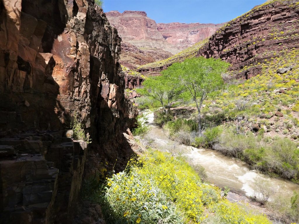
Place · 5 mi away
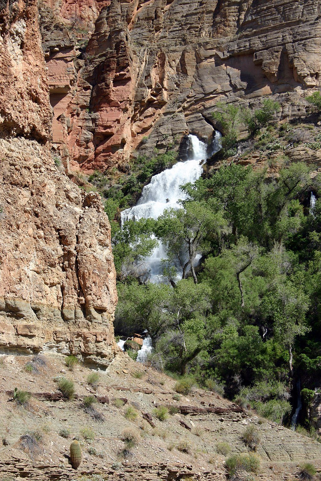
Place · 5.2 mi away
Place · 5.3 mi away
Challenging · 3.6 mi away
Challenging · 3.6 mi away
Challenging · 3.6 mi away
Challenging · 3.6 mi away

Parkwolf Tour Guide
