
Place
Challenging
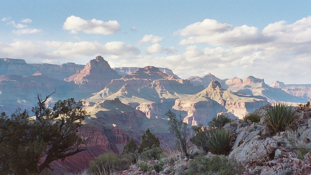
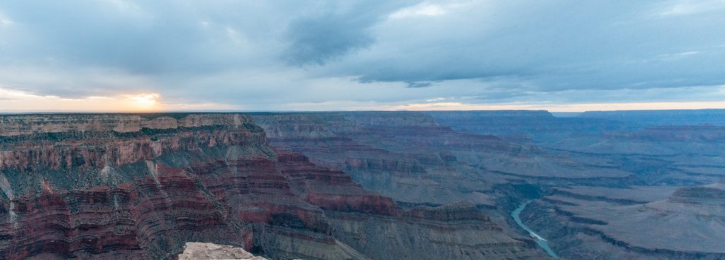
If you crave raw Grand Canyon backcountry—the kind with serious solitude, big geology, and zero hand-holding—the New Hance Trail delivers. This unmaintained South Rim route drops through vividly colored Red Canyon to the Colorado River at Hance Rapids. It’s 6.5 miles one way (about 13 miles round-trip) with roughly 4,400 feet of elevation loss and gain. Translation: huge views, a serious workout, and a truly wild feel. Not for beginners.
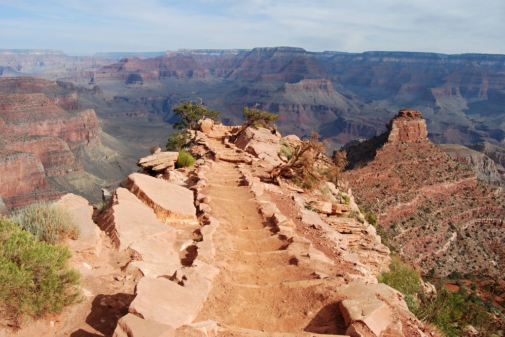
From the unmarked trailhead, the tread plunges steeply on loose rock and rubbly switchbacks. Expect hands-for-balance moves, narrow traverses, and some route-finding where slides or braided washes blur the path. Traffic is light to nonexistent—don’t count on help. At the bottom, you pop out near Hance Rapids where deep red walls meet the green Colorado; there’s a large sandy beach area and quieter camps downstream at the foot of a dune (permit required if you stay overnight).
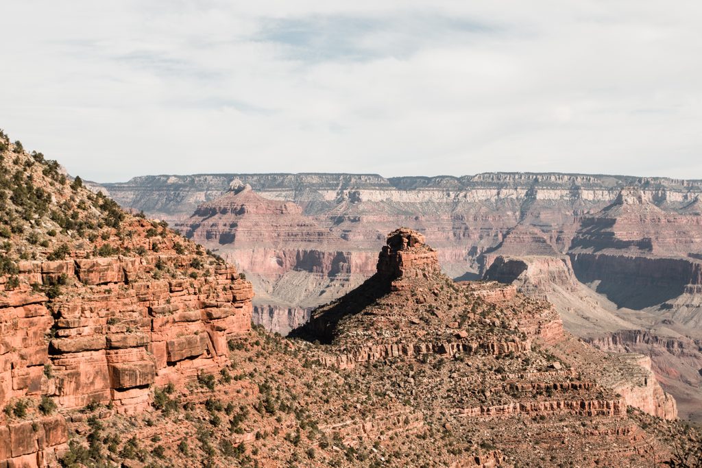
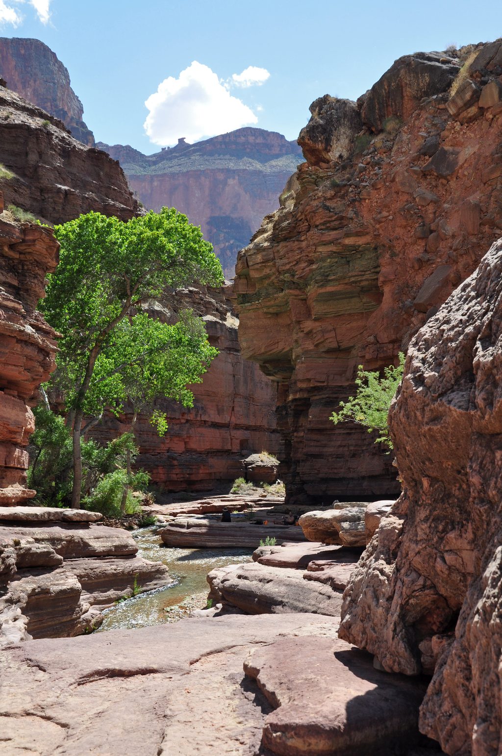
You’ll pass marquee layers on the way down—Kaibab Limestone, Toroweap, Supai, Redwall Limestone—and into the colorful Grand Canyon Supergroup. The Supergroup exposures here are a standout: bold reds and oranges, dark intrusions, and textbook contacts. If you like your hiking with a side of Earth history, this route is a dream.
Length is 6.5 miles one way; most hikers treat this as a backpack to split the climb. Water is scarce to nonexistent en route—treat the Colorado River as your only reliable source. Bring plenty (4+ liters per person to reach the river) and a solid filter. Camping is at-large within Red Canyon’s use area, including the river beaches—permits are required for any overnight.
From Grand Canyon Village, drive about 13 miles east on Desert View Drive (Highway 64). Look for the first road on the right past the Buggeln Picnic Area and park there. There’s no parking right at the trailhead; expect a short (about five-minute) walk to the unmarked start.
Spring and fall offer the sanest temperatures. Summer heat is brutal and escalates risk quickly; winter often adds ice and snow up high—treacherous on steep, loose terrain. Whatever the season, start early, pace the descent, and budget ample time for the monster climb out.
Navigation matters. Carry a map, compass, and GPS, and be comfortable using them. Trekking poles and real boots help on the loose, marbly footing. Plan conservatively: the downhill feels fast; the return climb is a grind. If you want big canyon scenery with more support and water access, the South Kaibab/Bright Angel corridor is the safer alternative.
Strong backpackers often link New Hance west on the Tonto Trail or east on the Escalante Route after camping at the river. These are committing traverses—treat them with the same seriousness as the descent.
Park along Desert View Drive just past Buggeln Picnic Area (first road on the right) and walk about five minutes to the unmarked trailhead; no parking at the actual TH.
Unmaintained, very steep, and loose with exposure and route-finding. Extreme heat in summer; ice/snow in winter. Water is only reliable at the Colorado River—treat/filter. Overnight camping requires a backcountry permit.
Place
Place
Place
Place
Challenging
Challenging
Challenging
Challenging

Parkwolf Tour Guide
