Parking
Use the North Kaibab Trailhead lot, about 2 miles north of Grand Canyon Lodge on AZ-67. The lot also serves Uncle Jim Trail; plan a separate return or overnight itinerary for the river endpoint.
Grand Canyon National Park, AZ
A steep, forested 14.2-mile descent to the Colorado River.
Overview
Map & elevation
Plan your hike

The highest, rockiest slopes around here are a summer buffet for grizzly bears.
Grand Canyon Tour Guide
Parkwolf is a GPS audio tour guide for Grand Canyon National Park. As you drive, it chimes in with what’s ahead: hidden gems, upcoming stops, history, geology, and wildlife, right through your car’s speakers.
See the Grand Canyon audio tourRecorded for this trailhead
North Kaibab Trailhead“You're approaching North Kaibab Trailhead, where steep switchbacks descend through fir and aspen into Roaring Springs Canyon.”
Plays as you drive up to this trailhead in the Parkwolf Grand Canyon Tour Guide.
More stories near here in the app
“Fantastic app with many points of information… It’s great to just turn on while you’re driving and it gives you an audio tour of the national Park. We love it!!!!”


Trail guide
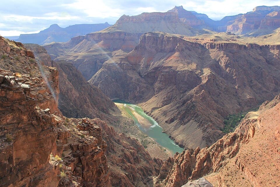
North Kaibab is the North Rim’s long route to the river: 14.2 miles one way from North Kaibab Trailhead to the Colorado River, with about 5,850 feet of descent from an 8,241-foot start. It drops from fir and aspen forest through Roaring Springs Canyon, then follows Bright Angel Creek down the inner canyon. This is a point-to-point hike, not a return loop; the river has no road access, so plan the rest of your inner-canyon itinerary before you set out. The park advises against hiking the entire trail in one day, especially in summer.
Mileage marks Phantom Ranch at 13.6 miles and Bright Angel Campground at 14.0; the full rim-to-river route is 14.2 miles. A one-way hike to Phantom Ranch is shorter than the full river endpoint represented here. Food and lodging at Phantom Ranch require reservations.
For a day hike, choose a much shorter out-and-back and remember that every step down is a step you’ll climb on the return. Coconino Overlook is 1.4 miles round trip, about 790 feet down, and usually takes 1–2 hours. Supai Tunnel is 4 miles round trip, about 1,400 feet down, and takes 2–4 hours. Redwall Bridge is 5.2 miles round trip, about 2,200 feet down, and takes 4–6 hours. The park recommends checking with a ranger before going beyond Redwall Bridge and back in one day.
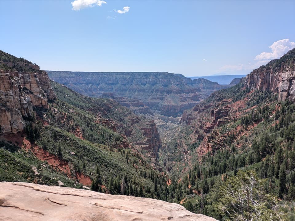
The trail starts high on the North Rim, at 8,241 feet, and immediately drops on steep switchbacks through firs, aspen, ferns and wildflowers. Coconino Overlook is the early payoff: look down Roaring Springs Canyon through the trees. It’s a good place to turn around if you want a real canyon descent without committing to the tunnel.
Below the overlook, more switchbacks lead out of the forest to Supai Tunnel, cut through the rock at about 1.7 miles one way. The tunnel is a memorable turnaround, but the return climb is much steeper than the short distance suggests. Beyond it, the route zigzags down a sunny, south-facing slope, then crosses Redwall Bridge and climbs slightly onto a narrow ledge cut into limestone. The ledge looks down toward Roaring Springs, its pump-house roofs and the strip of trees along the creek.
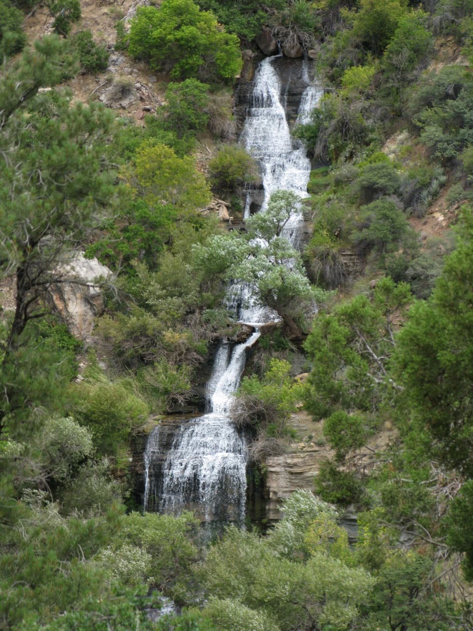
A short detour reaches Roaring Springs, where water spills from the canyon wall over moss and ferns to form Bright Angel Creek. The creek then accompanies the trail toward the river. The bottom of the canyon is less relentlessly steep than the switchbacks above, but this is still a long way from the rim. Manzanita Rest Area is about 5.4 miles from the trailhead; Cottonwood Campground is about 6.8 miles in. The trail crosses Bright Angel Creek six times.
The present route was built through the 1920s. It replaced an older trail that crossed Bright Angel Creek 94 times; today’s trail crosses it six times. The Supai Tunnel and the half-tunnels above Roaring Springs were blasted through the rock to make the route possible.
The trail cuts through the Supai Formation and the much older Redwall Limestone, around 310 million and 350 million years old respectively. Roaring Springs is also part of the park’s water system: a pipeline beneath the trail carries its water toward the South Rim. It was installed from 1965 to 1970, and the pump house is visible among the creekside trees.
The upper trail can be icy or snowbound in winter and early spring. In hotter months, shade temperatures in the canyon routinely top 100°F; the park advises avoiding the trail from 10 a.m. to 4 p.m. July through September brings monsoon storms and dangerous lightning. Water at Supai Tunnel and Cottonwood is seasonal, generally listed from mid-May to mid-October, so check the park’s current water status before relying on a source. Pets are not allowed below the rim. Day hikes do not require a backcountry permit, but overnight camping in the canyon does.
Wildlife
 718 sightingsCalifornia CondorMost seen around 5 PMSighting map
 533 sightingsBighorn SheepMost seen around 7 AMSighting map
 169 sightingsAmerican BisonMost seen around 7 PMSighting map
 1,891 sightingsElkMost seen around 6 AMSighting map
 59 sightingsCoyoteMost seen around 6 PMSighting map
 27 sightingsGray FoxMost seen around 6 AMSighting map
Sighting maps show where each species has been reported across Grand Canyon. Wildlife moves, so no sighting is guaranteed.
Keep exploring
 ChallengingRoaring Springs Trail9.4 mi · 7.5 hr · At the trailheadA strenuous North Rim descent reaches a spring pouring from the cliffs.
 ChallengingOld Bright Angel Trail Loop14 mi · 11 hr · At the trailheadAn overgrown canyon loop for hikers comfortable finding their own way.
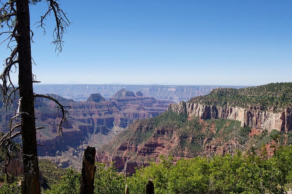 ModerateUncle Jim Trail4.7 mi · 3 hr · At the trailheadA forest loop with a wide view down Bright Angel Canyon.
 EasyBridle Path1.6 mi · 1 hr · At the trailheadA short, hard-packed connector from North Kaibab to the former lodge lot.
 ChallengingRim-to-Rim: North Kaibab to Bright Angel23.5 mi · 16 hr · At the trailheadA point-to-point crossing from North Rim forest to the South Rim.
 ModerateArizona Trail Passage 39: Grand Canyon – North Rim12 mi · 6.5 hr · At the trailheadA high forest traverse with a canyon overlook at the North Rim
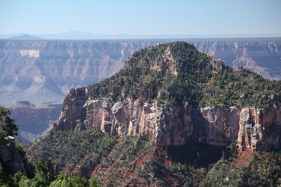 ModerateTransept Trail2 mi · 1.5 hr · 0.2 mi awayFollow pine shade to overlooks above a deep side canyon.
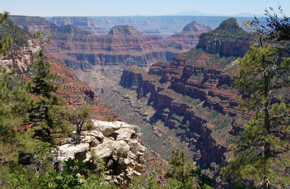 ModerateWidforss Trail10 mi · 6 hr · 0.7 mi awayForest miles open into wide canyon views at Widforss Point.
 Sight · 0.2 mi awayCoconino OverlookA steep 1.4-mile out-and-back earns a Roaring Springs Canyon view.
 Gas station · 0.3 mi awayNorth Rim Service StationA seasonal fill-up just beyond the campground turn.
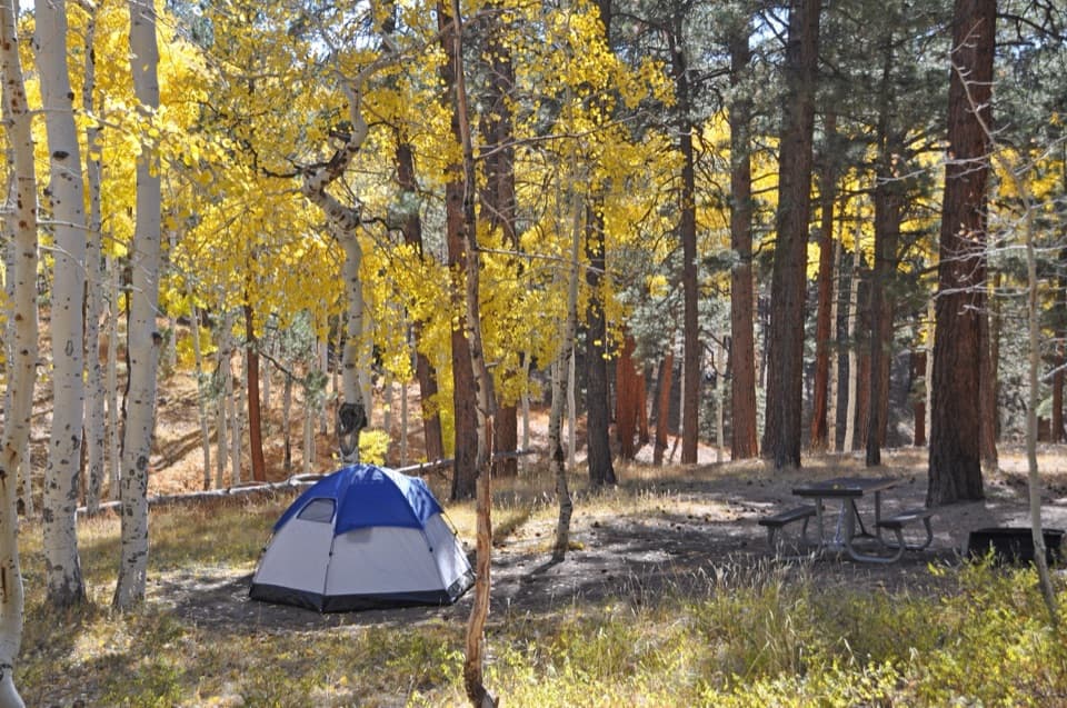 Campground · 0.5 mi awayNorth Rim CampgroundA forested base for a North Rim stay.
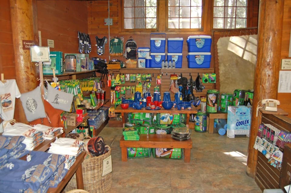 Store · 0.5 mi awayNorth Rim General StoreA seasonal shop for campground supplies and trail snacks.
 Sight · 0.6 mi awaySupai TunnelA four-mile hike to a tunnel framing streaked sandstone.
 Sight · 1.7 mi awayBright Angel PointA high rim panorama framed by the canyon’s temple buttes.
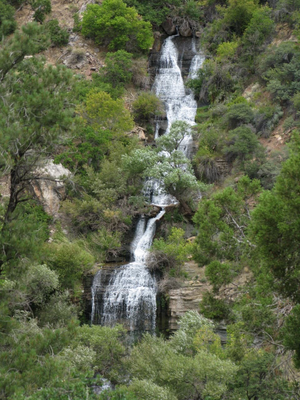 Sight · 2 mi awayRoaring SpringsA lush waterfall at the end of a steep canyon hike.
 Campground · 3.4 mi awayCottonwood CampgroundSleep beneath the canyon walls beside Bright Angel Creek.
Parkwolf’s Grand Canyon ranking

The audio tour guide for the drive, plus offline maps, trails, and wildlife heatmaps for when the signal drops.