
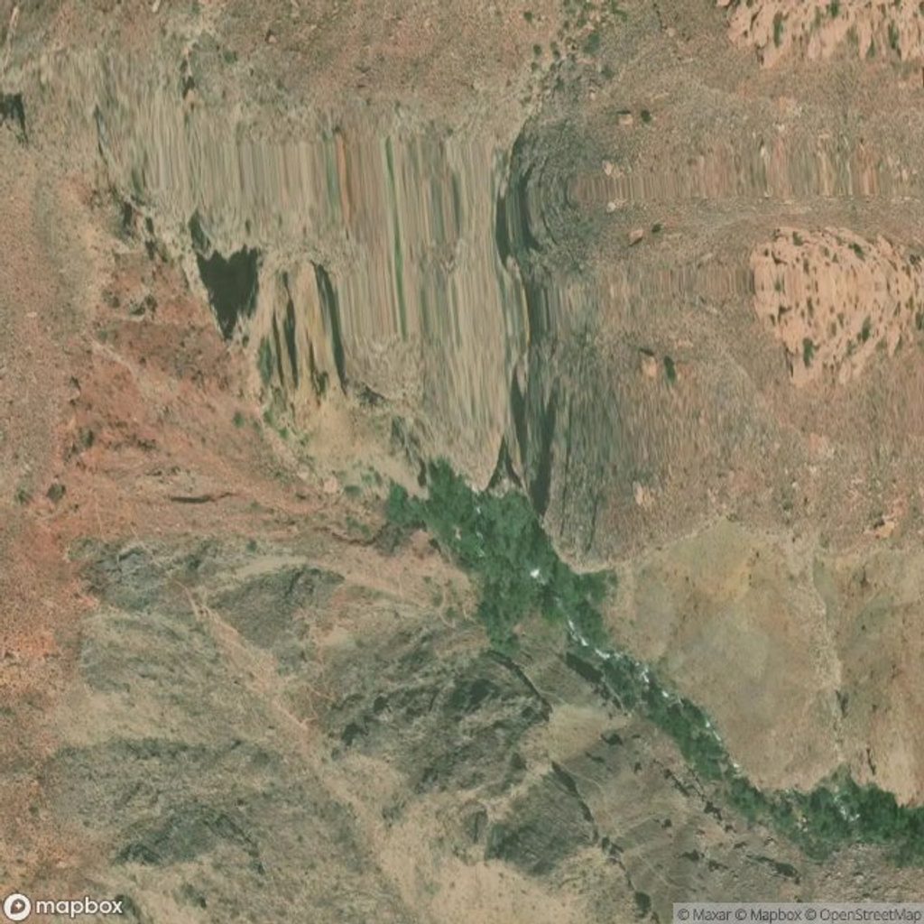
Place · 3.1 mi away
Challenging
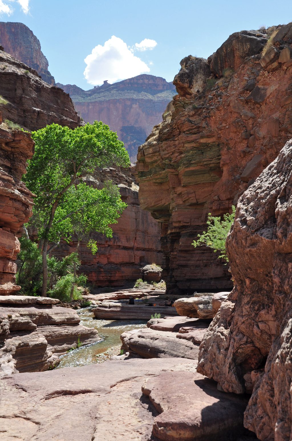
Deer Creek is one of the Grand Canyon’s most rewarding side canyons: a rare desert oasis capped by a 180‑foot waterfall on the Colorado River, sculpted Tapeats Sandstone narrows, and the shady, water‑laced Patio. Expect rugged, committing terrain and a long approach that keeps crowds down.
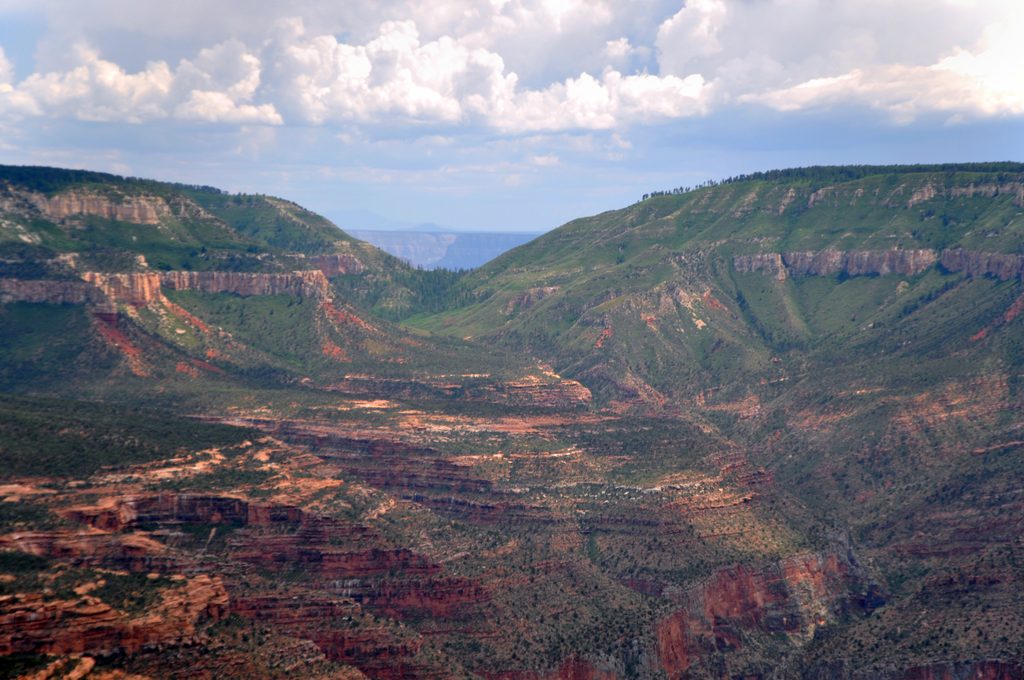
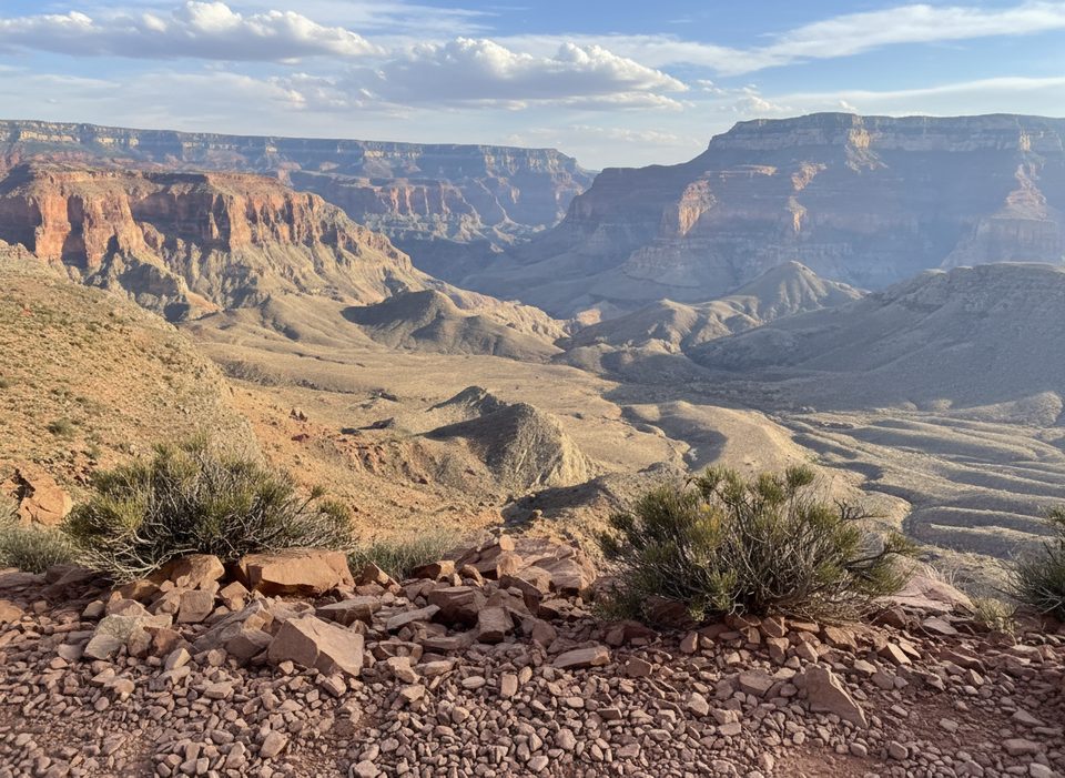
Route options matter here. The named Deer Creek Trail itself runs roughly 5 miles one way between the Colorado River and the Thunder River Trail junction in Surprise Valley. Most backpackers, however, reach Deer Creek from the North Rim via the Bill Hall/Thunder River approach and treat it as an out‑and‑back to the river—about 22–24 miles total over 2–3 days with steep descents, exposed ledges, and big elevation loss/gain. River runners can sample a short, challenging out‑and‑back from the river to the falls and narrows.
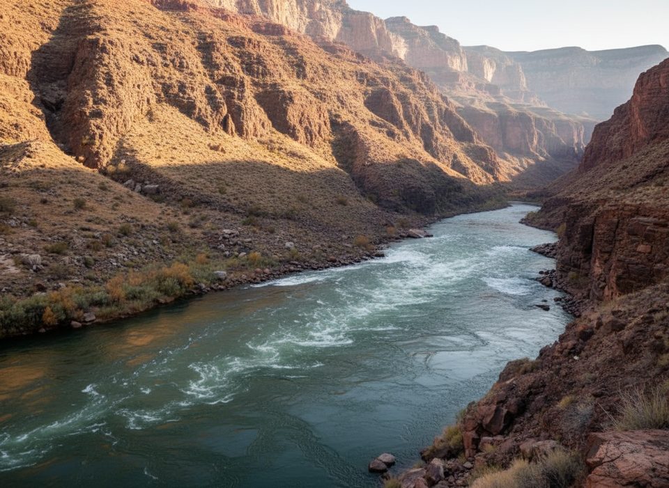
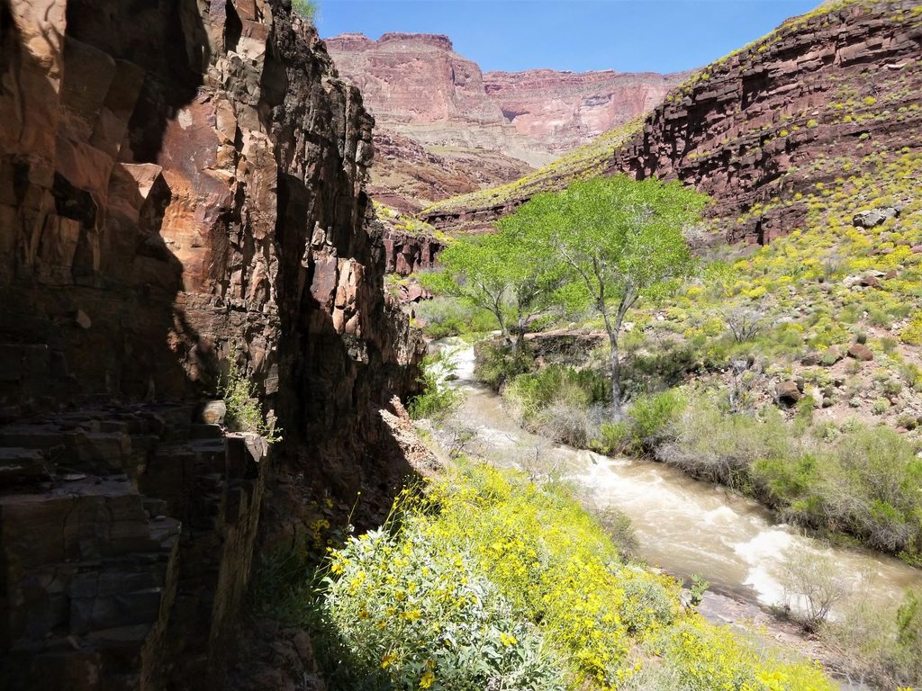
What you’ll see: a perennial creek threading polished, banded walls, a dramatic narrows carved into Tapeats Sandstone, and the Patio—an oasis of shade, pools, and lush vegetation that’s tailor‑made for lingering. Sections above the narrows traverse narrow ledges with real exposure, and footing grows rough and loose near Deer Spring. Crossings can be tricky near the Deer Creek–Deer Spring confluence depending on season and recent weather.
This place carries deep cultural significance to the Southern Paiute people. The narrows below the Patio are closed to entry—respect closure signs and stay on designated paths. Flash flooding is a real hazard during storms; be conservative around weather, especially in confined sections near the creek and the waterfall.
Best time to hike: spring and fall deliver the friendliest temperatures for the long North Rim approach and pleasant water levels at the creek. Summer can be brutally hot and exposed. In winter, snow/ice can make North Rim access difficult or impossible—always check road and trail conditions. If you’re driving to Bill Hall/Monument Point, the remote forest roads are rough and confusing; bring a detailed Kaibab National Forest map and don’t count on cell service.
Logistics and tips: overnight trips require a park backcountry permit. Deer Creek provides reliable water, but always filter/treat and carry enough for long, dry stretches. The ledge traverses above the narrows are airy—hikers with a fear of heights should take real care. Camping exists in designated spots in the drainage above the narrows; never camp in the narrows themselves. Leave No Trace is non‑negotiable in this sensitive canyon.
Park at Bill Hall Trailhead (Monument Point) on the North Rim via FR 22, FR 425, and FR 292A; remote, rough roads—carry a Kaibab National Forest map and do not rely on cell service.
Flash‑flood danger in narrows; exposed, narrow ledges; rough, loose footing near Deer Spring; tricky creek crossings near the Deer Creek–Deer Spring confluence; narrows below the Patio are closed to entry; permits required for overnight trips.
Place · 3.1 mi away
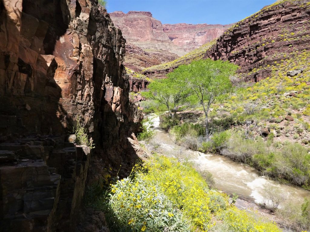
Place · 3.1 mi away
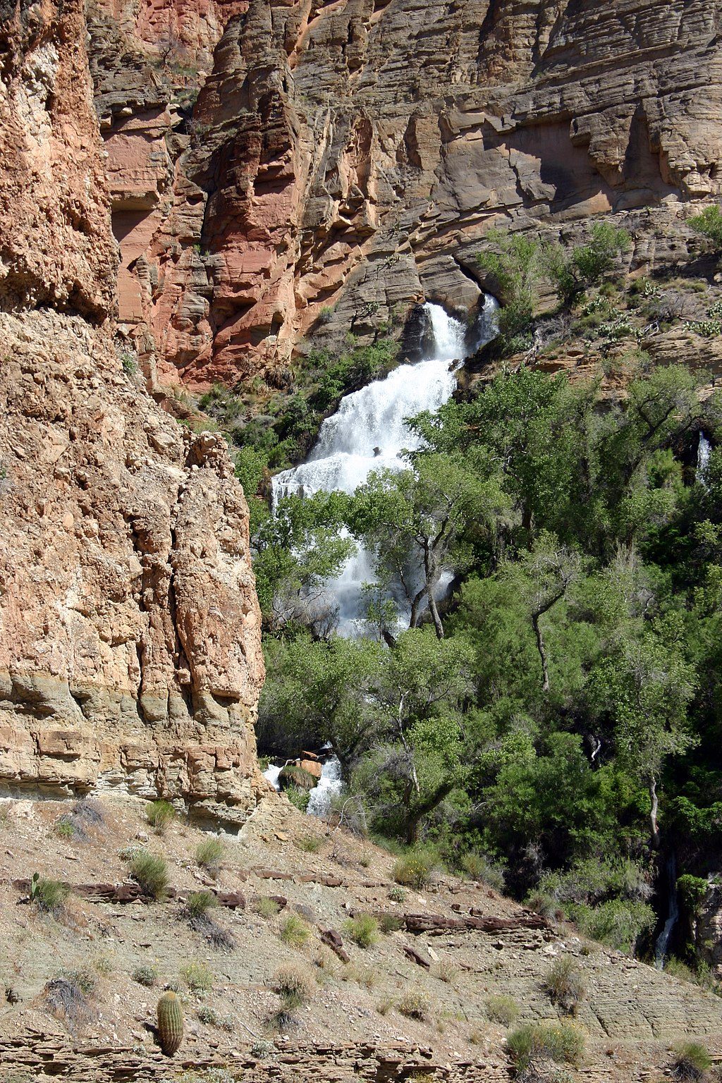
Place · 3.2 mi away
Place · 5 mi away
Challenging · 0 mi away
Challenging · 0 mi away
Challenging · 0 mi away
Challenging · 3.6 mi away

Parkwolf Tour Guide
