Pros & cons
PROS
- Frequent shaded resthouses with toilets and often water every ~1.5 miles
- Lush Havasupai Gardens oasis offers a rewarding, manageable turnaround
CONS
- Mule traffic is common and can slow progress
- Water sources are seasonal—can’t be fully relied on
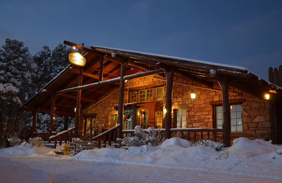
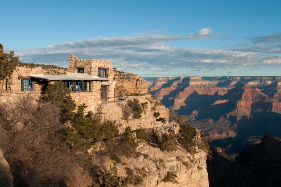
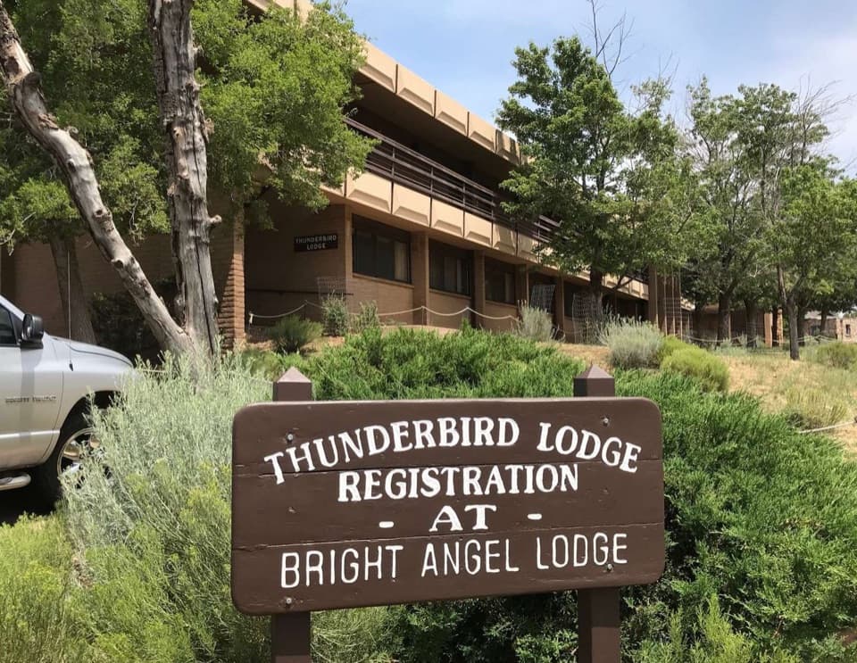
Trailhead is next to Bright Angel Lodge in Grand Canyon Village; use nearby village parking and walk to the signed trailhead.
Extreme summer heat below the rim, icy upper switchbacks in winter, mule traffic, and seasonal water shutoffs. Do not plan rim-to-river-to-rim in a day unless highly experienced and prepared.
What to expect
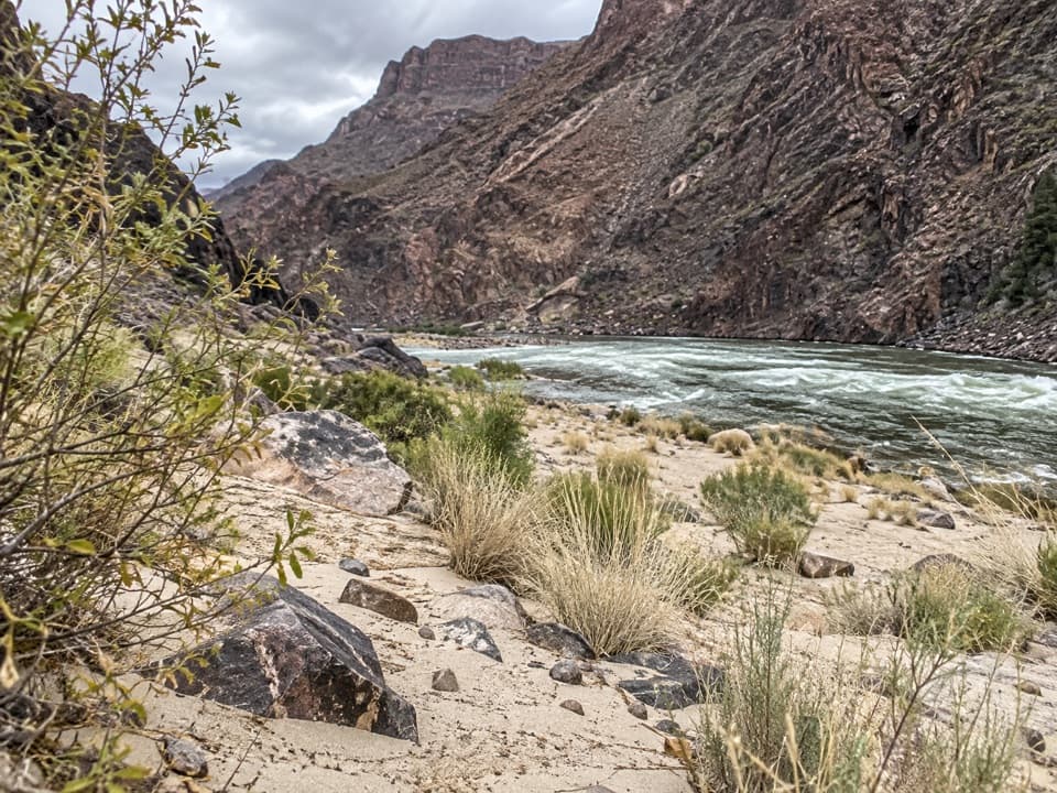
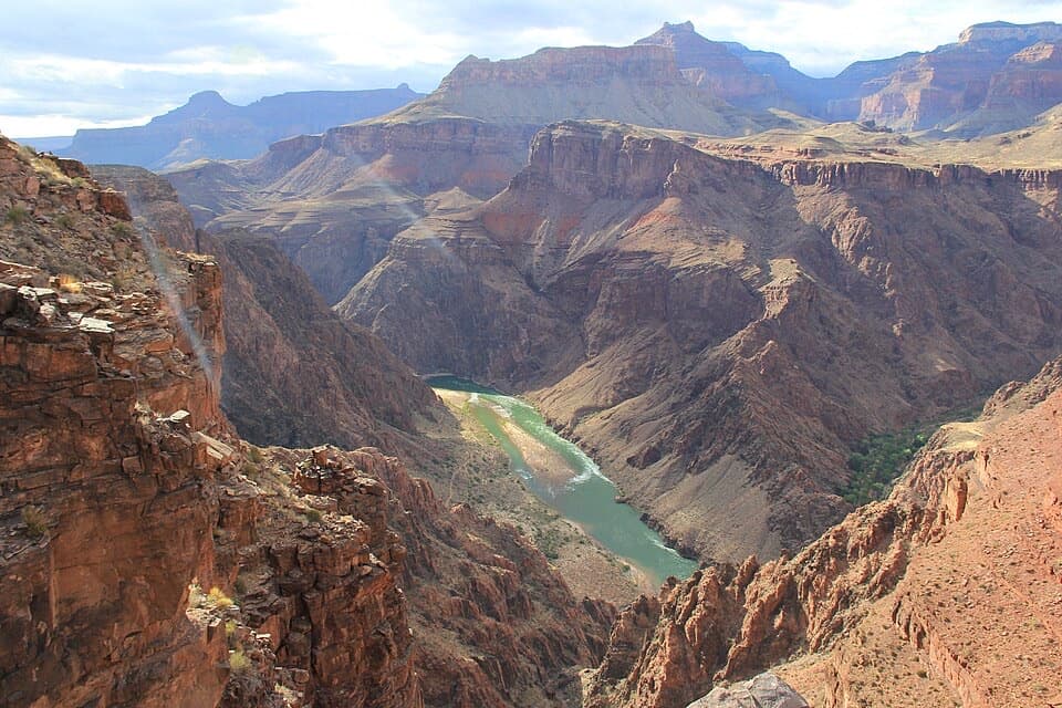
This is the South Rim’s signature descent into the canyon—steep switchbacks, huge walls, and nonstop views. The trail is wide, well-built, and busy with hikers and park-authorized mule trains. It drops from about 6,860 feet at the rim to roughly 2,480 feet near the Colorado River, a punishing ~4,380 feet of elevation change you’ll feel most on the way back up. Going down is easy; coming up is the workout.
You’ll pass through a geologic time machine: pale Kaibab Limestone at the rim, down past the shale-heavy Tonto Platform around mile 4, toward the ancient rocks near river level. Keep an eye out for landmarks like The Battleship and Cheops Pyramid, and wildlife ranging from California condors overhead to bighorn sheep on the slopes. Squirrels are persistent—guard your snacks—and rattlesnakes live here; stay alert and on trail.
Distances and turnaround points
Pick your challenge. The full trail to the river corridor is 8.0 miles one way to River Resthouse, then crosses the Silver Bridge to Bright Angel Campground at about 9.5 miles one way. Sensible day-hike turnarounds include:
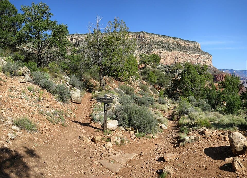
- 1.5 Mile Resthouse (1.6 mi): shade, toilets, often seasonal water
- 3 Mile Resthouse (3.1 mi): shade, toilets, often seasonal water
- Havasupai Gardens (4.9 mi): lush oasis with water and shade; junctions to the Tonto and Plateau Point Trails
Below Havasupai Gardens, the trail drops through the famous Devil’s Corkscrew—dramatic, hot, and steep. Unless you’re very fit and well-prepared, don’t plan rim-to-river-to-rim in a day.
Best time to hike
Spring and fall are prime: cooler temps, safer conditions, and better odds that water points are on. Summer heat below the rim commonly pushes past 100°F—start at sunrise and set a conservative turnaround. Winter can bring ice on the upper switchbacks; traction and poles help. For photos, early light on the descent and late light on the climb out both pop; midday heat is a slog.
Logistics and tips
- Length: 9.5 miles one way to Bright Angel Campground via the Silver Bridge (about 19 miles round trip). If you’re day hiking, choose a resthouse or Havasupai Gardens and enjoy the return climb at your own pace.
- Water: Potable water is often available seasonally at the trailhead, 1.5 Mile Resthouse, 3 Mile Resthouse, and Havasupai Gardens. Never rely solely on seasonal taps—carry what you need and verify current status before you go.
- Facilities: Toilets at major resthouses and camps. No dogs; service animals only. Day hiking requires no permit; overnight camping below the rim requires a backcountry permit.
- Footing: Packed dirt, rock, gravel, and built steps; expect mule traffic. Yield to mule trains and give them space.
Should you hike it?
Yes—if you respect the heat, the grade, and your limits. Bright Angel is popular for good reasons: world-class scenery, a well-maintained tread, and logical bailout points with shade and (often) water. If you want something shorter but still immersive, turn at a resthouse. If you want extra views without the river descent, add the Plateau Point spur from Havasupai Gardens instead of dropping through the Devil’s Corkscrew.
Elevation
9.5 mi · 10.5 hrWildlife on this trail
Near Bright Angel Trail
All places →All trails →
Hopi PointThe South Rim’s go-to sunset perch with sweeping river viewsScenic Viewpoint
Mather PointThe South Rim’s classic, easy overlook with big sunrise and sunset viewsScenic Viewpoint · Parking
Cape RoyalNorth Rim’s widest panorama with Angel’s Window en routeTrailhead · Restroom
Desert View WatchtowerMary Colter tower with murals and sweeping canyon-to-desert viewsRestroom · Parking
South Kaibab TrailGrand Canyon’s ridgeline stunner with nonstop views and a steep, dry plungeChallenging · 7 mi · 5.5 hr
North Kaibab TrailGrand Canyon’s quietest rim-to-river epic from the North RimChallenging · 14 mi · 12 hr
Deer Creek TrailHard North Rim trek to Deer Creek narrows and 180-foot fallsChallenging · 23 mi · 48 hr
Angels Window TrailPaved stroll to a rock arch with river views and big North Rim dramaEasy · 0.6 mi · 30 min