Parking
Private vehicles cannot reach the South Kaibab Trailhead. Take the Kaibab Rim shuttle or Hiker’s Express; parking is available at the Backcountry Information Center.
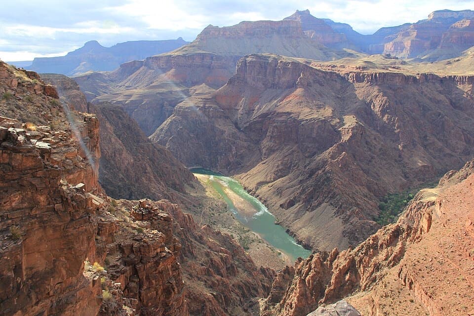
#2 of 73 trails in Grand Canyon
Grand Canyon National Park, AZ
A steep ridge descent with a first river view at Skeleton Point.
Overview
Map & elevation
Plan your hike

The highest, rockiest slopes around here are a summer buffet for grizzly bears.
Grand Canyon Tour Guide
Parkwolf is a GPS audio tour guide for Grand Canyon National Park. As you drive, it chimes in with what’s ahead: hidden gems, upcoming stops, history, geology, and wildlife, right through your car’s speakers.
See the Grand Canyon audio tourRecorded for this trailhead
Yaki Point and South Kaibab Access“The access road for Yaki Point and South Kaibab Trailhead is coming up. Private cars can't use the spur; park at the Visitor Center and take the free Orange Route shuttle.”
Plays as you drive up to this trailhead in the Parkwolf Grand Canyon Tour Guide.
More stories near here in the app
“Fantastic app with many points of information… It’s great to just turn on while you’re driving and it gives you an audio tour of the national Park. We love it!!!!”


Trail guide
South Kaibab Trail is a 6.3-mile, one-way route from South Kaibab Trailhead near Yaki Point to the Colorado River. It drops 4,860 feet on maintained dirt, following an open ridge through the canyon’s rock layers and into the inner gorge. This is a long, steep descent, not a rim-to-river-and-back day hike. Rangers recommend hiking down South Kaibab and using Bright Angel Trail for the climb out because South Kaibab is steep and has no water. Allow about five hours for the one-way descent, with more time for stops. If you camp in the canyon, you need a backcountry permit; Phantom Ranch lodging requires a reservation.
For a shorter outing, decide on your turnaround before you start. Ooh-Aah Point is 0.9 mile down and 1.8 miles round trip; the trail opens to a wide canyon view there. Cedar Ridge is 1.5 miles down and 3 miles round trip, with a restroom and no water. It’s a sensible first canyon hike. Skeleton Point is 3 miles down and 6 miles round trip, and gives the first view of the Colorado River. The park advises day hikers to turn around by Skeleton Point. Those are steep descents, so leave energy for the climb back to the rim.
The trailhead is south of Yaki Point on Yaki Point Road, but private vehicles can’t reach it. Take the Kaibab Rim shuttle from the Visitor Center Shuttle Terminal or the Hiker’s Express from the Backcountry Information Center, Bright Angel Lodge, or the visitor center; parking is available at the Backcountry Information Center. There’s no water along the trail. Fill up before leaving and check what’s available at the rim that day. No food stop is identified along this corridor, so carry what you’ll need. Pets aren’t allowed on this inner-canyon trail.
The trail drops immediately in switchbacks cut into the cliff, then traverses the ridge toward Yaki Point before another descent to Ooh-Aah Point. The view opens suddenly there; there’s no sign marking the spot. From Ooh-Aah, another roughly 0.6 mile reaches Cedar Ridge, where O’Neill Butte stands across the canyon. Past Cedar Ridge, the route bends around the butte, reaches a flatter ridge stretch and a second mule rail, then drops more steeply to Skeleton Point. Beyond it, the trail crosses the Tonto Plateau to Tip-Off and descends into the inner gorge toward Black Bridge.
Most of the route has very little shade, and the canyon walls block sun only at certain times of day. Summer heat can make the climb back from any turnaround much harder; start in the cooler part of the day. The upper trail can be icy in winter or early spring. Mules also use this narrow trail. When they approach, step uphill and away from the edge, stay quiet and still, follow the wrangler’s directions, and wait until the last mule is 50 feet past before moving again.
South Kaibab follows a ridgeline rather than dropping through a side canyon. Its designers chose the exposed route partly to keep most of it in sunlight, and it crosses eight major geologic formations. As you descend, look for the pale Coconino Sandstone; its slanted bands preserve the pattern of ancient windblown dunes. Drill and blast scars from trail construction are still visible on the upper switchbacks, alongside the stone retaining walls that hold the path to the cliff.
The route was first called Yaki or Yaqui Trail for its start near Yaki Point, then took the name of the nearby Kaibab National Forest. A historical account translates Kaibab from Paiute as “mountain lying down,” a name for the Grand Canyon. The National Park Service built the trail between December 1924 and June 1925 under park engineer Miner Tillotson. Later, the Civilian Conservation Corps built an exhibit case at Cedar Ridge for fern fossils exposed during trail construction.
Wildlife
 718 sightingsCalifornia CondorMost seen around 5 PMSighting map
 533 sightingsBighorn SheepMost seen around 7 AMSighting map
 169 sightingsAmerican BisonMost seen around 7 PMSighting map
 1,891 sightingsElkMost seen around 6 AMSighting map
 59 sightingsCoyoteMost seen around 6 PMSighting map
 27 sightingsGray FoxMost seen around 6 AMSighting map
Sighting maps show where each species has been reported across Grand Canyon. Wildlife moves, so no sighting is guaranteed.
Keep exploring
 ModerateRim Trail12.8 mi · 7 hr · At the trailheadThe full 12.8-mile rim walk, easiest to sample by shuttle.
 ChallengingRim-to-Rim: South Kaibab to North Kaibab21 mi · 16 hr · At the trailheadA one-way canyon crossing from the South Rim to the North Rim.ChallengingSouth Kaibab–Bright Angel Loop15.8 mi · 14 hr · At the trailheadA 15.8-mile canyon traverse from South Kaibab to the Bright Angel rim.
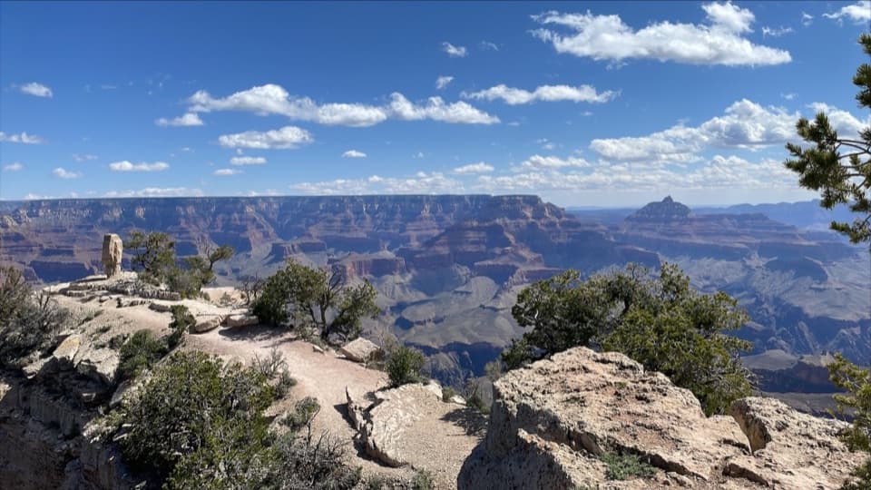 EasyShoshone Point Trail2 mi · 1.5 hr · 1.5 mi awayPines open to a rugged rim point with a North Rim view.
 EasyThe Trail of Time3.3 mi · 2 hr · 2.1 mi awayA paved timeline where every meter spans a million years.
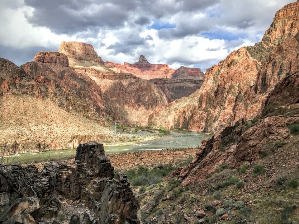 ModerateRiver Trail1.7 mi · 1 hr · 3.2 mi awayA river-level connector beneath steep inner-canyon walls.
 ModerateClear Creek (from the Colorado River)1.4 mi · 2 hr · 3.3 mi awayA river beach, schist scramble and a waterfall that throws water sideways.
 ChallengingPlateau Point Trail12 mi · 10.5 hr · 3.4 mi awayA long descent earns a wide view of the Colorado River.
 Sight · 0.4 mi awayYaki PointTake the Orange shuttle to a quieter, east-facing canyon view.
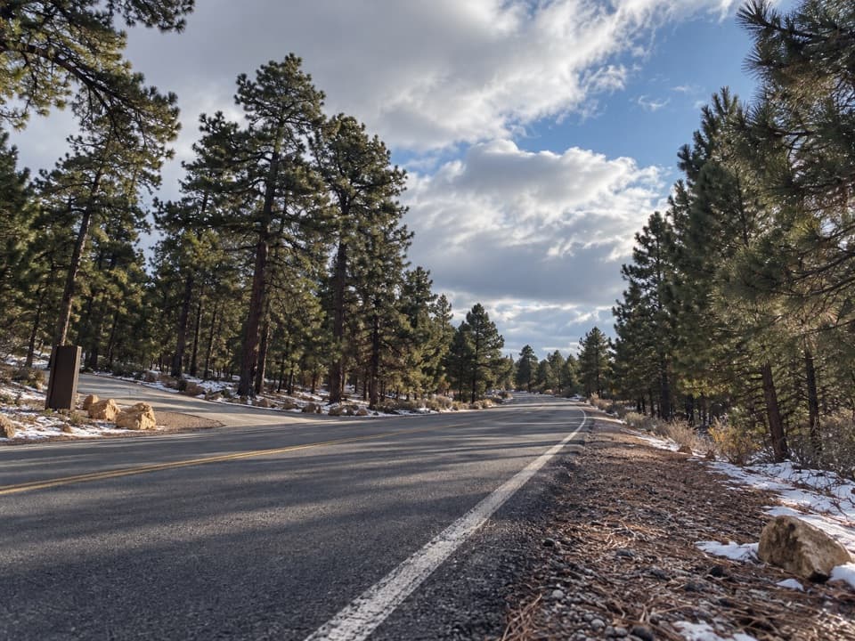 Picnic area · 0.5 mi awayYaki Point Road Picnic AreaShaded picnic tables near South Kaibab; the lot is very limited.
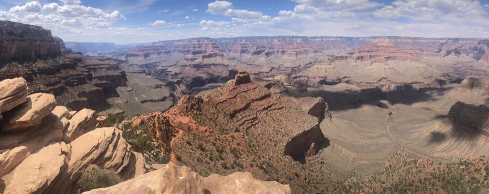 Sight · 0.6 mi awayOoh Aah PointFirst canyon panorama below the rim, with a steep climb back.
 Sight · 0.6 mi awayPipe Creek VistaA canyon view framed by Mather and Yaki points.
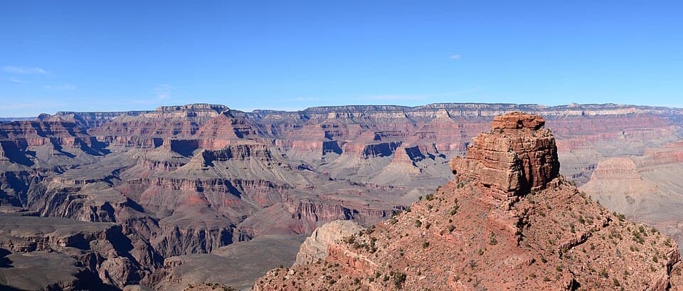 Sight · 0.8 mi awayCedar RidgeA good first canyon hike, with wide views of O’Neill Butte.
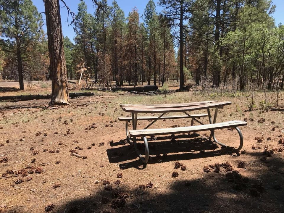 Picnic area · 1.2 mi awayRange Road Picnic AreaA practical picnic break beneath the pines along Desert View Drive.
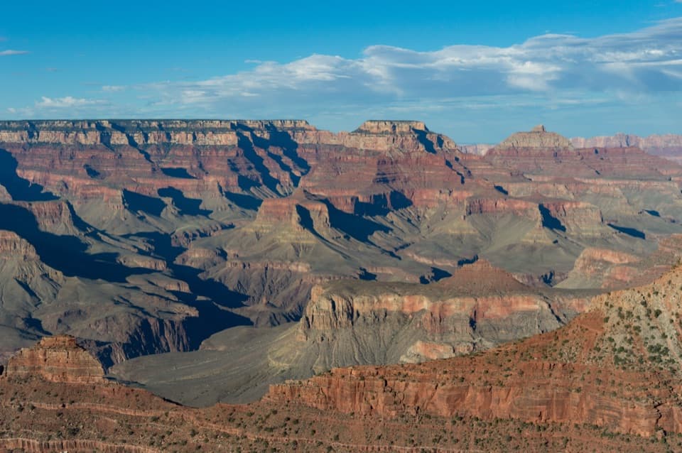 Sight · 1.5 mi awayMather PointTwo rim platforms make an easy first look into the canyon.Sight · 1.5 mi awayShoshone PointA two-mile forest walk leads to a quieter canyon-rim view.
Parkwolf’s Grand Canyon ranking

The audio tour guide for the drive, plus offline maps, trails, and wildlife heatmaps for when the signal drops.


