
Place
Challenging
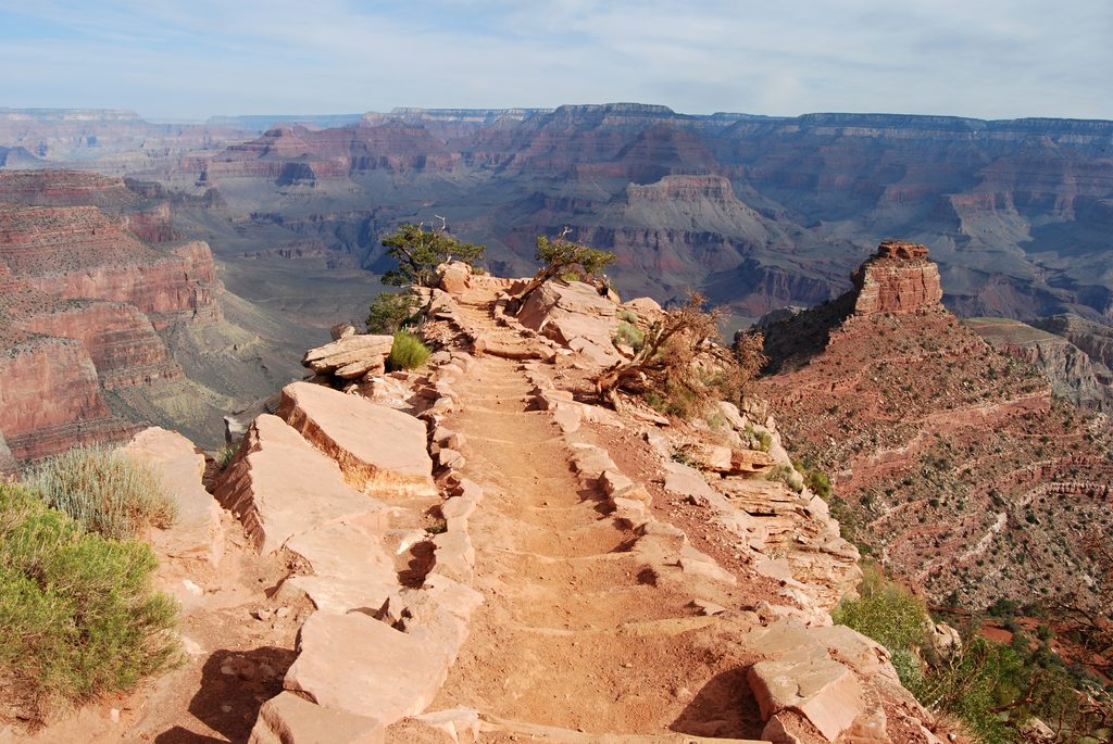
The West Tonto Trail is the Grand Canyon’s classic platform traverse—wide‑open horizons, inner‑gorge drama, and long, lonely miles. Most hikers tackle the 12‑mile one‑way connector between Indian Garden (Havasupai Garden) on the Bright Angel corridor and the Hermit corridor, a superb sampler of the West Tonto’s rhythm: contour the Tonto Platform, dip into a side canyon, then climb back out.
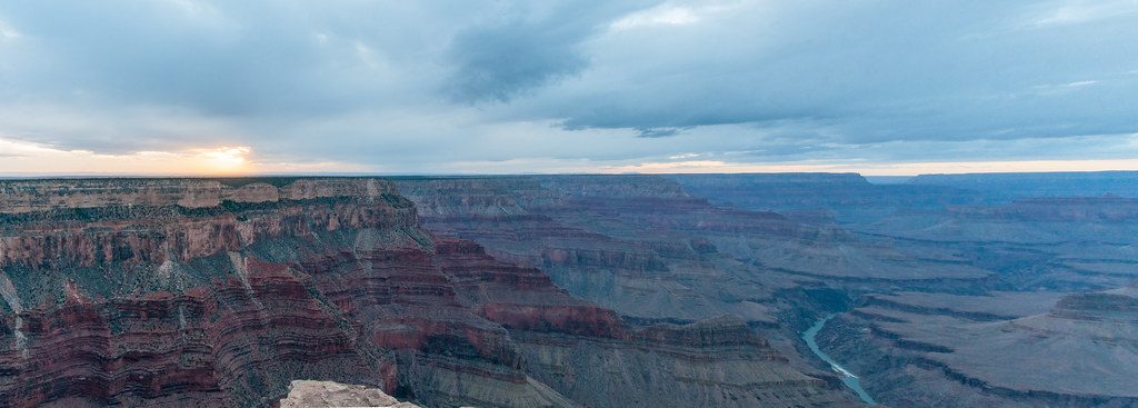
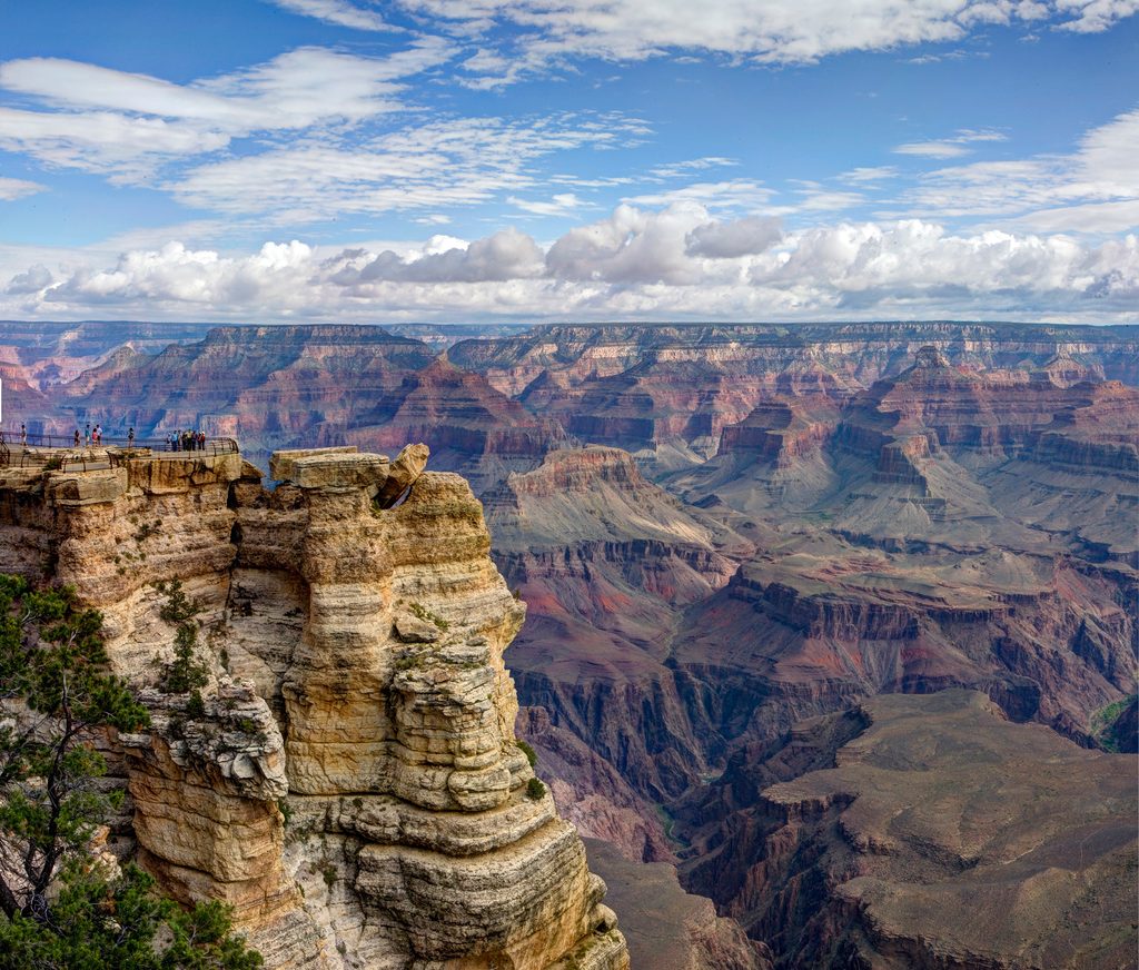
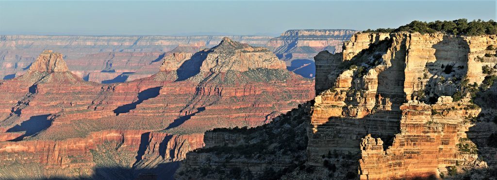
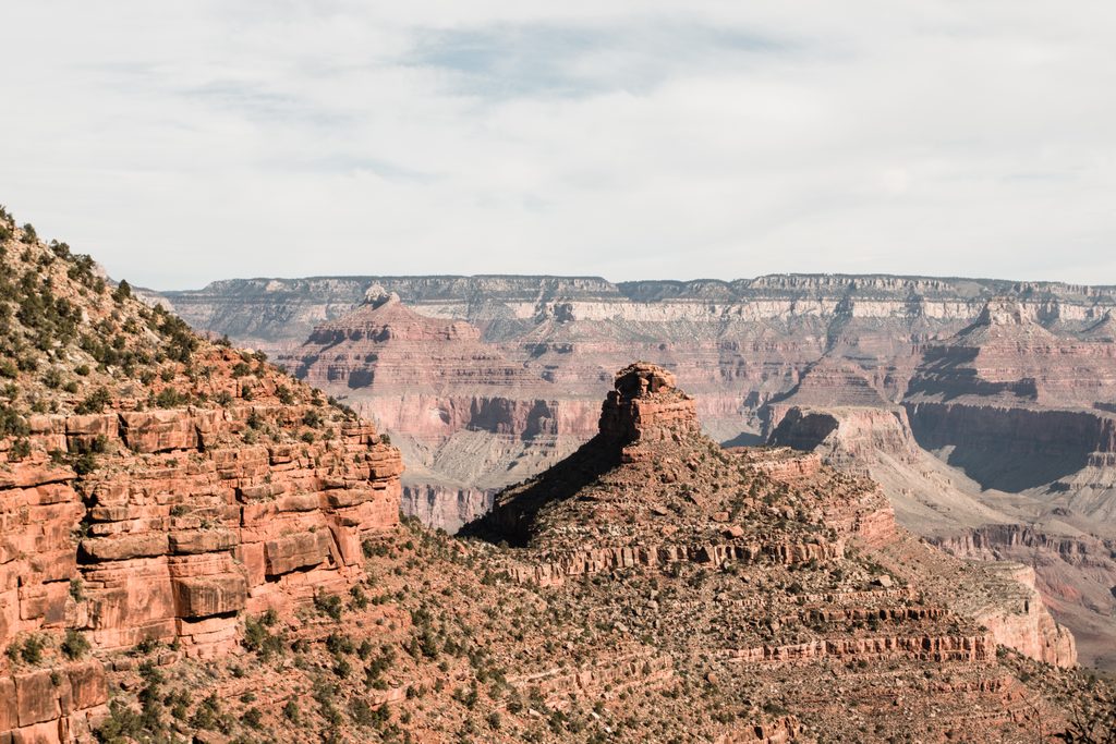
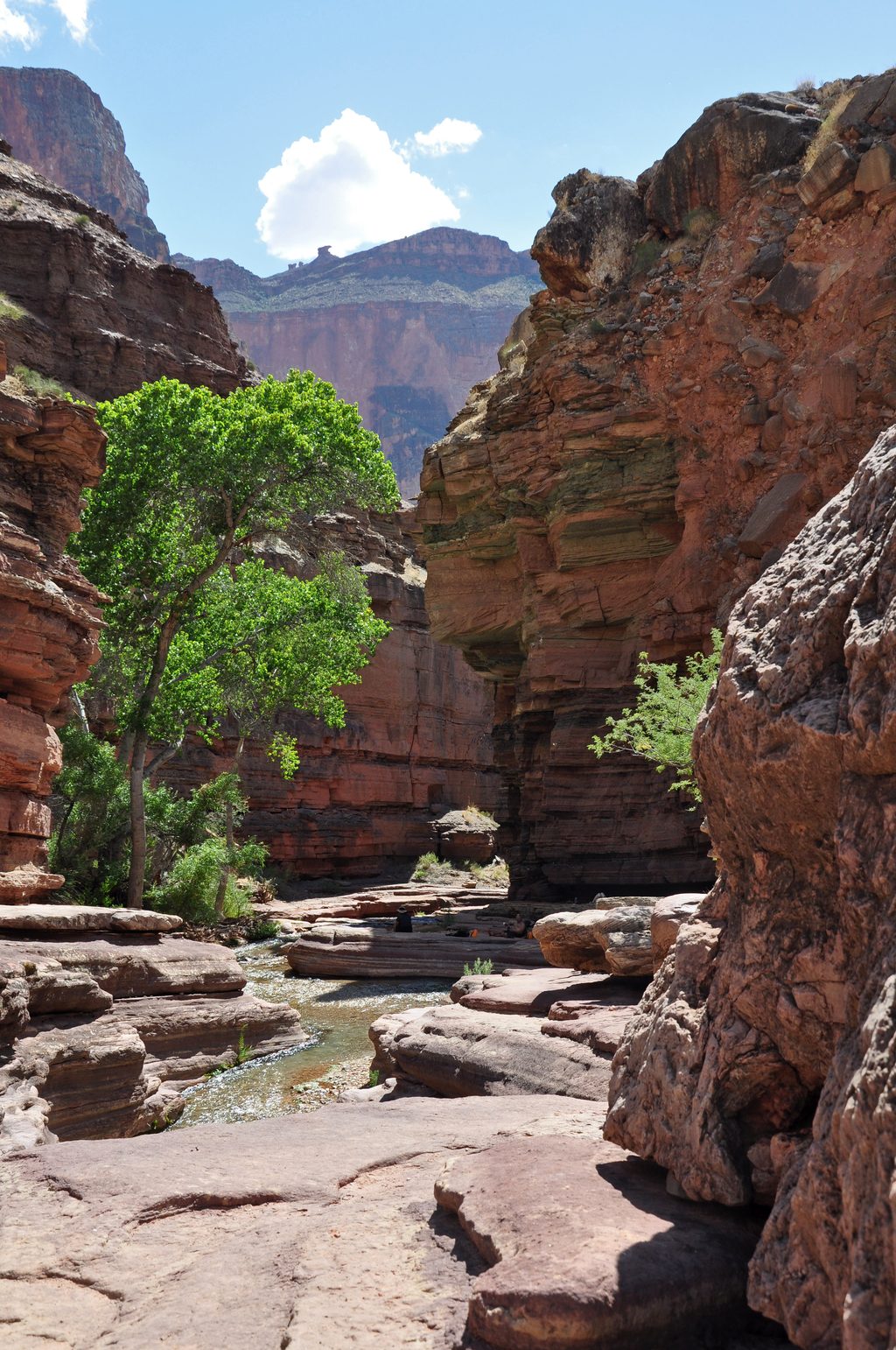
Expect constant panoramas across the upper canyon and down into the Colorado River’s inner gorge. The tread rides the Tonto Platform, a broad bench carved in the Tonto Group, with frequent exposures of Tapeats Sandstone and Bright Angel Shale—and glimpses of the dark Vishnu Schist far below. The scenery peaks around side canyons like Monument and Salt Creeks, where lush drainages break up the desert palette and the canyon feels alive and immense.
Don’t be fooled by the gentle grades: this is backcountry travel with long, committing stretches. The tread is generally straightforward between Indian Garden and Hermit, but it still winds in and out of drainages and feels remote. West of Hermit, the West Tonto becomes even fainter and more solitary. Heat and exposure make this a serious undertaking; strong hikers sometimes day‑hike the 12‑mile traverse, but most build it into an overnight.
Water is limited and unreliable. Along the Indian Garden ↔ Hermit traverse, plan on reliable water at Indian Garden; beyond that, sources are seasonal and must be verified in advance. Never drink from Horn Creek due to uranium contamination. Treat all water. Camping requires a backcountry permit, and you’ll stay in designated inner‑canyon use areas (e.g., Monument or Salt Creek zones on some itineraries).
Length is roughly 12 miles one way across the Tonto Platform between Indian Garden (on Bright Angel Trail) and the Hermit corridor. That does not include the steep rim‑to‑river approaches you’ll use to get down to (and back up from) the Tonto. The broader West Tonto continues far beyond—ultimately linking many western drainages toward Bass—but this segment is the most commonly hiked introduction.
Year‑round is possible, but spring and fall are the sweet spot for temperatures. Summer is brutally hot with little shade—start pre‑dawn, carry extra water, and know your limits. Winter can be pleasant on the platform, but snow/ice on the rim and approach trails can complicate access.
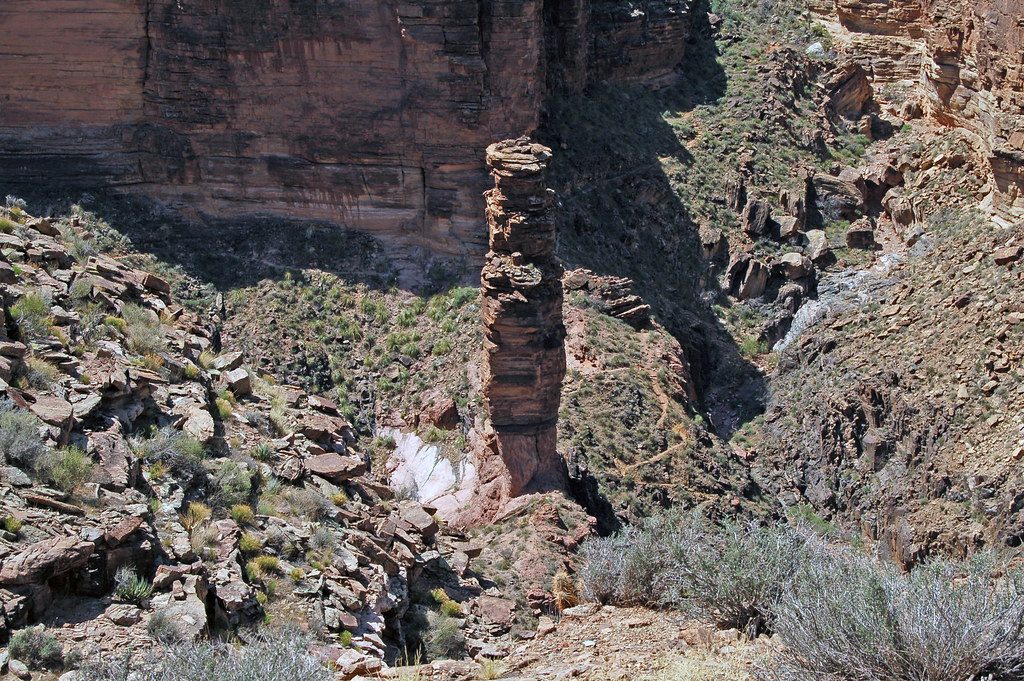
You’re literally walking the story of the canyon: greenish Bright Angel Shale underfoot, Tapeats ledges at your elbows, and the ancient Vishnu basement rock cut by the river below. Keep an eye out for cultural traces like mescal pits along the platform—reminders you’re traveling an ancient corridor.
Park at the South Rim’s Bright Angel Trailhead or Hermit Trailhead and hike down to the Tonto Platform to start the traverse.
Extreme heat and full exposure; very limited, often unreliable water (do not drink from Horn Creek due to uranium). Long, dry stretches; treat all water. Flash‑flood risk in side drainages. Backcountry permits required for overnight use.
Place
Place
Place
Place
Challenging
Challenging
Challenging
Challenging

Parkwolf Tour Guide
