
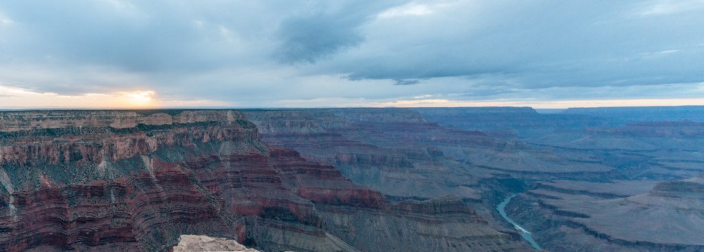
Place
Challenging
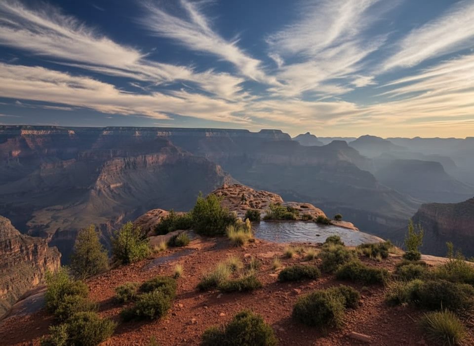
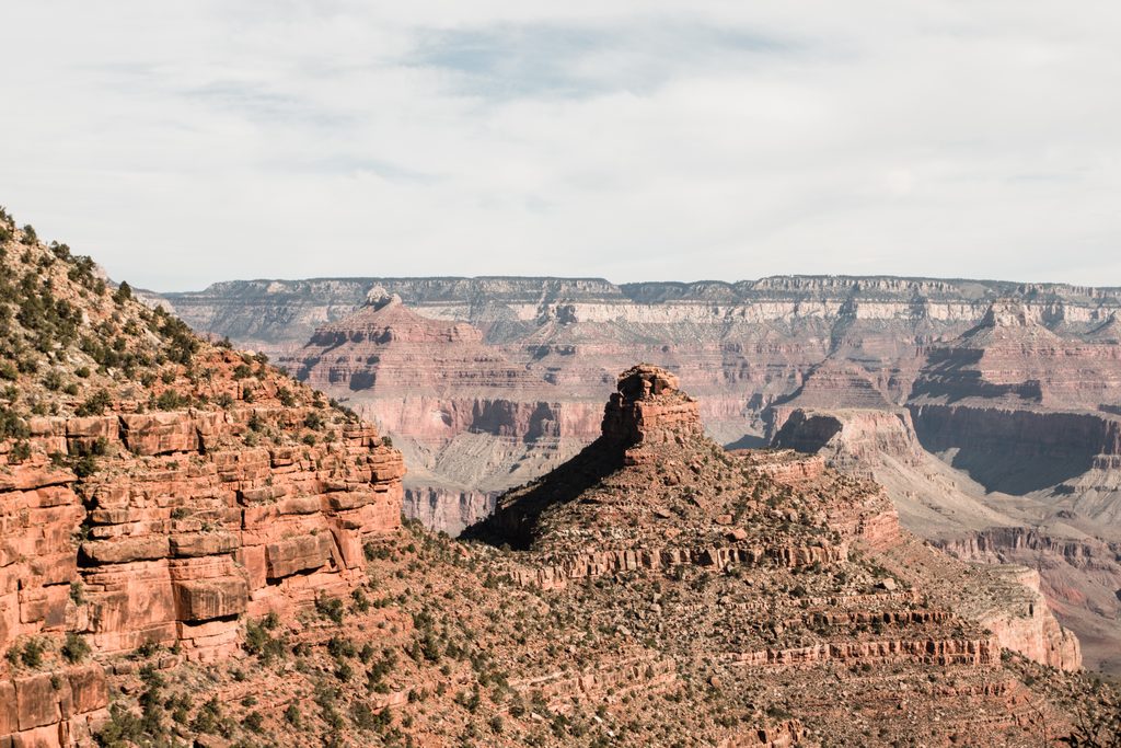
If you want South Rim views without South Rim crowds, this is your ticket. The Yuma Point Route delivers sweeping, unobstructed panoramas of the Colorado River corridor and classic temples like Tower of Ra and Osiris Temple. It feels wild and isolated—closer to the river than most overlooks—yet it’s reachable in a stout day.
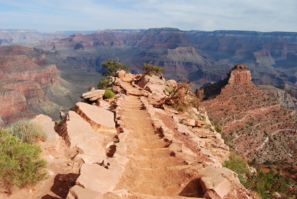
Start at Hermit’s Rest and descend the Hermit Trail roughly 2 miles to the Dripping Springs junction. Traverse the cliffy Dripping Springs Trail to the spring (treat any water; it’s seasonal and unreliable), then continue on the Boucher Trail as it contours the Supai Group’s Esplanade bench with huge views and occasional exposure. Before the Boucher Trail’s major drop toward Travertine Canyon, peel off on a steep, bouldery ravine to gain Eremita Mesa and the Yuma Point overlook. Expect faint tread, unmaintained sections, and sections where the path simply disappears—navigation skills are mandatory.
Distance is roughly 10.2 miles round-trip depending on exactly where you turn onto the spur and where you roam on the mesa. Plan on at least 7.5 hours for experienced hikers; this is not a casual outing.
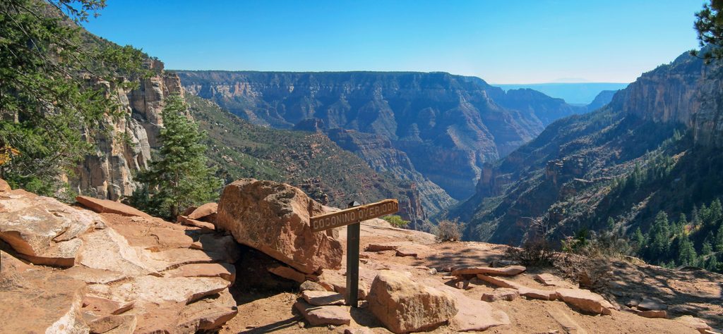
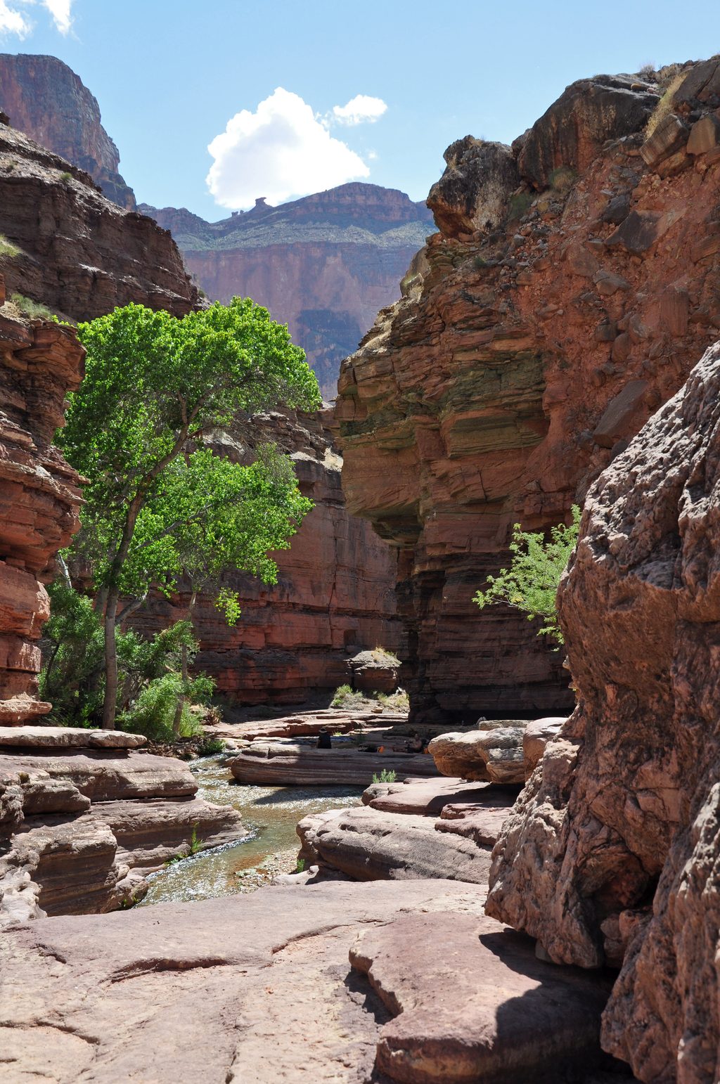
The route is a geology tour—passing the Kaibab and Coconino, edging along the broad Esplanade Sandstone, with colorful Supai cliffs and rockslides below. Vegetation shifts to pinyon-juniper woodland with blackbrush and cacti; some trees have that windswept “bonsai” look. Keep an eye on the sky for California Condors riding the thermals.
This is mostly unmaintained backcountry: loose footing, exposure to drop-offs, boulder fields, and cross-country sections on Eremita Mesa. There’s no water at Yuma Point, and Dripping Spring is unreliable—carry everything you’ll need. The soundscape can be surprisingly modern; sightseeing overflights are common here and can break the silence.
A primitive camp exists near Yuma Point. Overnight stays require a Grand Canyon backcountry permit. Day hiking does not.
Spring and fall offer the best balance of temperatures and traction. Summer can be dangerously hot with little shade; winter can add snow, ice, and tougher navigation. Start early for cooler temps and better light on the inner canyon.
This route shines for strong, self-reliant hikers. If you want a taste of the scenery without committing to the route-finding and exposure, consider turning around at Dripping Spring or exploring farther down the Hermit Trail instead.
Park at the Hermit’s Rest area and begin down the Hermit Trail toward the Dripping Springs junction.
Unmaintained, faint route with exposure; steep, loose sections; unreliable water (carry all you need); frequent sightseeing overflights; navigation skills essential to locate the Yuma Point spur before the Boucher Trail drops toward Travertine Canyon.
Place
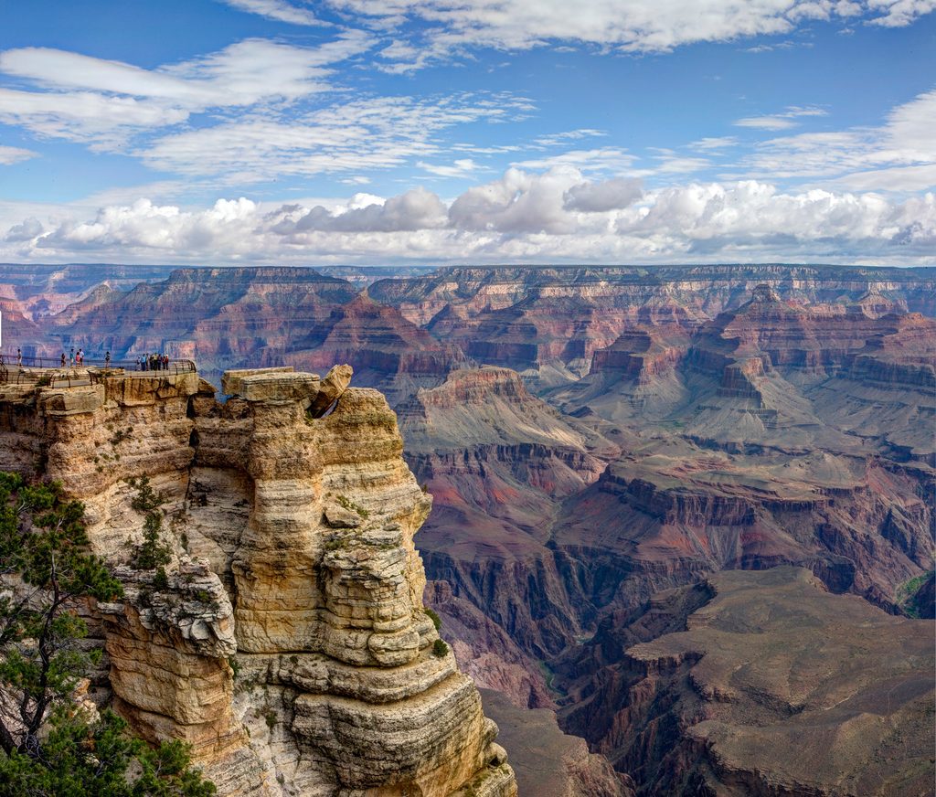
Place
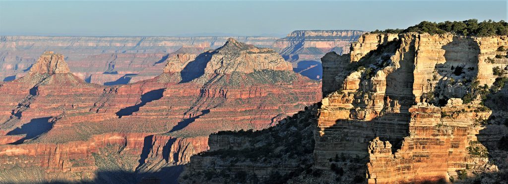
Place
Place
Challenging
Challenging
Challenging
Challenging

Parkwolf Tour Guide
