
Place
Moderate
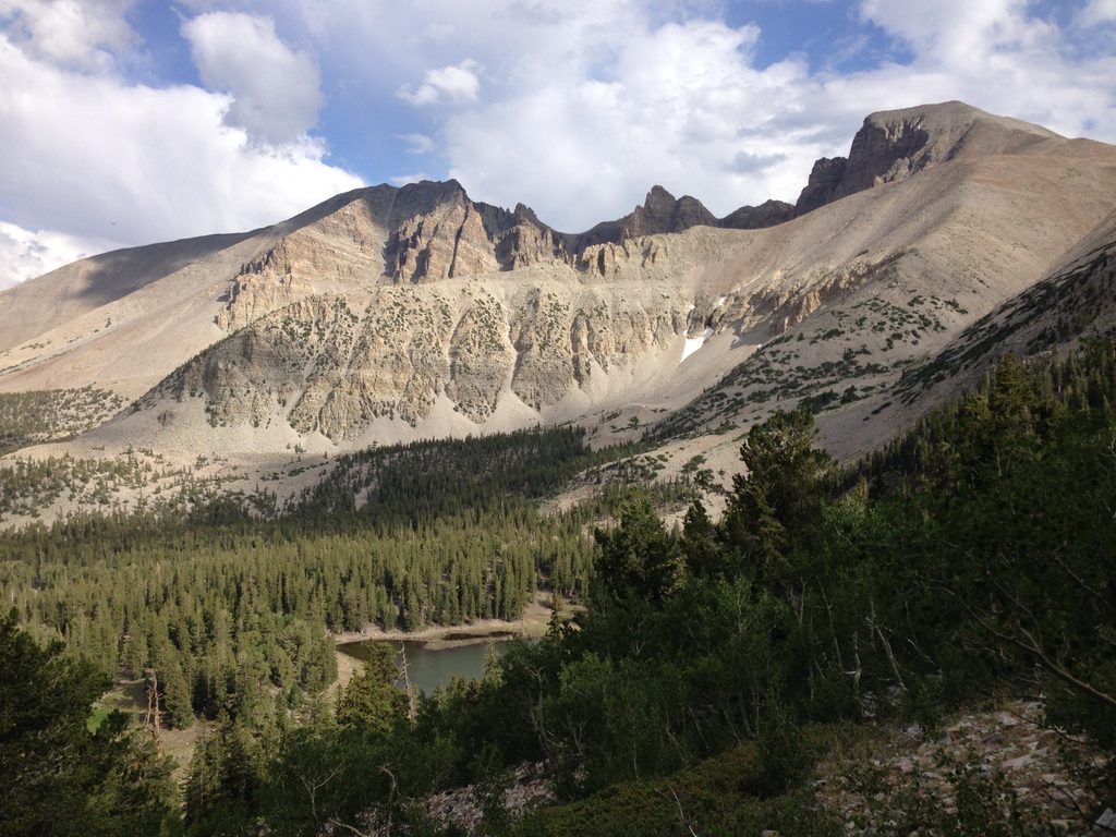
This is a short-but-satisfying sampler of Great Basin’s variety: a 3.5‑mile loop (total) gaining about 935 feet that most hikers finish in roughly two hours. It starts from the Baker Creek trailhead at the very end of Baker Creek Road (gravel), where you’ll find restrooms. Expect a mix of riparian creekside walking, big aspen stands, conifers, and open meadows with views.
For much of the loop you’ll hear and often see Baker Creek. The forest canopy keeps long stretches pleasantly shaded, with occasional sunny openings. Meadows near the top are the highlight—especially in late spring and early summer when wildflowers put on a show. Keep an eye out for Jeffrey’s shooting stars, crimson columbine, mountain bluebells, and Parry’s primrose in damp spots. Wildlife sightings are common: deer, wild turkeys, rabbits, squirrels, and plenty of birds.
Footing is natural and often rocky with some loose sections and short, steeper grades. Sturdy shoes are a must; trekking poles are a nice-to-have. Hikers commonly recommend going counterclockwise for a mellower main climb via big switchbacks, then a shaded creekside descent. You’ll pass small bridges and a convenient midway pause spot before dropping back toward the creek. Starting elevation is around 8,000 feet with the loop topping out notably higher, so expect to feel the altitude if you’re not acclimated.
Late spring through early summer is prime for wildflowers and flowing water. Summer afternoons can bring thunderstorms—start early and be off exposed sections before the sky turns. Fall delivers crisp air and color in the aspens. Trails in this area are open much of the year, but winter commonly means snow coverage; navigation gets trickier and snowshoes or skis may be appropriate. The access road can close intermittently in winter and spring.
If you want a moderate loop with a lot of scenery per mile—and fewer people than the park’s marquee destinations—this one is a great bet. It’s not a grand summit day, but it’s peaceful, varied, and reliably rewarding, with the creek and meadows doing the heavy lifting.
Park at the end of Baker Creek Road at the Baker Creek trailhead; gravel access with restrooms at the lot.
High elevation can slow your pace; expect rocky, loose footing. Summer thunderstorms are common—start early. Winter brings snow and tougher navigation, and the gravel road may close. Pets are not allowed on this trail.
Place
Place
Place
Place
Challenging
Easy
Moderate
Moderate

Parkwolf Tour Guide
