Pros & cons
PROS
- Interpretive loop lets you wander among living bristlecones with context
- Easy add-ons to the Glacier Trail or Alpine Lakes without moving the car
CONS
- High-altitude start can make a moderate grade feel strenuous
- No potable water anywhere along the scenic drive to the trailhead
Park in the designated Bristlecone Trailhead lot at the end of Wheeler Peak Scenic Drive; spaces can fill in peak season. Pit toilets available; no potable water.
Starts near 10,000 feet—altitude sickness is a real risk. Mountain weather changes fast with strong sun and afternoon storms. No potable water on the drive. Winter brings snow and potential road closures. Expect rocky footing beyond the grove and limited or no cell service.
Overview
This is the park’s signature quick-hit alpine hike: 2.8 miles total, out-and-back, with about 600 feet of gain. You’ll start near 9,890 feet, so the air is thin from the first step—pace yourself. Most hikers take 1.5–3 hours depending on acclimation and how long you linger among the trees.
Why go
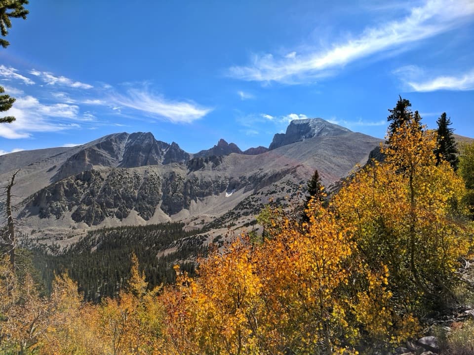
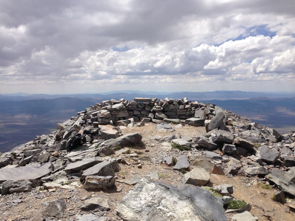
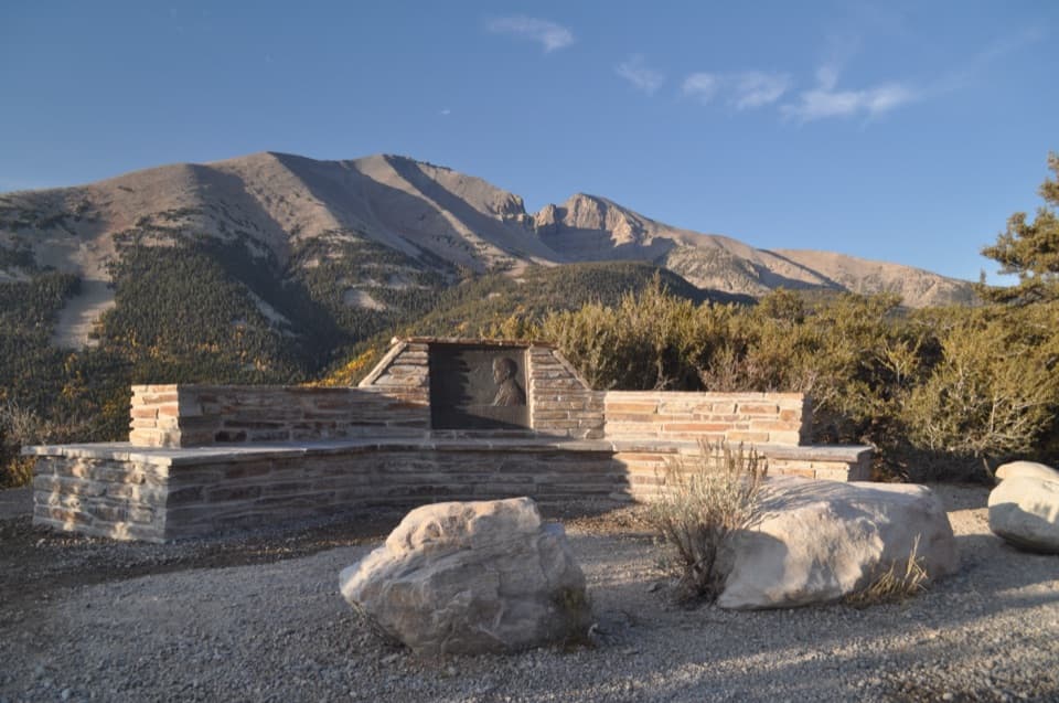
The Bristlecone grove is the draw—an interpretive loop winds through gnarled, living sculptures that have withstood millennia. Some trees here are over 3,000 years old. You’ll also pass the former home of the famous Prometheus tree, once the oldest known non‑clonal organism before it was cut in 1964. The setting is classic high Great Basin: crisp air, big sky, and views toward Wheeler Peak.
Trail experience
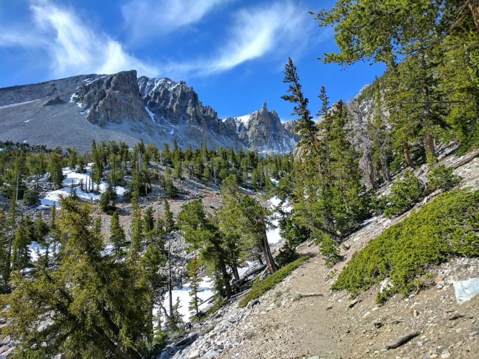
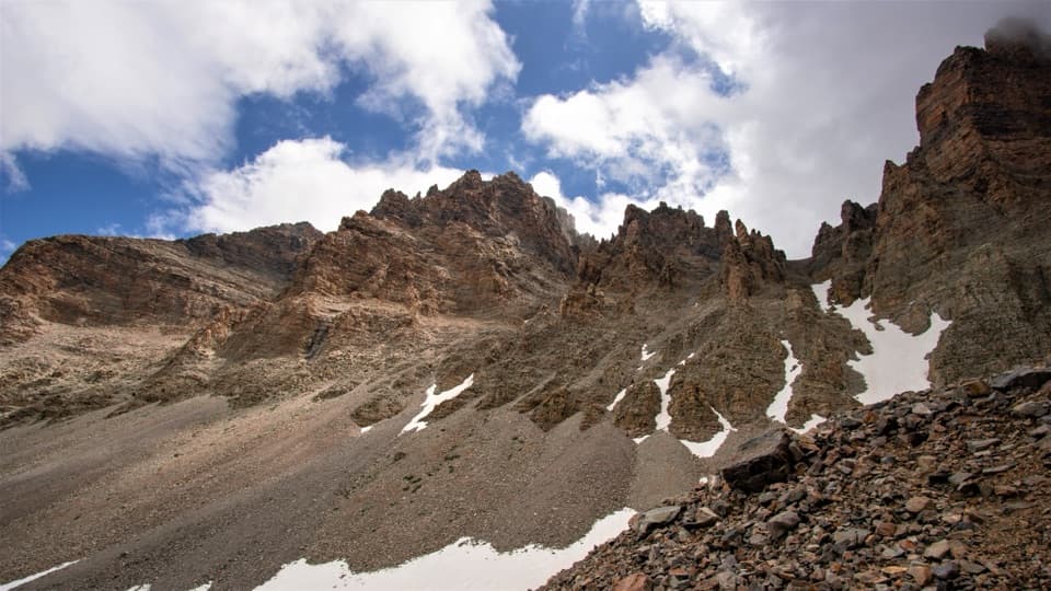
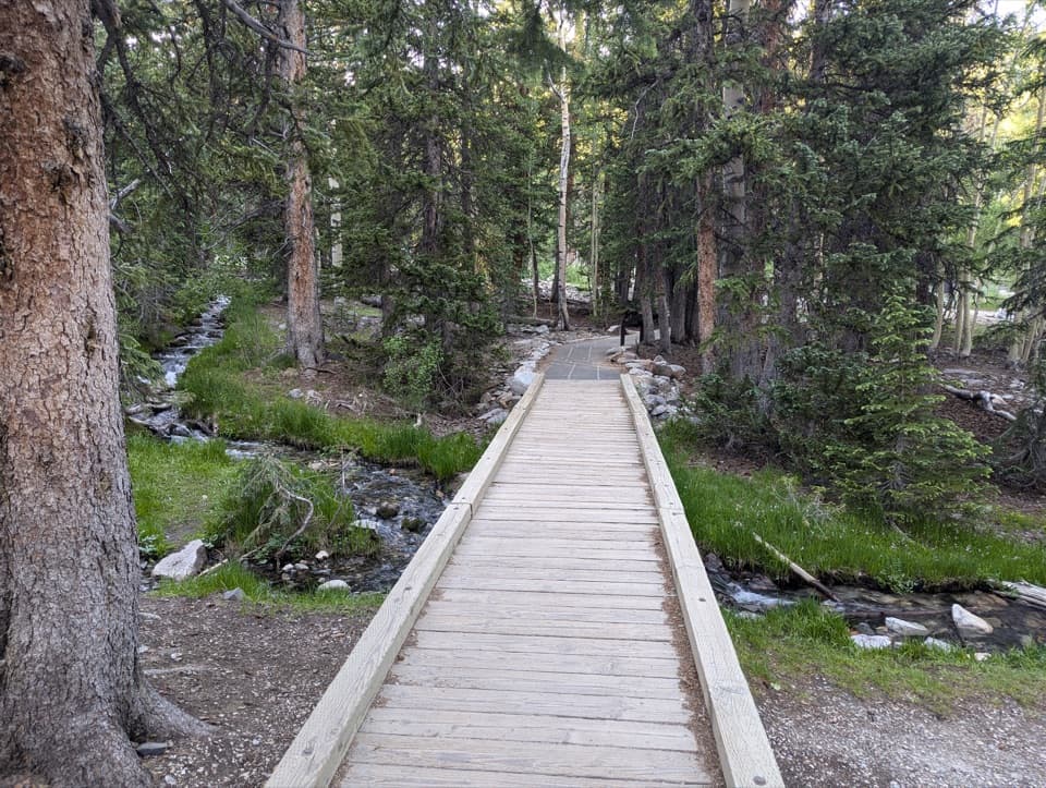
The path is well-signed and generally well-maintained. Expect some rocky sections as you climb and especially if you continue beyond the grove. The interpretive loop at the grove is easy to follow and adds context to what you’re seeing. Footing gets rougher on the extension toward the glacier as you step onto glacial moraine and talus.
Options to extend
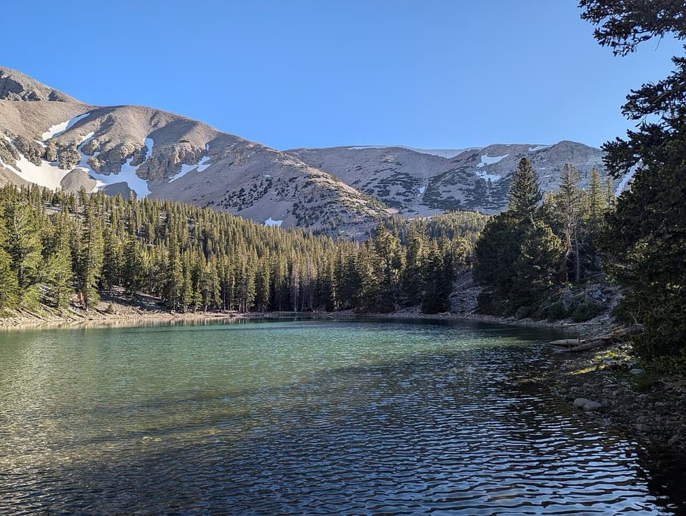
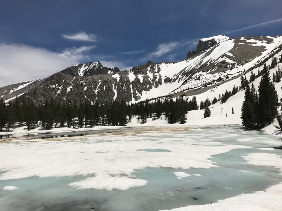
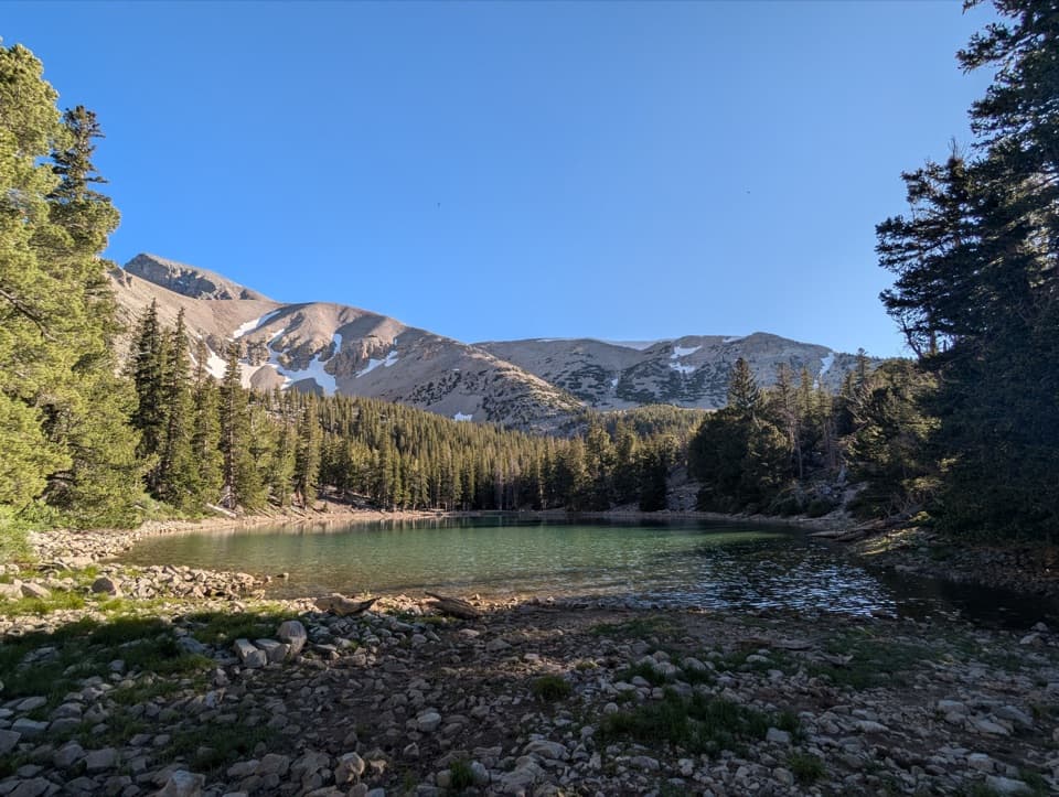
If you’re feeling good at altitude, continue past the grove on the Glacier Trail for a look at Nevada’s only glacier—plan on rockier, slower travel and possible lingering snow early in the season. Alternatively, link early sections with the Alpine Lakes Loop for a longer outing that includes Stella and Teresa Lakes without moving your car.
Logistics
Trailhead parking sits at the end of the Wheeler Peak Scenic Drive. There are pit toilets, but no potable water along the drive—bring what you need for the day. Cellular service is spotty to nonexistent. Pets aren’t allowed on park trails (service animals excepted). There’s no park entry fee. The scenic drive is often closed in winter; even when the trail is open, expect snow and consider traction or snowshoes.
Best time to hike
Summer is prime: the road is usually open, temperatures are comfortable, and the grove is snow-free. Start early to beat afternoon thunderstorms, secure a parking spot, and hike the exposed upper sections in cooler temps and softer light. In shoulder seasons, expect cold mornings and a real chance of snow or ice. Winter can bring deep snow and road closures—check conditions first.
Tips
Altitude is the crux for many. Take it slow, hydrate, snack often, and be willing to turn around if you feel symptoms of altitude sickness. Sun protection is essential at this elevation. Sturdy footwear (and trekking poles if you like) makes the rocky bits more pleasant.
Elevation
2.8 mi · 2.3 hrWhere it starts
39.0100, -114.3071Near Bristlecone Trail
All places →All trails →
0 mi awayAlpine Lakes LoopShort alpine loop to Stella and Teresa Lakes beneath Wheeler PeakEasy · 2.7 mi · 1.5 hr
0 mi awaySky Islands Forest TrailShort, truly accessible loop through high alpine forest with great signageEasy · 0.4 mi · 7 min
0 mi awayIsland Forest TrailHigh-alpine, wheelchair-friendly loop with sky island ecology signsEasy · 0.3 mi · 10 min
0 mi awayWheeler Peak Bristlecone GroveAncient bristlecones in a stark, wind-sculpted alpine groveExhibit · Restroom
0.3 mi awayWheeler Peak CampgroundAlpine campground by trailheads with big views and dark skiesCampground · Restroom
0.5 mi awayTeresa LakeShort alpine-lake walk with Wheeler Peak reflections when the wind calmsParking · Restroom
0.5 mi awayWheeler Peak Summit TrailNevada’s airy high-point chase with big views and bigger windsChallenging · 8.6 mi · 7 hr
0.5 mi awaySummit TrailheadHigh-alpine launchpad to Wheeler Peak and bristlecone countryTrailhead · Parking