Parking
Use the designated Summit Trailhead lot on Wheeler Peak Scenic Drive, about two-thirds of a mile below Bristlecone Trailhead. Spaces are limited; roadside parking is prohibited. Pit toilets are at Bristlecone Trailhead farther up the drive.

#2 of 29 trails in Great Basin
Great Basin National Park, NV
An exposed high-altitude climb to Nevada’s highest wholly in-state summit.
Overview
Wheeler Peak Summit Trail is an 8.6-mile out-and-back from Summit Trailhead to the 13,063-foot summit, with about 3,100 feet of climbing. The trailhead already sits at 10,160 feet, so the altitude is part of the effort from the first step. Plan on most of a day: six to eight hours is a sensible allowance for a prepared hiker, though published estimates range from four to ten. This is the park’s hard summit day, not a warm-up hike. If the altitude or exposure is getting to you, turn around while you still feel strong.
 Parkwolf’s verdictIs this the climb for you?
Map & elevation
Plan your hike

The highest, rockiest slopes around here are a summer buffet for grizzly bears.
Great Basin Tour Guide
Parkwolf is a GPS audio tour guide for Great Basin National Park. As you drive, it chimes in with what’s ahead: hidden gems, upcoming stops, history, geology, and wildlife, right through your car’s speakers.
See the Great Basin audio tourRecorded for this trailhead
Wheeler Peak Summit Trailhead: A Full Hiking Day“Wheeler Peak Summit Trailhead is coming up, for a strenuous climb to wide views across the surrounding basins.”
Plays as you drive up to this trailhead in the Parkwolf Great Basin Tour Guide.
More stories near here in the app
“Fantastic app with many points of information… It’s great to just turn on while you’re driving and it gives you an audio tour of the national Park. We love it!!!!”


Trail guide
The trail leaves Summit Trailhead on Wheeler Peak Scenic Drive and climbs through the upper forest. It uses a short shared connector near the Alpine Lakes Loop before following the Wheeler Peak route uphill. Look back as gaps open in the trees: the mountain, lakes and forested basin begin to spread out behind you. Around 2.5 miles up, you reach the saddle between Wheeler Peak and Bald Mountain.
Past the saddle, the route crosses open slopes above treeline. The tread is rocky, the wind has room to build, and there is little shelter if weather turns. NPS warns that hikers stand out on these hillsides during thunderstorms. Summer snow can linger on the higher sections, and strong winds are common even when the lower elevations feel calm.
The summit push is the steepest stretch of trail in the park. Take it steadily; a lot of the work comes after you have already climbed for miles at high elevation. Wheeler Peak tops out at 13,063 feet and is Nevada’s second-highest point, but the highest summit with its slopes entirely inside the state. On a clear day, the view can reach more than 100 miles. From the upper route, Stella Lake and the surrounding basin make a striking foreground; include some of the rocky slope in a photo to show the scale.
The high country here carries the marks of ice-age glaciers: cirques cut into the slopes and moraines left below them. A protected cirque on Wheeler Peak still holds Nevada’s only glacier, around 11,500 feet. It is part of the mountain’s story, even though the hike’s destination is the summit rather than the ice.
Start around sunrise and give yourself time to acclimatize before attempting this climb. Bring all your water—the Wheeler Peak Scenic Drive has no potable water—and carry food, salty snacks and a warm, windproof layer. The park recommends roughly a gallon of water per person per day. If you notice symptoms of altitude illness or see thunderstorms building, head down; above treeline, waiting it out is a poor bet.
Start at the designated Summit Trailhead lot, about two-thirds of a mile below Bristlecone Trailhead. Parking is limited and roadside parking is prohibited. Pit toilets without running water are at Bristlecone Trailhead farther up the drive. Pets are not allowed on park trails; trained service animals are permitted. Wheeler Peak Scenic Drive usually opens around Memorial Day and closes in late fall, with weather setting the dates, so check road conditions before you go.
Wildlife
 22 sightingsElkMost seen around 8 PMSighting map
 237 sightingsMule DeerMost seen around 6 AMSighting map
 186 sightingsWild TurkeyMost seen around 7 AMSighting map
 22 sightingsRattlesnakeMost seen around 6 PMSighting map
 23 sightingsDusky GrouseMost seen around 7 AMSighting map
 18 sightingsThree-toed WoodpeckerMost seen around 8 AMSighting map
Sighting maps show where each species has been reported across Great Basin. Wildlife moves, so no sighting is guaranteed.
Keep exploring
EasyStella Lake via Wheeler Peak Trailhead2.5 mi · 1.5 hr · At the trailheadA shaded alpine walk to a lake below Wheeler Peak.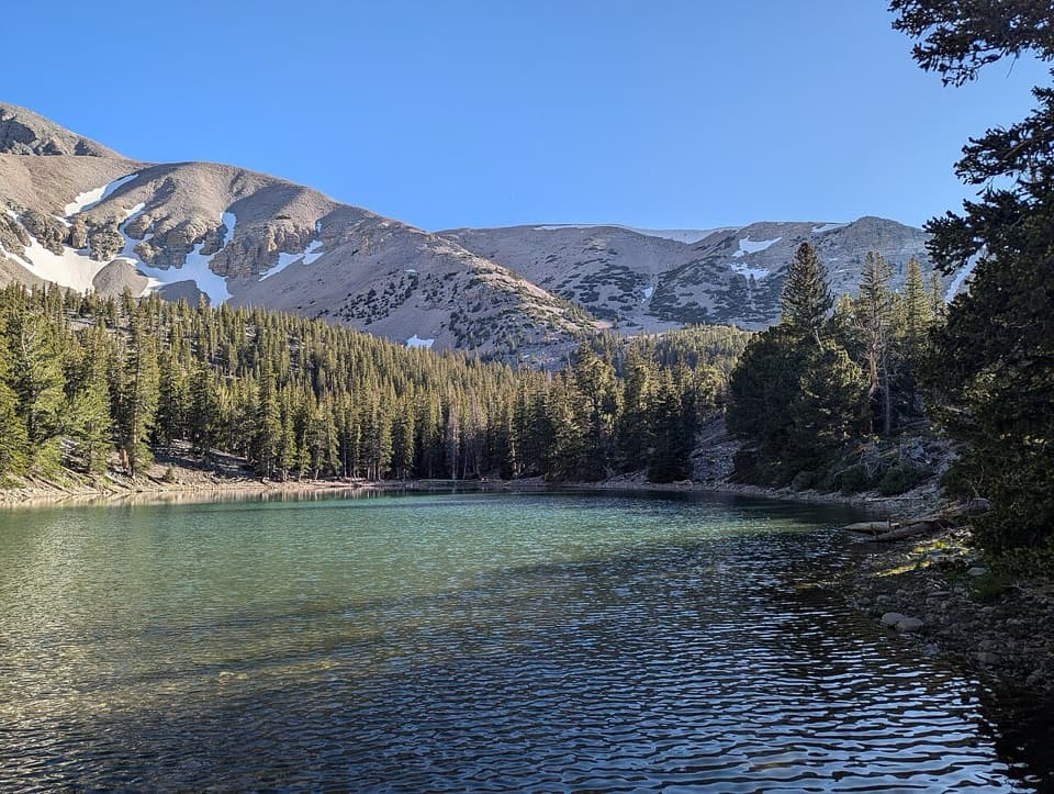 EasyAlpine Lakes Loop2.7 mi · 2.3 hr · 0.5 mi awayTwo alpine lakes and a Wheeler Peak backdrop reward the climb.
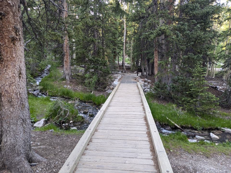 EasySky Island Forest Trail0.4 mi · 30 min · 0.5 mi awayA level boardwalk loop through a forest high above the desert.
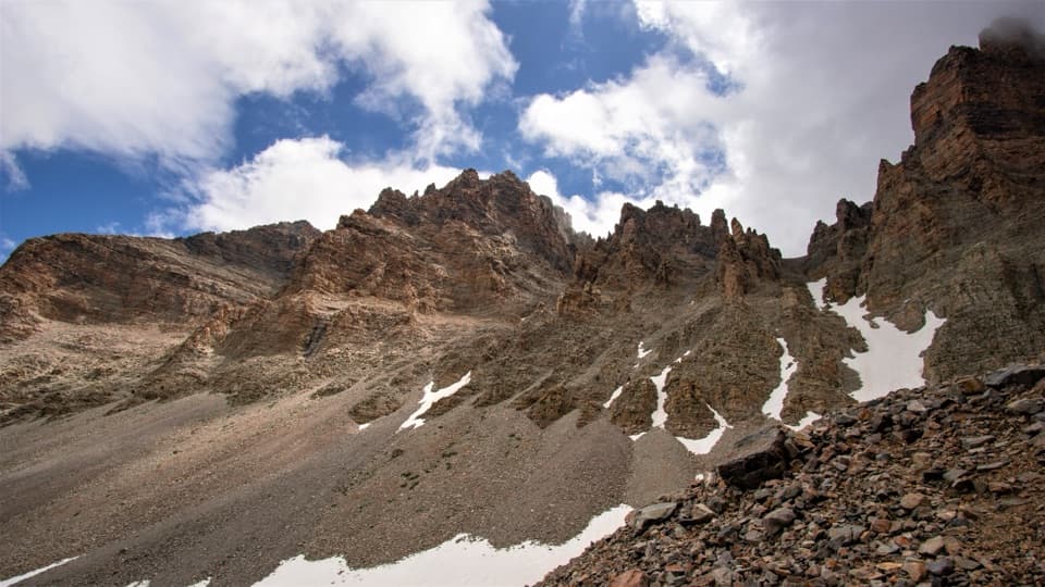 ModerateGlacier Trail4.8 mi · 3 hr · 0.5 mi awayAncient bristlecones lead into the rocky cirque of Nevada’s last glacier.
 ModerateBristlecone Trail2.8 mi · 2.3 hr · 0.5 mi awayAncient bristlecones reward a short climb above 10,000 feet.
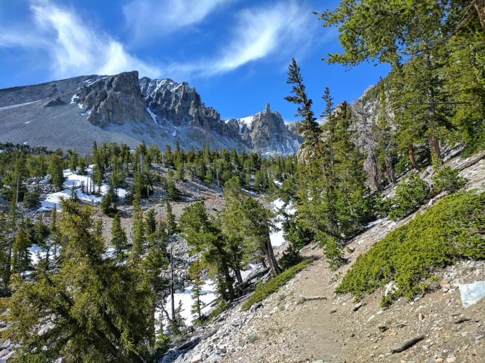 ChallengingAlpine Lakes, Bristlecone, and Glacier Loop6 mi · 4 hr · 0.5 mi awayTwo alpine lakes, old bristlecones, and a rocky glacier climb.EasyTeresa Lake Trail1.5 mi · 1 hr · 0.5 mi awayA short, high-altitude walk to Teresa Lake beneath Wheeler Peak.
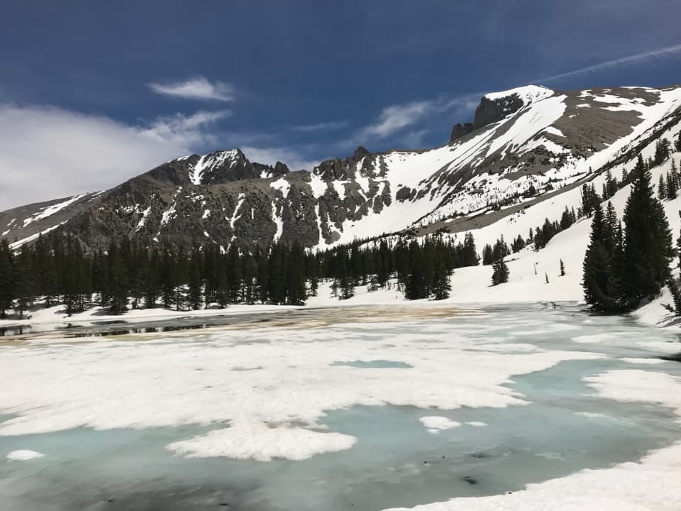 ModerateStella Lake via Alpine Lakes Loop Trail2.1 mi · 1.5 hr · 0.5 mi awayA high lake beneath Wheeler Peak, a little over a mile in.
 Campground · 0.4 mi awayWheeler Peak CampgroundCamp beneath Wheeler Peak at the National Park System's highest campground.
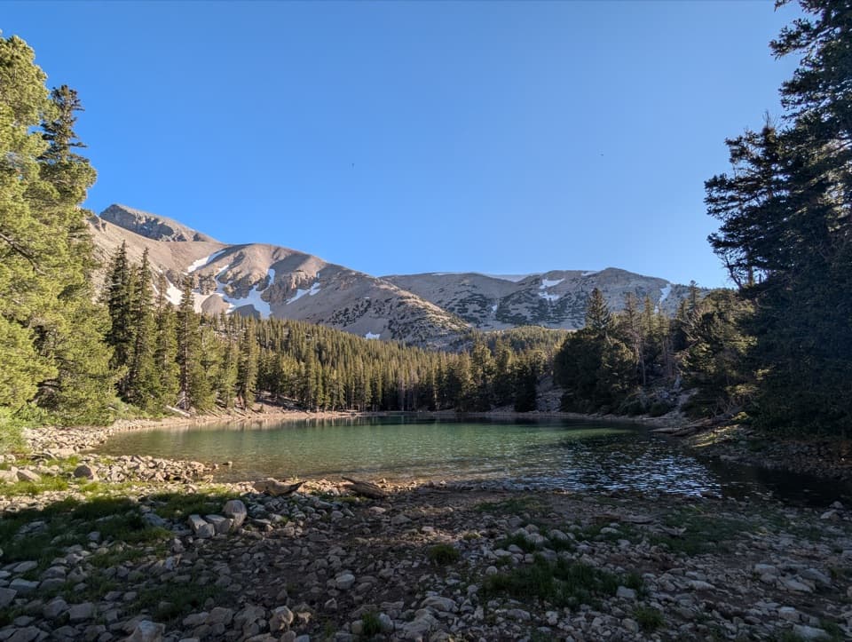 Sight · 1.1 mi awayTeresa LakeA short spur brings Wheeler Peak into the lake view.
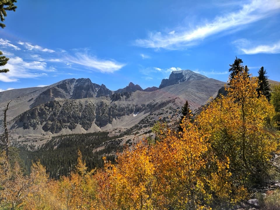 Sight · 1.1 mi awayWheeler Peak OverlookThe road's only look at an ice-filled rock glacier.Sight · 1.1 mi awayWheeler Peak Bristlecone GroveA high-country hike among bristlecones and glacial boulders.
 Sight · 1.1 mi awayStella LakeA mountain lake worth the full high-country loop.
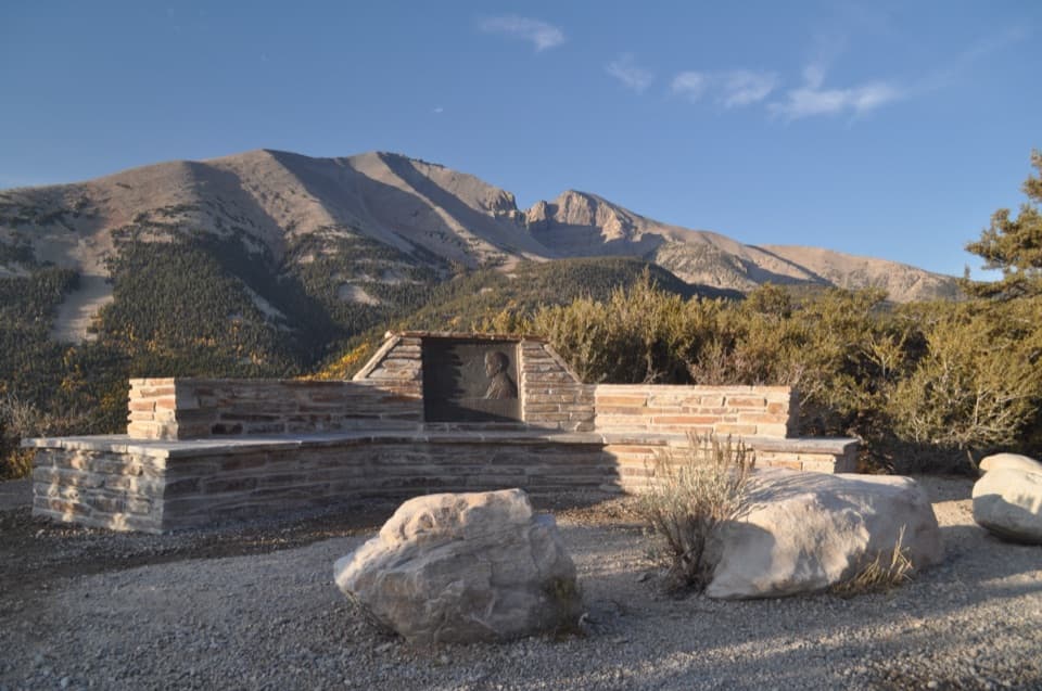 Sight · 1.6 mi awayMather OverlookA close look at Wheeler Peak's cirque and its mountain life zones.Sight · 1.8 mi awayWheeler Peak Glacier ViewpointA high-altitude hike to Nevada’s last glacier, sometimes hidden by rock.
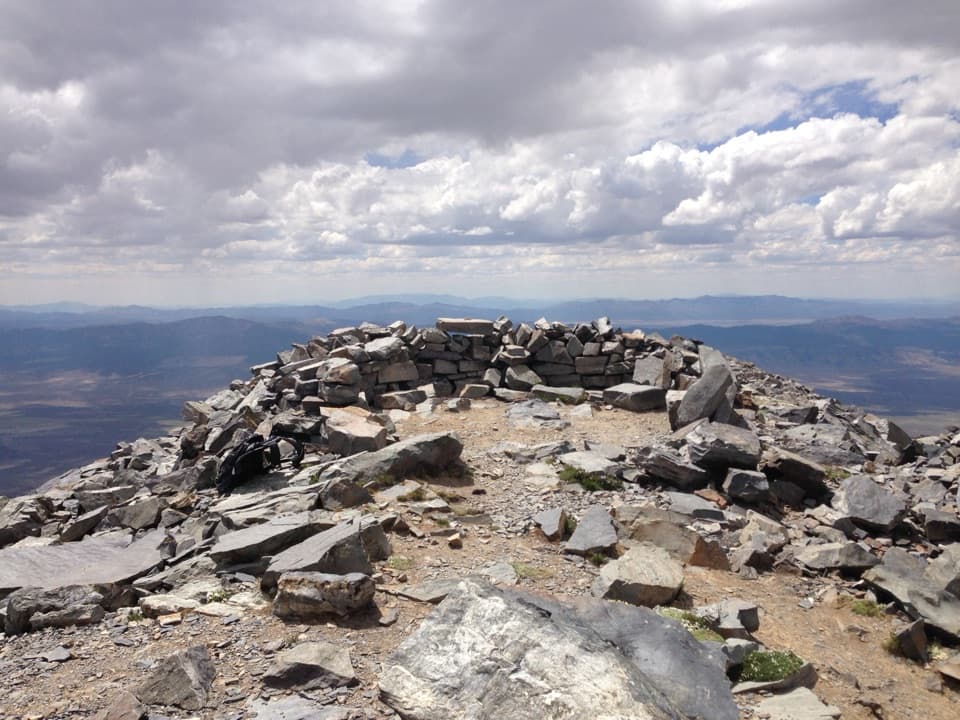 Sight · 2.3 mi awayWheeler PeakLong, exposed climb to Nevada’s second-highest summit.
Parkwolf’s Great Basin ranking
The audio tour guide for the drive, plus offline maps, trails, and wildlife heatmaps for when the signal drops.
